biodhokie
-
Posts
470 -
Joined
-
Last visited
Content Type
Profiles
Blogs
Forums
American Weather
Media Demo
Store
Gallery
Everything posted by biodhokie
-
2022 Mid-Atlantic Severe Wx Thread (General Discussion Etc)
biodhokie replied to Kmlwx's topic in Mid Atlantic
At least getting lots of water down in Bethesda. -
2022 Mid-Atlantic Severe Wx Thread (General Discussion Etc)
biodhokie replied to Kmlwx's topic in Mid Atlantic
Fairly sure there was just the one on the 12th which most everyone got some action (that cell was a big boy). I think there was another storm that came through last week but it did the same thing, I was roaming around setting up for the cell to come through and watched it just turn into a rain shower as it got close to 270. That also goes without saying the cells that do the standard DC split. -
2022 Mid-Atlantic Severe Wx Thread (General Discussion Etc)
biodhokie replied to Kmlwx's topic in Mid Atlantic
I don't know what microclimate there is where the MoCo cell is, but cells going through that area recently start dying crossing the Potomac there unless it's a mothership of a cell. -
2022 Mid-Atlantic Severe Wx Thread (General Discussion Etc)
biodhokie replied to Kmlwx's topic in Mid Atlantic
Both cells in Leesburg and Warrenton seem to be just raining lightning bolts. -
Make sure to deep fry the turkey OUTSIDE the house come Thanksgiving.
-
2022 Mid-Atlantic Severe Wx Thread (General Discussion Etc)
biodhokie replied to Kmlwx's topic in Mid Atlantic
The joys of being on the fringes of a meso/box, I am prepared to be whelmed. -
2022 Mid-Atlantic Severe Wx Thread (General Discussion Etc)
biodhokie replied to Kmlwx's topic in Mid Atlantic
The lightening display on the back side is one hell of a treat ngl. -
2022 Mid-Atlantic Severe Wx Thread (General Discussion Etc)
biodhokie replied to Kmlwx's topic in Mid Atlantic
Winds have kicked in. Def svr.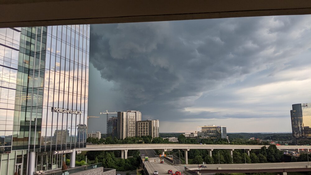
-
2022 Mid-Atlantic Severe Wx Thread (General Discussion Etc)
biodhokie replied to Kmlwx's topic in Mid Atlantic
It's green. Ooh boy. -
2022 Mid-Atlantic Severe Wx Thread (General Discussion Etc)
biodhokie replied to Kmlwx's topic in Mid Atlantic
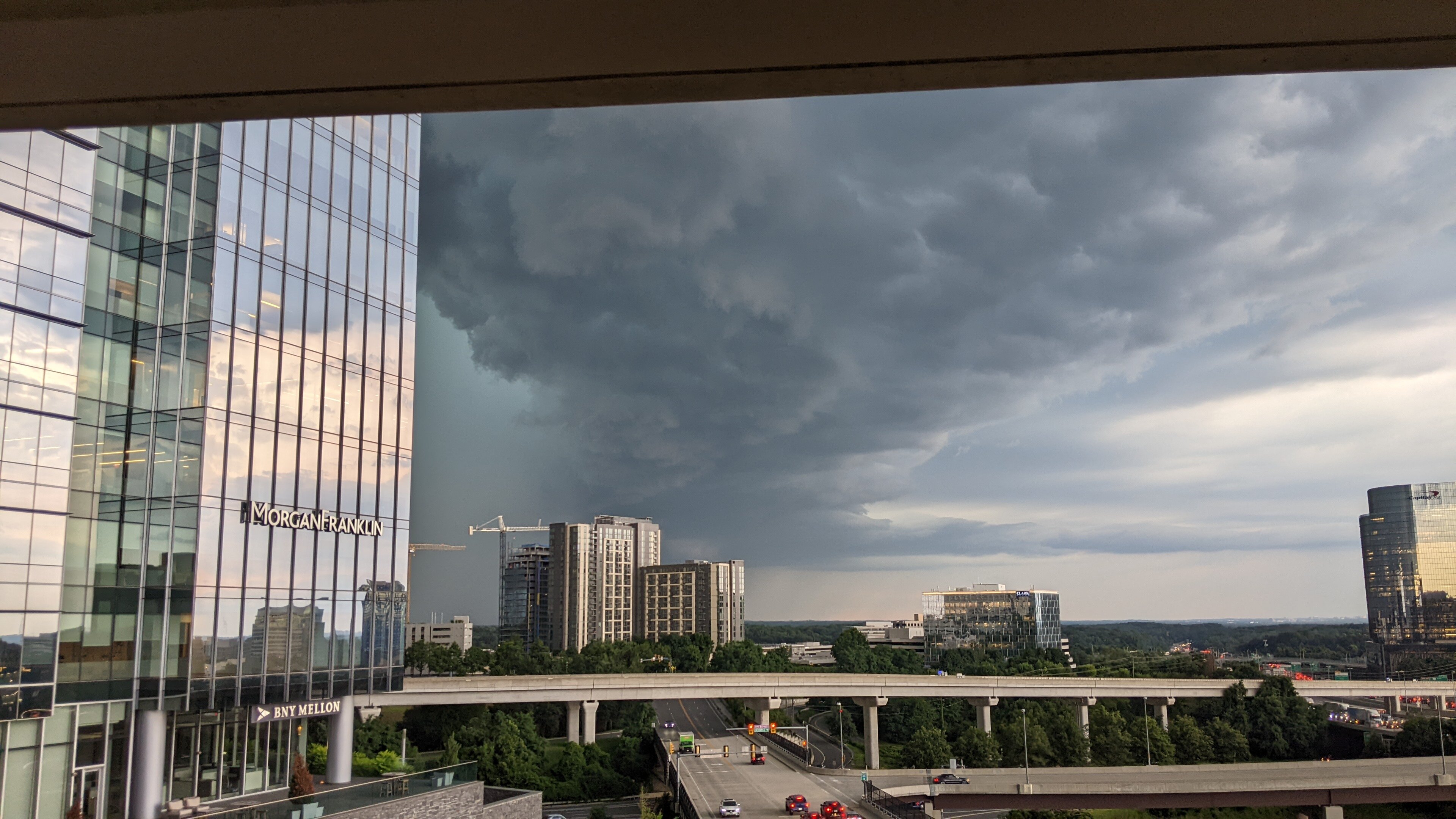
From rooftop of Tysons, can definitely see the shelf cloud getting bigger and bigger. It's not backlit so it doesn't look as ominous.
-
2022 Mid-Atlantic Severe Wx Thread (General Discussion Etc)
biodhokie replied to Kmlwx's topic in Mid Atlantic
I'm seeing the same thing, this is interesting for these parts. -
2022 Mid-Atlantic Severe Wx Thread (General Discussion Etc)
biodhokie replied to Kmlwx's topic in Mid Atlantic
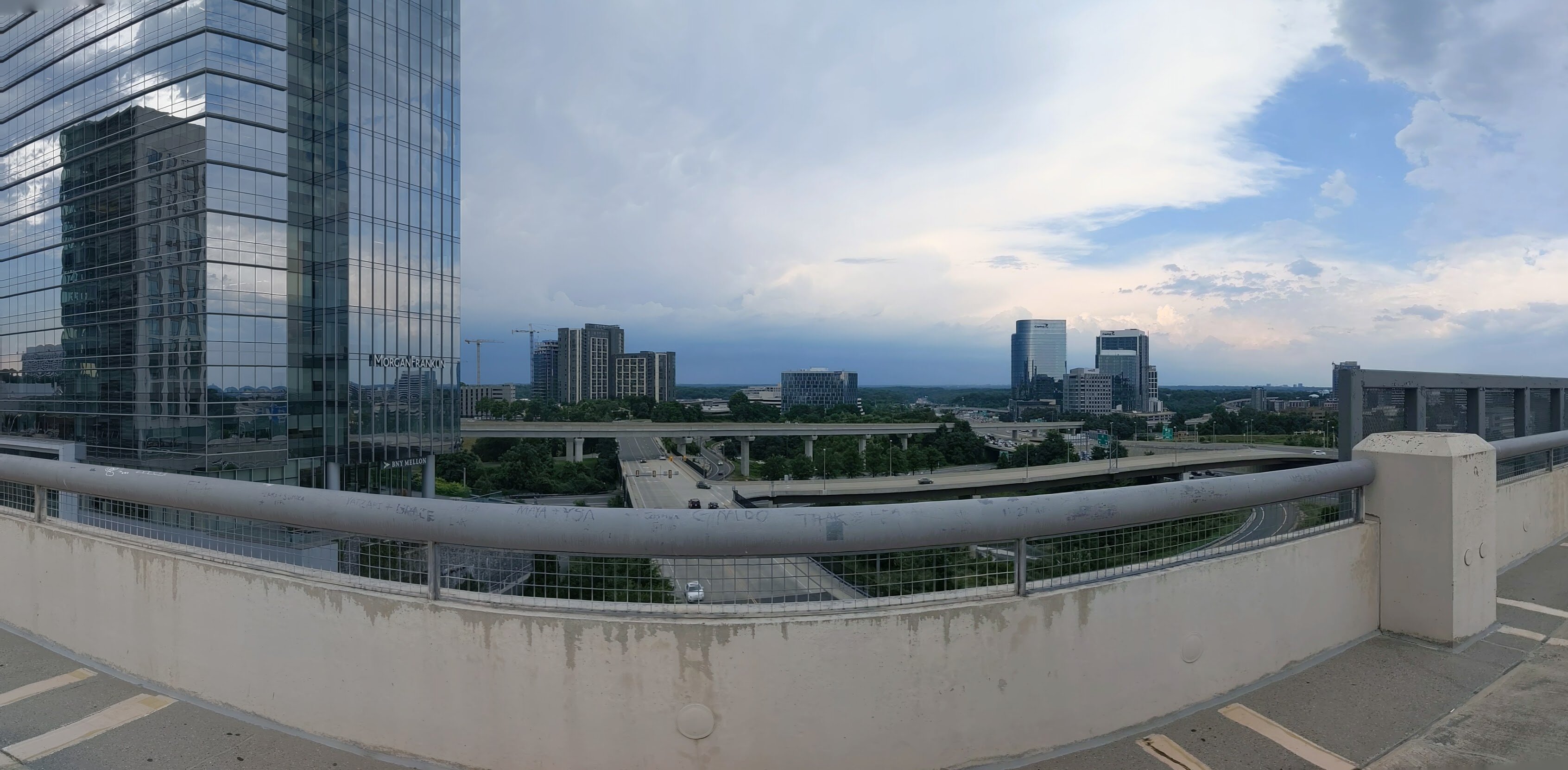
Looking towards MD from Tysons Corner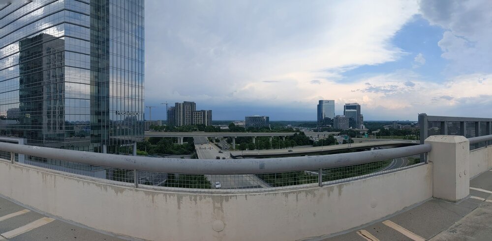
-
2022 Mid-Atlantic Severe Wx Thread (General Discussion Etc)
biodhokie replied to Kmlwx's topic in Mid Atlantic
Already seeing mammatus clouds on the leading edge here in Tysons. -
2022 Mid-Atlantic Severe Wx Thread (General Discussion Etc)
biodhokie replied to Kmlwx's topic in Mid Atlantic
Uhh...Velocity scans in the 100 mph range? -
2022 Mid-Atlantic Severe Wx Thread (General Discussion Etc)
biodhokie replied to Kmlwx's topic in Mid Atlantic
General track extrapolation puts the WV cell into DC proper, south towards Alexandria and Springfield. Someone here is gonna get smoked if she keeps going. -
2022 Mid-Atlantic Severe Wx Thread (General Discussion Etc)
biodhokie replied to Kmlwx's topic in Mid Atlantic
Severe Thunderstorm Warning Severe Weather Statement National Weather Service Baltimore MD/Washington DC 346 PM EDT Tue Jul 12 2022 WVC027-031-122000- /O.CON.KLWX.SV.W.0246.000000T0000Z-220712T2000Z/ Hardy WV-Hampshire WV- 346 PM EDT Tue Jul 12 2022 ...A SEVERE THUNDERSTORM WARNING REMAINS IN EFFECT UNTIL 400 PM EDT FOR NORTHEASTERN HARDY AND SOUTHERN HAMPSHIRE COUNTIES... At 345 PM EDT, a severe thunderstorm was located 9 miles northwest of Wardensville, or 12 miles south of Romney, moving east at 50 mph. THIS IS A DESTRUCTIVE STORM FOR NORTHERN HARDY AND SOUTHERN HAMPSHIRE COUNTIES IN WV. HAZARD...80 mph wind gusts and tennis ball size hail. SOURCE...Radar indicated. IMPACT...Expect considerable damage to trees and power lines. Your life is at significant risk if outdoors. In addition to some trees falling into homes, wind damage is possible to roofs, sheds, open garages, and mobile homes. Locations impacted include... Wardensville, Augusta, Bean Settlement, Yellow Spring, Delray, Inkerman, Kirby, Rio, Capon Springs, High View and Lehew. PRECAUTIONARY/PREPAREDNESS ACTIONS... This storm is producing large hail. SEEK SHELTER NOW inside a sturdy structure and stay away from windows. This is an EXTREMELY DANGEROUS SITUATION with tornado like wind speeds expected. Mobile homes and high profile vehicles are especially susceptible to winds of this magnitude and may be overturned. For your protection move to an interior room on the lowest floor of a building. This storm has the potential to cause serious injury and significant property damage. Continuous cloud to ground lightning is occurring with this storm. Move indoors immediately. Lightning is one of nature`s leading killers. Remember, if you can hear thunder, you are close enough to be struck by lightning. && LAT...LON 3907 7887 3933 7883 3927 7841 3926 7842 3924 7840 3920 7844 3916 7841 3915 7843 3913 7844 3911 7846 3911 7848 3903 7857 TIME...MOT...LOC 1945Z 282DEG 44KT 3916 7873 TORNADO...POSSIBLE THUNDERSTORM DAMAGE THREAT...DESTRUCTIVE HAIL THREAT...RADAR INDICATED MAX HAIL SIZE...2.50 IN WIND THREAT...RADAR INDICATED MAX WIND GUST...80 MPH $$ BELAK -
2022 Mid-Atlantic Severe Wx Thread (General Discussion Etc)
biodhokie replied to Kmlwx's topic in Mid Atlantic
New Blue Box for areas north of the Mason-Dixon. -
I'm squeezing the Euro for all it's worth. I was expecting hot and sunny rather than needing waders for tomorrow.
-
2022 Mid-Atlantic Severe Wx Thread (General Discussion Etc)
biodhokie replied to Kmlwx's topic in Mid Atlantic
I've got a golf tournament on Saturday and knowing my luck it's going to be that 0.01 time on Saturday. Probably the only time this summer where I'll beg for a torch. -
2022 Mid-Atlantic Severe Wx Thread (General Discussion Etc)
biodhokie replied to Kmlwx's topic in Mid Atlantic
Non-stop fire sirens in Silver Spring. Makes me wonder if multiple water rescues are needed since people weren't turning around when I saw flooded roads. -
2022 Mid-Atlantic Severe Wx Thread (General Discussion Etc)
biodhokie replied to Kmlwx's topic in Mid Atlantic
SEVERE THUNDERSTORM WATCH OUTLINE UPDATE FOR WS 417 NWS STORM PREDICTION CENTER NORMAN OK 310 PM EDT FRI JUL 1 2022 SEVERE THUNDERSTORM WATCH 417 IS IN EFFECT UNTIL 700 PM EDT FOR THE FOLLOWING LOCATIONS MDC003-005-013-015-017-021-025-027-031-033-043-510-012300- /O.NEW.KWNS.SV.A.0417.220701T1910Z-220701T2300Z/ MD . MARYLAND COUNTIES INCLUDED ARE ANNE ARUNDEL BALTIMORE CARROLL CECIL CHARLES FREDERICK HARFORD HOWARD MONTGOMERY PRINCE GEORGES WASHINGTON MARYLAND INDEPENDENT CITIES INCLUDED ARE BALTIMORE CITY $$ -
2022 Mid-Atlantic Severe Wx Thread (General Discussion Etc)
biodhokie replied to Kmlwx's topic in Mid Atlantic
Mesoscale Discussion 1190 NWS Storm Prediction Center Norman OK 0146 PM CDT Thu Jun 16 2022 Areas affected...Western Maryland...eastern West Virginia...and northern Virginia. Concerning...Severe potential...Watch possible Valid 161846Z - 162015Z Probability of Watch Issuance...40 percent SUMMARY...Continued storm development is likely through the afternoon with a threat for large hail and damaging winds. DISCUSSION...A cluster of storms has developed over the mountains in southern Pennsylvania this morning with a few severe thunderstorm warnings issued. Satellite and radar trends show additional development in the vicinity which should also pose a threat for strong to severe storms. Effective shear is in the 25 to 30 knot range which will support multicell clusters and occasional rotating updrafts. Damaging winds and isolated large hail will be the primary threat through the afternoon, especially if any forward propagating clusters can develop. The primary limiting factor is the more stable airmass to the east, but southward moving clusters should be able to maintain themselves with moist/unstable air west of the surface trough. A severe thunderstorm watch may need to be considered if severe storms become more numerous/show greater organization. ..Bentley/Guyer.. 06/16/2022 ...Please see www.spc.noaa.gov for graphic product... ATTN...WFO...AKQ...CTP...LWX...RNK... LAT...LON 38957926 39677868 39807793 39697757 39477749 38827748 37667811 37177884 37217929 37987950 38957926 Our pity MCD is here. -
2022 Mid-Atlantic Severe Wx Thread (General Discussion Etc)
biodhokie replied to Kmlwx's topic in Mid Atlantic
So officially we're in AmWx-MA SVR Step 2 mode? -
2022 Mid-Atlantic Severe Wx Thread (General Discussion Etc)
biodhokie replied to Kmlwx's topic in Mid Atlantic
RAP holds that super sharp gradient. If we can just break through the cap, might give me hope.