Terpeast
-
Posts
6,687 -
Joined
-
Last visited
Content Type
Profiles
Blogs
Forums
American Weather
Media Demo
Store
Gallery
Everything posted by Terpeast
-
I’ll try measuring in another spot at 5 am
-
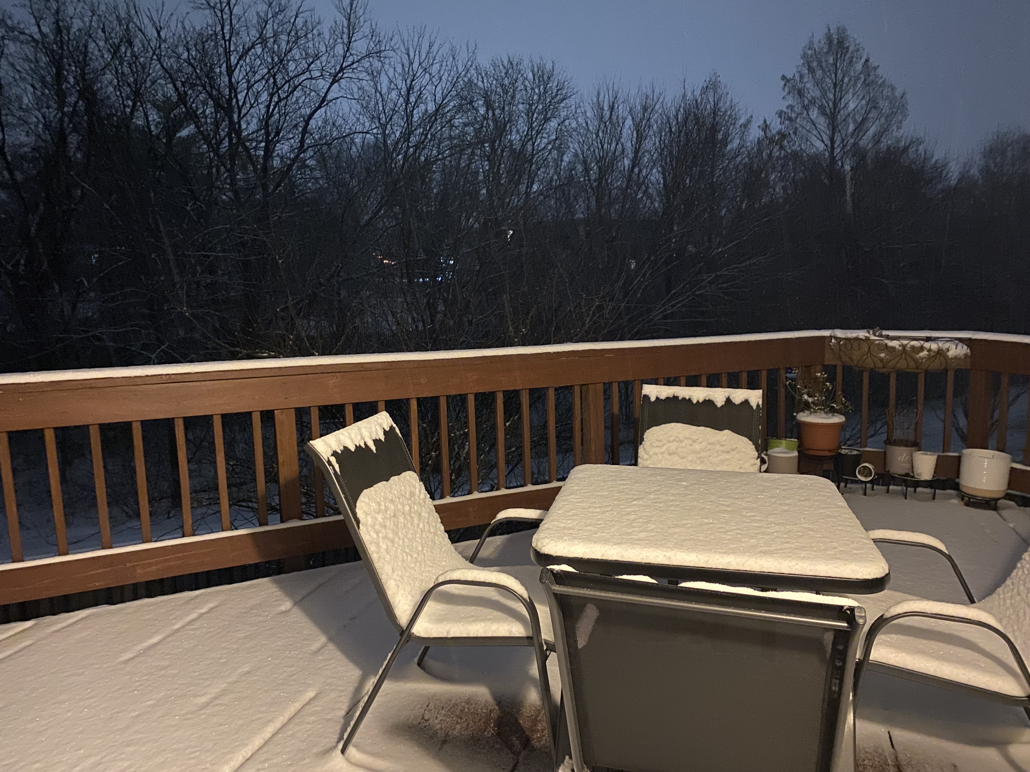
That’s what I measured on the deck. But for sure I am over 2”. Snowing heavily. Flakes bigger too. It was needles before
-
1.8” in ashburn, picked up 0.5” since an hour ago. But rates picking up now
-
Heavier rates now
-
Too excited I can’t sleep anyways
-
Steady SN, 25/23. Will go measure again in 20 min
-
Grass about to be completely covered. Ashburn
-
8” for mby, should be doable someone to the ESE of DC will probably see 16”. Maybe Wes
-
Thats even more pronounced than previous runs! So if you’re disappointed with the front batch, just wait.
-
Being on the north side of heavy stuff flakes will be small. But should fatten up when the firehose is right on top of us. You’re a bit east of me so you should do a little better
-
Logging mẹ 1.3” at 3:00 am in ashburn
-
If you’re already at 2” by now, I’m thinking double digit totals
-
You’re about to get a real beatdown
-
Surpassed 1” in Ashburn

-
Close to an inch. Ashburn.
-
Radar looks beefy to the WSW!
-
Coming down good, small flakes but visibility is noticeably down. 0.5” so far in ashburn
-
26/23 mod snow, ashburn.
-
Coating. 27. How are we doing?
-
31/10 in ashburn, going to sleep now and try to wake up at 3 am
-
9-12” NAM 3k for everyone between 66 and 10 miles south of M/D line
-
Beat down again!
-
NAM 3k 7-11” area wide through 21z, and that’s s before the ULL pass
-
Noticed no dry slot down to 66/50
-
Dews coming up. 31/15