

Terpeast
-
Posts
6,687 -
Joined
-
Last visited
Content Type
Profiles
Blogs
Forums
American Weather
Media Demo
Store
Gallery
Everything posted by Terpeast
-
Yeah that can't be right. IAD should be around 6" unless they got shafted between the ULL bands, which I seriously doubt.
-
I got about 1.5” from the ULL, but the little band during the lull also added 1.3” to my morning snowfall. Started out slow in the beginning, like a full inch behind other obs around me and then caught up a bit. Then the latter parts were nice stat padders.
-
Various trace days between Thanksgiving and the following date. 12/24: 0.1” snow/ice mix 1/3: 0.3” fun snow squall with legit blizzard conditions for 5-10 min 1/6: 7.6” SECS that started slow but remained steady with a strong finish Total so far: 8.0”
-
Measured another 0.7” making it 7.6” final total with snow tapering off. Beautiful winter wonderland.
-
Final hurrah! Will go out and measure for final report when its done.
-
Coming down again good in Ashburn with that last band
-
Tbf they were at 5-10 locally 16 in their WSW message (i assume their maps are automated). So it verified, albeit on the lower end for those outside the 850 frontgen
-
Good to get confirmation on similar totals closeby
-
I think that little band during the lull saved a lot of us from a real bust
-
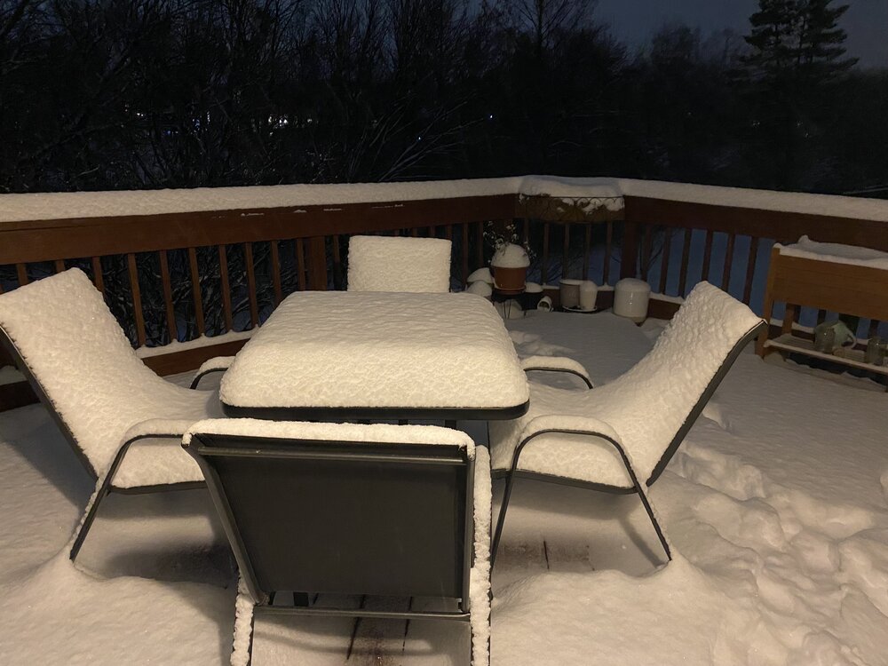
Obligatory deck pic. Still pixie flakes
-
7” here
-
Well indeed its. That’s something
-
Just measured an additional 0.8”, which gets me to 6.9” It stopped snowing for now, but if I get another small band, then I hit 7” 6” OTG though with earlier compaction. Good storm, I’m happy.
-
Still snowing, sidewalks covered again. Streets caving. But dry slot upon me, so it may end soon
-
Light mod snow with good dendrites. We will see how much it will add to my totals. Maybe one more inch
-
Few big flakes. It's trying.
-
Very light snow, accumulations have not resumed yet. Hopefully just working its way to the surface.
-
Same. The pause didn't last long.
-
Snizzle started again under those returns (Ashburn). Will update if anything changes for the better
-
For the first time today, precip has stopped. If @clskinsfan is still seeing pixie dust, it may start again soon here too
-
Latest NAM 3k and RAP currently depict less than an inch for most of the sub. Maybe with higher ratios we can eek out an inch, but idk
-
What's your total so far? I went out to measure and I also picked up another 1.3", bringing my total to 6.1". But wanted to confirm if anyone else in Loudoun county also got 6"+?
-
I walked right into that one…
-
Agree. I think given the data and parameters, the forecast was fair and well done. Someone was going to get double digit totals, and others were only going to reach the low end of the forecast range. I wouldn’t call it a bust, even though my backyard underperformed with the frontend thump. Dry air and poor snow growth really ate into the totals, but regardless it is a winter wonderland out there. It looks the same to me whether I got 6” or 9”. this surprise little “lake effect” band is a nice one though. Really fluffed things up! I’m happy with the way things turned out even though I got nowhere near the jackpot.
-
Nice dendrites from this “lake effect”-like band


