jdt
-
Posts
846 -
Joined
-
Last visited
Content Type
Profiles
Blogs
Forums
American Weather
Media Demo
Store
Gallery
Everything posted by jdt
-
Several measurements and looks like about 13”, Sparta. .
-
5.5” measured, Sparta .
-
No official measurement but closing in ~4” in Sparta. .
-
I believe it is real. A realization of a band of precipitation to NW with some orographic enhancement. Will it be 15-18” or 18-24” is the question. Arguments could be made for either range but as it looks now I like the lower end of the higher range, i.e. 18-21”. Wider scale 18-24” is reserved for central / southern coastal NJ NYC into LI. .
-
Hard to see but a small 30” dot almost directly over me. lol .
-
Technically you are correct and this modestly knowledgeable amateur won’t argue semantics over it. The reality, though, is the strength, placement and evolution of such features, whatever they are called, heavily dictate how much falls where. All this, of course, driven by surface & mid level tracks / dynamics which is all driven by upper level dynamics. Regardless of final outcome it’s fun tracking. Enjoy! .
-
I agree with that for the typical NW NJ jackpot zone from Highland Lakes / West Milford to Hardyston, Sparta Mt, Jefferson to Hopatcong. But I think still a very solid chance of 24”. It’s that early stage nervousness as some guidance backs off / shifts around while we watch it develop in real time. Will be mid to late afternoon until the more organized banding begins to really develop and we can begin to truly know which way this is going. .
-
I like to say orographic enhancement [emoji6] .
-
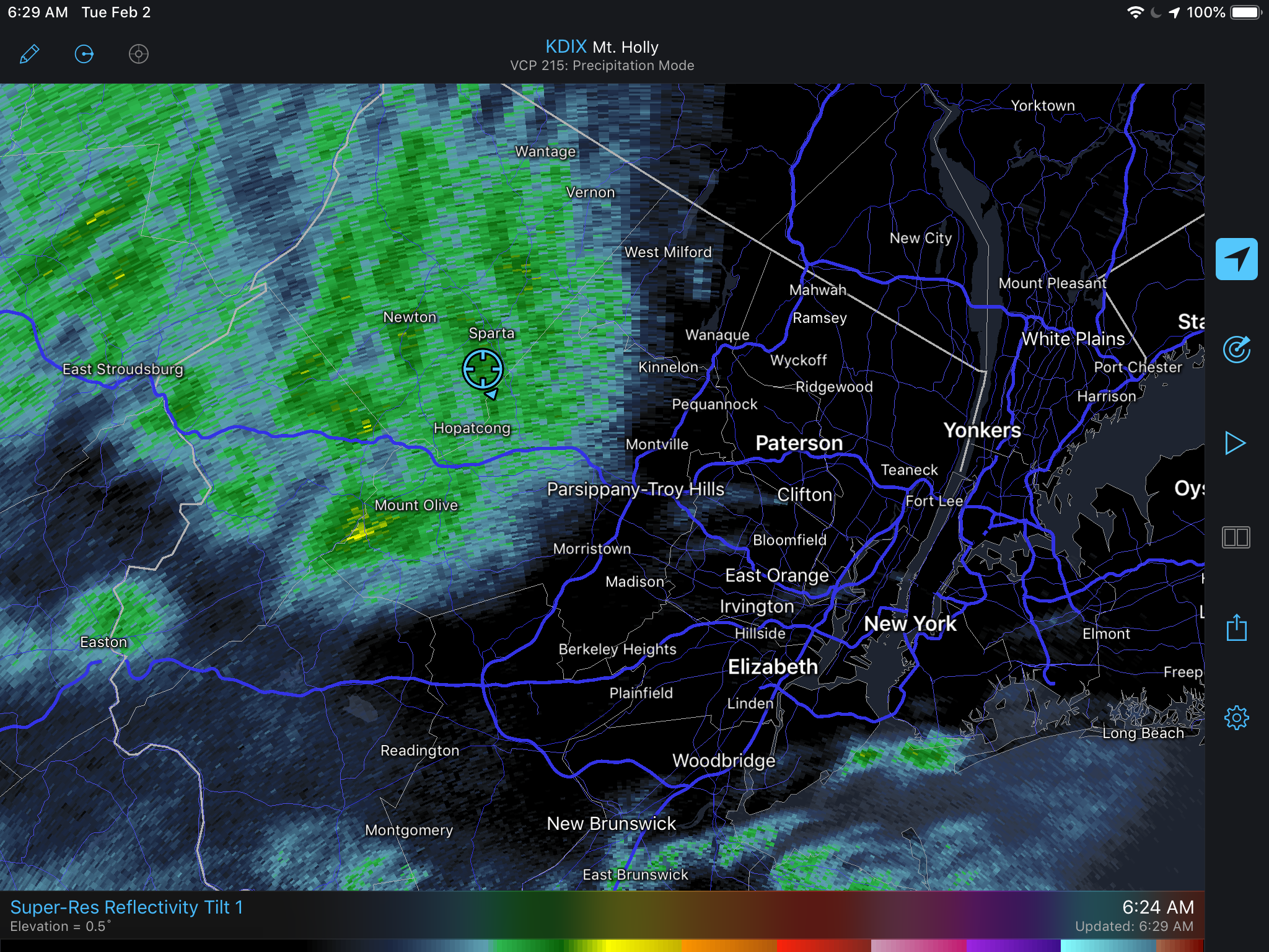
The 3k is picking up on local topography on NWNJ. The band is over western edge of NNJ highlands region. The lighter band to west is kittatinny ridge .
-
All but paved surfaces now a solid measurable coating. Sparta 900’ elevation. .
-
Snowing at 900’ elevation in Sparta. Light coating on elevated surfaces. .
-
Based on your handle, which I like, I assume you are in southern Transylvania county near the escarpment. We bought property a number of years ago in a low key POA out East Fork Rd out past Connesstee Falls. Hope to build there in 3-5 years. The area from Ceasar Head to Lake Toxaway will likely total 15-25”. The land of Waterfalls is going to be raging! Best of luck and be safe! .
-
I assume that is at the Airport which is south of town. Asheville general has lower totals then surrounding areas do to mountains shadowing from multiple directions. We bought property to build on in the future about an hour south of there very close the the SC line and Blue Ridge Escarpment. Totals there can usually be double to triple that of Asheville. Saw a CoCoRaHS report posted earlier today of ~12” near Connesstee Falls which is about 10 minutes from our property. .
-
Two Mdt to high impact events NYC subforum; wknd Jan 6-7 Incl OBS, and mid week Jan 9-10 (incl OBS). Total water equiv by 00z/11 general 2", possibly 6" includes snow-ice mainly interior. RVR flood potential increases Jan 10 and beyond. Damaging wind.
jdt replied to wdrag's topic in New York City Metro
3.32” in the Stratus Gauge. Sparta, Sussex County, NJ. . -
Moderate-High Impact Storm Noon Sun Dec 17, 2023 - 4PM Mon Dec 18. Flooding rain I95 corridor northwestward, coastal tidal flooding, brief periods of damaging 50 MPH+ wind gusts LI/CT Monday, ends as a little wet snow interior elevations Tue morning.
jdt replied to wdrag's topic in New York City Metro
4.05” in the Stratus rain gauge. Sparta, Sussex County, NJ .- 489 replies
-
- 1
-

-
- flooding rains
- coastal flooding
- (and 4 more)
-
10am: 29f with moderate snow ~2-3” otg (900’ elevation)
-
4.41” storm total. Avoided the worst by about 20-30 miles.
-
It looks like that is a WxFlow station thus a haptic rain sensor. Take it with a grain of salt especially with any wind.
-
My running total is for the entire event which begin with some lighter rain yesterday evening.
- 1,603 replies
-
- 1
-

-
- hurricane gusts
- flooding rains
- (and 2 more)
-
I was at 2.52” as of 5:45pm via the Stratus rain gauge. That’s total since yesterday evening. Some of the heaviest rain thus far has been in past 1/2 hr thus likey closing in on 3” at this point.
- 1,603 replies
-
- 1
-
-
- hurricane gusts
- flooding rains
- (and 2 more)
-
SVR-PRE (ELSA) potential NYC subforum Tue-Fri morning July 6-9, 2021
jdt replied to wdrag's topic in New York City Metro
That band Forky mentioned from this morning over NNJ and a persisting arching band afterwards accounted for about 2/3rds of my event total. The Stratus measure 3.02” for the entire event. -
You would be correct here. Compaction is keeping pace with additional accumulation especially since last evening and over night snow was of more dense nature which is enhancing compaction of the fluff underneath.
-
This is insanity at this point. Make it stop! Another 3” over night ... accumulated measurements at 33”. And still snowing!

- 1,932 replies
-
- 1
-
-
- heavy snow
- wind damage
- (and 1 more)