

midatlanticweather
-
Posts
4,926 -
Joined
-
Last visited
Content Type
Profiles
Blogs
Forums
American Weather
Media Demo
Store
Gallery
Everything posted by midatlanticweather
-
1.94 inches here. Few spots vert close by have had almost 2.5 inches. That may be more convective rain firing and headed for Loudoun. Not super organized yet.
-
The air is thick with humidity - for sure! Rain was more here than thought! Stupid weather station keeps messing me up! .44 inches so far! That is good stuff! Some stations less than 2 miles away are approaching an inch already!
-
.18 so far. 64.5 degrees. As my late dad would say "If it keeps clouding up it is ginna rain!" Every storm... Especially Thunderstorms
-
Only .2 inches overnight. Nothing yesterday. Not the rain we needed here.
-
From droughts to flash flooding! Crazy
-
This has been some great rains! Over 2.5 inches the last few days! Today 1.3 inches so far!
-
Slight Risk today for wind and hail.
- 1,378 replies
-
- 2
-

-
- severe
- thunderstorms
- (and 2 more)
-
0.42 yesterday and 0.86 today. Most rain in 24 hours in a long time.
-
Wow! Interesting look
-
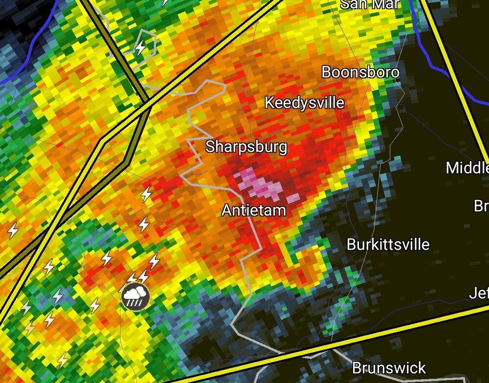
Storm in Central Loudoun is showing some hail reflectivity
-
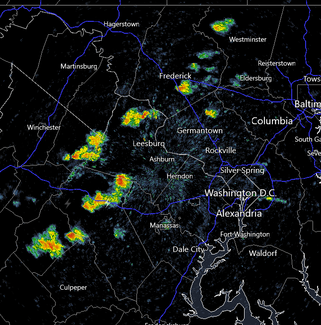
Fast little showers (maybe some lightning) coming across western areas.
-
0.13 so far! Wow! Disappointing!
-
23.7 degrees for a low!
-
Getting reports of snow flurries around the area. Currently 34.3 degrees
-
Getting some interesting looking convection firing.
- 1,378 replies
-
- 1
-

-
- severe
- thunderstorms
- (and 2 more)
-
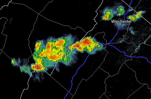
Very cool looking clouds. It looks like they are trying to rotate a bit in these cells. Maybe I'm trying to make it happen. LOL! The cell NW of Roundhill looks really cool! SW of Winchester seems to be trying to go severe.
- 1,378 replies
-
- 2
-
-
- severe
- thunderstorms
- (and 2 more)
-
Hottest day of the year for me so far. 81.1 degrees. DP 60
-
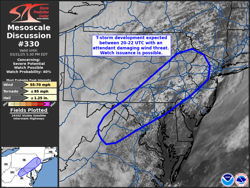
And a less enthusiastic one https://www.spc.noaa.gov/products/md/md0330.html
- 1,378 replies
-
- 1
-
-
- severe
- thunderstorms
- (and 2 more)
-
Currently 77 with a DP 62. Breezy helping it not feel too hot
-
27.6 for the low. 31 degrees right now
-
Bet on wedgies.
-
Wow! The moisture is not that impressive out here. These systems are just not that wet. Kind of nice out there right now, just the breeze makes it feel a bit cooler. Agree we need some showers. Will these have dust in them this time?
-
I believe something like this happened before in the not too distant past. Maybe just snow and not a storm
-
S
-
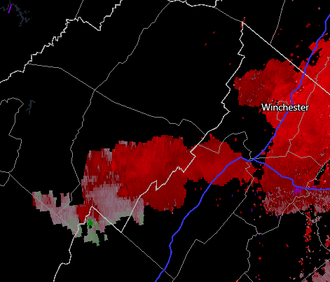
Lost the look. Still looks windy and has some hail.


