All Activity
- Past hour
-
Thake a look at my avatar. It was me....
-
Obviously the timing of an MCS is in question but lets say we're looking at a window where something could develop along a residual outflow boundary...it's probably a very small window...like 10 AM - 1 PM. The extreme instability is going to be sick to see here, unfortunately, it means nothing without a lifting mechanism.
-
MTD June NOAA PDO is likely at ~~-2.3 and full June could easily be down to ~-2.5.
-
GGEM also has rain for the coast a lot during the winter lol
-
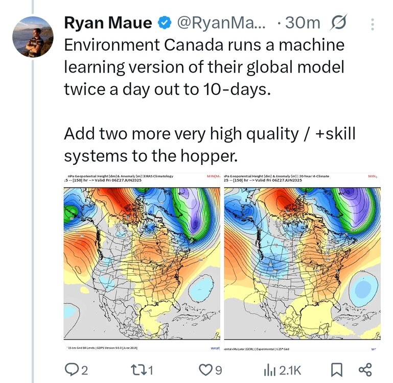
Tons of AI models around now. I had no idea the Canadian had them too
-
 we hit 88 here too but then the clouds came in
 -
12z GGEM pushes the 100s inland on Tuesday though and NYC east stays in the 90s FYI.
-
Nice, it sounds like I would be 100+ on Tuesday on that model run too.
-
This is the part that got me salivating: Some model solutions however are showing some re- development along residual boundaries/outflow from the MCS from earlier in the day; not sure how realistic that may end up being and though I think dry weather wins out, any storm that can break the cap would have an environment more typical of central Plains instability rarely seen in New England: as much as 4500 J/kg of CAPE, steep lapse rates of 8 C/km albeit with weak shear.
-
I remember Summer 2024 being extremely hot in the Poconos, it was the first time in my life I needed air conditioning at 2,000 ft elevation out there, not even the very hot summers of 1991, 1993, 1995, 1999, 2002, 2010, 2011, needed that =\ Was Allentown on the list of their hottest summer last year? Mount Pocono too? Oh I pointed out the September / October heat of Monsoons in Asia because I think we might be headed in that direction too, we've had summerlike early-mid Falls lately. Last October-mid November was very summer like and September has been for awhile now. Think we can beat those old records from the 1930s-1960s this decade? I saw a few June 100s records from that time period a few years in the 50s had temperatures of 100+ in June at NYC, even JFK was 99 in May 1969 (which seems crazy to me lol) and NYC hit 101 in June 1966 before the big heat really came in July (for all of us.)
-
12z GFS has 102 for Manhattan for Tuesday and upper 90s deep into LI.
-
That was in the old days when we didn’t automatically have a Southeast Ridge with a -PNA and -NAO like has been the default recently.
-
Upper 80s in NYC for Monday on the 12z GGEM, down into the 70s by 8PM. The 6z Euro is the only model pumping out 100s for NYC on Monday, but that's an old run, let's see what 12z shows.
-
90 at noon
-
Who here made a bargain with the devil? That's all I can think of after seeing the forecast upon landing. 88/80 seems quaint compared to what I'm staring at. Sent from my SM-G970U1 using Tapatalk
-
0.41" of rain from the stms that moved through last night. Up to 3" in other areas of NE MN. The Iron Range has had copious amts of rain lately. 5-7" worth. Cornucopia, WI, on the Bayfield peninsula had a 78 mph wind gust, and hail reports around the area up to 1". Grandma's Marathon went well this morning. At 0800 I was awakened by jets from the 148th Fighter Wing out of DLH doing low flybys. Thought it was thunder at first, until the screeching jet noise. And they went over a few times. Pretty cool!
-
The highs of 108° in Newark and Mineola during 2010 and 2011 still stand for our summer all-time maximum temperatures set during the month of July. 2010 remains our warmest summer near the coast. But some spots in NJ had their warmest summer in 2022. Last summer some spots in Eastern PA had their warmest summer. So although the coastal sections haven’t exceeded 2010 yet, go just to our west and they have had 2010 style heat in recent years. Although the all-time daily highs haven’t been as impressive as 2010 and 201l were to us. Mostly a function of the prevailing wind direction. But for all-time June heat the 2020s stands alone. As we are on track to even surpass June 2021 for 100°+ coverage potentially even beating the 103° all-time June high at EWR and the 102° at Corona. We aren’t going to meet the formal definition of a monsoon climate here. But we have been experiencing aspects of them. Especially with the early heat in June being followed by flooding rains.
-
 88 already at ewr. Heatwave begins today there
 -
87 at noon. Forecast high is 92.
-
this feels like how models trend badly with snowfall events the processes are similar.
-
is it just for Monday or Tuesday too?
-
80s for NYC on Monday on the new 12z GFS.
-
One of these years we'll rip a good derecho through again
-
Let’s try and get this ..or something similar https://x.com/nwsgrandforks/status/1936314270964125714?s=46&t=dhcbvkjmRcyBVQtDxJ3lRg
-
88/65


