All Activity
- Past hour
-
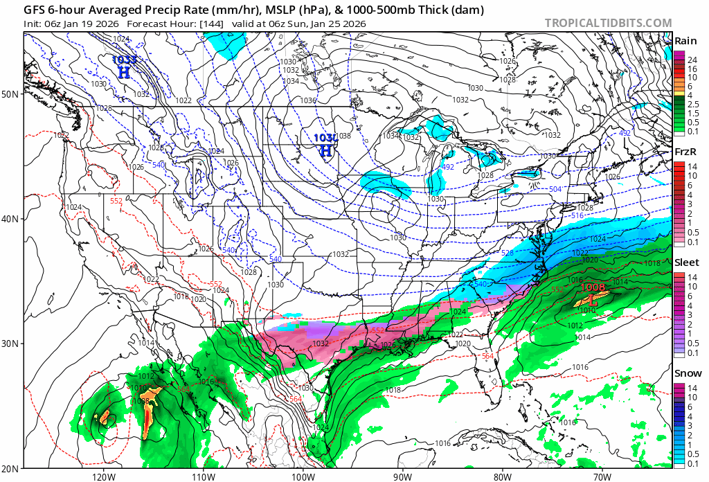
GFS is a slight tick NW but the big thing I saw was that precipitation totals were almost doubled due to the Baja low moving slightly more east.
-
I’ve been reading and interpreting model runs for 15 years, this isn’t textbook for us in many ways. That said, can still score a decent event with a singular stream wave and some tapping of gulf moisture.
-
High pressure is stronger this run.
-
Definitely an improvement compared to 06z.. in my opinion
-
at least there is no Great Lakes Low
-
Will check in with you
-
12z GFS has this starting Friday night now...
-
There’s the option that things come out, and a phase doesn’t happen. Could still give us love, but wouldn’t be the bomb. to be honest, a setup like this…I think we have to be a bit greedy to make up for the misses we’ve had since 2016 in some areas.
-
Man that GFS was close... Maybe by 0z...
-
And where the GFS tries to send a slug of moisture up west of the Apps at the last minute....I don't play that game! That feature almost always trends east. But again, probably a good thing that this system doesn't boomerang trend into the mid-state.
-
Unless we are looking at different runs, that hp is stronger and pushing farther S Can't make this stuff up.
-
Lmao you're doing great I'm just here ranting about maps. Speaking of which we flirt for so long with a phase before it starts to retrograde back west. Though... I think it might setup for a different storm later with this look.
-
Still slides just s and e with the good stuff.
-
The timing of the onset precipitation seems a little later too. Of course, that is likely due to suppression.
-

Central PA Winter 25/26 Discussion and Obs
pasnownut replied to MAG5035's topic in Upstate New York/Pennsylvania
Yep, legit concern. Just remember that things usually tick north and west of late as we close in, so keep in mind when we are sniffin cirrus on models. Cold is more stable, so it gives added credence to the worry tho. -
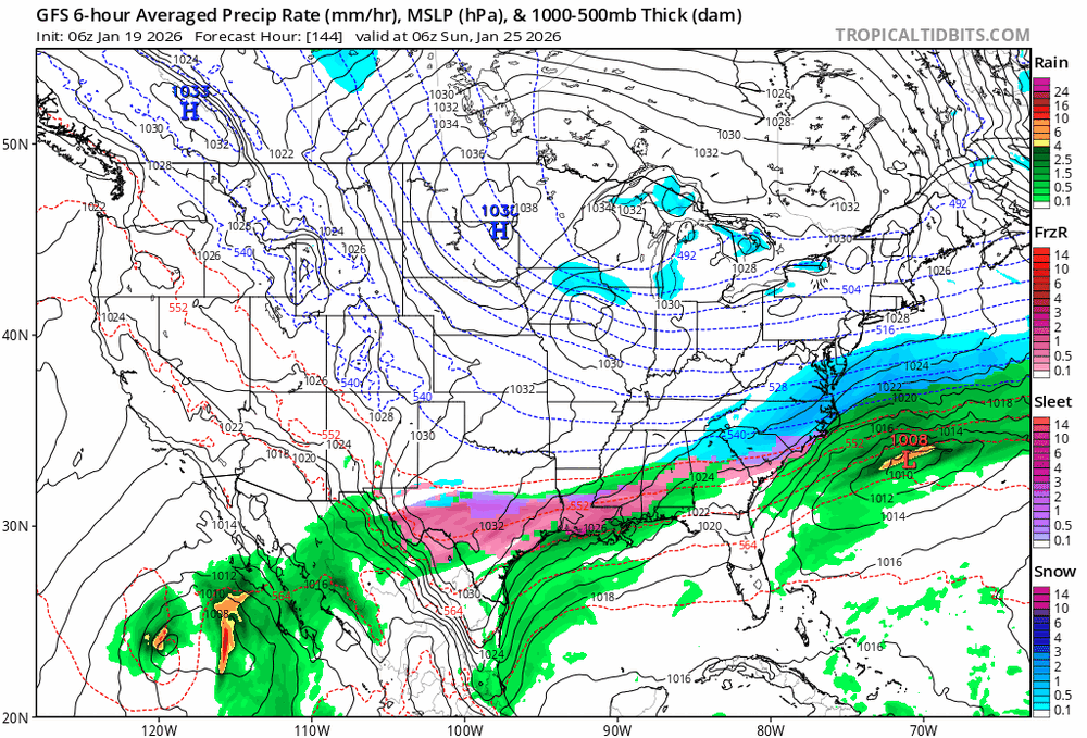
Phew - 12Z GFS - Stretched across almost half the country so far.
-
Getting our coldest airmass of the year during our coldest average week of the year. Often happens in late July as well. we’re in the “dog days” of winter now
-
.thumb.jpg.6a4895b2a43f87359e4e7d04a6fa0d14.jpg)
Central PA Winter 25/26 Discussion and Obs
Yardstickgozinya replied to MAG5035's topic in Upstate New York/Pennsylvania
I'd be careful with the Euro Ai. That baby's running at 30 petaflops . That's a lot a hell of a lot more flops than were used to. -
HP is much farther north this run compared to 6Z. Should be a good run.
-
Didn't give up on AMWX... I still lurk and will toss out something once in a while but can't lead the threads...just too much at home including a FB weather group that feeds a bunch of friends-acquaintences and work colleagues from ATL-Old Forge NY. Couldn't stay out in front of it on threads for AMWX without stressing a bit. Takes time to generate a decent pice of info, including researching the models, patterns etc. Plenty of very good thread met leaders here - glad you're getting it done! Think plowable snows. This is a very good WINTER like I used to remember. Lots of daily snowscapes, less grass.
-

Storm potential January 17th-18th
donsutherland1 replied to WeatherGeek2025's topic in New York City Metro
I made it from the 24-hour Pivotal weather QPF amounts. -
Who used to do our pbp back when it used to snow, like 2009-10, 2013-16 years? JFC
-
has to be ai because regular is supressed
-
At 120, the 12z GFS is south of its 6z run. Honestly, that is probably about where we want that model at this range. As a good friend noted, those over-running events tend to trend north. I agree.
-
It's gonna miss the phase