All Activity
- Past hour
-
that sucks. the new norm for us
-
 2005 looks like the hottest summer overall for New York State, per NCEI. June & July 2025 came in it third place at 69.3F. Right now, I have August around 68.5F for a gridded statewide mean, which would yield a meteorological summer mean of 69.0F for the state. 2005 was a scorcher! With as hot as this summer has been, it's hard to believe it was more than 1F warmer. That's huge for a statewide average.
 -
Same here. That model performs almost dead last with qpf in all seasons
-
My lawn is toast
-
 Central Park and Islip had identical high and low temperatures for the first time since May 16th. During the 1991-2020 period, they had identical high and low temperatures on an average of 6.6 days per year.
 -
 For Newark there were only two seasons with under 10 90 degree days, Here are the lowest years on record with full data sets 1933 19 1974 18 1938 18 1934 18 1950 18 1951 18 1954 18 2000 16 1978 16 1976 15 1969 15 1940 15 1942 15 2014 15 1960 15 2009 14 1935 14 1962 14 1956 14 2004 13 1946 12 1982 12 1975 12 1985 11 1996 9 1967 7
 -
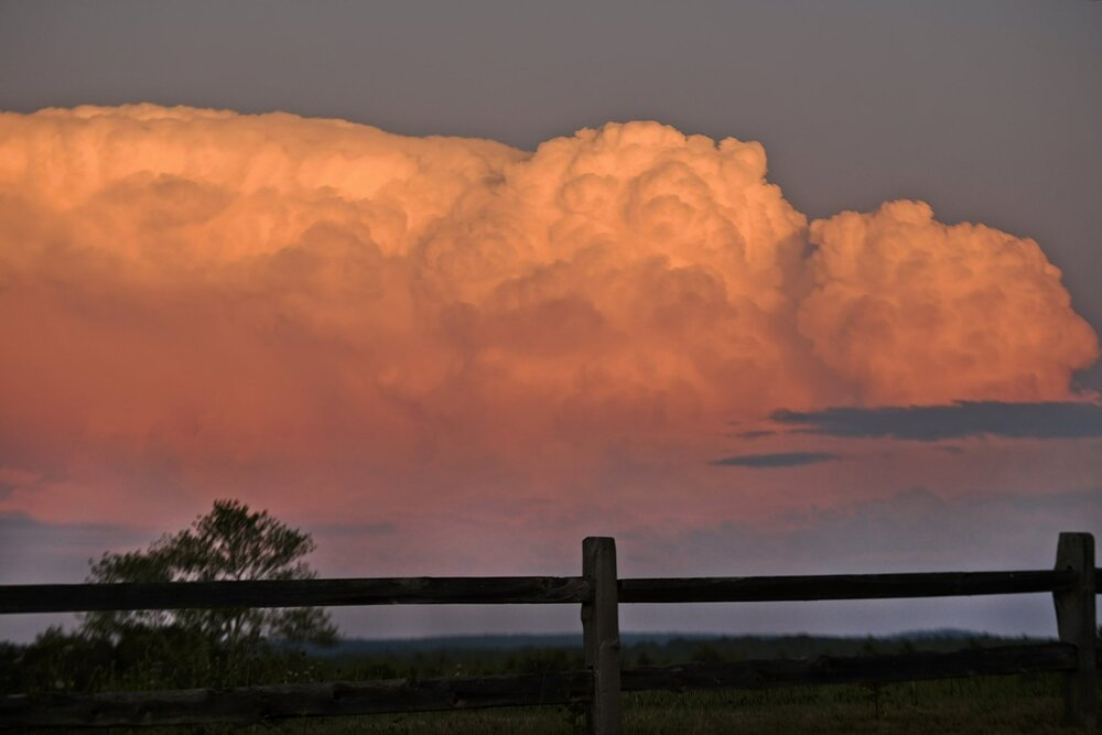
Not my pic, but earlier tonight from Hubben-tucky
-
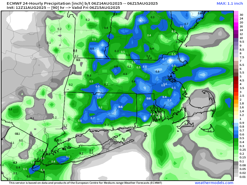
very dry times ahead. perhaps sunday a few showers/storms well NW
-

Central PA Summer 2025
Mount Joy Snowman replied to Voyager's topic in Upstate New York/Pennsylvania
That’s awesome, enjoy my friend! -
Yes. That’s true. I don’t have a sufficient base of daily dewpoint data to add it into the mix.
-
Somewhere I posted I would get under 0.2” So far, under 2 drops
-
My .03 backyard tells the Euro to go to hell in winter and summah.
-
 90 today, 18th of season
 -
 The higher humidity with dewpoints often over 75 helps heat it up overall since it carries more heat. So even though winds are onshore much of the time at JFK, it carries the higher dewpoints.
 -
Beer?
-
Was it over when Britain bombed Peal Harbor? Final story might be close with you and I dry
-
Brockton too
-
if one really "wants" a strong TC into NE, you don't want a massive major out there upwelling and flying OTS.
-
The location might be the worse for storms I’ve ever lived. .23” of a fringe job, meanwhile in lakeville, they got drenched
-
Highs: TEB: 92 EWR: 91 PHL: 91 LGA: 90 TTN: 90 New Brnswck: 90 ISP: 89 NYC: 89 ACY: 88 BLM: 86 JFK: 85 * no intra hour highs again
-
 Because it's weak and ingested a lot of dry air!
 -
This weekend/early next week might actually bring you some organized widespread convection for a change.
- Today
-
Highs: TEB: 92 EWR: 91 PHL: 91 LGA: 90 TTN: 90 New Brnswck: 90 ISP: 89 NYC: 89 ACY: 88 BLM: 86 JFK: 85 * no intra hour highs again