All Activity
- Past hour
-
I was once told this means that 20% of the area has a 100% chance of rain LOL
-

Chicago Weather Records Tracking
Chicago Storm replied to Chicago Storm's topic in Lakes/Ohio Valley
Chicago/O'Hare had a low temperature of 78° on June 21st, which broke the record high minimum temperature for the date of 74° (1923). -
Yes and don't forget the positive bust from February 1991, one of the few positive snow busts we've had that were significant.
-
NWS site forecast still showing 20% chance of rain this morning
-
The lightning detection systems often miss cloud to cloud or cloud to air lightning. They tend to be better at picking up CGs. Often elevated convective events you can see way more lightning than the detection systems pick up
-
Yes we'll have the rest of today and tomorrow to dry out from whats going on right now.
-
2/6/93
-
Well the orange man and his cronies are defunding everything so yeah.
-
that's the peak day of it so if it's going to happen it's that day
-
NWS still showing 100 for Tuesday
-
This is infuriating Raining in Asbury Nws should be ashamed
-
Peaked at 94° at ORD and 95° at MDW yesterday. ...2025 90°+ Day Tally... 4 - ORD 4 - MDW 4 - RFD 4 - DPA 4 - PWK 4 - ARR 4 - LOT 3 - UGN
-
Looks like clearing coming down CT almost near coastline per WeatherTAP satellite loop. We should be sunny by noon along the coast.
-
.01 the part of Wantage at 1030A/22. had rolls of thunder for 3 hours but less than anticipated rainfall.
-
For parts of NJ yes. We'll have to see how things are by 1PM. Things clearing rapidly east though
-
the only place that will hit 90 today will be Newark and even they will be close.
-
we're going to have to be like Dubai soon enough and have air conditioned roads and beaches lol.
-
If the tree canopy couldn’t succeed, the rain has come to help out.
-
 Based on latest radar / satellite not expecting much sun until 1:00 P.M. or so. Forecast highs in the m/u 90's going to take a hit. Best case is low 90's late afternoon in the hottest spots? Going to be hot and humid no matter later on. Just light showers and few rumbles of thunder here so far this morning but that is one thick cloud deck. Been extremely dark since around 8am. Per radar heaviest rains and possible severe mainly over NEPA.
 -
Clubs slipping in hands in Cromwell.
-
A random MCS ruining the chance of 100 at Central Park is hilarious
-
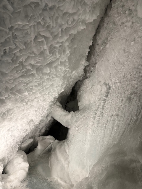
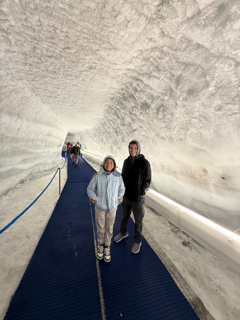
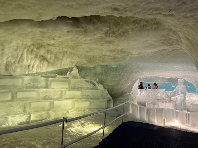
They also opened a new tramway connecting Cervinia on the Italian side to zermatt on the Swiss side, giving easy access to the ice cave. Very cool!
-
The Sunday concerts are quite cool. A lot of dancing and such. Might not literally as cool today but Antietam Dairy/Ice Cream will be there to try and cool off everyone!
-

E PA/NJ/DE Summer 2025 Obs/Discussion
The Iceman replied to Hurricane Agnes's topic in Philadelphia Region
Is that stuff up north definitely going to fall apart before reaching here? Sure seems to be heading on a trajectory to hit se pa and most of NJ. I can already hear thunder and it’s been inching further and further south. I mean I hope it does, it’ll really throw off the thermal forecast. My point and click is saying only 20% chance of rain though. Edit: I’m literally watching the 30 frame loop on RadarScope and there’s no just way this isn’t going to clip the Lehigh valley, and bucks/montco/philly on east. -
couple gigantic CTG what a treat


