All Activity
- Past hour
-
I ran out of pellets this morning. My wife better hope it warms up soon.
-
Is the end of pellet stove usage in sight?
-
Looks like @frdis about to get hit pretty good
-
Looks promising for us based on radar. Still time for it to die out when it crosses over the river though.
-
I see some stuff heading this way on radar but ofc its weakening and is hit or miss. 10% chance I get more than a few hundredths.
-
Lucky you. Just spent an hour watering lol.
-
Another 0.05" or so
-
See CoastalWx? Someone who appreciates the little things in wx. I never get sick of close CGs and wicked thund-AH! And MRGL svr was not fcst today.
-
Stop downplaying convection! There is more to wx than just SPLUS!
-
Even if heights are high over here, the low heights and cool in Ontario is going to mean lots of backdoor cold front risks.
-
Huge supercell in central Texas with hail wrapping in the RFD, overhang, possible 3" hail. New tornado warning here
-
Lol no for a minute though after this was taken I thought we might have a chance
-
Cars damaged?
-

2026 Spring/Summer Mountain Thread
Maggie Valley Steve replied to Buckethead's topic in Southeastern States
Front porch weather on this Mother's Day afternoon!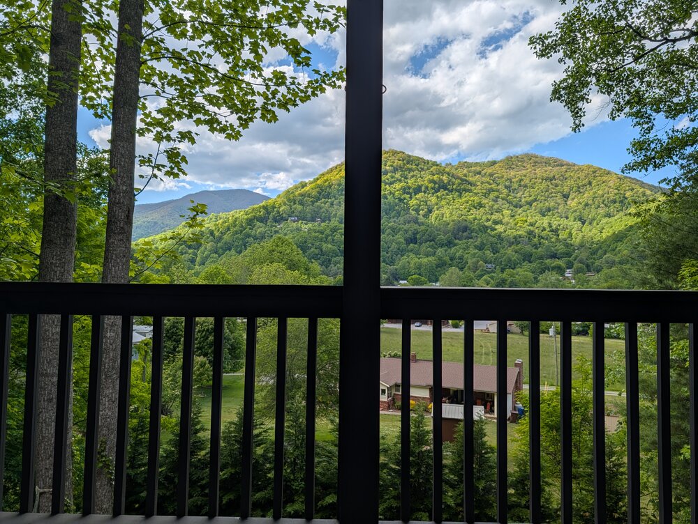
-
Only pic I took my phone got soaked but had a few bigger ones after this... awesome day @weatherwiz lol
-
Close strike baboom!!!
-
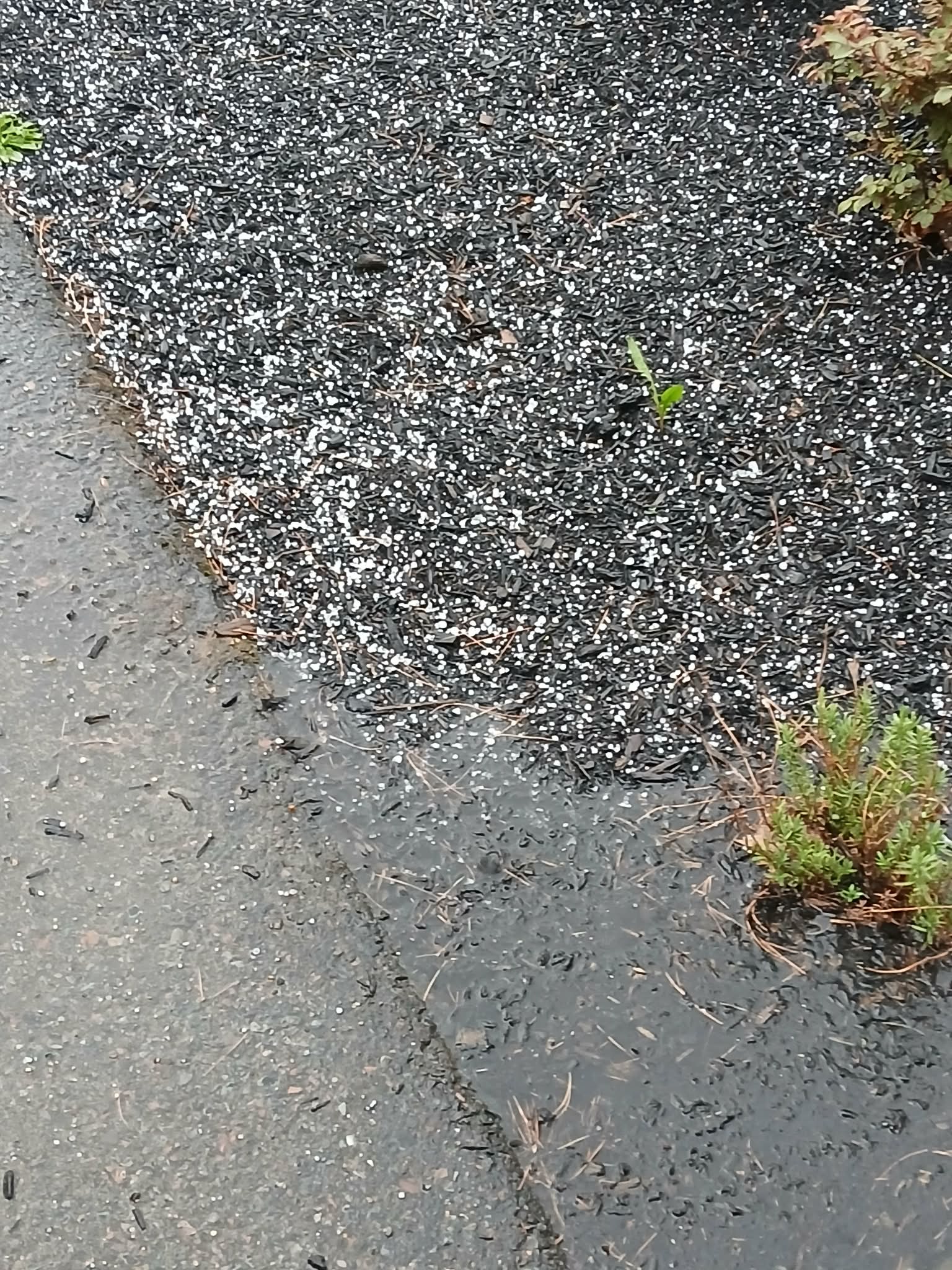
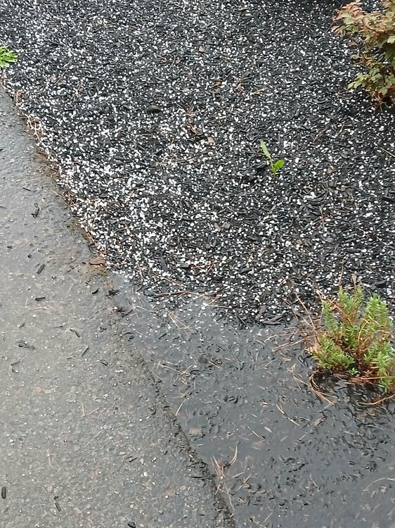
Peas with dimes mixed in this is wild!! Yard flooded
-

Winter cancelled/uncancelled banter 25/26
donsutherland1 replied to Rjay's topic in New York City Metro
Five photos from the New York Botanical Garden today: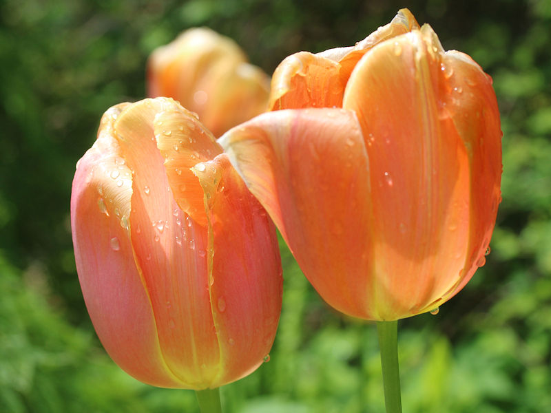


-
OK so I was able to only include NE states but it had to be limited to the current month

- Today
-
Euro backing off of the heat coming later this week. GFS a little warmer but nothing big. Looking like quite a bit of cool (some 40’s) still in the cards heading into the later part of the month with eastern troughing back at it again.
-
Nice tropical downpour came through my yard about 30 minutes ago. I see puddles and standing water. Wow!
-
So peas?
-
The daily data base is way to big. Still working on it
-
Big hail holy shit
-
May 1-10 is finishing with a mean temperature of 58.8° in Central Park. That is 1.6° below normal. Some additional showers and a thundershower are possible late tonight. Much of next week will see temperatures top out in the lower and middle 60s. Additional showers are possible on Thursday as a warm front moves northward. There remains a risk that the front could stall for a time. Friday could see temperatures return to the 70° or above should the front clear the region. It will turn warmer during the weekend. Parts of the area could reach or exceed 80° on Saturday and especially Sunday. In the long-range, there has been a shift in the guidance toward a near or somewhat warmer than normal second half of May. The probability of a warmer than normal second half of May has increased. The ENSO Region 1+2 anomaly was +1.3°C and the Region 3.4 anomaly was +0.9°C for the week centered around April 29. For the past six weeks, the ENSO Region 1+2 anomaly has averaged +1.47°C and the ENSO Region 3.4 anomaly has averaged +0.42°C. El Niño conditions will likely develop during late spring or early summer. The SOI was +1.86 today. The preliminary Arctic Oscillation (AO) was +0.109 today. Based on sensitivity analysis applied to the latest guidance, there is an implied near 51% probability that New York City will have a cooler than normal May (1991-2020 normal). May will likely finish with a mean temperature near 63.0° (0.2° below normal). Supplemental Information: The projected mean would be 0.5° above the 1981-2010 normal monthly value.