All Activity
- Past hour
-
How does the severe/tornado chances look today?
-
I'd give my left fin for 1.8"
-
We're going to need to get rid of this smoke so we can heat sufficiently and steepen those llvl lapse rates...that is going to be key today. But I think this setup is getting played up a bit too much (Eversource sending out messaging). It's a narrow corridor for severe potential and that is going to be highly dependent on if we can get heating to steepen those lapse rates up. But as cells develop and rapidly organize into a line updrafts are going to start to struggle (this is where the poor mlvl lapse rates will hurt and lack of stronger s/w forcing) and choke each other off. I think we may see two or maybe three separate swaths where wind damage (maybe a tornado) is most concentrated. First area within Berkshire County through central Mass, another within New Hampshire, and maybe a 3rd into southern Litchfield/northern Fairfield County Connecticut. Once you get to 95 this is where we see a transition to heavy rain/thunder with gusty winds along the outflow and localized damaging wind gust.
-
please.
-

Saturday 9/6 Strong/Severe storm potential
Damage In Tolland replied to Torch Tiger's topic in New England
Nothing in SNE now? -

Saturday 9/6 Strong/Severe storm potential
Torch Tiger replied to Torch Tiger's topic in New England
Hrrr is terrible. Hope 3k is right -
Where the eff did this smoke come from? wtf. So tired of this shit.
-
Quite the bust with this wave. The Euro AI did well on not biting on this one
-
Cancelled
-
Smoky. Let’s kill the CAPE.
-
30/30 probs this morning.
-
Wagons north?
-
I just saw that! I'm the first comment asking what model he's using. I guess the NAM wasn't enough for click bait.
- Today
-

E PA/NJ/DE Autumn 2025 Obs/Discussion
BBasile replied to PhiEaglesfan712's topic in Philadelphia Region
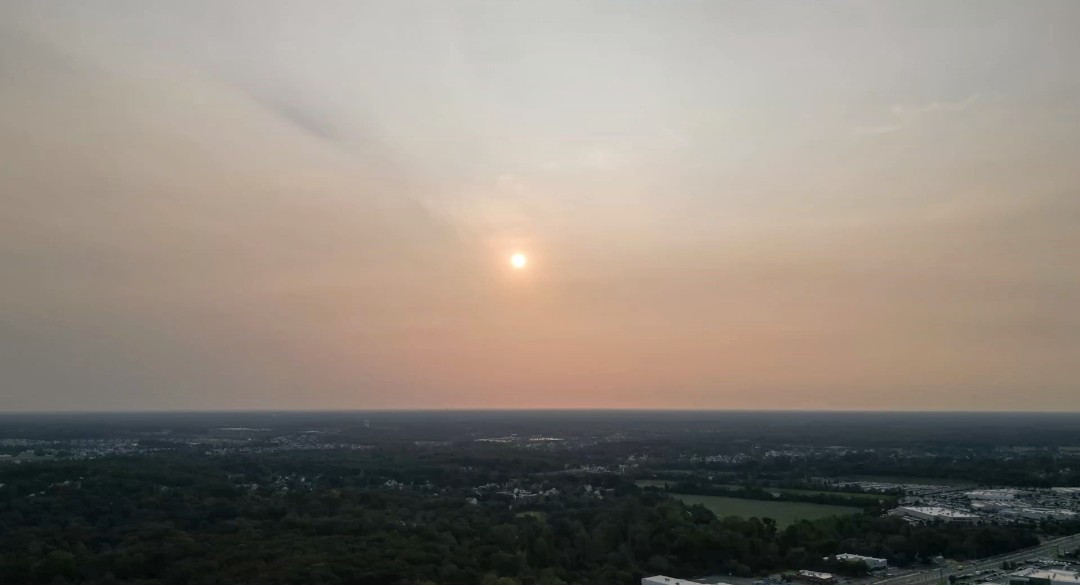
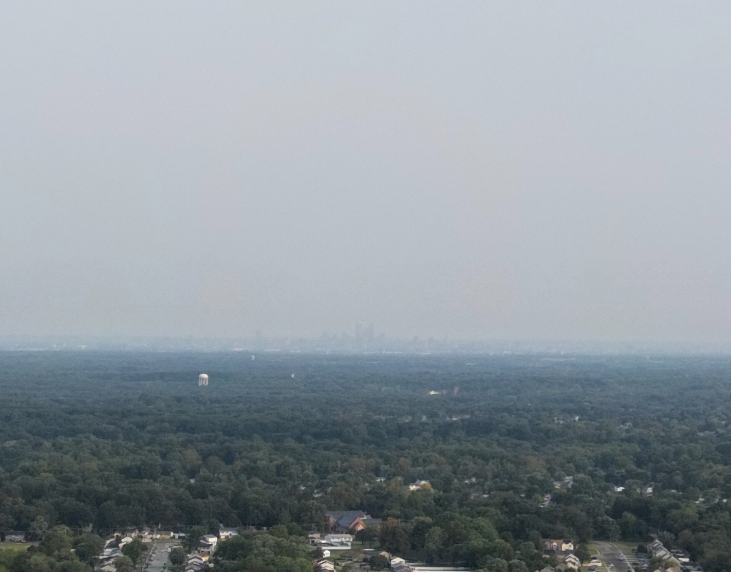
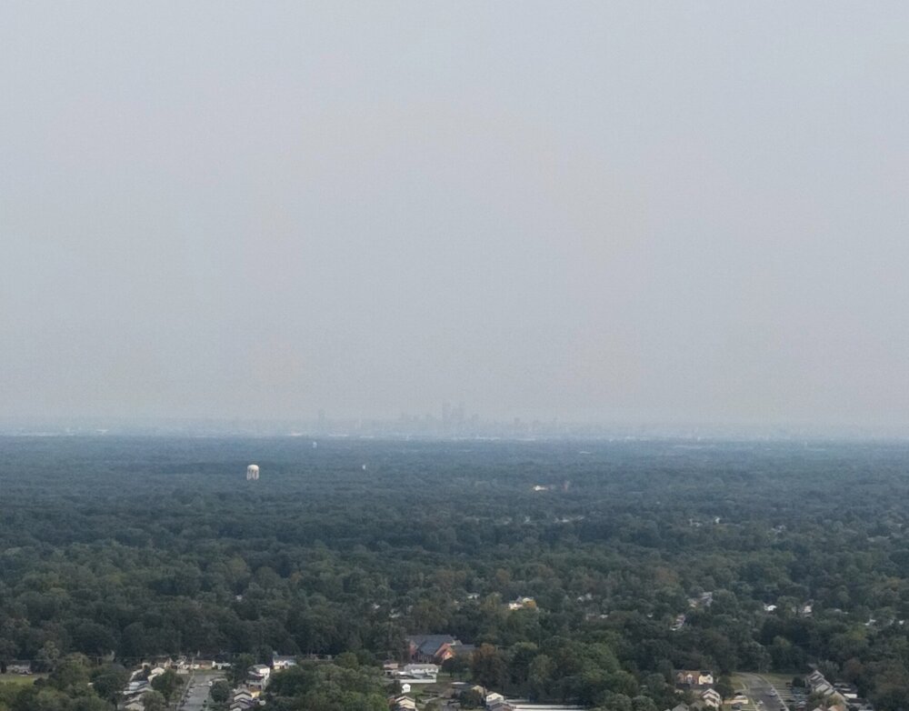
Smoky and hazy out there this morning. Hard to see the skyline. 72.7F with a 68 dew.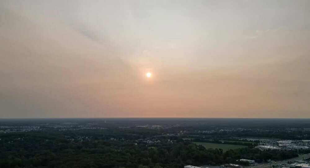
-

September 2025 OBS-Discussion centered NYC subforum
wdrag replied to wdrag's topic in New York City Metro
No thread from myself: Looks good for 1-3" I95 corridor iso 4. Few SVR 2P-8P. This welcomed rain will be a little further east than Friday. Rain ends W-E Sunday. -
JB2 is losing trust in traditional models so is going with the weenie model
-
Saturday 9/6 Strong/Severe storm potential
Damage In Tolland replied to Torch Tiger's topic in New England
3K NAM vs HRRR. Hope NAM is right -
I went to visit my son at ETSU today. Amazing that the trees are already changing in this area. I believe an early fall is on tap. Looks like we finally got some good rains in middle TN. Hopefully this is the beginning of the drought being eroded away for middle & hopefully west TN.
-
Have an outdoor wedding to attend this evening in Baltimore. Woo storms?
-
I want hard , fast dongs galore.
-
Dews around 70 make for an amazing Saturday.
-
Models don't see that enthusiastic about rain today. I hope what does fall, falls where it's needed and not here again. Stephen City can have my rain.
-
E PA/NJ/DE Autumn 2025 Obs/Discussion
BBasile replied to PhiEaglesfan712's topic in Philadelphia Region
Yes, looking forward to a little more action today... And the dew points that follow. -
Looks like decent rain chances tomorrow too.
-
Then again hrrr likes north it seems