All Activity
- Past hour
-
Clouds are coming for you guys
-
I haven't even turned the well on yet at my little farm spot. If it didn't rain this weekend I was going to turn it on. I had almost .40 yesterday and .03 today and it's raining as I type. I'm watching the radar to the SW. The lowlands might be in line for storms later.
-
Up to 0.8 in of rain from this morning and early afternoon just southeast of Gainesville. It has been very nice not having to water the plants much this year.
-
maybe I just enjoy it because I mostly stay in Orlando and visit parks. BTW today is perfect up here I wish this would last the rest of the Summer.. its so comfortable out
-
I'm in southeast St. Petersburg right on the bay. You have ass crack sweat just trying to walk at night. I've never longed for a desert climate (so long as it's not far south) as much as I have the last 10 days.
-
Yes, 100% visible. Especially as it moved off to my North East.
- 961 replies
-
- 3
-

-
- severe
- thunderstorms
- (and 2 more)
-

2025-2026 ENSO
TheClimateChanger replied to 40/70 Benchmark's topic in Weather Forecasting and Discussion
Not accurate. The high was 102F at the Weather Bureau office at the Battery on that date. The monthly mean was a comfortable 74.9F. The 106F was observed at the Park, which, as suggested, would have been secondary to the Weather Bureau office. -
Mesoscale Discussion 1197 NWS Storm Prediction Center Norman OK 1204 PM CDT Sun Jun 08 2025 Areas affected...portions of VA/MD Concerning...Severe potential...Watch possible Valid 081704Z - 081830Z Probability of Watch Issuance...60 percent SUMMARY...Isolated to widely scattered strong/severe storms are possible through the afternoon. Damaging gusts will be the main hazard but a tornado and sporadic hail also are possible. DISCUSSION...Isolated convection is develop early this afternoon in a weakly unstable airmass in the vicinity of an effective warm front draped across northern VA toward coastal MD. As additional heating occurs over the Blue Ridge, thunderstorm coverage should increase and storms will move across the Piedmont and Chesapeake Bay vicinity through the afternoon. Overall instability and midlevel lapse rates will remain modest. However, effective shear around 30-40 kt will support organized cells. Where steeper low-level lapse rates develop amid stronger heating, strong/severe gusts will be possible. Low-level shear will be somewhat enhanced along the warm front, as is evident in the LWX VWP, which shows a mildly enlarged and favorably curved low-level hodograph. Rotating storms interacting with the warm front could pose a risk for a brief tornado or two. The area is being evaluated for possible watch issuance. ..Leitman/Guyer.. 06/08/2025 ...Please see www.spc.noaa.gov for graphic product... ATTN...WFO...PHI...AKQ...LWX...RNK... LAT...LON 38987851 39297781 39267736 39157695 38847623 38407580 37587544 36967538 36607571 36577610 36557726 36777834 37207889 38027910 38577893 38987851 MOST PROBABLE PEAK TORNADO INTENSITY...85-115 MPH MOST PROBABLE PEAK WIND GUST...55-70 MPH MOST PROBABLE PEAK HAIL SIZE...1.00-1.75 IN
- 961 replies
-
- 1
-
-
- severe
- thunderstorms
- (and 2 more)
-
Was any rotation, or rising motion visible?
-
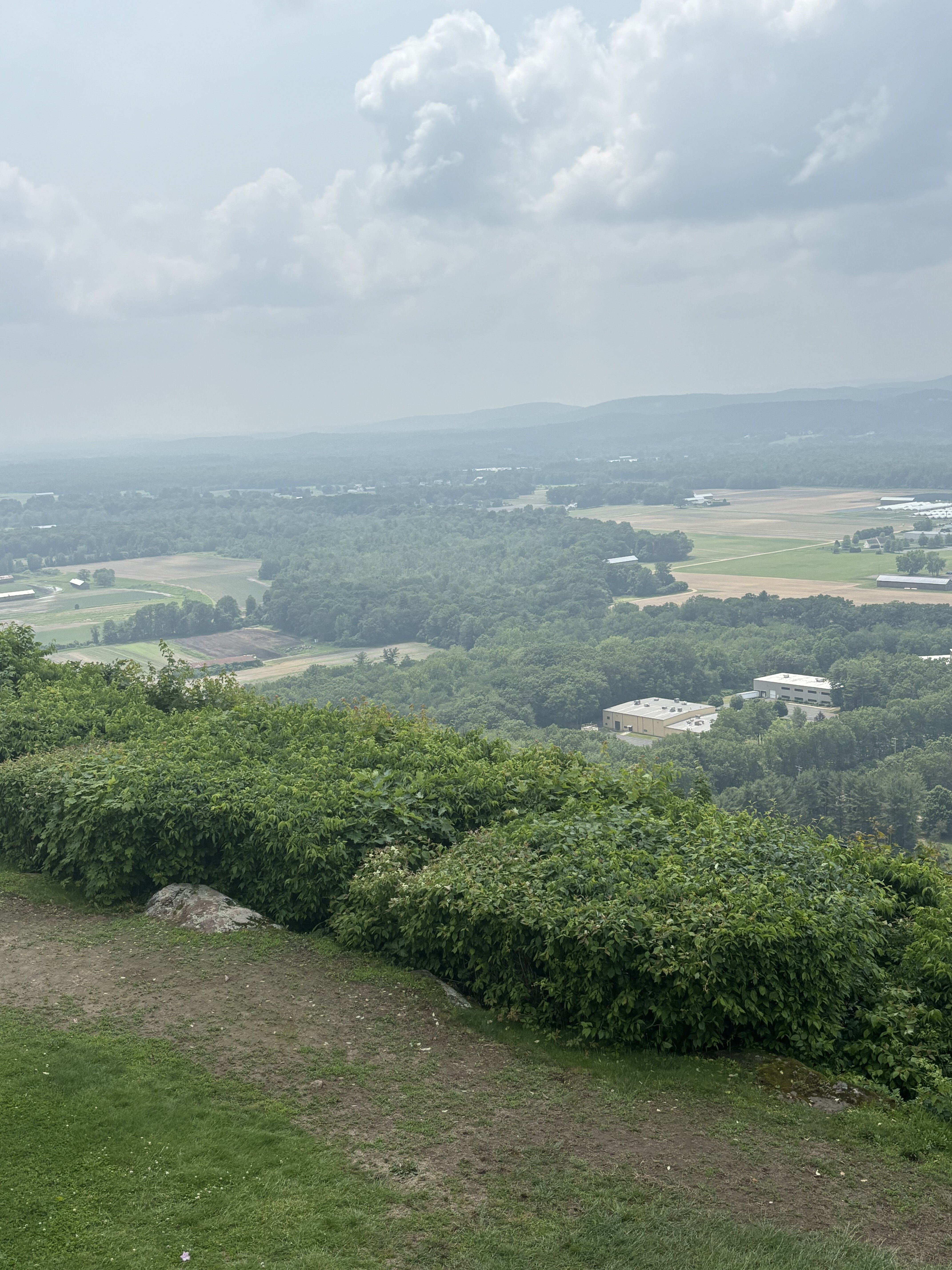
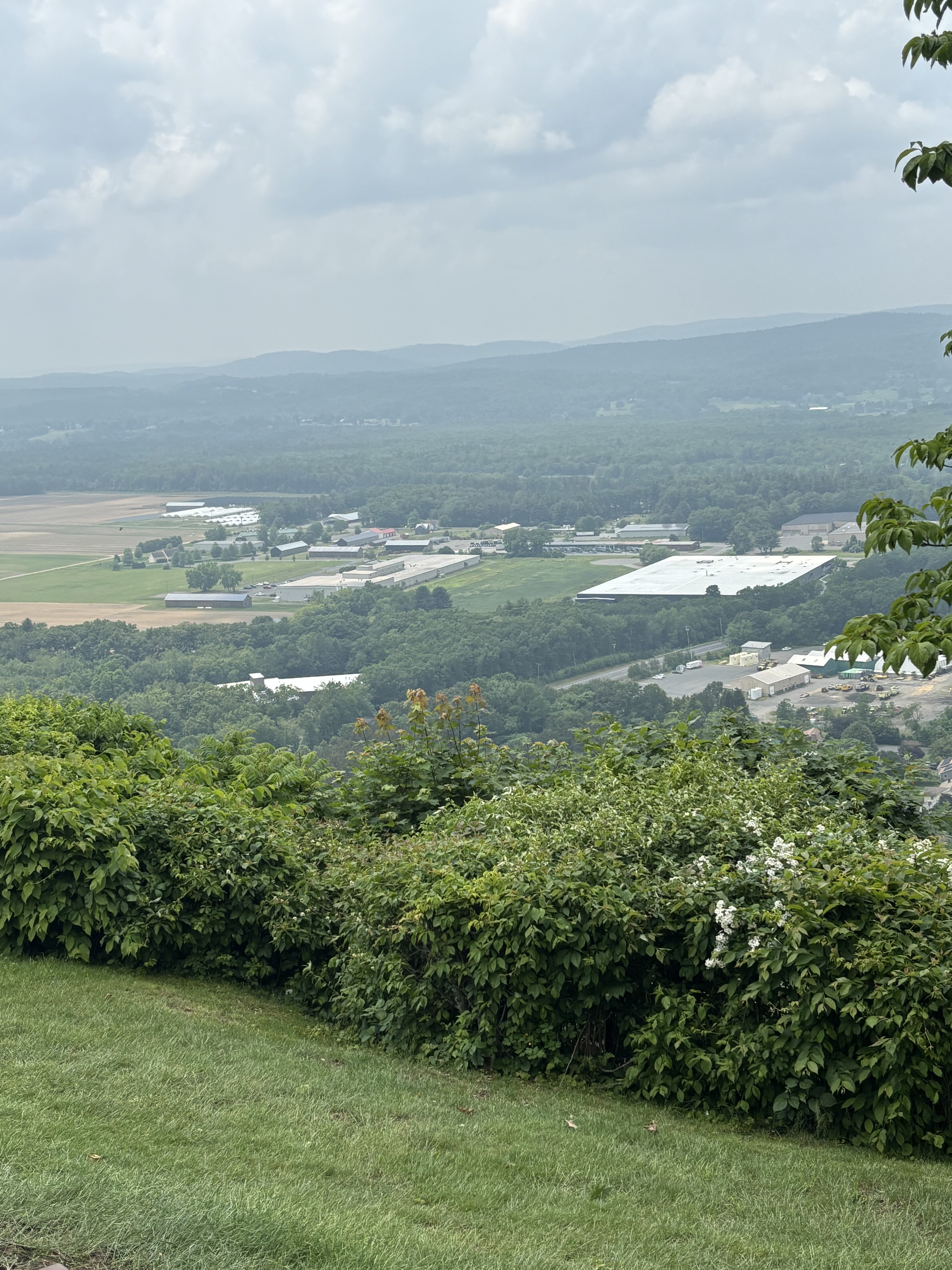
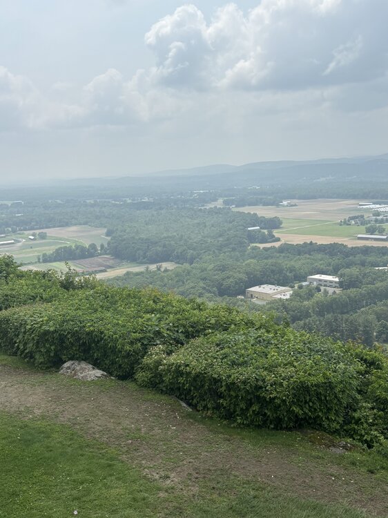
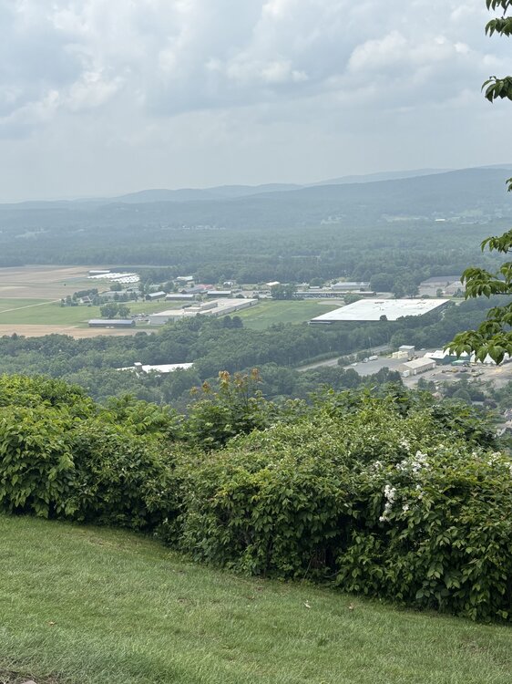
Smoky/hazy from Sugarloaf
-

June 2025 discussion-obs: Summerlike
WestBabylonWeather replied to wdrag's topic in New York City Metro
Nice and sunny at the deer park outlets -
MCD up... 60% chance of Watch
-
Decent is subjective, but there is rotation
- 961 replies
-
- 1
-
-
- severe
- thunderstorms
- (and 2 more)
-
In case the smoke wasn't thick enough by itself, the white pines decided this was the day to unleash the pollen clouds. Just ridiculous looking outside.
-
Looks like decent rotation west of Stafford on Radarscope
-
Decent amount of rain pushing through. Starting to get brighter as we get to the backside. Was actually surprised it did not get torn up by the mountains.
-
my brother lives in Lakeland.. I would hate it lol ill visit anytime of year though
-
The velocity signature showed up right over my house, but everything was, and still is very calm.
-
Special Marine Warning National Weather Service Baltimore MD/Washington DC 1247 PM EDT Sun Jun 8 2025 The National Weather Service in Sterling Virginia has issued a * Special Marine Warning for... Tidal Potomac from Indian Head to Cobb Island MD... * Until 215 PM EDT. * At 1247 PM EDT, a severe thunderstorm capable of producing waterspouts was located 8 nm west of Aquia Creek, moving northeast at 15 knots.
- Today
-
Very confused
-
BULLETIN - EAS ACTIVATION REQUESTED Tornado Warning National Weather Service Baltimore MD/Washington DC 1245 PM EDT Sun Jun 8 2025 The National Weather Service in Sterling Virginia has issued a * Tornado Warning for... Central Stafford County in northern Virginia... * Until 115 PM EDT. * At 1245 PM EDT, a severe thunderstorm capable of producing a tornado was located near Stafford, moving northeast at 25 mph. HAZARD...Tornado. SOURCE...Radar indicated rotation. IMPACT...For those in the direct path of a tornado touchdown, flying debris will be dangerous to those caught without shelter. Damage to roofs, siding, and windows may occur. Mobile homes may be damaged or destroyed. Tree damage is likely. * This dangerous storm will be near... Stafford around 1250 PM EDT. Other locations impacted by this tornadic thunderstorm include Ramoth, Widewater, Aquia, Roseville, Glendie, Garrisonville, Arkendale, Ruby, and Cherry Hill. PRECAUTIONARY/PREPAREDNESS ACTIONS... TAKE COVER NOW! Move to a basement or an interior room on the lowest floor of a sturdy building. Avoid windows. If you are outdoors, in a mobile home, or in a vehicle, move to the closest substantial shelter and protect yourself from flying debris. && LAT...LON 3843 7758 3858 7745 3852 7737 3850 7730 3855 7728 3856 7726 3858 7726 3859 7725 3856 7724 3856 7722 3855 7724 3849 7728 3847 7728 3848 7727 3845 7728 3845 7726 3837 7754 TIME...MOT...LOC 1645Z 233DEG 20KT 3843 7752 TORNADO...RADAR INDICATED MAX HAIL SIZE...0.00 IN
-
Tornado Warning for Stafford VA
-
It's too hot the sun is too strong here even in January. Dews creep up to 77 or so at night here by Tampa Bay. Idk, I don't get the appeal of living here. It's fine to visit in winter or late fall early spring but other than that? No thanks.
-
Tornado Warning Stafford county
-
Get storms at least down there too. Yeah I’ve been there several times in the summer and it doesn’t bother me too much.