All Activity
- Past hour
-
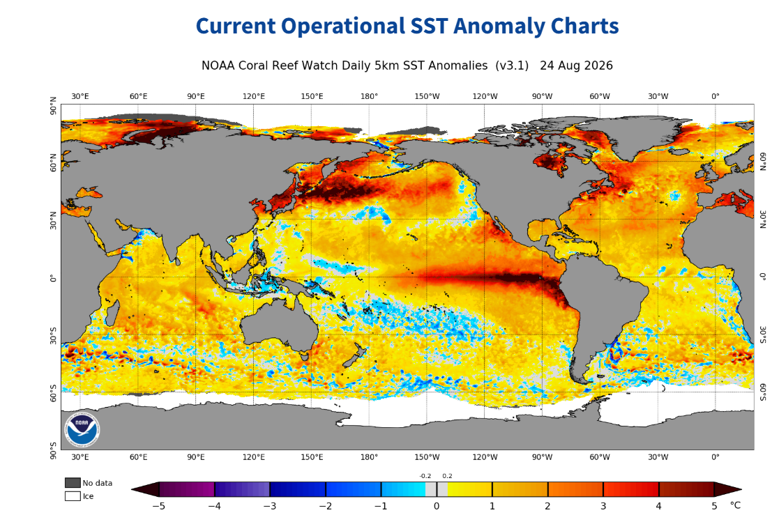
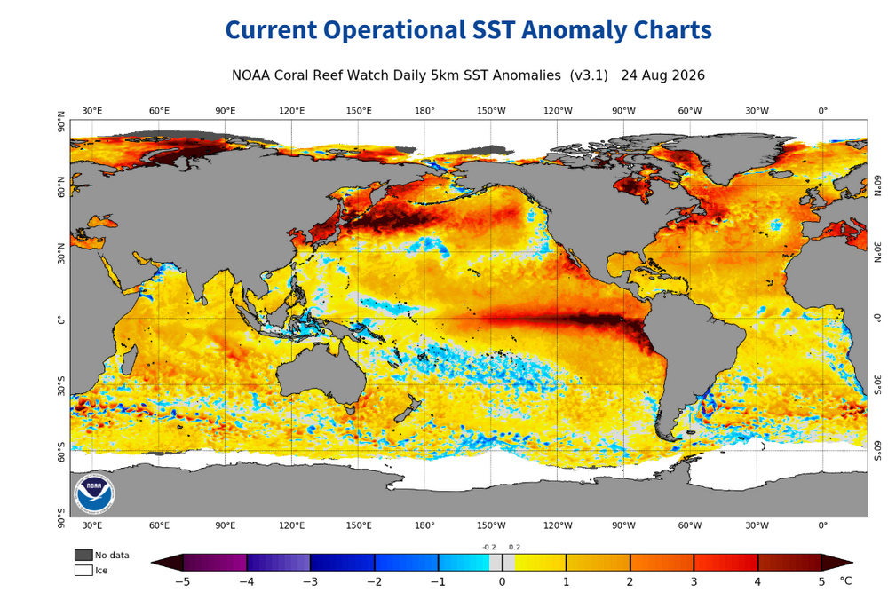
PDO next update shouldnt change much with a typhoon headed into east China the next couple days.Maybe this winter will have its own analogs,but i wouldn't rely on a +PDO,probably wont happen ATM,thats rare in a strong NINO those SSTS east of Japan,lets go skiing in West Japan this winter?Very unique pattern regardlrdd.
-

Augdewst 2026: Summer's Last Stand
ineedsnow replied to Prismshine Productions's topic in New England
click around here and you can find the 1,000 ensemble run https://polarwx.com/tropical/#al962026/super also weathernerds.org is good -

2026-2027 Record-breaking El Nino
ensonerd1233e343 replied to Stormchaserchuck1's topic in Weather Forecasting and Discussion
still record breaking -
Kev... What site do you view Google Deep Mind tropical graphic?
-
2026-2027 Record-breaking El Nino
ensonerd1233e343 replied to Stormchaserchuck1's topic in Weather Forecasting and Discussion
Mine are 3.3-3.5 oni 2.4-2.6 roni so we agree for roni i just think the tropics will be warmer so the gap between roni and oni will be bigger -
2026-2027 Record-breaking El Nino
ensonerd1233e343 replied to Stormchaserchuck1's topic in Weather Forecasting and Discussion
I would say three years of la nina are likely -
2026-2027 Record-breaking El Nino
ensonerd1233e343 replied to Stormchaserchuck1's topic in Weather Forecasting and Discussion
I dont think it really is and either way the odds of el nino not coupling to the n pac during northen winter are near zero so imo the point is moot -
 https://northtrustpharm.com/# NorthTrust Pharm
 -
Dolly was the epitome of decency and class… she will be truly missed…
-
2026-2027 Record-breaking El Nino
ensonerd1233e343 replied to Stormchaserchuck1's topic in Weather Forecasting and Discussion
insignifcat -
2026-2027 Record-breaking El Nino
ensonerd1233e343 replied to Stormchaserchuck1's topic in Weather Forecasting and Discussion
link to site? -

Augdewst 2026: Summer's Last Stand
CoastalWx replied to Prismshine Productions's topic in New England
Thankfully that won’t happen again. -

Augdewst 2026: Summer's Last Stand
powderfreak replied to Prismshine Productions's topic in New England
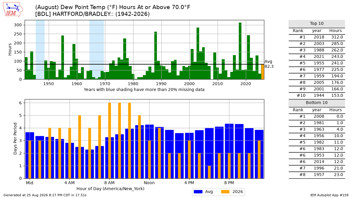
2008 had 0 hours of dews above 70F in August? Yore. -

Augdewst 2026: Summer's Last Stand
dendrite replied to Prismshine Productions's topic in New England
Middle of the road dews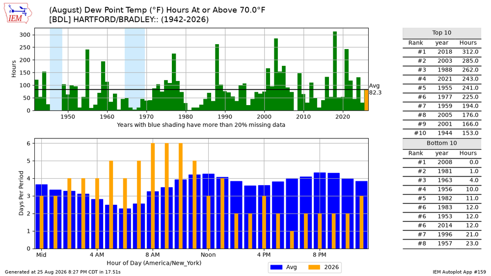
-
Sheesh some people will believe anything . ""We have a 290-, I think 300-foot slit right through, probably a box cutter or a knife of some kind."
- Today
-
 It looks maybe for the time of year we will come close to the highest RONI number but overall 1982/83 takes the cake when it happened in December.
 -
Yea the dynamic models tend to always overdo things but with how quickly the evolution was that made sense. I have always felt statistical was the better suite as dynamic models tend to keep with how things are going at the present time moving forward which is really hard to do. The answer usually lies just above statistical model suite line. Seeing as though there are some lessening of the overall push within the last 2 weeks and some more to come I would say we coast at this point. We will come close to the overall daily peak we saw in 2015 with a near 3C but trimonthly should end up around roughly 2.5-2.7 range when all is said and done, unless we have another surprise. Given that, RONI trimonthly may end up a bit lower than 2.5 on the trimonthly more so closer to 2.2-2.3 from the perspective of NOAA calculations. Now lets see if we can get the atmosphere to represent that of a super Nino coming up this fall. There definitely seem to be limitations to overall intensity even in a warming climate, maybe if the PDO was not fighting back we could have reached those upper thresholds.
-
Going to have to reach out to @katabatic and you about joining sometime this winter. Would love to catch some LES love. @WxWatcher007 and I have wanted to chase up there, and around Michigan too. Would be a ton of fun and not a whole lot of sleep lol
-

Augdewst 2026: Summer's Last Stand
Damage In Tolland replied to Prismshine Productions's topic in New England
Thank you for providing some reality here . Furnaced , dewst month -

Augdewst 2026: Summer's Last Stand
Weather_or_Not replied to Prismshine Productions's topic in New England
Folks, it’s been a very warm and muggy month. It’s a dog fight to get under the 60 dew point mark, and when we do, we get gaslit by Louisianans that 59 dew point is crisp, chamber of commerce weather, when in reality, the AC units continue to hum away. -
Could have a couple of naders tomorrow if any supercells form
-

Augdewst 2026: Summer's Last Stand
Typhoon Tip replied to Prismshine Productions's topic in New England
That’s the first ‘hot’ run of the GFS I’ve seen in weeks -
At least here most of the real heat was early-it's been decent outside the rainstorms since mid July for the most part.
-
Eh not sure about that. You ain't getting 60-70 ft on the Tug though.
-
Worcester was - 3.4 if the average stayed the same from yesterday. Yeah yeah I know in 1950 it would have been... .