All Activity
- Past hour
-

11/8-11/10 First Snow and Lake Effect Event
King James replied to Geoboy645's topic in Lakes/Ohio Valley
I win? -

11/8-11/10 First Snow and Lake Effect Event
Chicago WX replied to Geoboy645's topic in Lakes/Ohio Valley
Totally different set up, but the result kinda reminds me of this one, Feb 24, 2016. RC has fond memories. https://www.weather.gov/lot/2016feb24_snow -
11/8-11/10 First Snow and Lake Effect Event
King James replied to Geoboy645's topic in Lakes/Ohio Valley
Momence IL .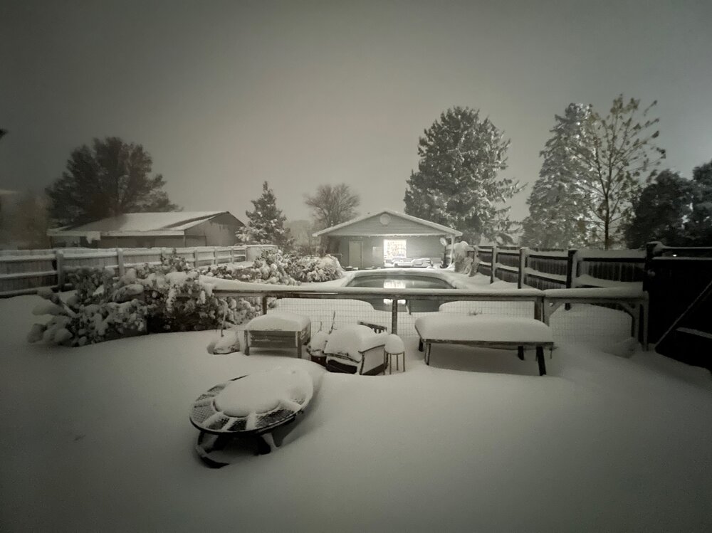
-

11/8-11/10 First Snow and Lake Effect Event
KeenerWx replied to Geoboy645's topic in Lakes/Ohio Valley
Yeah. Lowell in Lake County (IN) has reported 10” and the best returns seemed to have been slotted west of them towards the Momence area. Wild event nonetheless. Even with the localized totals, quite a spread the wealth scenario across the southern Lake Michigan region. Now up to 5” overnight with event total at 7.1”. Seem to be about finished at this point. We’ll see what else the lake will provide as the primary moves back east over the next few hours. -
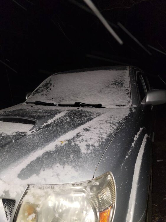
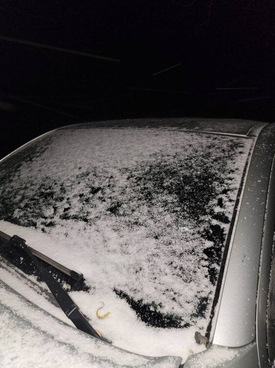
Temp down to 23 and snow still coming down. Sent from my SM-G998U using Tapatalk
-
11/8-11/10 First Snow and Lake Effect Event
King James replied to Geoboy645's topic in Lakes/Ohio Valley
Yeah we got smoked lol -
Ouch.
-
11/8-11/10 First Snow and Lake Effect Event
Chicago WX replied to Geoboy645's topic in Lakes/Ohio Valley
Measured 3.5" at 4:00 am. Still snowing, but fairly light. Just to put the put the Momence total in context, they're 13 miles to the east of IKK. Will be some varying storm totals from west to east in the county, to say the least. -
In other news, the -IOD definitely peaked last week as expected by BOM (almost -2) and is starting to bump up again….ended up being strongest negative event since the fall of 1996. And it seems we have westward moving ER waves from the La Niña interfering with the MJO’s eastward propagation
-

November 2025 general discussions and probable topic derailings ...
Modfan2 replied to Typhoon Tip's topic in New England
54F and balmy this am, that will not be the case tomorrow at this time. A week of colder temps then back to seasonal like temps next week. -
11/8-11/10 First Snow and Lake Effect Event
KeenerWx replied to Geoboy645's topic in Lakes/Ohio Valley
What have you grabbed so far? -
11/8-11/10 First Snow and Lake Effect Event
Chicago WX replied to Geoboy645's topic in Lakes/Ohio Valley
Wow, awesome. This one just missed MBY. I mean I'll take what I got, but a foot... -
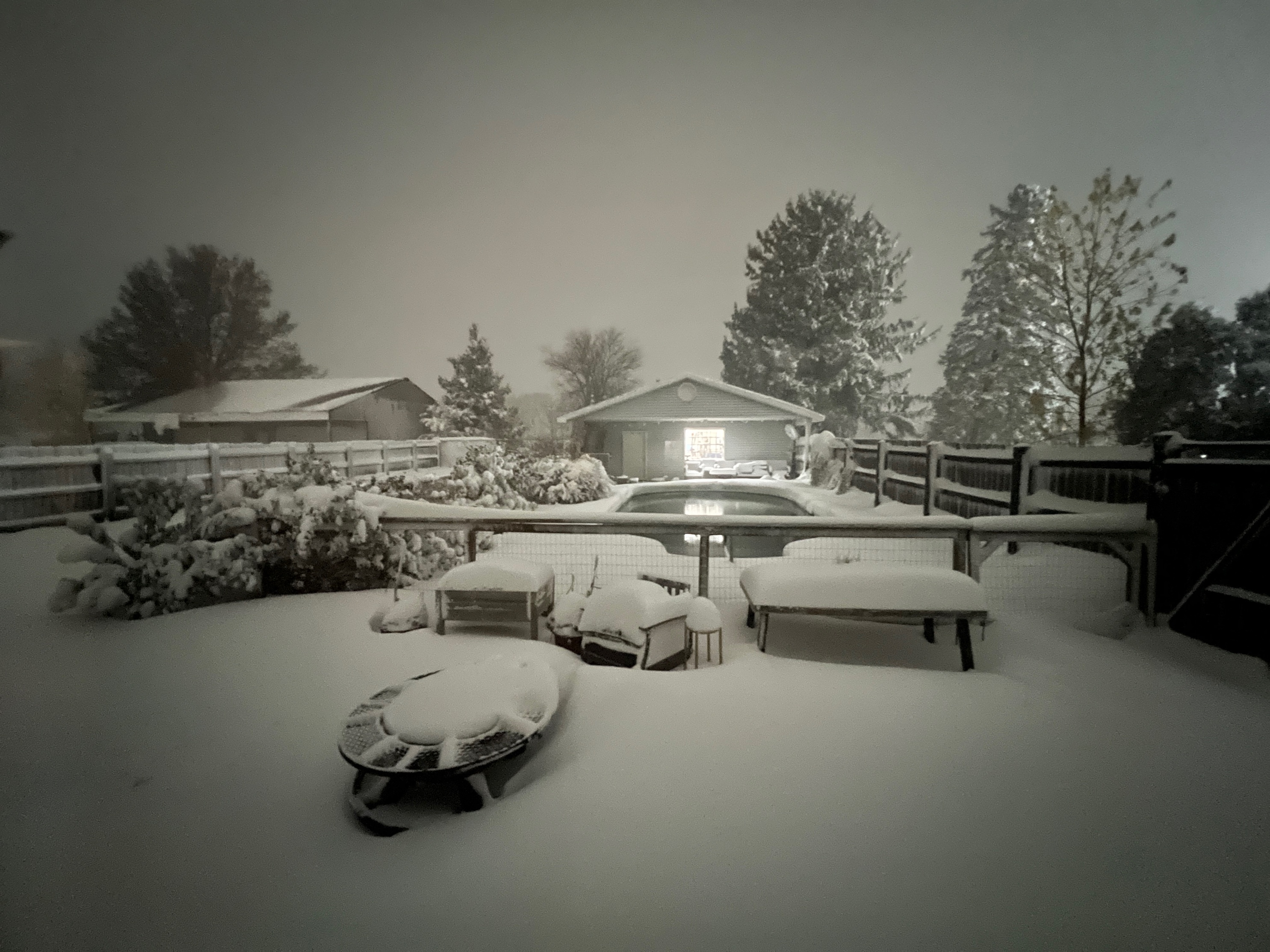
First snow pic. Sent from my SM-G998U using Tapatalk
-
11/8-11/10 First Snow and Lake Effect Event
KeenerWx replied to Geoboy645's topic in Lakes/Ohio Valley
Hot damn. Report of 12” from Momence in Kankakee County. Not surprising giving radar presentation. Still going. At this point basically sealed as an all time lake event for them. -

11/8-11/10 First Snow and Lake Effect Event
TheNiño replied to Geoboy645's topic in Lakes/Ohio Valley
We’ll see what the official totals are but it’s not done yet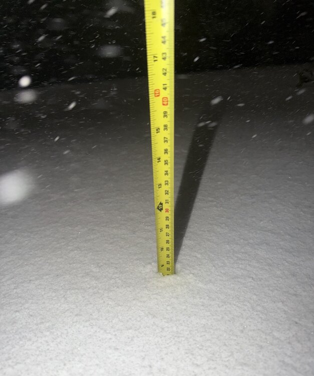
-
Ut oh! Permanent, non-stop massive Greenland blocking from December 1st until March 31st!! 1995-96, 2010-11 redux! Lol
-

2025-2026 Fall/Winter Mountain Thread
Sw NC weather replied to Buckethead's topic in Southeastern States
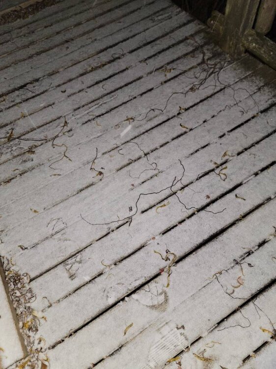
Light to moderate snow at the moment and a light dusting already. Really wasn’t expecting much more than flurries before this evening so this is a early win in the event for me on this part. -
Temp of 24 with moderate snow and a dusting on everything.
-

November 2025 general discussions and probable topic derailings ...
CoastalWx replied to Typhoon Tip's topic in New England
Kind of meh AWT. Saw a 12” report near IL/IN border well south but nothing impressive by the city. -

11/8-11/10 First Snow and Lake Effect Event
A-L-E-K replied to Geoboy645's topic in Lakes/Ohio Valley
Dab+ lol -
11/8-11/10 First Snow and Lake Effect Event
KeenerWx replied to Geoboy645's topic in Lakes/Ohio Valley
Pessimism got the best of me. Ended up adding another 3.5” tonight. With last night’s 1.8” and an additional 0.3” in the morning, event total is up to 5.6”. Depth ~ 4.9” with the melt earlier today. Bottom inch or so is quite iced. Tonight reminded me more of deep winter rather than early to mid November. Between the meso swinging south and the dominate band shifting back east through Monday, it’s feasible to pick up another inch. Locally “historic”. Will surpass the 2004 Thanksgiving storm totals at least. Perhaps most interesting tonight is that we had steady to heavy snow even without much or any radar presentation. Nothing too crazy but ~ 1” per hour based on measurement. Can’t imagine what it was like under the heavy returns. -
11/8-11/10 First Snow and Lake Effect Event
Chicago WX replied to Geoboy645's topic in Lakes/Ohio Valley
3.5" here at 4:00 am. Looking at radar since this started, the eastern half of the county (east of IKK) will do best. But yeah, only a handful of "pure" LES events that dropped 3"+ here, that I can recall. Last one was in the winter of 2013-14 (Jan 21-22). -
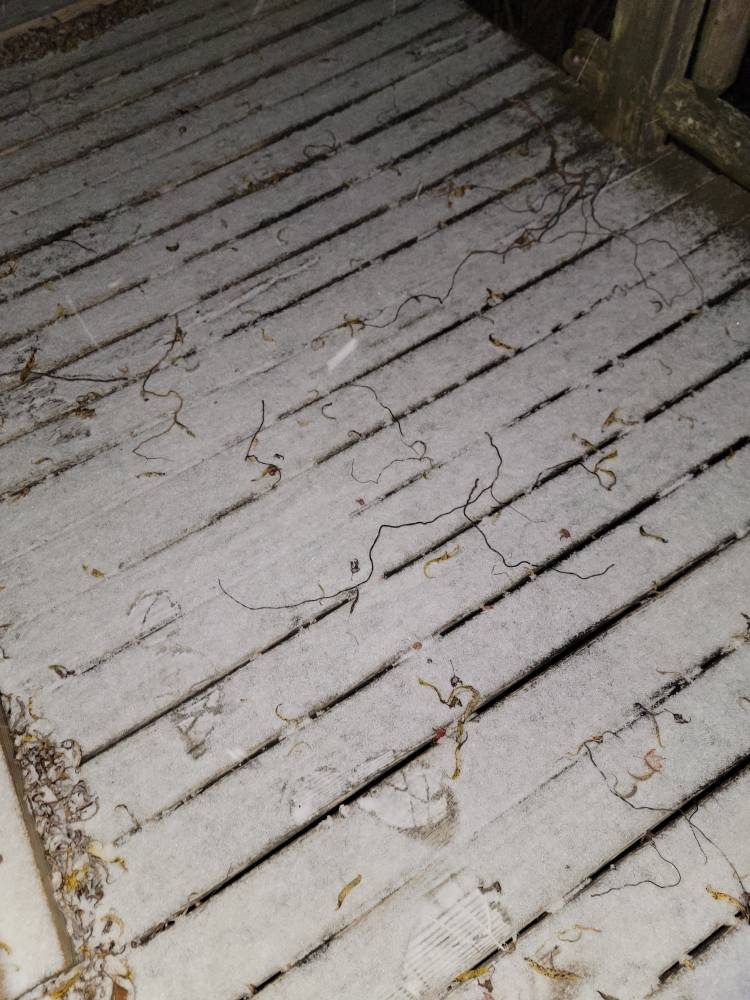
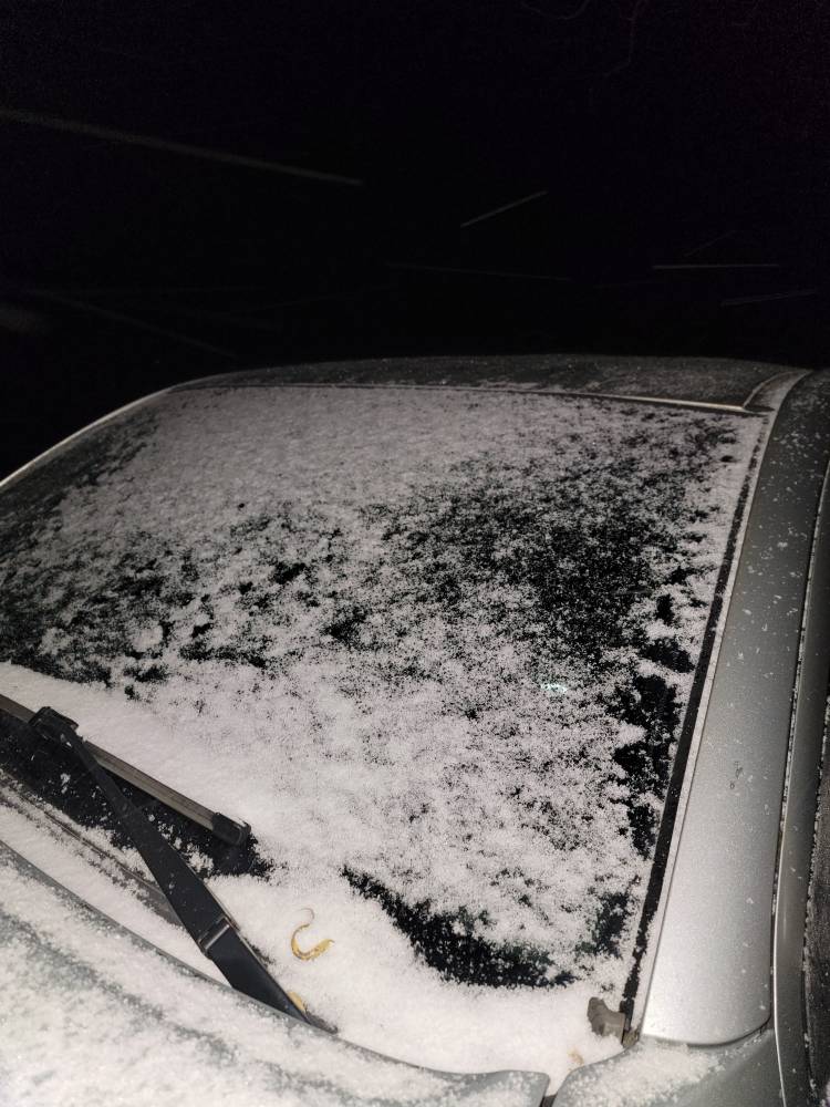
Hi of 56 yesterday. Currently 28 and light snow first of the season.
- Today
-
Came home from a concert in Pikeville KY on the newly opened stretch of the Coalfields Expressway around midnight. Once I crossed over into the VA side the snow was heavy with poor visibility near Breaks Interstate Park. There is a solid dusting on the ground right now. It will be interesting to see if we pick up anymore later.
-
1.2" for the day Had a tenth in the morning and the rest was from the storm last night.


.thumb.JPG.418e8a9a2902ae687ec35ff4bc0e038e.JPG)