All Activity
- Past hour
-

July 2025 Discussion-OBS - seasonable summer variability
LibertyBell replied to wdrag's topic in New York City Metro
I thought it was supposed to be mostly sunny today -
July 2025 Discussion-OBS - seasonable summer variability
LibertyBell replied to wdrag's topic in New York City Metro
Chris, we had a late high of 90 here at 4:04 pm yesterday also under partly cloudy skies. And then we had an unexpected heavy rain shower around 9 pm last night, a frontal passage? -
July 2025 Discussion-OBS - seasonable summer variability
LibertyBell replied to wdrag's topic in New York City Metro
Nw Bnswck: 102 (1980) Lows: EWR: 56 (1944) NYC: 58 (1890) LGA: 62 (1956) JFK: 59 (1966) New Bnswck: 51 (1944) Nice to see a record from 1980, I assume, NYC's record before 2011 was from 1980 on this date? Note how 1944, 1966, two of our previous hottest summers, were on a cool break on this date. -

July 2025 Obs/Disco ... possible historic month for heat
Chrisrotary12 replied to Typhoon Tip's topic in New England
It’s not a cold look, but not sure it’s overly dewy. -
July 2025 Discussion-OBS - seasonable summer variability
LibertyBell replied to wdrag's topic in New York City Metro
and to think on this day in 2011 we had one of our all time hottest days ever. -
July 2025 Discussion-OBS - seasonable summer variability
LibertyBell replied to wdrag's topic in New York City Metro
1993: The levee, holding back the flooding Mississippi River at Kaskaskia, Illinois, ruptures, forcing the town's people to flee on barges. The incident at Kaskaskia was the most dramatic event of the flood. At 9:48 a.m., the levee broke, leaving the people of Kaskaskia with no escape route other than two Army Corp of Engineers barges. By 2 p.m., the entire town was underwater. a historic summer in so many ways 2011: A low of 82 degrees Fahrenheit on the 22nd at Norfolk tied for the second highest minimum temperature ever recorded there. Also the highest temperature for 2011 was 103 °F at Norfolk and 102°F at Richmond both on July, 22nd. (Ref.NWS, Wakefield, Virginia - A Near Record High Minimum Temperature for Norfork) one of our hottest days on record! Highs: EWR: 108 (2011) NYC: 104 (2011) LGA: 104 (2011) JFK: 103 (2011) -

2025-2026 ENSO
michsnowfreak replied to 40/70 Benchmark's topic in Weather Forecasting and Discussion
It was a nice cool morning for this time of year. Detroit got down to 56F but Ann Arbor hit 46F. So Detroit was closer to a record low this morning (49F) than they will be to a record high Thursday (105F). Why do I bring that up? I saw a post last night (not here) that the "extreme high temps" Thursday have happened before but are more likely in todays climate. I mean, really? You want to talk about something, talk about the oppressive humidity, which would already have been bad enough but will get a boost in the midwest from peak "corn sweat" season. But a forecast high of 93F on July 24th is news? For comparison, Detroit has hit 95F or higher 315 times since records began in 1874. (yes, I know itll be worse to my south as it usually is, but again, Im concerned about my temps, not elsewhere lol). -
Missed most of the rain yesterday just 0.04”. The front today has been quite pleasant after some early morning showers that didn’t amount to much but our temp has actually stayed steady near 79 degrees and dew point has finally dipped below 70 with a steady NE breeze
-

July 2025 Obs/Disco ... possible historic month for heat
Sn0waddict replied to Typhoon Tip's topic in New England
Is there even such a thing as a growing season in the Sarnac Lake area? Lol -
July 2025 Discussion-OBS - seasonable summer variability
LibertyBell replied to wdrag's topic in New York City Metro
This is actually how summer is supposed to be, some extremely hot days and some below normal cooler days. Also note that Central Park has no triple digit highs at all between July 24 and July 30, this Friday is a chance to break that. -
July 2025 Discussion-OBS - seasonable summer variability
LibertyBell replied to wdrag's topic in New York City Metro
Friday is our hottest day and a chance of 100 even at the coast, Saturday still very hot but probably slightly *cooler* -

July 2025 Obs/Disco ... possible historic month for heat
kdxken replied to Typhoon Tip's topic in New England
And some say we don't get air masses like that anymore lolz... -
Got down to 55 this morning. I saw a few GaCo obs in the 40s; was hoping to see that, but regardless, spectacular day today.
-
July 2025 Obs/Disco ... possible historic month for heat
kdxken replied to Typhoon Tip's topic in New England
Rayleigh scattering up the Ying Yang! Got to be a top fiverr. Best?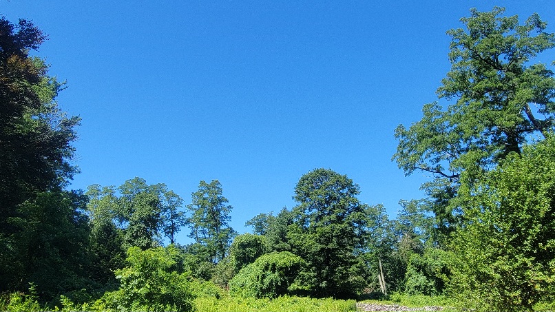
-

July 2025 Discussion-OBS - seasonable summer variability
TheClimateChanger replied to wdrag's topic in New York City Metro
With that said, I did note a stunning reversal from the high heat and humidity with Saranac Lake plunging all the way to 34F this morning. That reading ties the daily record low set in 1914. The all-time record July monthly record low in the Saranac Lake threaded record is 29F, set on July 8, 1919. At the airport site, the all-time monthly record low is 32F, which has been set on more than one day, last on July 28, 2001. The all-time observed record low for the month of July in the state of New York is 25F, which was set at Allegany State Park, in Cattaragus County, on July 8, 1963. -
Yeah, I am thinking that both could be related. Since the WPAC has been rapidly warming under that expanding subtropical ridge building into the mid-latitudes. On the Atlantic side it has been causing the -AOs and -NAOs to link with the Southeast Ridge. So it’s been muting the influence of the recent -EPOs, +PNAs, -WPOs, -NAOs, and -AOs. It causes storms to cut or hug instead of taking the traditional benchmark tracks. Leaves no room for trough development under the ridges. Since we just get a continuous ridge from the subtropics up into the Arctic.
-

July 2025 Discussion-OBS - seasonable summer variability
nycwinter replied to wdrag's topic in New York City Metro
how often mid to late july in nyc you get a gusty northeast wind from high pressure in eastern canada felt very refreshing.. -
From MU: Here’s a fun little stat: there have only been 3, 90-degree days at @millersvilleu so far this month. However, the high temp has reached 89F on an additional 8 days. One single degree is separating us from having 20, 90-degree days so far this season. Instead, there have been 12.
-
July 2025 Discussion-OBS - seasonable summer variability
TheClimateChanger replied to wdrag's topic in New York City Metro
Also, highly questionable to call the Bay Area likely lived through their coldest summer on record. That's true only if your dataset begins in 2000. Prior to that date, these look like fairly typical temperatures. We can see between 1946 & 1982 (a period of 37 years), there were 19 years as cold or colder than this one at the airport. So this year has actually been above the median summer temperature for the mid to late 20th century. This looks more like typical engagement farming, hype-driven nonsense than an observation predicated on historical data. It's literally just summer. San Francisco Airport San Francisco Downtown -
2025-2026 ENSO
michsnowfreak replied to 40/70 Benchmark's topic in Weather Forecasting and Discussion
I had 78.2". DTW in a mini "screwzone" with 71.7", if you can call the 4th snowiest winter a screwzone. -

2025-2026 ENSO
PhiEaglesfan712 replied to 40/70 Benchmark's topic in Weather Forecasting and Discussion
The most amazing thing about the winters of 2009-10 and 2010-11 is how that much snow fell in such a short window of time. The snow during those winters ended abruptly (although 2011 did have a small storm on President's Day and a last hurrah at the end of March). -
Absoutly glorious out watering the plants this morning. 76/61. The younger Ms. J was dropped off yesterday for a camp helper for pony camp. She hit the jackpot with this nicer weather. May even put the Catio out for the furballs.
-
July 2025 Discussion-OBS - seasonable summer variability
TheClimateChanger replied to wdrag's topic in New York City Metro
The trend doesn't lie. If anything, this is more like the typical conditions that would have been present when Mark Twain famously quipped that the coldest winter he had ever experienced was a summer in San Francisco. I am assuming the weird anomaly in the 1980s & 1990s is due to a defective HO-83 hygrothermometer installation? I know they had a lot of problems with those reading high. -

2025 Atlantic Hurricane Season
WxWatcher007 replied to BarryStantonGBP's topic in Tropical Headquarters
Looks like we’re going to be quiet for a while if we don’t get more homebrew off of a frontal boundary. -
July 2025 Obs/Disco ... possible historic month for heat
WxWatcher007 replied to Typhoon Tip's topic in New England
Low of 54.4° here at home (East Hartford) last night.

.thumb.JPG.418e8a9a2902ae687ec35ff4bc0e038e.JPG)


