All Activity
- Past hour
-
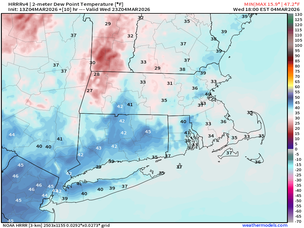
40s dews will do some damage. Especially with sun. I will say that mesos were hitting that cloudy spot in the CRV in MA/CT for days indicated by a cool spot in the afternoon on the 2m temp progs. I was curious to see what that was going to look like if it was real….well voila.
-
Snow at Logan, rain for Jerry?
-
21-22”
-
Cold
-
It’s 32 there on hrrr.
-
About 4” here. Pretty morning with a deep winter vibe. Looking forward to feeling 50+ today for the high! Yesterday before the snow started and then first thing this morning.

-
Loses its punch as it goes SW. just sort of borderline there.
-
Will be 28-30 here. H cubed is frigid
-
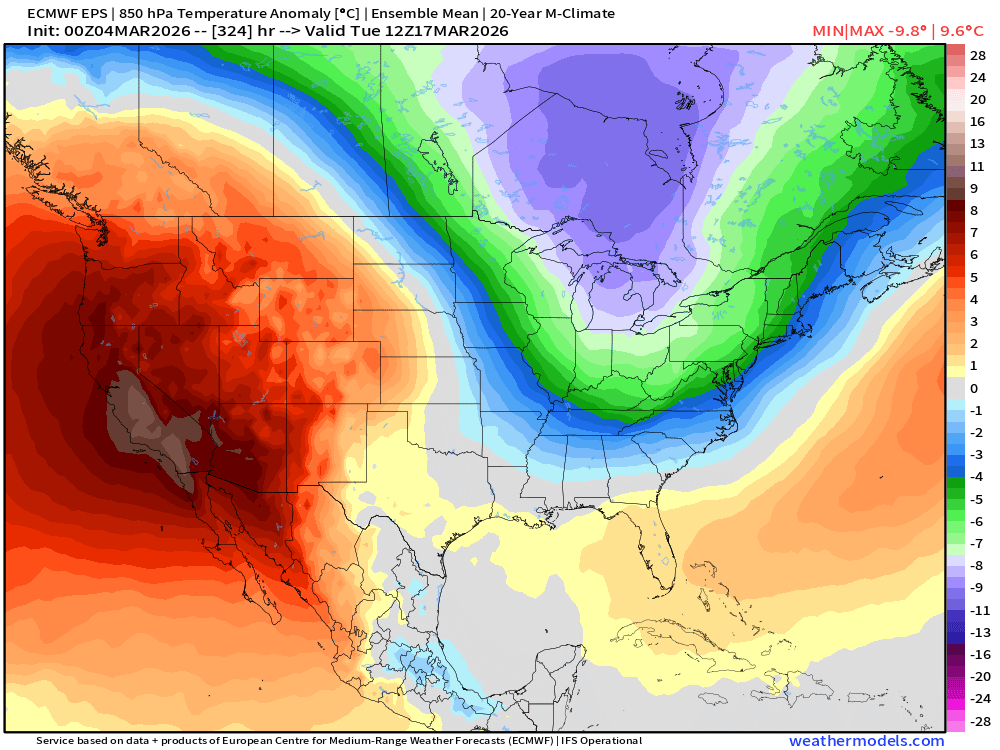
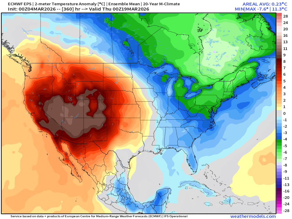
Yep- I see nothing boring about the upcoming pattern with a classic battleground developing between the extremes and an active storm track. Looks like a lot of potential for powerhouse spring systems in mid March
-
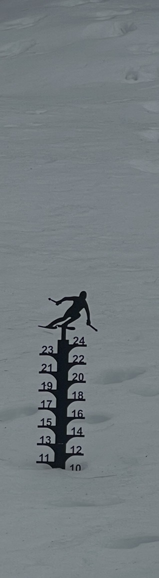
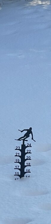
24-25" average. Little bit more in the shaded areas, little bit less in full sun. I think my biggest event this year was like 6-7" inches. It's pretty dense, just little events stacking on top of each other.
-
Idk I think this trends a bit colder.. lots of snow otg.. and a fresh cold drain from the NE.
-
I agree, but we ended up with 2 inches before the changeover in Westfield yesterday. Maybe I didn't pay attention, but i don't recall models showing that either
-
Fog gone some melting but with ice cover and only a few hours of AF dews won't be a melting Bonanza
-
Snowed 9 PM thru about 2:30 AM, nice fluffy 2.8" on 0.23" LE, 22" at the stake. Forecast had been 1-3. Bright sun already has cleaned most of the trees.
-

Central PA Spring 2026 Discussion/Obs Thread
Itstrainingtime replied to Voyager's topic in Upstate New York/Pennsylvania
Hey, hey, hey now! I finished with the exact same numbers of you. Who woulda thunk? -
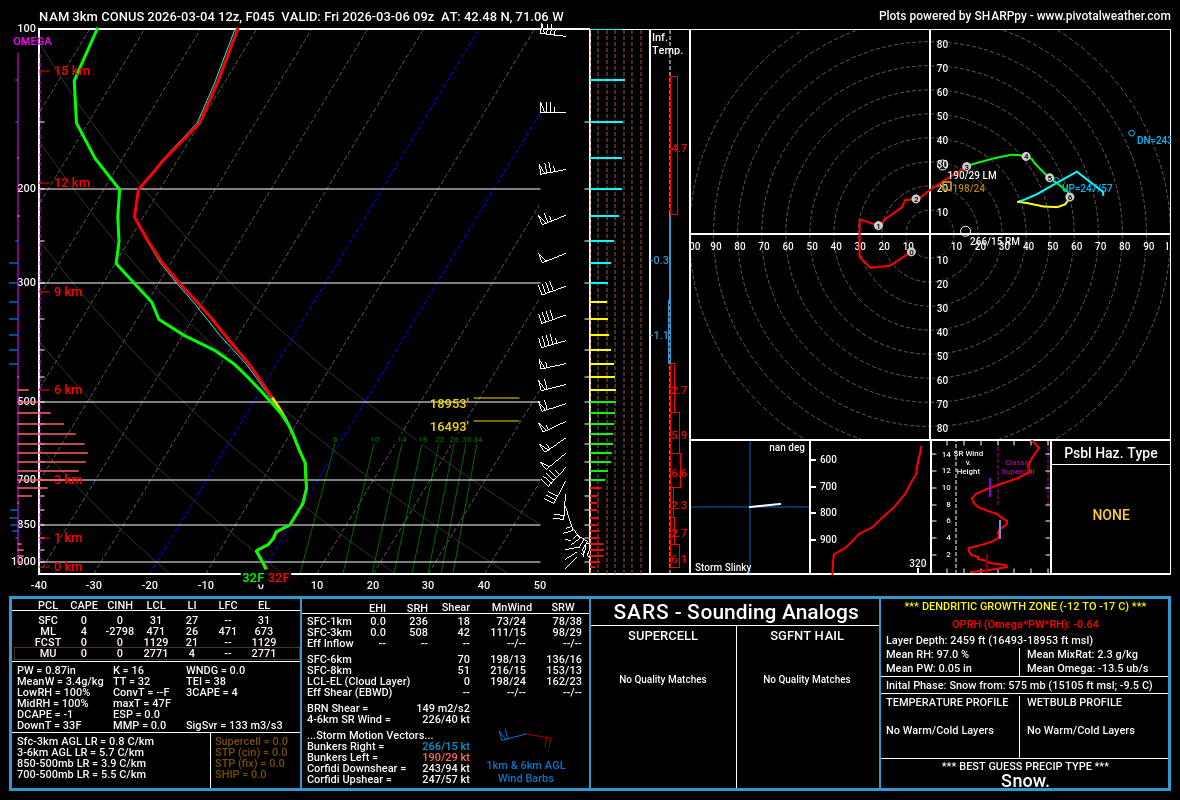
3k NAM near BOS. Mini snow bomb? Lol

-
Then there is this
.png.af0d18d9da3814fce1c319041e96881b.png)
-
For sure. Now we have snow eating fog in the valley this A.M. Pack will dissipate very quickly today between the fog and 50s
-
After the super cold swfe that's what I had for peak depths. As far as met winter goes this really has been almost wire to wire.
-
Not at 32F. Don’t think this one is for you.
-
Heavy heavy fog
-
Yup. Sweet little event from the Mountain north and high impact. Not nearly as much snow below the pike down here but it cranked for a little while and then we had a nice layer of zr on everything for at least a modest impact. Yesterday turned out pretty wintry almost statewide. The fog and zr after effects are stunning here and still a respectable pack. One would never know the sun was out not far up.
-
do Cheeze Its count?
-
Yeah, Charlie, it looks like also no UHI at those 4 GA locations that were just noted. OTOH, Phoenix (as a great example) has had a significant UHI as we’ve discussed to pile on top of CC’s effects there. So, it’s not always a red herring and it shouldn’t be ignored where it has had a lot of impact. Otherwise, it looks to others like it is purposely being hidden to exaggerate the effects of GW even if that’s not the case. I’m a disclose everything kind of person so that it doesn’t look like there’s something being hidden. That’s why I suggested Blairsville, GA, as a great choice for no UHI to cloud up the analysis. It’s also why I’m glad to see those 4 GA locations being rural.
-
Reggie will have the best handle on this tomorrow 6z