All Activity
- Past hour
-

January 2026 regional war/obs/disco thread
40/70 Benchmark replied to Baroclinic Zone's topic in New England
Yea, the pattern hardly ever fits 100% neatly into these little boxes that we construct to quantify the atmosphere, but it helps. -
Yeah it’s rare to see shortwaves dig into the gulf, so def something to keep an eye on if it’s legit. Also hopefully that kicker coming along holds off .
-
Ok, now that's a great look. Just checked the surface and it's a big one, but it's pretty warm out front as is.
-

January 2026 regional war/obs/disco thread
Ginx snewx replied to Baroclinic Zone's topic in New England
Dont know in history where the ridge resides but any month where the WPO is negative 3 or lower has always meant BN east . Tsk Tsk for not knowing historical correlation -
End of icon, yeah it’s the icon, but some support for the gfs at least .
-
January 2026 regional war/obs/disco thread
40/70 Benchmark replied to Baroclinic Zone's topic in New England
Well, I was aiming for brevity, which I know isn't your strong suite ...but the time and place for that kind of detail is in the post-season analysis...not this thread. -
Yep, same here...out of school the whole week and literally remember the huge piles of snow everywhere that we turned into forts and caves. My friends and I hid behind one of them and threw snowballs at cars driving on the side street...oops.
-
Cool, thanks. So overall seems your happy with it. Yeah seems you may sacrifice some power, but my father always has trouble with gas stuff, so the ease of use is important for sure.
-
January 2026 regional war/obs/disco thread
40/70 Benchmark replied to Baroclinic Zone's topic in New England
OT....but I think the really smart money is on a good winter next season, regardless of whether or not we salvage this year....not sure there has every been 3 consecutive shitty el Nino events in these parts...although I understand the CC dynamic at play and the minimizing of ENSO, etc. -

January 2026 regional war/obs/disco thread
Typhoon Tip replied to Baroclinic Zone's topic in New England
To me it was all more than that. ...the entire hemispheric layout was not anticipated. That's what it means to be 'highly anomalous' but semantics aside. That was not a canonical WPO ... it was a freak scenario that weighted the WPO and EPO ( oscillatory) down just because the ridge meandered some over a 4 week period, but that whole circumstance was something else. Proper -WPOs are situated closer to the Siberia/NW Pacific. The EPO is closer to Alaska... That thing was centered over the dateline, slightly S of WPO latitudes, but was just enormous enough to pull on the index domains Numerology of the indexes, without qualitative analysis? tsk tsk As an afterthought ... might look at the W Pacific warm eddy ... the Pacific resonant pattern of the first 1/3 of winter was suspiciously well placed downstream of that feature, where physics would want an atmospheric response. Just sayn' -
We have a family camp in Ellsworth. You definitely want to not be in the River valleys, you want to be above 1000'. We can be riding the snow machine trails all around Stinson Lake with 18" base, and they'll be like 3" down in the Baker and Pemi River valleys with closed trails.
-
It is much lighter than my old Craftsman which is good and bad.
-
I bought an EGo last winter. So far I mostly like it. The model I have doesn’t allow for powered steering. We haven’t had any big snowstorms to really test it. I can get most of my driveway (sometimes all of it) on one charge (it has 2 batteries). It throws the snow really well. Chews through the plow piles well. Zero maintenance. You might want to get a second set of batteries ($$$). I have several of their tools so they are interchangeable. It is 24” wide.
-

Central PA Winter 25/26 Discussion and Obs
sauss06 replied to MAG5035's topic in Upstate New York/Pennsylvania
was the best birthday present ever -
Mid 40’s with soup dog this morning .
-
Again, the metros all got measurable December snow with DCA coming to within less than a quarter inch of the average for 1991-2020 climo. Most of the time in a dreg season the metros would still be waiting for their first snowfall.
-
Hey @HoarfrostHubb, I think you have an electric snowblower. You mind telling me how you like it and how big it is? Do you do a large area with it? My folks driveway is about 100' x 30' so I'm wondering if it'll have enough power to do that.
-
Yeah your last sentence is key. If you ignore everything else and just look at ensemble mean D10-15 plots, that is the opposite of “shit the blinds and get ready for spring”. -AO, -EPO, +PNA, tropospheric PV in our hemisphere, neutral to -NAO, broad continental trough over eastern 2/3rds. That all says winter to me. Do we underachieve and waste it? Always a chance and maybe a decent chance due to residual Nina-ness.
-
January 2026 regional war/obs/disco thread
Typhoon Tip replied to Baroclinic Zone's topic in New England
Whatever happens with the temperatures tomorrow and Friday, Saturday looks suspect to me. That looks like meso-low/'tuck' times. We are at the eastern end of a warm boundary that is pinned along or S of L.I., with +D(PP) moving across QUE, with damming already nosing down to the Pike like that? good luck. Might even end up being another ZR issue with that. -

January 2026 regional war/obs/disco thread
HoarfrostHubb replied to Baroclinic Zone's topic in New England
Good flakes now. -

Arctic Sea Ice Extent, Area, and Volume
TheClimateChanger replied to ORH_wxman's topic in Climate Change
Wow, they need to expand that y-axis. We're not seeing the full ensemble mean spread for late summer because it's cutoff by the current y-axis. Some of those individual model runs must be at or near BOE criteria as well. -
2025-2026 ENSO
40/70 Benchmark replied to 40/70 Benchmark's topic in Weather Forecasting and Discussion
@michsnowfreak31.3" in 1995-1996? Holy $hit....I had 127.5"....that must be the only time in recorded history, and likely ever, that Philly received more in one event than you did for the season. Although 2009-2010 was closer in the Baltimore area... -

Central PA Winter 25/26 Discussion and Obs
Itstrainingtime replied to MAG5035's topic in Upstate New York/Pennsylvania
Yes sir, I had a brief shower that dented the gauge to the tune of 0.1" between 9pm and 10pm. -
CFSv2 has been doing that since 2020, give or take. A better system, UFS, is linked below: https://www.cpc.ncep.noaa.gov/products/people/jszhu/seaice_seasonal/index.html
-
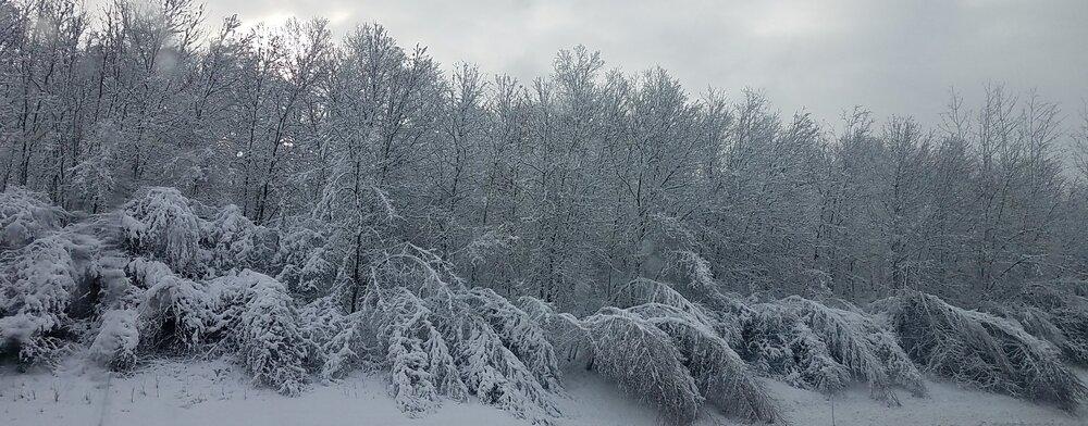
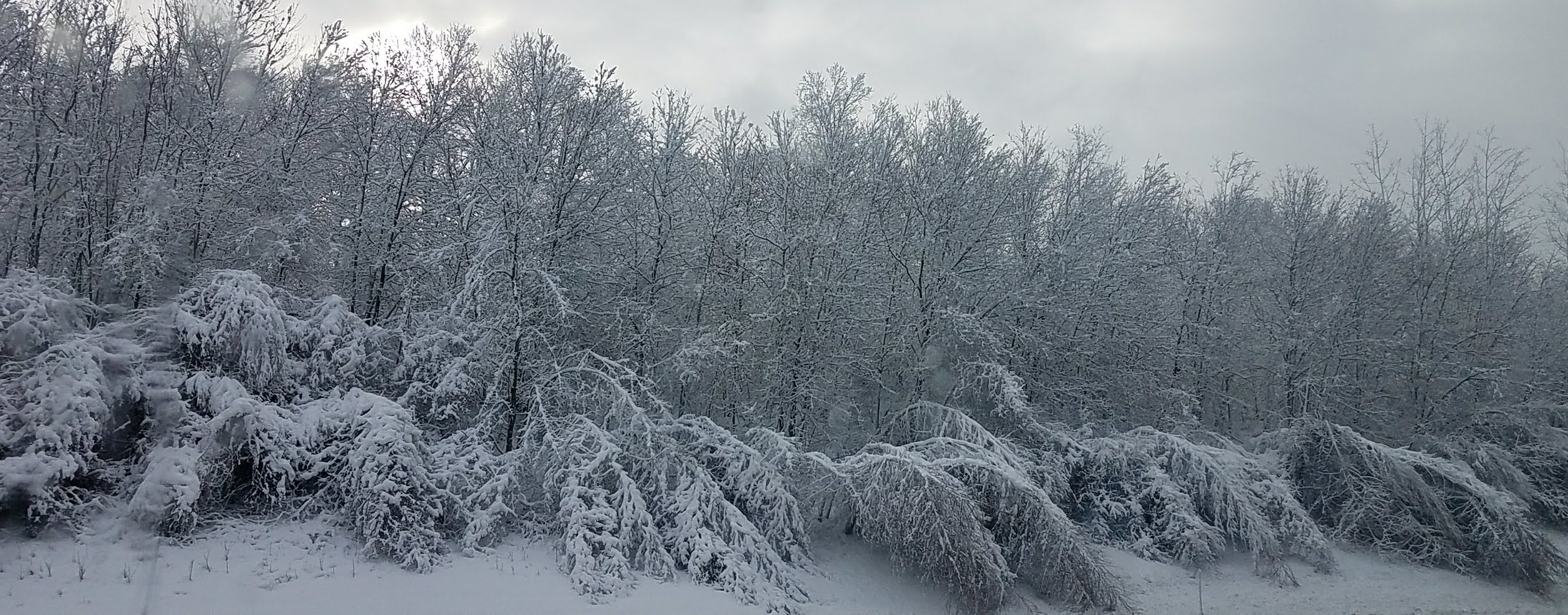
January 2026 regional war/obs/disco thread
Ginx snewx replied to Baroclinic Zone's topic in New England
These small birches were bent over in the March 18 paste storm and are still bent crooked in 25