All Activity
- Past hour
-

White Christmas Miracle? December 23-24th
Typhoon Tip replied to Baroclinic Zone's topic in New England
You know the way that ridge bulges in the midwest like that and this thing comes down out of the northwest along the 540… starting as a zygote plume in N IL then strengthening E before diving southeast … it looks like an MCS in the summertime riding the thermodynamic gradient -
Surprisingly we didn't get the wind that was forecasted for our are.
-
My PWM plot is night and day from Mansfield in most regards, but I totally get the OCD part. I will go back and forth in my head about the depth during every wind-driven event. Hell, I'll even do it when measuring new snow. Talking myself in and out of literally tenths of an inch. At least you have other people to converse with. I come back in the house talking to myself and my family just looks at me funny.
-

Possible Light Snowfall (1" - 4") on Tuesday Dec 23
MJO812 replied to Northof78's topic in New York City Metro
Light precip -
Yes
-

White Christmas Miracle? December 23-24th
CoastalWx replied to Baroclinic Zone's topic in New England
Christmas party? -

Possible Light Snowfall (1" - 4") on Tuesday Dec 23
Krs4Lfe replied to Northof78's topic in New York City Metro
I would assume it would have to be moving pretty quickly in order for accumulations to be that low ? -
Possible Light Snowfall (1" - 4") on Tuesday Dec 23
MJO812 replied to Northof78's topic in New York City Metro
All models have shifted north. I like a dusting to an inch for NYC.thumb.png.7ee77c9d7a57646613c5b5f17b745e16.png)
-

Possible Light Snowfall (1" - 4") on Tuesday Dec 23
wishcast_hater replied to Northof78's topic in New York City Metro
Block this guy. I did last year, the only time I see his post is when someone quotes it. . -
Possible Light Snowfall (1" - 4") on Tuesday Dec 23
MJO812 replied to Northof78's topic in New York City Metro
RRFS
-

Possible Light Snowfall (1" - 4") on Tuesday Dec 23
CPcantmeasuresnow replied to Northof78's topic in New York City Metro
What was the issue? -

December 2025 Short/Medium Range Forecast Thread
Daniel Boone replied to John1122's topic in Tennessee Valley
Pretty Standard La Nina looks like. -

December 2025 Short/Medium Range Forecast Thread
*Flash* replied to John1122's topic in Tennessee Valley
This look could be a lot worse.

-
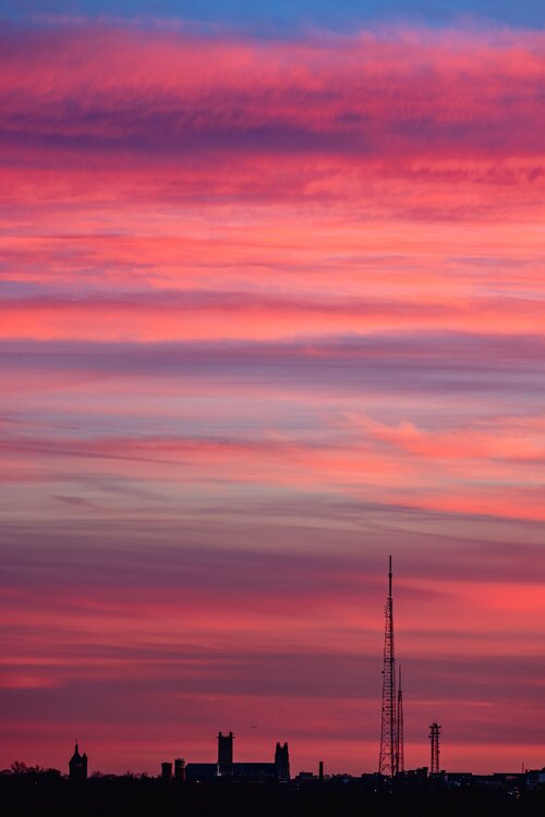
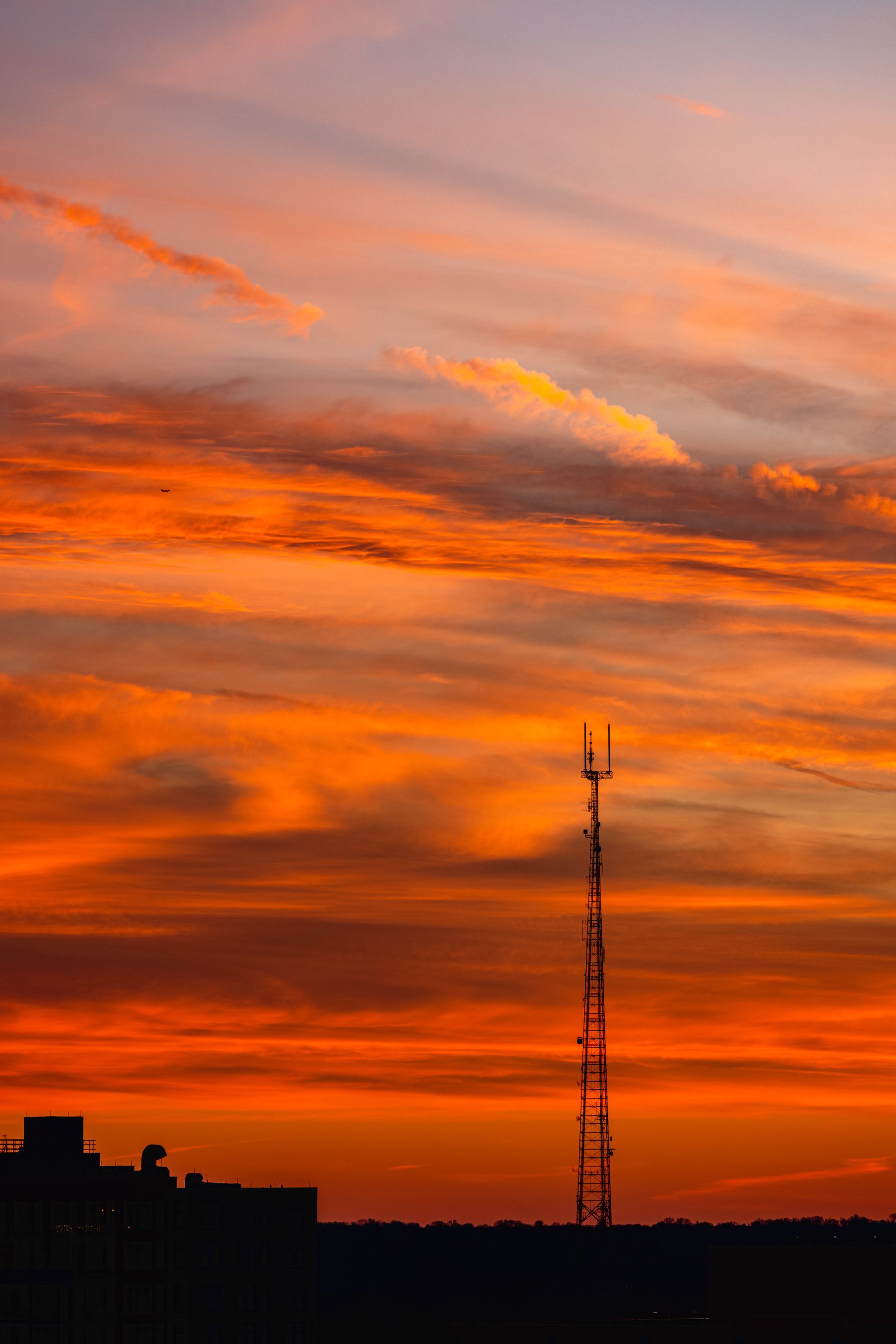
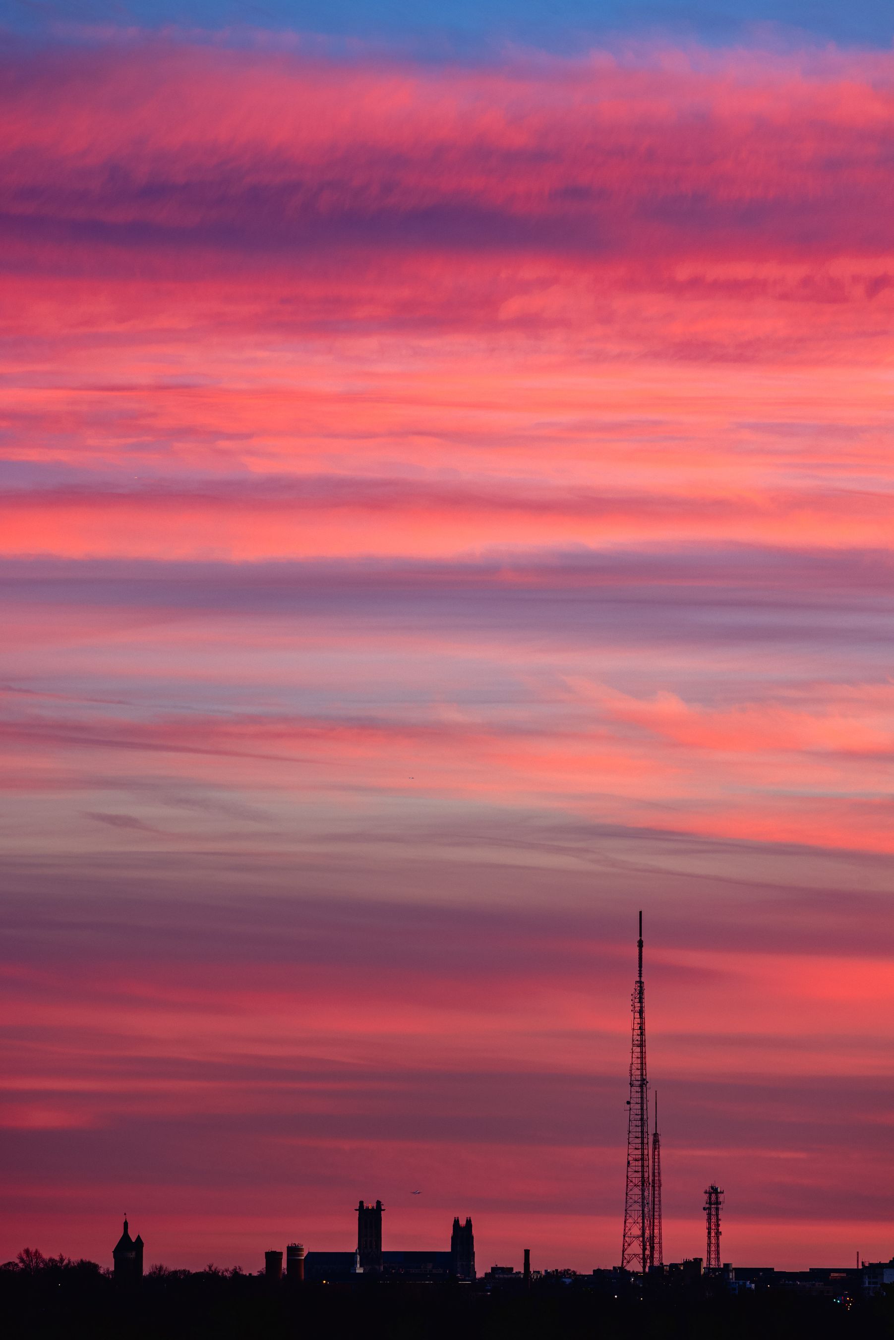
I just love the sunset color at this time of year!!

-

December 2025 regional war/obs/disco thread
WxWatcher007 replied to Torch Tiger's topic in New England
18z Euro also looked colder for Boxing Day. That might be one to watch. Rain to ice to snow? The low level cold is there verbatim. -
@John1122atmospheric river alerts are posted for Mammoth later in the week. The webcams should be hopping.
-
Possible Light Snowfall (1" - 4") on Tuesday Dec 23
MJO812 replied to Northof78's topic in New York City Metro
Broken record -
White Christmas Miracle? December 23-24th
WxWatcher007 replied to Baroclinic Zone's topic in New England
Yep, most would take that. Would like to see more with the varsity 00z models. -
Possible Light Snowfall (1" - 4") on Tuesday Dec 23
Krs4Lfe replied to Northof78's topic in New York City Metro
Well I think we’re in a very sensitive spot. If it shifts too far north then it’s just rain showers. If it shifts too far south then it’ll probably get shredded even more. Not sure the cards are there for us for this one -

White Christmas Miracle? December 23-24th
Baroclinic Zone replied to Baroclinic Zone's topic in New England
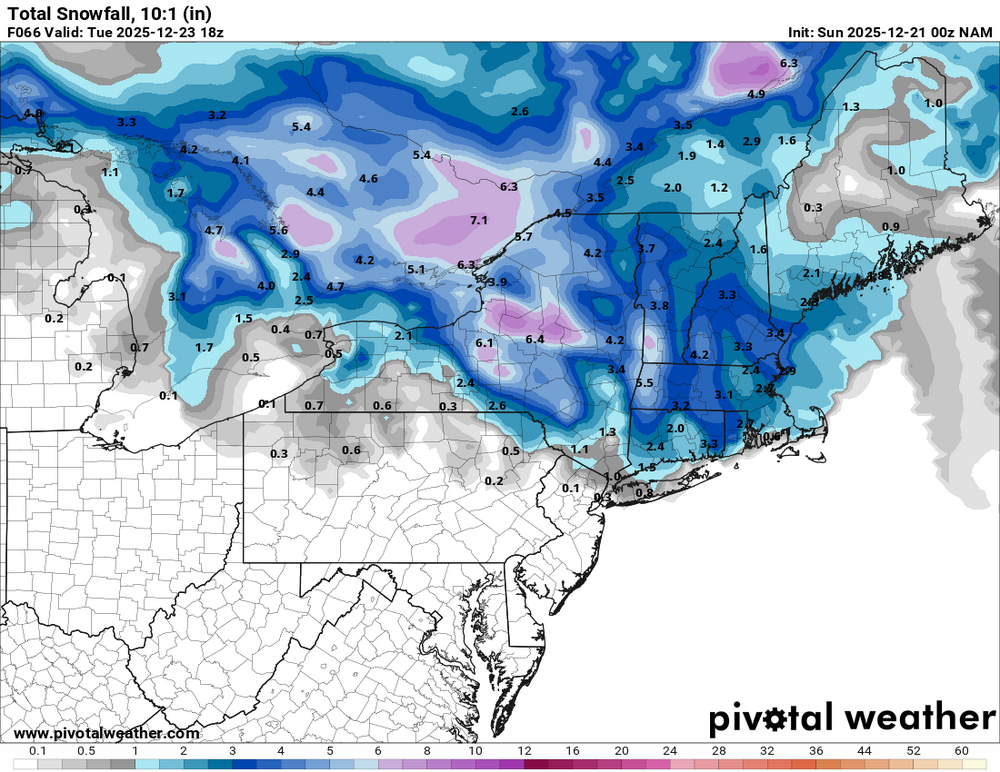
It’s the NAM, tossed. -
You are right
-
White Christmas Miracle? December 23-24th
CoastalWx replied to Baroclinic Zone's topic in New England
It’s way south and juicier. -

White Christmas Miracle? December 23-24th
ORH_wxman replied to Baroclinic Zone's topic in New England
Def healthier than the previous couple runs. -
Possible Light Snowfall (1" - 4") on Tuesday Dec 23
MJO812 replied to Northof78's topic in New York City Metro
0z fv3.thumb.png.16a7094b6f959584ab7f99cccfe64af2.png)
- Today
-


.png.04ca5a8c20843df451923a74852f6f12.png)


.png.34974a61278dc1edac8a34b582bb9e4e.png)
