All Activity
- Past hour
-
 Still doesn't seem like a wet pattern. I'm sure El Nino will give us a boost, but in the long run we may go drier.
 -

Anomalous Late Spring storm May 30 2026
metagraphica replied to HoarfrostHubb's topic in New England
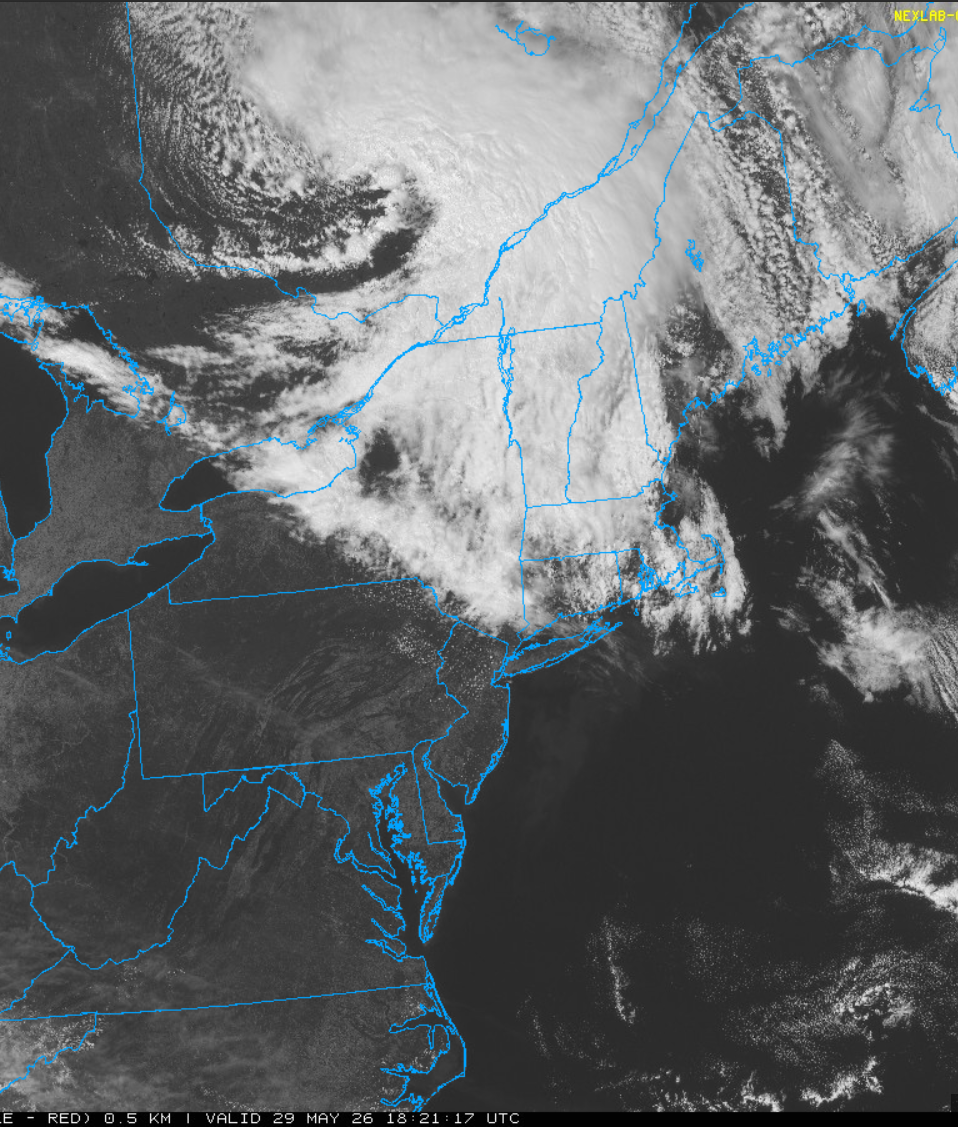
Pretty interesting watching this thing drop SSE from Hudson's Bay.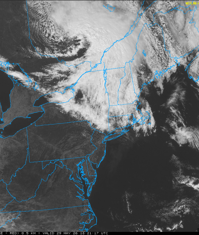
-
hm the only thing notable so far about this entry into summer ( anyway) is that utter nondescript characteristic to the pattern. the modelling has almost nothing really fitting a known mode - it's just a mottled mess of irregularly spaced wave features from S of Alaska to the Atlantic at least for the next 2 weeks, it'd be difficult to predictively assess the temperature anomaly distribution
-
almost looks like this thing's truckin' along faster than guidance. geesh, we're dry slotting here by 10 pm
-

E PA/NJ/DE Spring 2026 Obs/Discussion
RedSky replied to PhiEaglesfan712's topic in Philadelphia Region
The trash cans are happy they get to fly in the wind tomorrow thanks to the holiday delay -
 I also spoke to Louis Uccellini recently, and he also said that they are working on it. No ETA. He got really animated about it though, so it should be good!
 -
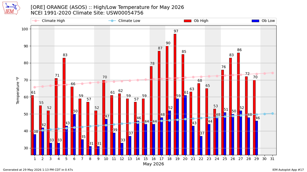
If all 31 days were average it would be a warm month in Tolland
-
Lol…so if we took out the 5 warmest it would be a cool month. And If we took out the 5 coolest it would be a warm month….good thing we had both the extremes to make it pretty close to average.
- Today
-
As the saying goes …the extremes are what make up the averages.
-
I’ll take the over there tomorrow morning
-
If you took the five warmest and the five coolest and averaged. It would be a pretty average month.
-
Not sure what they’re using for normals since ORE wasn’t operational until summer of 96.
-
32.4F -SN Has begun on MWN. Big flakage. What will be their total? Fun to watch!
-
almost sub-synoptic scale. tight sucker.
-
That would be a pretty warm month if you took out the 5 coolest days.
-
The coordination between the people in Omaha and local monitors is not the best. Good news (at least in MD) but in other places, it is getting better... slowly. It usually takes 2-4 weeks for the drought monitor to "catch up" and even then they are very hesitant to take areas out of drought.
-
https://weather.cod.edu/satrad/?parms=subregional-Quebec-02-24-1-100-1&checked=map&colorbar=undefined
-
HWW. Cape cod. Some models have the LLJ even stronger Cape Ann to eastern Plymouth County. If the Cape has one, then they should probably have one.
-

Anomalous Late Spring storm May 30 2026
Damage In Tolland replied to HoarfrostHubb's topic in New England
Advisories back to ORH now. Still not far enough west and they’ll react during the event as usual -
flash drought
-
st pete beach > any trash beach chicago has to offer.
-
 I have lost a lot of faith in the veracity of the U.S. Drought Monitor. When it updated Thursday morning at 8:30, it kept Augusta County in Extreme Drought. No way! 3 - 5 inches of rain in 8 days. 4.88" at my gauge. Water table rising and only a few ft. below normal. It would be a miscommunication to even say that we are abnormally dry at this time. Maybe in a few weeks if no more rain, but not now.
 -
pretty meh overall... if it wasn't for that 5 day period we would be well below
-
KORE is below normal for May..