All Activity
- Past hour
-
.24 dewy and rain with rain well back into NY state . Will end up with .50 of unmodeled rain. Amazing differences
-
Yes and it really does not happen in June and even moreso after so much rain. But add this caveat, we rarely ever see our highest temperatures in June, this will probably be an appetizer for heat even more extreme in July.
-
Well this was the case in 1980, heat began around or after June 20th. This is my main analog for this summer and has been for months now.
-
Man what a shit day, tomorrow more of the same.
-
Love this post. Measured and level headed. I am wary about temperatures peaking much over 100 myself, especially this far in advance. As Walt stated much can interrupt and it has been quite wet lately. Bigger issue for me will be HI readings possibly 105-110 with higher than usual dews possible for a W / WNW heat event. We'll see but high temperatures of 105+ are very suspect to me.
-
Important to note that the 2021 ridge had some local geographic factors involved in addition to just the strength. There was a major downslope east wind event coming off of the Cascade mountains due to a surface low off the coast. For our region, the equivalent would probably be a downsloping west wind event that would send central park and EWR well beyond all-time record highs.
-
Im not sure I follow this? Heat after jun 20th, meaning no heat until or starting after jun 20th?
-
Is the rain dying out as it moves east? Im hoping reality is better than the radar is showing .
-
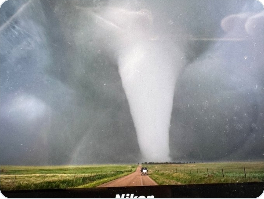
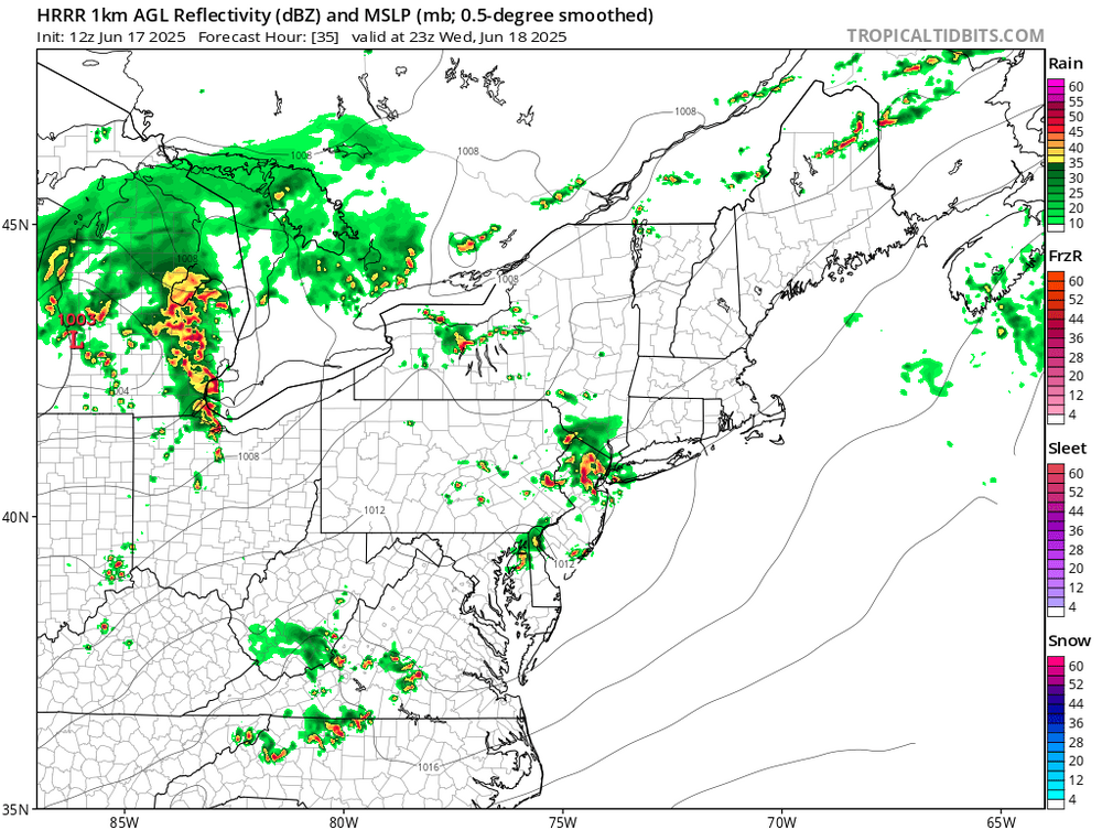
If we get sun, then today has all the makings of a sneaky tornado threat along the I-81 to US 15 corridor.
-
partly sunny 69/64.
-
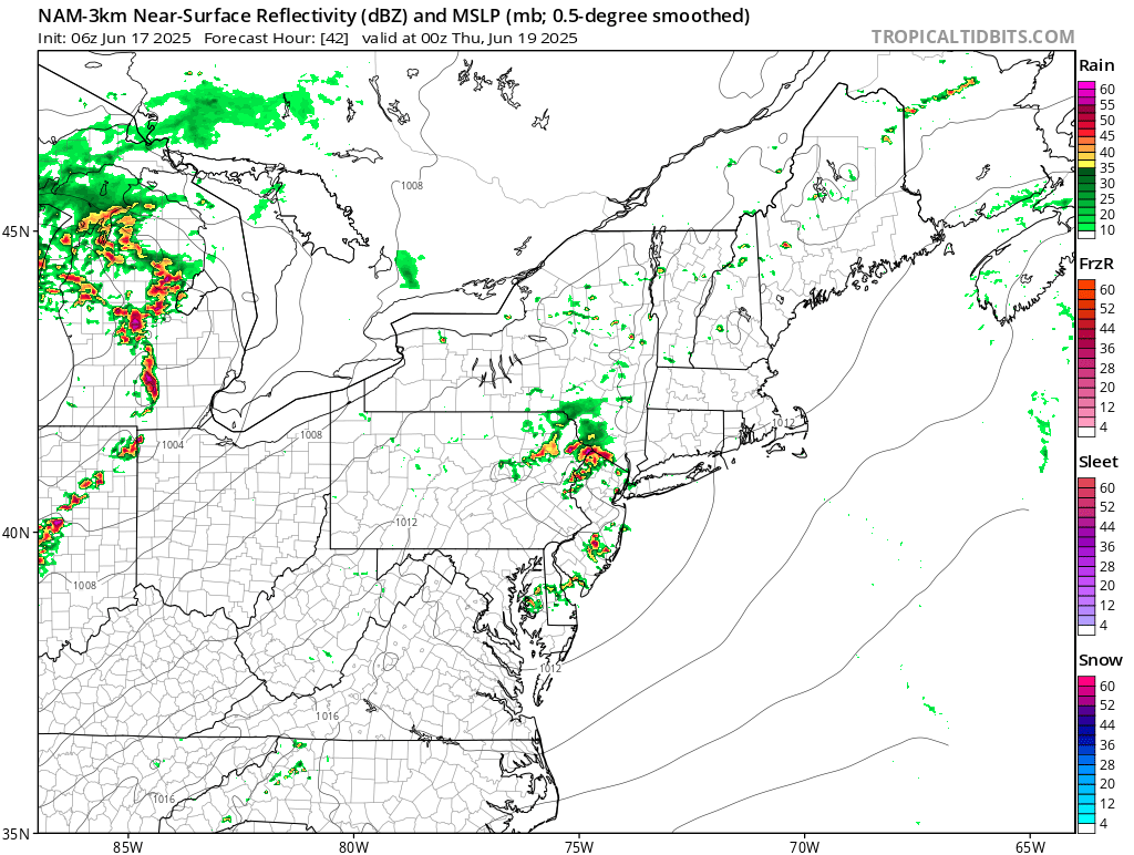
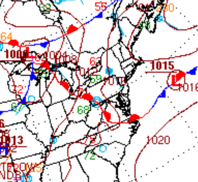
The NAM is bringing this warm front thru tomorrow morning
-
positioning counts, lets get it set up for a nice dry landbreeze.
-
I'm up for the challenge!!
-
What is the apparent temp vs the heat index vs the feels like temp? Can we just post the actual temp and it will be apparent that the feels like will be different for everyone?
-
This is climo history, when you have heat starting in the latter part of June it doesn't peak until July. Heat after June 20 usually indicates a very hot and very long summer. 1966, 1980 and 1993 being cases in point.
-
Maybe this extreme and historic heatwave will break the pattern. I, for one, am excited to get 2010, 2011 heat back into the region!!
-
And on it goes this morning. Had light rain, mist and drizzle all day yesterday. Pea soup fog ongoing this morning. Seems temperatures at my location have been stuck between 58 -62 degrees for days. Rainfall totals since last Friday = .28"/.36"/.07" and .23". Total = .94".
-
That really is an unusual streak for Philly, is that their all time longest? I can't imagine why Philly hasn't hit 100 over 13 years lol. Can't use the sea breeze excuse.
-
You're catching on.
-
today I learned that "the next 6 days aren't very nice" is the same as "6 straight days of clouds and rain"
-

2025-2026 ENSO
40/70 Benchmark replied to 40/70 Benchmark's topic in Weather Forecasting and Discussion
I think it could... -
2012 for Philly with 99 in 2022, 3 98 last year and 3 98 in 2022
-
mcs potential along the warm front tomorrow

-
Since Friday evening, 1.33” here in Lebanon, MTD is now 3.47” and YTD is up to 23.08” .