All Activity
- Past hour
-
Overcast never came. Yet. Still nice and sunny.
-
Down to 48 this morning. Looks like a few more chances for 40s this coming week.
-
Formatting got hosed, good catch. Here is the rightly aligned list EWR 1980 - presnet Rank Year Apr May Jun Jul Aug Sep Oct Total 1 2010 1 2 13 21 11 6 0 54 2T 1993 0 3 9 22 11 4 0 49 2T 2022 0 4 6 20 18 1 0 49 4 1988 0 1 10 15 17 0 0 43 5T 1991 0 8 10 9 12 2 0 41 5T 2002 4 1 5 16 14 1 0 41 5T 2021 0 4 12 11 13 1 0 41 8T 1983 0 0 7 15 11 7 0 40 8T 2016 0 3 3 16 13 5 0 40 10T 1994 1 1 10 16 9 2 0 39 10T 2025 0 0 10 20 8 1 0 39 EWR full record most 90 days in September: Rank Year September 90°+ days 1 1961 9 2 1983 7 3T 1959 6 3T 2010 6 5T 1970 5 5T 1973 5 5T 2015 5 5T 2016 5 9T 1952 4 9T 1993 4 9T 2005 4 9T 2018 4 9T 2023 4
-
Hrrr weakens the line in PA but then re-intensifies and slams LI/CT
-

Septorcher 2026 Discussion - Endless Summer
Damage In Tolland replied to Damage In Tolland's topic in New England
Congrats there -

Septorcher 2026 Discussion - Endless Summer
Chrisrotary12 replied to Damage In Tolland's topic in New England
Anyone else drive by Cambridge Reservoir in Waltham lately. It’s empty. -
Are you sure we had 11 90-degree days in August last year? I remember the summer suddenly ending after 7/31. I think that should be a one, not 11.
-

Septorcher 2026 Discussion - Endless Summer
CoastalWx replied to Damage In Tolland's topic in New England
12z RRFS 2.0 and 18z hrrr pillaging. Hope it is right. -
Somehow managed normal snows that winter. April snow events helped. Feb storm was fun too.
-
.thumb.jpg.6a4895b2a43f87359e4e7d04a6fa0d14.jpg)
Central PA Summer 2026 Discussion/Obs Thread
Yardstickgozinya replied to Voyager's topic in Upstate New York/Pennsylvania
@Itstrainingtime @Voyager I miss you two handsome whipper snappers . -
Central PA Summer 2026 Discussion/Obs Thread
Yardstickgozinya replied to Voyager's topic in Upstate New York/Pennsylvania
US National Weather Service State College PA Tornado #49 for PA in 2026: 972 NOUS41 KCTP 120053 PNSCTP PAZ005-120500- Public Information Statement National Weather Service State College PA 853 PM EDT Fri Sep 11 2026 ...NWS Damage Survey for 09/09/2026 Tornado Event... .Lafayette Township Tornado... Rating: EF1 Estimated Peak Wind: 105 mph Path Length /statute/: 1.23 miles Path Width /maximum/: 200 yards Fatalities: 0 Injuries: 0 Start Date: 09/09/2026 Start Time: 07:19 PM EDT Start Location: 2 WSW Cyclone / McKean County / PA Start Lat/Lon: 41.8097 / -78.6272 End Date: 09/09/2026 End Time: 07:22 PM EDT End Location: 1 WSW Cyclone / McKean County / PA End Lat/Lon: 41.8144 / -78.6054 Survey Summary: At 7:19 p.m. local time September 9, 2026 an EF-1 tornado with maximum wind speeds of 105mph touched down between Bradford Airport and Bingham Road with a maximum width of about 200 yards. It traveled east/northeast and damaged some trees around and west of Bingham Road. The tornado continued through the area of woods east of Bingham Road before doing its most intense damage along and north of Sprester Road. It uprooted and snapped many trees before flipping a trailer on its side. The tornado turned northeast and continued damaging trees into the woods before dissipating as it approached the Buffalo & Pittsburgh Railroad line around 7:22 p.m. local time. We would like to thank McKean County Emergency Management and members of the community who provided firsthand accounts, footage, and pictures of damage. && I apologize that this has already been covered, but If the limited research I did is correct there's only been one minor injury in Pa. That injury was sustained in York county from a blown out window. So at least that's good news. -
Look forward to seeing your project when it’s done! if you’re willing to share.
- Today
-
I feel like a DJF mean is going to be deceiving this Winter. There’s going to be a lot of fluctuation from November straight through to March even though the overall trend is warm and wet. My expectations are low enough where anything will be a pleasant surprise. Regardless of temps and snowfall there’s a high probability of it being an interesting winter season for weather to follow. I don’t see a repeat 2015-2016 happening which was just total boring shit weather almost bell to bell.
-
 get medicine instantly [url=https://indiagenericstore.com/#]legitimate indian pharmacy online[/url] : online medicine sale
 -
Made it to 82 ahead of the clouds, now mostly cloudy and down to 79
-
-
The other thing that scares me a little bit is how that trough pretty much centers on the Bering Sea. Ideally, you want that a little further south of the Aleutians. Anyways, not trying to be negative just a couple things that sort of makes me pause a bit. But on the good side as I said that Canadian ridge would help in the west, and that also screams an active pattern so we take what we can get I guess.
-
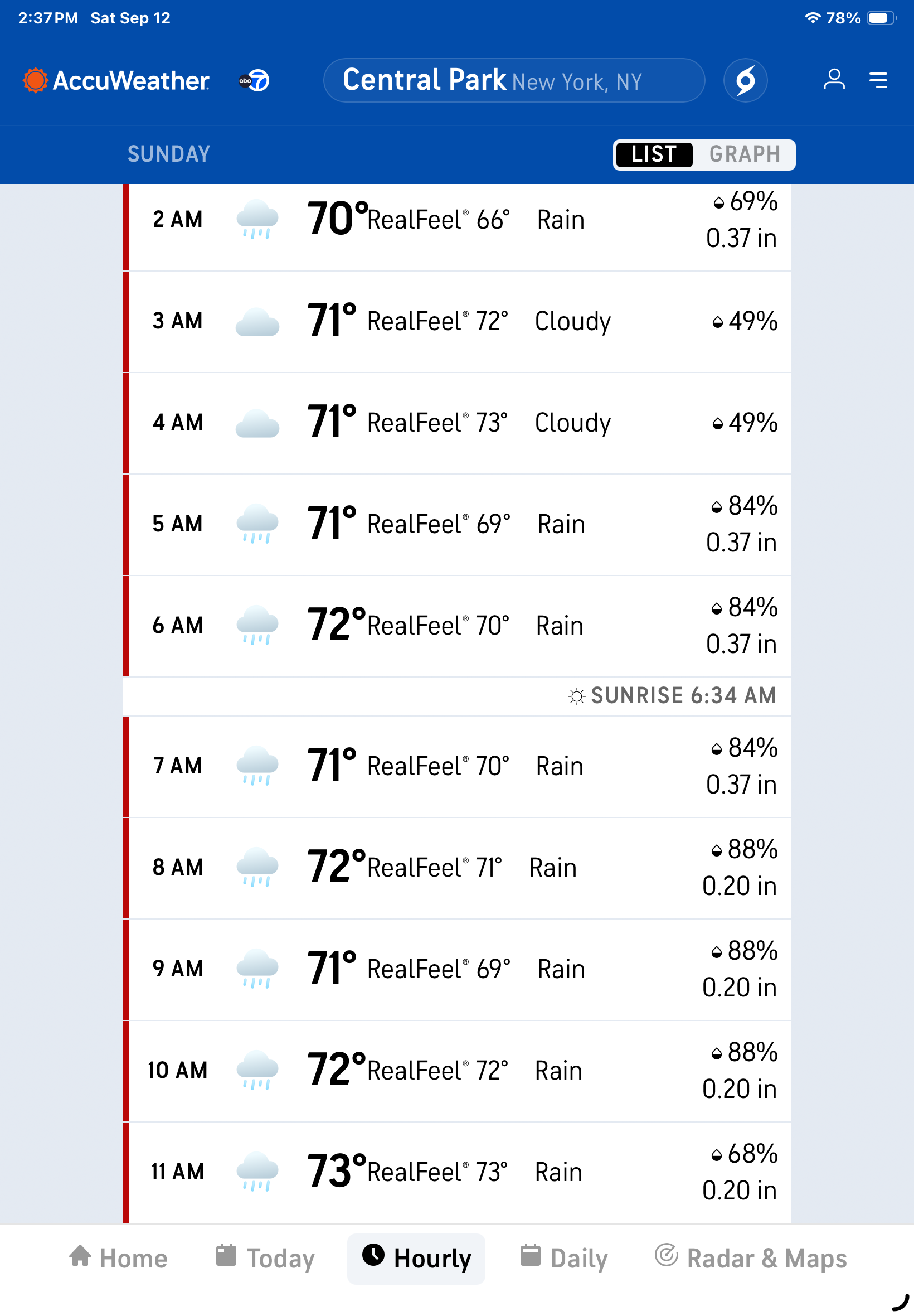
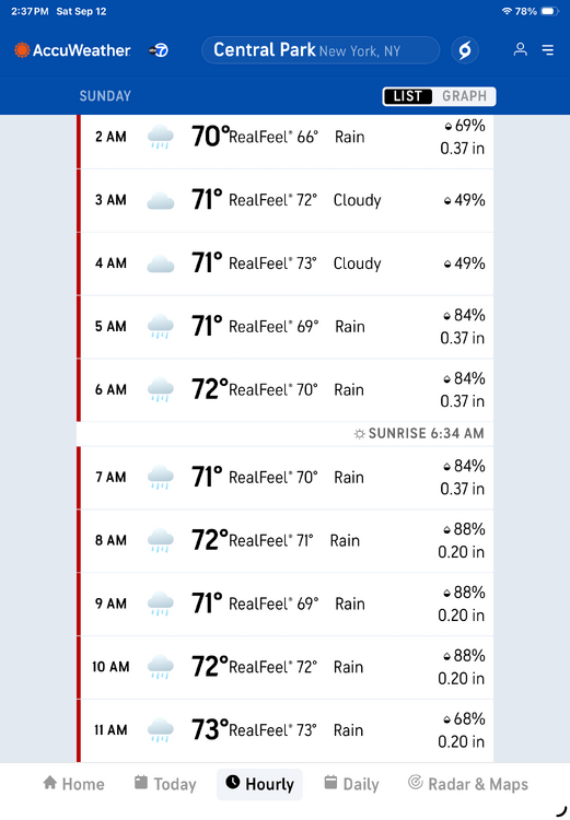
At the moment Accuweather has Central Park receiving 2.28 between 2 and 12 noon. Sunday. As always ….
-
Yeah, that ridge in Western Canada would work. And I know you know this, but those reds in Canada with a trough pretty much mean much warmer than normal Temps there, but that’s still pretty cold by our standards obviously. I think some people see that and think blocking, but that’s a trough there. So that just means warmer air.
-
Imho, you're in a great location based on current seasonal modeling. But the jackpot, again based on modeling, would definitely be higher elevations and the other side of the BR Parkway.
-
I am so tired of 65+ degree dewpoints. It seems that we can’t even catch a break outside of Monday for next week.
-
Wonder if Charlottesville could do rather well with that sort of setup. I’m far enough west where I rely on a slightly more inland track for coastals than NOVA. As a side note, I think for my climatology class I’m going to be doing a semester research project on storm tracks based on El Niño vs La Niña and the different patterns you need to get snow in each. Will be done by December so might help with the upcoming season.
-
Septorcher 2026 Discussion - Endless Summer
CoastalWx replied to Damage In Tolland's topic in New England
Although looks like for once I may get a decent drink. Can’t narrow down the jack yet. -
tough when the trolling doesn’t have the desired effect
-
December 8th