TellicoWx
Members-
Posts
2,632 -
Joined
-
Last visited
Content Type
Profiles
Blogs
Forums
American Weather
Media Demo
Store
Gallery
Everything posted by TellicoWx
-
Possible...i would think the precip shield would be larger, could see moderate returns..not what the Euro spit out
-
I'm actually not sure why it keyed in on those
-
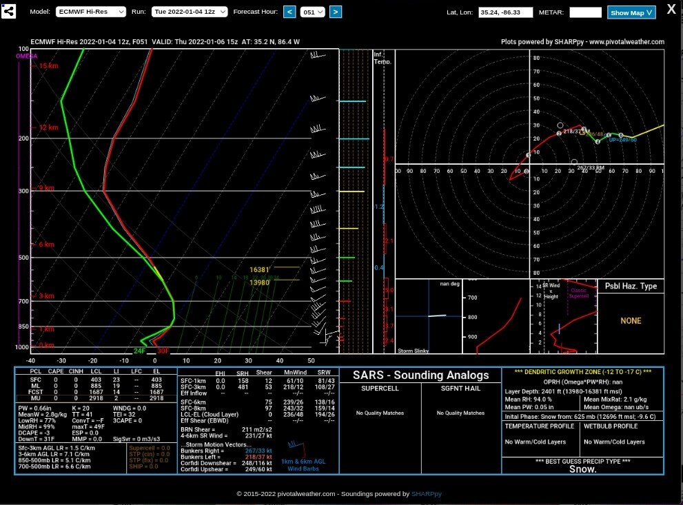
I would set that 12z Euro to the side...it does run an almost convective type cells starting on the southern plateau up the valley. I dont see that type of dynamics to support it as @Holston_River_Ramblerpointed out.
-
No, it's just a weak vort...some have had it shear out over middle TN on prior runs.
-
It's been on different runs on models, Apps shearing the 850 once it reaches them
-
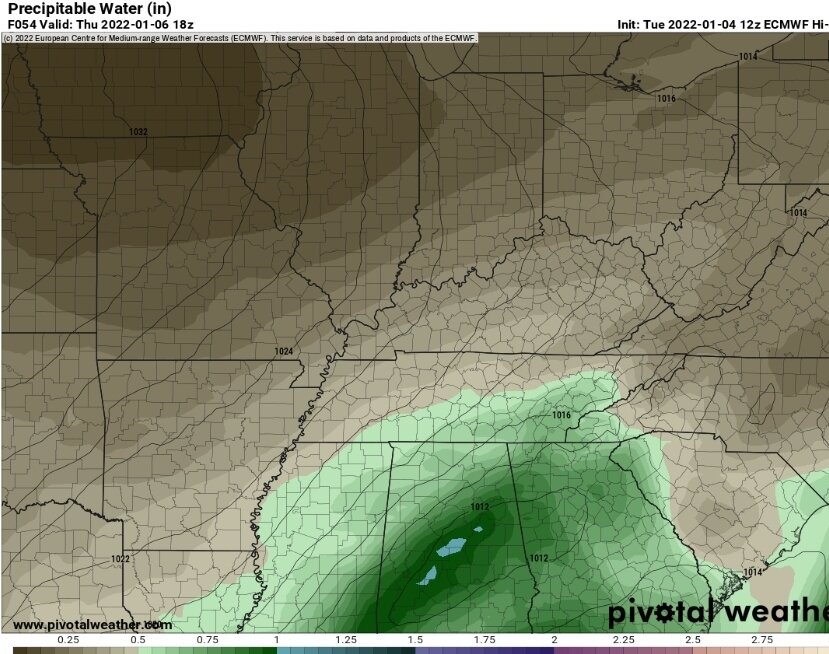
12z Euro has a better moisture transport up the valley without blasting the LLJ (warm nose) up it..compared to say the 12z GFS which doesn't veer the LLJ as good up from the gulf (source region)...interesting to watch which has the better handle.
-
Bullseye TYS
-
12z Euro ticks south
-
Besides the fluke 6z NAM where it was being the typical NAM over amping, this should be a good event board wide. Only areas of concern to me are 1) as Jeff said the very southern valley with its slight warm nose (trends have been slowly inching to a little better solution there) and 2) the moisture return near the Memphis/NW TN area. Less amping of the system doesn't get the moisture feed going until a hair late.
-
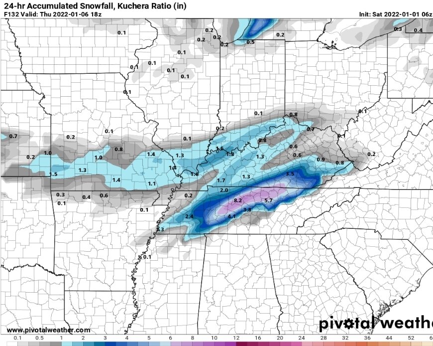
No it's Kuchera..ratios little better with this system then the last
-
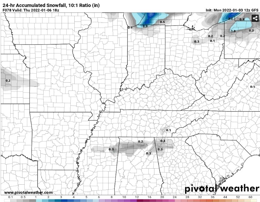
GFS finally loaded on pivotal
-
12z CMC
-
12z GFS close to a copy of the RGEM
-
GFS looks similar to 6z...touch south, less warm nose in southern valley
-
RGEM shifted a tad south as well...NAM would have looked better but LLJ was too far out in front as it entered the state.
-
Nice shift south on 12z NAM 850 entering near Memphis instead of Paducah...should be a decent run
-
0z CMC adjust a tad south..takes 850 track thru center of the state
-
Ingredients are there for a nice mid south slider..cold supply, nice 850 LLJ to tap the gulf, not an overly amped 850 (lessens the cut factor)...final recipe revolves around that 850 track and how far the warm nose off the LLJ nudges up the southern valley (if 850 tracks Southern border)
-
Yep, took the 850 along the southern border vs the northern border @18z
-
0z Nam took a more southern route along the TN border, more of a slider solution.
-
GEFS doesn't agree with the OP on that 850 piece..hence the mean..better agreement between it and the Euro/CMC Ops
-
Get that 850 and jet streak to stay down at TN southern border and you got another board wide event (GFS is missing that piece vs Euro/CMC)


