-
Posts
733 -
Joined
-
Last visited
Content Type
Profiles
Blogs
Forums
American Weather
Media Demo
Store
Gallery
Everything posted by bkviking
-

May 2024 temperature forecast contest
bkviking replied to Roger Smith's topic in Weather Forecasting and Discussion
Late! DCA: +1.6NYC: +1.8BOS: +1.7ORD: +1.1ATL: +1.1IAH: +0.5DEN: +0.5PHX: +0.5SEA: +0.5 -
I must recommend a Helly Hansen - easily the best rainy/ snowy weather jacket I’ve had. Best. North Face and Oros - pass. If of course you don’t have one.
-
35° low here in Smithtown.
-
Not sick of them at all. Those of us who went through it will never forget it and it’s now 1.5 weeks and glad to see yours and others post pictures from event as all i had was my iphone camera.
-
Exactly.. I kept ignoring Waze until i saw situation as nearing hopeless and all it did was take me through deep Adirondack route - most with zero cell service. I expected bad but this is truly a legend of bad traffic.
-
So glad you got these shots. I was in Plattsburgh also (city beach) and was nervous with clouds all day but it was perfect and as expected peak lifetime experience. Traffic was epic - worst I’ve been in - back to Saratoga hotel. 130 miles in 5.5 hours. All worth it
-
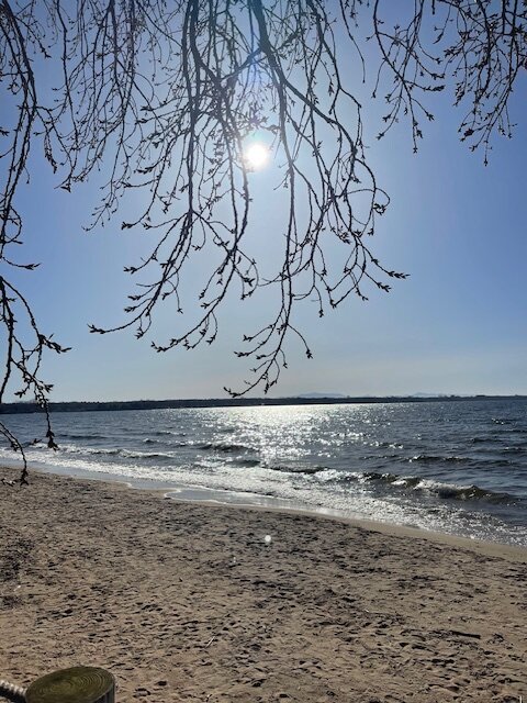
Lake Champlain, Plattsburgh. Got great spot at City Beach where there is concerts and food truck festival and of course, bathroom access. But gambling on just high thin clouds.
-
I’m just 15 minutes south of you and heading to Plattsburgh also. i am targeting 2 beaches that have bathrooms and also shuttles from other spots including Walmart which ultimately could be where i end up. High clouds are simply an accepted part of this now sadly. I hope it’s just that. I could do Burlington but not sure 30 miles is significant enough at this point. Plattsburgh has a long totality , also. Met a retired astronomy teacher who chased 2017 and for this one he’s going to Montpelier for better shot but its totality time is half of Plattsburgh’s. So about to head out and just hope for the best. I return after eclipse to Saratoga Springs.
-
I am in Clifton Park now at a bearable Red Roof Inn for $120. Pay for what you get. But will launch early to Plattsburgh - 130 miles - with 3 locations - two state parks and Walmart - where they are funning shuttles to beaches. Spoke to retired astronomy teacher outside and hes heading to Montpelier and while that is further west you also get less than half the totality of Plattsburgh. So appears my fate is written at this time and i will have to risk more clouds. But from Plattsburgh my Monday night hotel is in saratoga which is lovely Training
-
Heading up tomorrow to Clifton Park, then next morning to Plattsburgh for eclipse. Not sure exactly where yet but a Walmart Supercenter for initial stop off point. After the eclipse i will head down to Saratoga - i guess normal two hour journey might be at least double or more. Whatever - Plattsburgh hotel rates were out of control.
-
1.2” on the Tempest here in Smithtown
-
Pretty heavy rain in Port Jeff with nice wind gusts. Nice blob of red on radar out here. Down to 46° from 56° 2 hours ago.
-
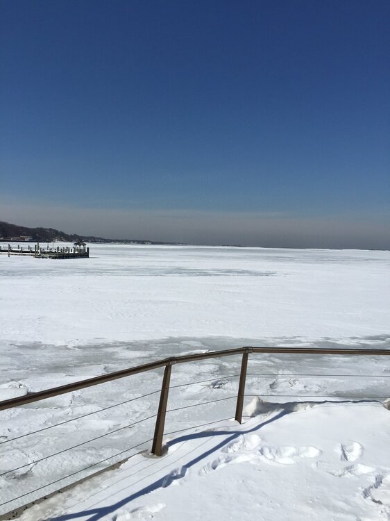
This was Port Jefferson Harbor , March 7 , 2015. The last great freeze. People were still walking out on this ice field as of March 1, 2015. I have pictures of that.
-

March 2024 temperature forecast contest
bkviking replied to Roger Smith's topic in Weather Forecasting and Discussion
DCA: +2.2NYC: +2.3BOS: +2.4ORD: +2.0ATL: +1.1IAH: +1.2DEN: +0.5PHX: +0.1SEA: +0.3 -

February 2024 temperature forecast contest
bkviking replied to Roger Smith's topic in Weather Forecasting and Discussion
DCA: +1.2NYC: +1.2BOS: +1.0ORD: +0.9ATL: +0.4IAH: +1.0DEN: +2.3PHX: +1.6SEA: +1.2 -
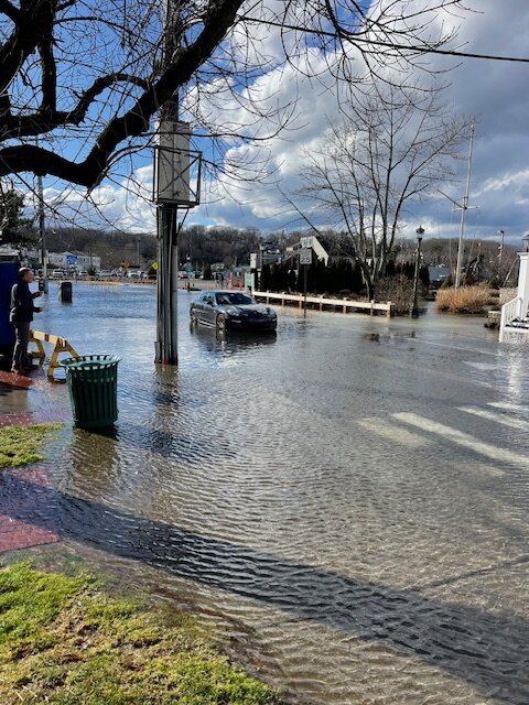
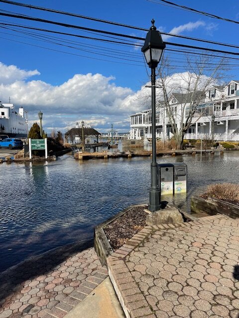
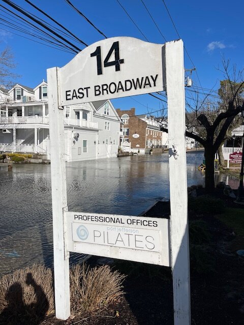
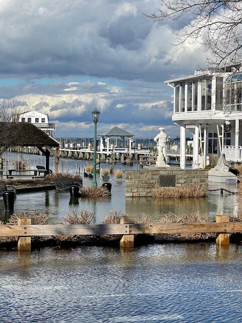
Someone actually drove through water and they got stuck. The police had put up the warnings but people drove through it. Gotta love it.
- 90 replies
-
- 3
-

-

-
- flooding rains
- damaging wind? squalls?
-
(and 2 more)
Tagged with:
-
- 90 replies
-
- 4
-

-
- flooding rains
- damaging wind? squalls?
-
(and 2 more)
Tagged with:
-
2014-15, I was going to argue, had a long lasting snowpack after late January blizzard and I remember Port Jefferson harbor majority frozen with people able to walk out decently far on ice on March 1 (I have pictures.) but I get what you are saying - December is lost. And no matter what early January brings we probably lose it for several weeks until (unless?) SSWE effects possibly change the pattern. Still if we can approach average snowfall but do it within a few weeks that is a positive.
-
Hey Ed - I’m near you up right next to Sweetbriar. My station showed 20.8F … close enough with yours. Either way for all of us, ann Old fashioned cold December night last night. just an aside - my weather station shows 6.79” of rain this month. Curious if you’re in that ballpark.


