jm1220
Members-
Posts
26,026 -
Joined
-
Last visited
Content Type
Profiles
Blogs
Forums
American Weather
Media Demo
Store
Gallery
Everything posted by jm1220
-
Until something gets to within 72-96hrs take it with a big dose of suspicion. The situation with the AO/NAO may improve somewhat but still not ideal so we have the same risk of too progressive or too amped. We have plenty of cold nearby but there's the risk it gets mistimed between storms. The wavelengths are shortening now so we may luck out regardless. Bluewave/Don I'm sure will have good stats to describe our odds in this upcoming pattern. I'll be looking forward to the warmth on Sun/Mon even though rain comes with it. If the snow's done, last thing I want are more pointless cold shots. Let's just warm up and be done. Hopefully the backdoors aren't too frequent this spring unlike the last few.
-
Yep, those warm SSTs are a blessing and a curse. We get pounded by the coastal storms but the ridge also gets amplified.
-
Well NW and up the Hudson Valley I’d give it an F. Albany has 24” and their season average is in the low 60s. Highly doubt they come close to making that gap up. That’s a disaster for them. Scranton is still under 20” so an F there as well.
-
I’m at about 29” which is slightly below normal for the winter if there’s nothing else. I think @NorthShoreWX has 34” a few towns east of me. I’d give this winter a C if we get no more snow.
-
This season is a very sharp reversal of last winter for snow. The bonanza zones in E PA and N NJ are way below average this year and New England way better. Boston taking Central Park to the woodshed with over 50” so far, above normal and Central Park 17.5” which I’d say is well below. Last year both were tied. In many respects this winter is acting more like a typical Nina other than the couple of suppressed systems. The +AO shafted us.
-
Post here all you like, any good contributions are welcome. But your payment will be your home/cabin during a 2-3 foot event off Lake Ontario.
-
Sun is out and temps are finally in the upper 30s. Ice is gone except for shaded spots.
-
If it was 2 degrees colder, much of NYC and northern LI would’ve been in a lot of trouble. The heavy precip rate meant that with it being 30 instead of 28 much less accreted.
-
The south shore was able to get up to 34 while we were stuck at 30 up here. If it was 2 degrees colder during the heavy precip I doubt I’d have power right now since the heavier ZR ran off. The LIE is where the topography changes and becomes much more hilly to the north, so cold air can hang on tougher.
-
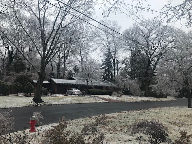
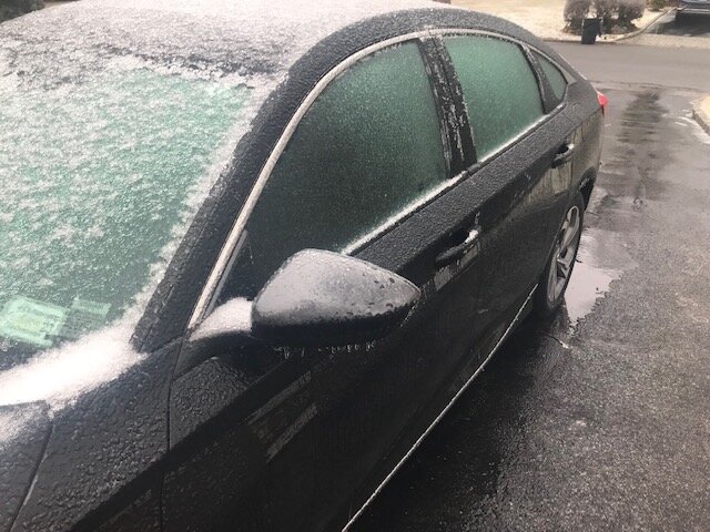
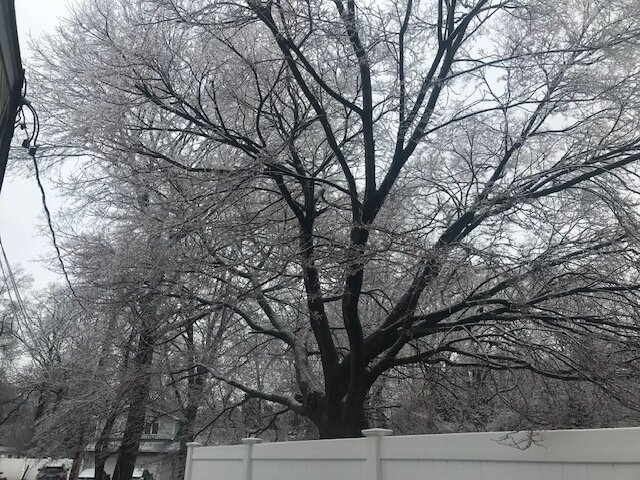
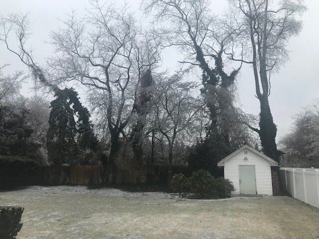
Some photos just taken. The ice is slowly starting to melt off so I think we're just above freezing.
-
That was always an iffy area even though maybe up to Albany might’ve gotten shafted. The I-84 area was always on the bubble and lost out from the inevitable warmer trend at the mid levels on these.
-
Temp ticking up to 31 now. The ice accretion helps it warm up-the freezing process releases heat. Seeing the heavier rain run off but most surfaces here are totally iced up.
-
Every model I can think of had it above freezing from the city on east and it’s 29 here now. I don’t think any model ‘won’ on surface temps. Mid levels I would think the Nam won? As usual that part was undermodeled.
-
Wherever you are hopefully that’ll be us soon. Much more ice here and power outages will start to become a problem.
-
Some sleet but mostly ZR here with this batch. Ice is thickening up on branches and some are sagging a little. Total icy mess. Temp 29.
-
As usual. The warm push in the mid levels is almost always under modeled and the Euro is often too cold.
-
That was good. It’s why we shouldn’t go based on those ZR accumulation models. If it’s 30-31 and heavy rain it mostly runs off not accrete.
-
Coating of sleet on the ground, with a decent glaze on trees/cold surfaces. Freezing drizzle continuing, temp 31.
-
NWS down to a coating-1 inch for the city and anyone on LI before the washout. So I guess the advisory's for the possible glaze of ice? I hate SWFEs, the one in 10 that miraculously work out here aren't worth my interest. They're climo-reminder, rich get richer gradient storms. Screw that. And they have the Lucy raising the football last second north trends too.
-
Could be -20 right now. When winds switch to easterly it won’t matter and it’ll warm right up near the coast. That’s our problem.
-
Very brief snow to couple hours of sleet to rain for us. I’m thinking an inch or two of crud mostly gone at the end.
-
Ice definitely, I-84 and anyone inland more than a few miles NW of the city won’t get any plain rain. But snow looks focused along I-90. It’s where these usually end up.
-
It’s the usual SWFE last minute north push. This has been well behaved for one of these. Not much changes for us other than what falls initially probably washing away. Around I-84 might get cut back for accums a good amount from the north push, that was the area hoping the south trend was real.
-
With the last minor ice event it was 31 and accreting pretty efficiently with little snow left from the 1/29 storm here but that was with light precip. Heavier precip will tend to run off.
-
RGEM looked essentially the same to me. Be careful about the freezing rain output, it's likely overdone. Any precip as rain 32 or below it'll show as ZR (won't all accrete) and it assumes all precip that hour will be ZR. Of course it won't take much ZR for major problems though. A lot of that ZR it shows will hopefully be sleet.


