jm1220
-
Posts
26,172 -
Joined
-
Last visited
Content Type
Profiles
Blogs
Forums
American Weather
Media Demo
Store
Gallery
Everything posted by jm1220
-
That was a nice NAM run for just about everyone NW of I-81. Hopefully maybe a tick or two more SE so Harrisburg can get it too. There may be some help from ratios too, Kuchera shows over a foot for I-99/Rt 220 corridor.
-
As soon as the models started bumping north with the snow yesterday and Mon night, it was clear the best snow would be inland and along I-84 where many in that area had 5”. It’s too bad this wasn’t a month earlier and 3-4 degrees colder. This would be a 6-8” snow area wide if that was the case. Islip I think came in with near 0.7” liquid so the higher QPF did work out. But the high sun angle and lousy ratios killed it. The Kuchera maps that took this into account were the best.
-
I think the park came in with 0.4” at 7pm.
-
Seasonal total of 31” now. 2” or maybe a little over for the final here.
-
Models were too warm here at the end just like last event. In the cold areas of LI at least it was able to get down to 32 overnight, where it stayed as the snow moved in. Models predicted 36-37 and a change to rain. That made the difference. Unfortunately the city and immediate/south shore didn’t cool down overnight as much and couldn’t evap cool very much, so it was rain or snow that didn’t accumulate much.
-
Light rain/drizzle. Temp still 33. Wonder if we can get a few degrees below freezing tonight and freeze this all up.
-
That was an I-90 focused storm. So the part of I-81 near I-90 like around Syracuse did OK but they’re also way below average this winter.
-
I’m hoping the I-81 corridor can finally have a nice event this season. They’ve been shut out all winter.
-
I live in a relatively elevated, cold part of Long Island so I was hoping for something out of it but a nice ending to the winter and gets me to just about seasonal average. I’m at 31” after this event (assuming this is it). Just south of me near the south shore has pretty much nothing or had white rain all day. Very marginal where anything helps.
-
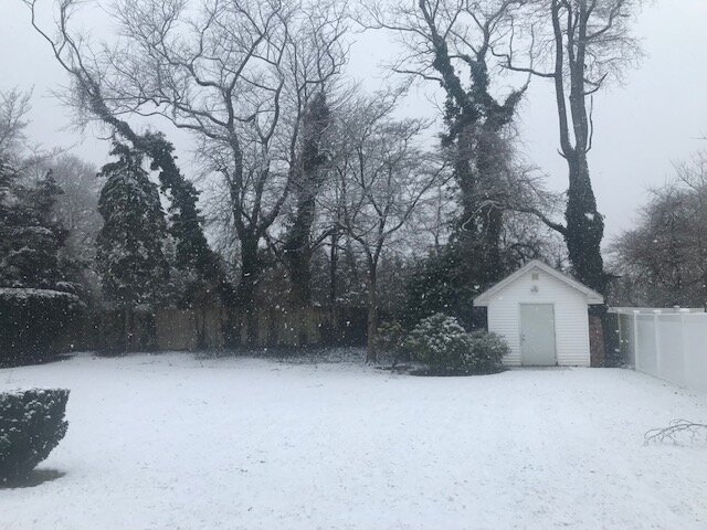
I have about 2” here in northern Suffolk County. Looks like we’re about done but moderate snow/sleet/grauple now.
-
2”. Moderate snow/snow grains/sleet. Road is slushy.
-
During my time at PSU in State College 2005-09 it was either coastal storms that did not spread any snow inland or raging sleet storms for the most part. Other than a few decent winters here and there since, it’s been disappointment for that area. For me it’ll be driving rain and wind but hopefully a nice event for you guys to end the winter. Looks like a nice event today. Near warning level for most of you guys?
-
The changeover line looks to be stuck on the barrier islands. With this activity coming from the west and declining sun maybe we can accumulate some more.
-
Wow, heavy snow again with a little sleet.
-
Back to moderate snow here. No rain yet.
-
Snow picking up again with some sleet.
-
Looks like a Round 2 coming, maybe some additional accumulation if it can be mod-heavy.
-
Elevation probably played a role. I’m at 200 ft while the shore definitely isn’t, and I’m further inland where it radiated better last night and we started off colder. That said it’s tapering off now and probably not much additional accumulating with the high sun angle and it being 33. This would be 4-6” if it was a month earlier with a few degree colder temps and better ratios. I guess it’s a decent winter sending though. In Long Beach it did snow for a little while but now it’s back to light rain and nothing stuck. This time of year it gets tough for the city and shore unless it’s quite cold or at night.
-
Good luck out there. I know it’s been atrocious for snow this winter in PA so hopefully this one can score for you guys.
-
Heavy snow with huge flakes. Street is covering fast.
-
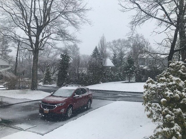
Moderate snow. About an inch here I’d say. Slushy on paved surfaces.
-
Not surprisingly it’s rain in Long Beach with temp 37-38.
-
Sticking to cars, trees and cold paved surfaces. Street is wet.
-
There is up here, maybe a little more.