mob1
-
Posts
2,794 -
Joined
-
Last visited
Content Type
Profiles
Blogs
Forums
American Weather
Media Demo
Store
Gallery
Everything posted by mob1
-
Also known as "winter in the NYC metro area". Our slam dunk snow events are few and far between (and need to be cherished).
-
Even 3 is likely a pipe dream for us. Even 1 seems like a stretch. I'm expecting something similar to what we had yesterday (maybe half an inch of slop).
-
Approaching 4 inches in SI (have about 300 feet of elevation), definitely more than I expected this afternoon.
-
It's a great development if most falls after sunset
-
Probably just downslope shadowing from the 14,000 foot peaks of the Morris county mountains.
-
The ones on the Connecticut coast are likely too warm for SE areas verbatim. I guess it also depends on the trajectory from there, if the orientation of the front is WSW to ENE it's probably fine for most. Either way, it's a trash product.
-
Of course (I live a few miles from you and actually grew up near Coney Island so know the climate well), it's so frustrating.
-
Every single model has trended towards moving the heaviest precipitation west of us. You're relying on a front to move through and falling temps, and I think you've been doing this long enough to understand that we usually cool slower than forecasted and with lighter precipitation you'll have BL issues even if it's sufficiently cold aloft. If the axis of heaviest precipitation moves back east a bit on models I'll be more confident, but right now I think you're setting yourself up for a major disappointment.
-
By 1.7 miles. The storm is in 48 hours, that shift means nothing. It's more about whether it's right in the first place, but recents trends have been worrying.
-
It's still terrible for most here
-
.thumb.png.19ced1322d396abc4b319fda74e90d12.png)
-
Man, weather really messes with your psyche.
-
For this weekend's event; Tony is going with the precipitation shield of the RGEM, low and boundary placement of the EURO, and for temps he's going with what models have for Tuesday morning - then he can always adjust snowfall totals upwards if needed.
-
I don't understand how, after all the disappointing trends you've lived through, you can still so confidently proclaim this. Weather is always transient and ever-changing (which is why forecasting is such a humbling hobby).
-
We're relying on good timing to be on the right side of the boundary, and very often these fronts slow down a bit as we get closer to the event. Rain (even a bit inland) is always a possibility. Hopefully we'll see some positive trends today.
-
Yeah, this is quickly becoming an away from the coast event. Would suck here, but at least the ski resorts would get some love.
-
I ski Sugarbush at least 3-4 every year (It's quite the trek from NYC but well worth it) and always found that as a no frills resort (for the most part) they tended to open terrain with limited snow coverage and it added to a sense of adventure. It hasn't been the case in recent years so I wonder if it's a safety thing required by Alterra.
-
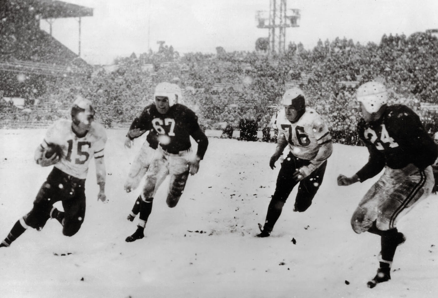
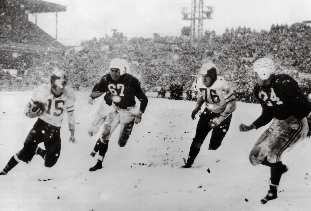
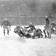
In 1948 (well before the Superbowl era)

-
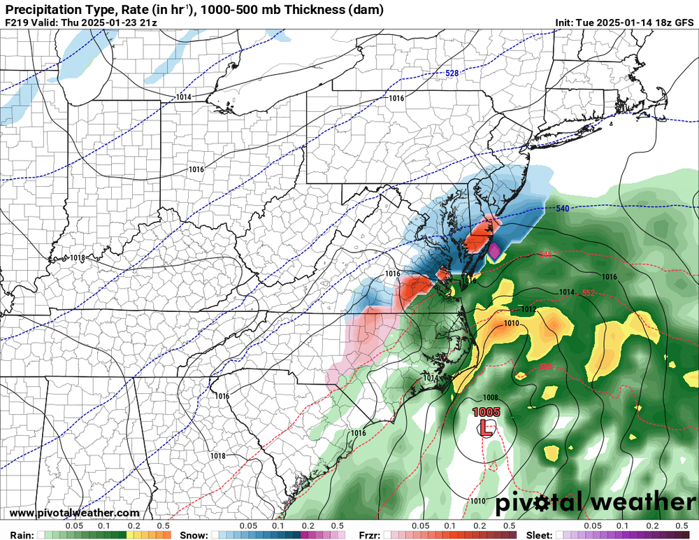
18Z Euro is pretty much 0.75-1.5" areawide.
-
GFS is honestly not that far off for the second threat. Ends up climbing the coast.
-
Comes up the coast afterwards. Fantastic run.
-
So many different outcomes...

-
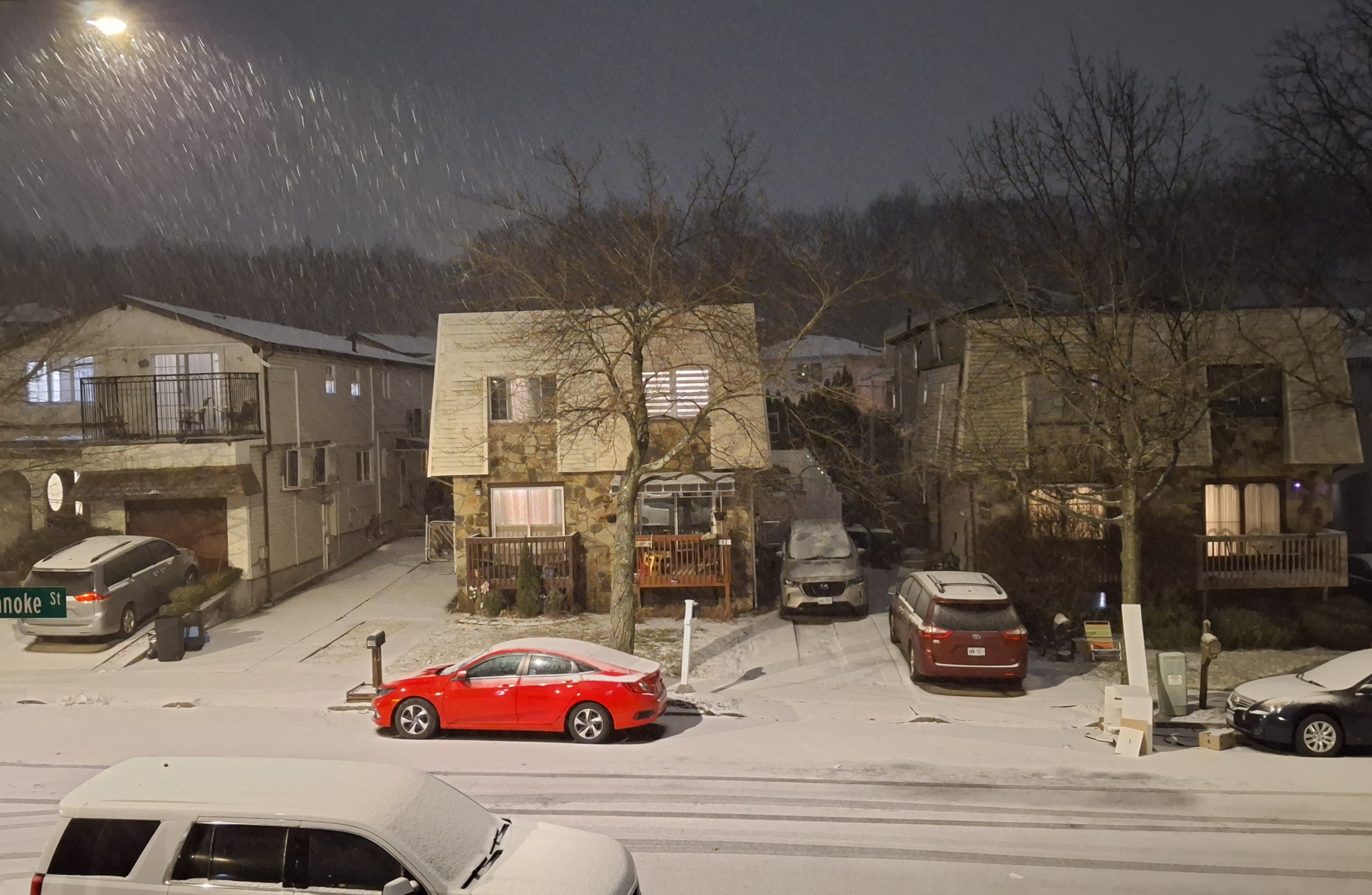
This would be something else


.png.e404c9a6f8f82ceaede1b9d02dfa7185.png)