Terpeast
-
Posts
6,687 -
Joined
-
Last visited
Content Type
Profiles
Blogs
Forums
American Weather
Media Demo
Store
Gallery
Everything posted by Terpeast
-
2.5” already
-
Didn’t miss a step. Like, what dry slot?
-
Yeah, looks like a bit of a lull but it won’t last long
-
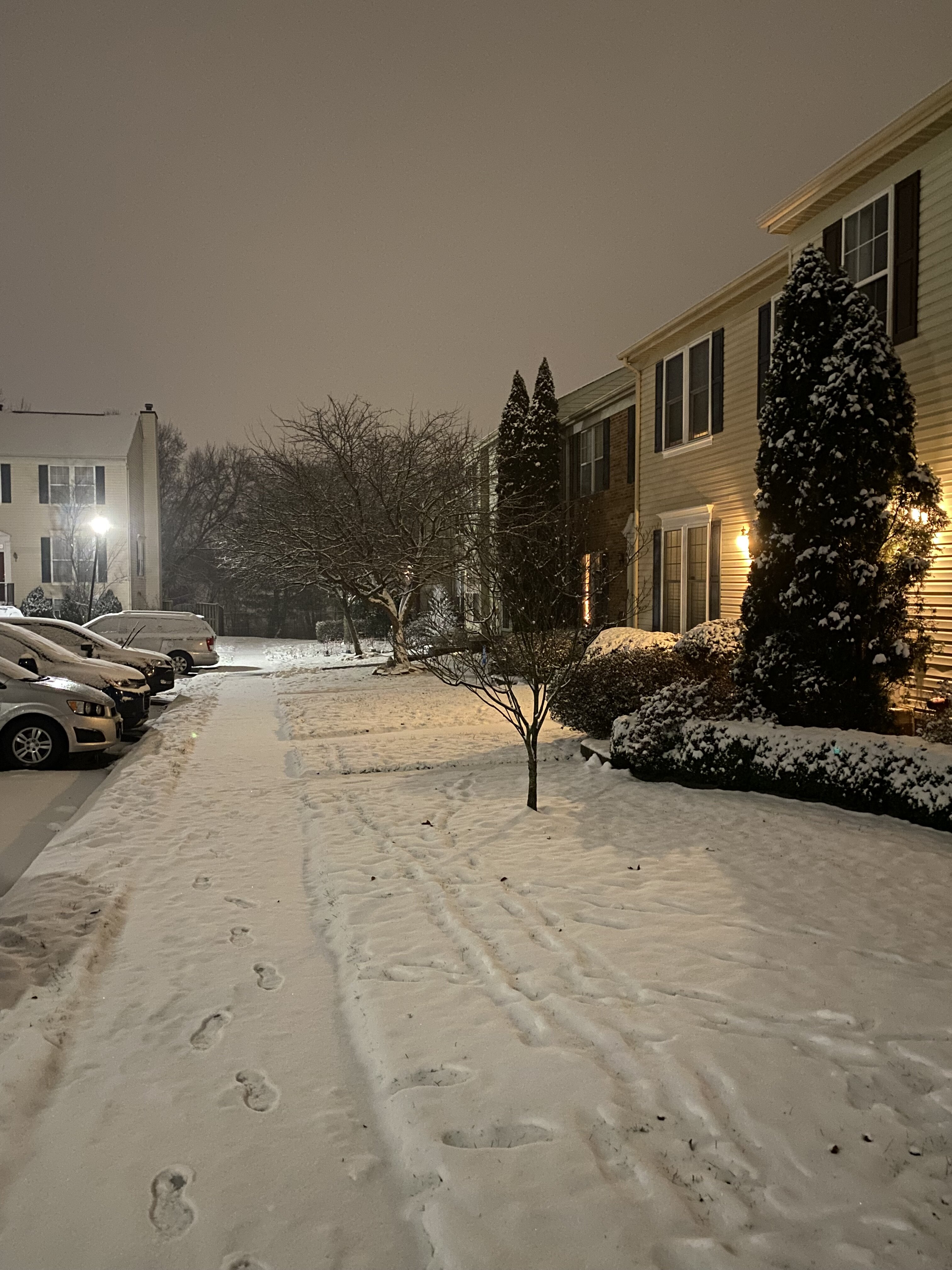
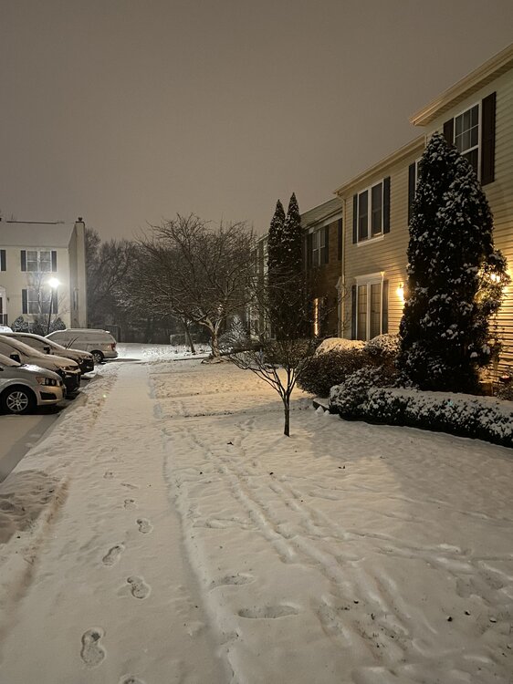
Just went to get the mail. My wife is learning the concept of the “jebwalk” 2 inches and coming down good
-
Slanted. Give it another 5 minutes and you’ll get credit for breaking the streak
-
That’ll put most of us in the 4-5” total range
-
Looks better. Was using a different radar app that made it seem drier though.
-
Hoping that dry slot north of harrisonburg fills in before it gets here
-
I believe it. DC was under better banding most of the day
-
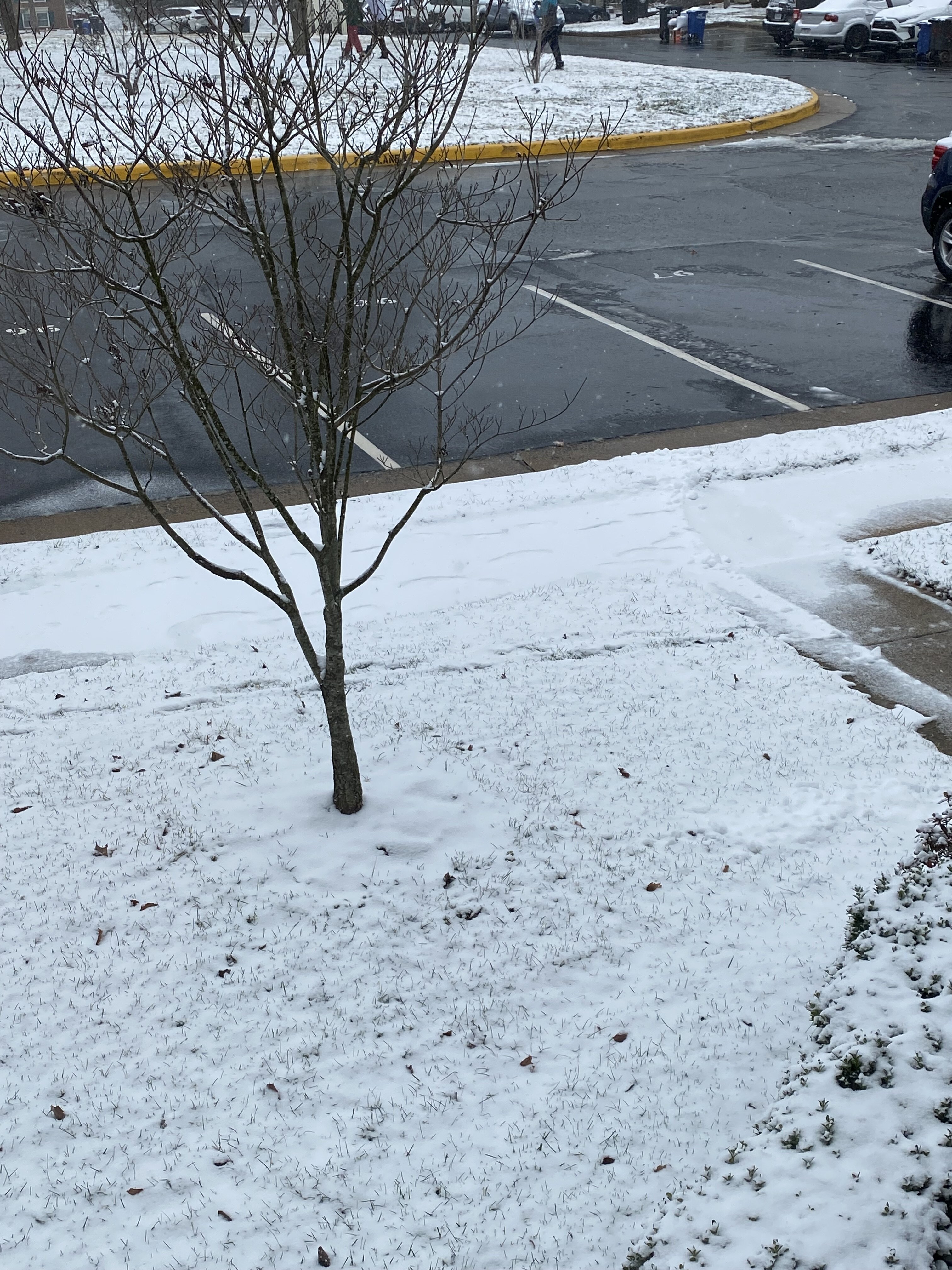
Mod snow, 1.5” snow depth. I didn’t clear any board every 6 hours or anything like that. True total might be somewhat more than that.
-
That was fast. Roads caved immediately once rates picked up. Will be at 2” by 7 pm
-
Road starting to cave
-
Just noticed them pushing north, hopefully they fill in quickly
-
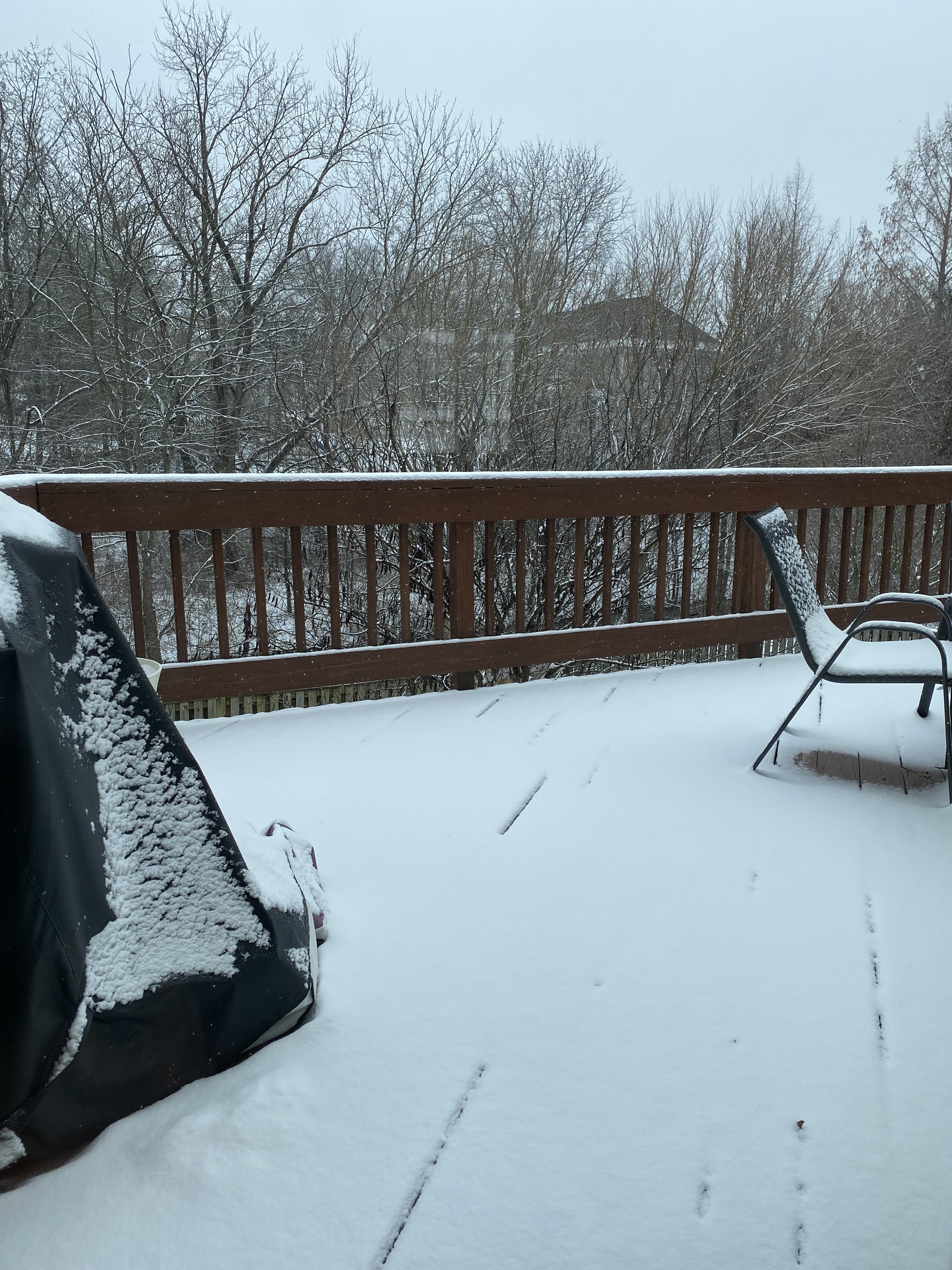
Took the kid out sledding and made a snowman with her. Really nice to get off the radar and the models for at least an hour. This is what we live for, don’t we?

-
Judging from radar, I expect to see a slight lull in rates before picking up again this evening. Unless that moisture to the south pushes north of 50.
-
Maybe they'll think twice about burying the NAM. I haven't looked at the models today. Between working (if you can call it that) and watching the snowfall outside with a hot chocolate... it's nice to take winter all in at my new house. It's been a minute. Bigger flakes, legit light snow, despite what the radar says. Moisture feed from Alabama/TN looks juicy
-
Right? We weren't supposed to have an inch by now. I was assuming the snow would start mid-late afternoon anyway
-

-
Calling it an inch
-
Nominate this for meme of the day
-
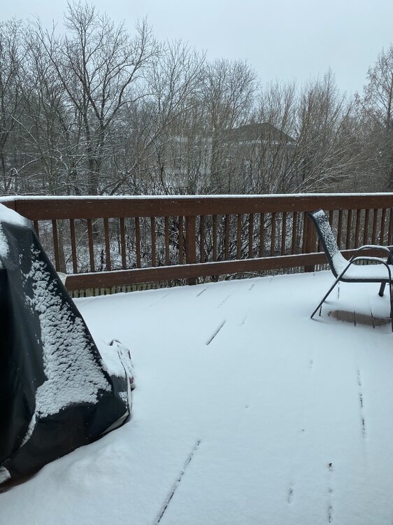
I thought sun angle was just a meme, but it’s real. Beautiful scenery, zero work productivity
-
Think I’ve reached an inch, or will soon. Light snow 27/24. Sidewalks are gone, road is stubborn
-
Jan Medium/Long Range Disco 2: Total Obliteration is Coming
Terpeast replied to Jebman's topic in Mid Atlantic
Gotcha, thanks. The threading the needle part was on thermals, not NAO. -
Jan Medium/Long Range Disco 2: Total Obliteration is Coming
Terpeast replied to Jebman's topic in Mid Atlantic
What about the 2006 storm? Not sure of the NAO on that one. I got over a foot out of it -
Sidewalks caved, visibility noticeably lower