Terpeast
-
Posts
6,687 -
Joined
-
Last visited
Content Type
Profiles
Blogs
Forums
American Weather
Media Demo
Store
Gallery
Everything posted by Terpeast
-
Intensity hasn’t let up here yet, but based on radar it may do that soon
-
Hope it pivots over DC metro, but HRRR does that just NE into balt and delmarva
-
Didn’t realize we got upgraded, that’s two upgrades in one week. Don’t remember that happening any other time in my life
-
Looks like I’ve been getting pummelled for at least 2 hours per radar
-
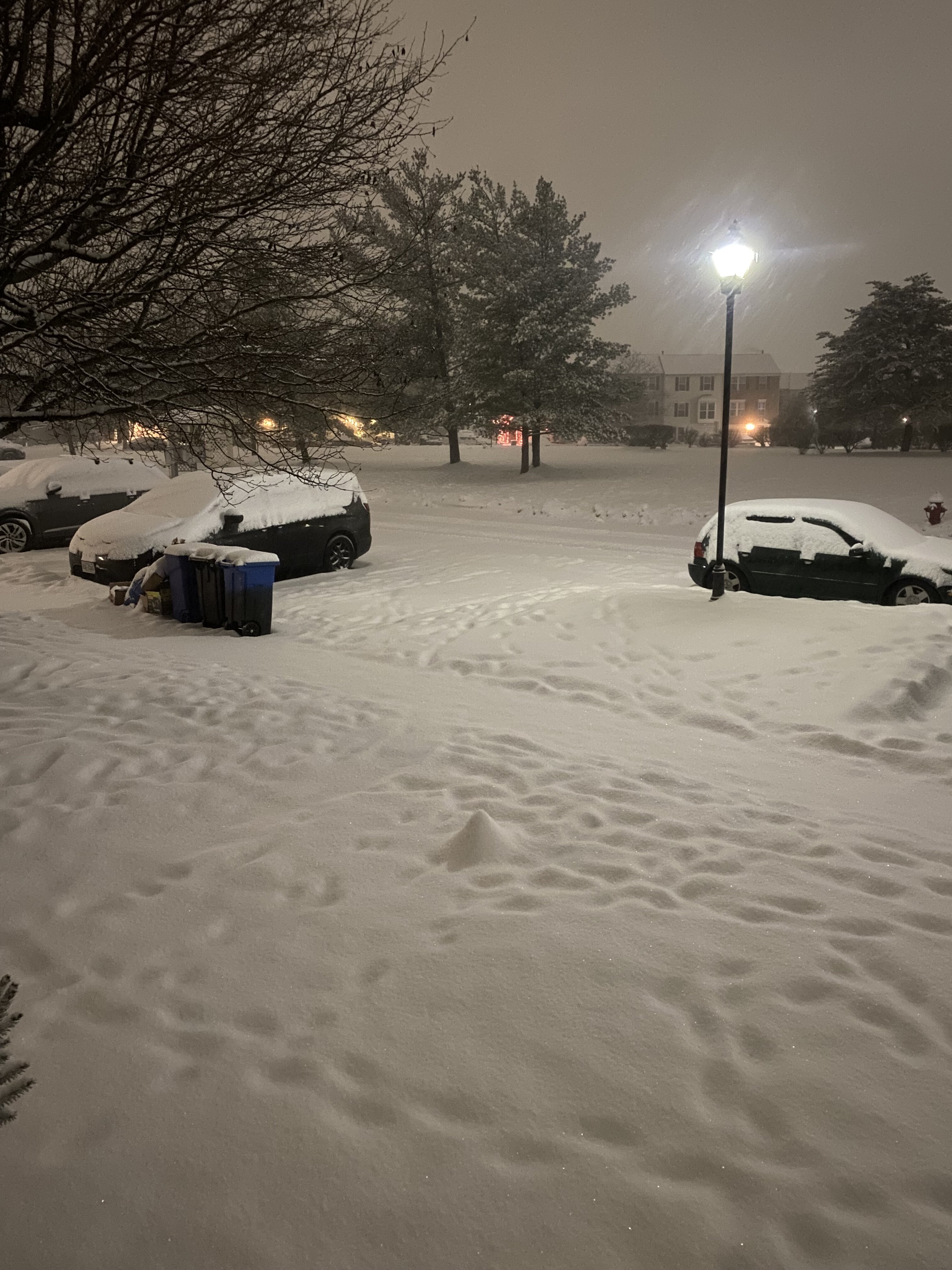
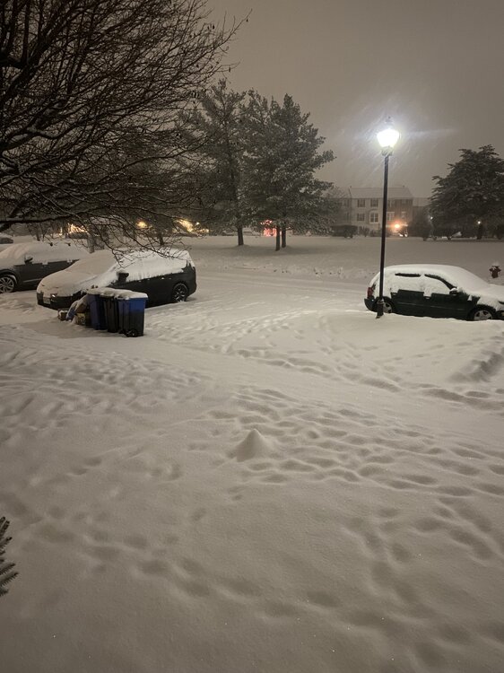
Woke up to this. Heavy snow, 25. Eyeballing it looks like 2” give for take will measure later
-
Nice, should be a great event out there for you. I considered a trip up that way again this year but that was before Monday’s event. 29/21 down here in ashburn, nothing reaching the ground yet. Sfc temp has been slow to fall, so the column is gonna need some work. Hopefully that lead wave does that prep work before the main show
-
Where? Alexandria or Mchenry?
-
Seems they’re laying down advance reasoning why they don’t intend to upgrade to a warning. At least it’s not a step back from a general 2-4” dc north and 1-3” south
-
Looks like 2-4 area wide with locally 5"+ northern MD and delmarva/NEward
-
It's more obvious over the delmarva
-
Moves out of DC area around 21z
-
Still snowing 18z. Last run it stopped by then
-
Likely a hold
-
Also, LWX mentioned possible CSI. I've seen that before and that kind of snow can pile up in a real hurry
-
If they’re gonna upgrade, they should do it before bedtime for most folks
-
Fredricksburg to Harrisburg, winchester to bmore
-
Difficult call for LWX to make. Upgrade to warning or keep it as advisory level, considering tomorrow’s commute? 30/20
-
31/20 ashburn. No word from Loudoun county schools
-
Jan 19th Snow on Snow: the this always works until it doesn't thread
Terpeast replied to psuhoffman's topic in Mid Atlantic
Mid-atl forum: Violent mood swings that bond us for life NYC forum: Never gon’ snow again because mjo is stuck in 4-7 for good NE forum: Let’s hope that high presses down to give us a SWFE event and read 40/70 detailed forecasts That about right?- 824 replies
-
- 19
-

-

-
Broke freezing for a high of 33, but barely any melting
-
Jan 19th Snow on Snow: the this always works until it doesn't thread
Terpeast replied to psuhoffman's topic in Mid Atlantic
Was looking at pivotal, but it's probably a wash if not a little better with 18z especially DC south -
Jan 19th Snow on Snow: the this always works until it doesn't thread
Terpeast replied to psuhoffman's topic in Mid Atlantic
Dunno, it seems more spread out and evenly distributed. South of DC to EZF will be happy with this run Kuchera looks better though -
Jan 19th Snow on Snow: the this always works until it doesn't thread
Terpeast replied to psuhoffman's topic in Mid Atlantic
Looks like a hold. Vort passes south of us, qpf seems similar if not a hair less -
Jan 19th Snow on Snow: the this always works until it doesn't thread
Terpeast replied to psuhoffman's topic in Mid Atlantic
Bit slower, but also drier -
Jan 19th Snow on Snow: the this always works until it doesn't thread
Terpeast replied to psuhoffman's topic in Mid Atlantic
Snow moves in at 9z