-
Posts
882 -
Joined
-
Last visited
Content Type
Profiles
Blogs
Forums
American Weather
Media Demo
Store
Gallery
Everything posted by Intensewind002
-
Was 87/77 here earlier with a heat index of 99, down to 85/77, so not necessarily much better. Wildly enough I have zero 90s this summer, max has only been 89
-
81/78 here right now
-
As is tradition
-

2024 Atlantic Hurricane Season
Intensewind002 replied to Stormchaserchuck1's topic in Tropical Headquarters
Yeah kinda, I have a sister who is ten years younger than me and it seems like it’s more of a high school thing to actually talk like that. I mean some of my friends will use it in an ironic way though as a joke lol -

2024 Atlantic Hurricane Season
Intensewind002 replied to Stormchaserchuck1's topic in Tropical Headquarters
Maybe lmao, half the older gen zs dont even know it -

2024 Atlantic Hurricane Season
Intensewind002 replied to Stormchaserchuck1's topic in Tropical Headquarters
Damn I thought I was the youngest person on here too lol. I’m 24 but I always assume everyone is at least a decade older than me -
Maxxed out at 90 here in Lindenhurst, I believe that’s my first 90 of the year
-
It’s 84 here in Lindenhurst right now, so even a few miles farther north it’s a massive difference
-
I swear, I go on twitter and it seems like everywhere in the country except around here had clear skies with all these perfect pictures. I stayed up until about 3 AM waiting for the clouds to clear but saw nada lol. From what I’ve read you were really only able to see it through long exposure pics so I guess i didn’t miss much. Looks like tonight is going to be less intense so only rural areas will be able to see it without clouds.
- 1,603 replies
-
- 1
-

-
- spring
- cool temps
-
(and 3 more)
Tagged with:
-
Peaked at 83 here before the seabreeze moved through down to 77 now
-
Bottomed out at 33.9 last night, pretty impressive.
-
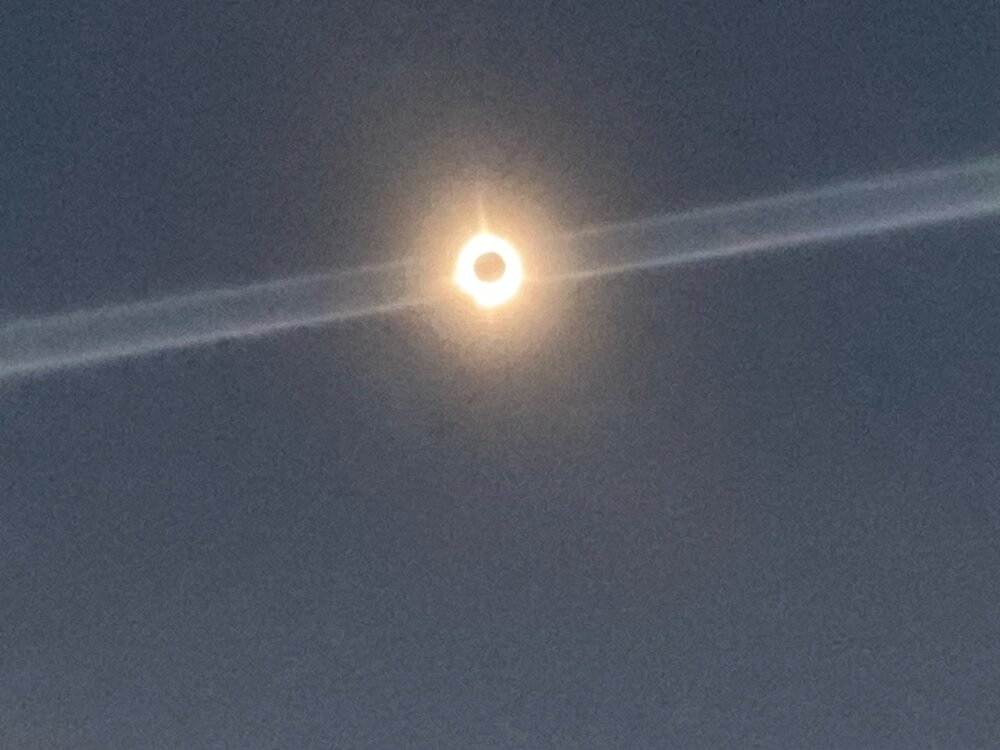
Just glare from my crappy phone quality unfortunately, I was able to see the ring of fire perfectly in person but it caused a lens flare when i took the pic.
-
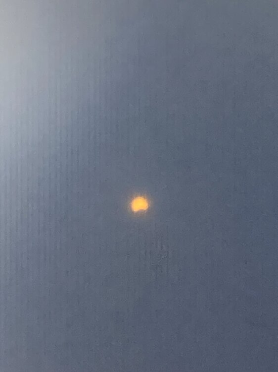
Absolutely amazing, my phone camera did not do it justice. Was literally night for a couple minutes, jupiter and venus were visible too
- 308 replies
-
- 11
-

-

-
-
Almost sounded like a huge gust of wind here, then I realized my windows were closed
-
Holy shit just felt an earthquake here in Lindenhurst
-
Winds seem to be picking up again, Ill admit I was wrong when I stated the winds were only gusting to the 40s some widespread 50+ in the lastest PNS https://www.weather.gov/media/okx/windpns.pdfhttps://www.weather.gov/media/okx/windpns.pdf In terms of rainfall, 2.24” here in Lindenhurst. On a side note it looked like a tropical storm outside at times with the heavier rains earlier today, definitely didn’t feel like one though with the wind chill around 30.
-
Im going to have to agree honestly, peak gusts were probably around 45 mph or so here. There were definitely worse storms wind wise this past winter.
-
9.01” is my monthly total for March here in Lindenhurst, hopefully as we move deeper into april a drier pattern emerges. Happy Easter everyone!
-
Final rainfall total here in Lindenhurst of 2.21”
-
Recorded a gust of 38 mph on my somewhat sheltered station, been gusting to around 50 at the airports

