MN Transplant
-
Posts
17,844 -
Joined
-
Last visited
Content Type
Profiles
Blogs
Forums
American Weather
Media Demo
Store
Gallery
Everything posted by MN Transplant
-
The rain is great, if it wasn’t surrounded by the persistent mist for the past 2 days. It has not dried out since it started raining on Friday. Flood watch for Fairfax Co and west today.
-
I’m going to ignore all the places that haven’t reported yet, and radar estimates, and declare myself the three-day winner

-
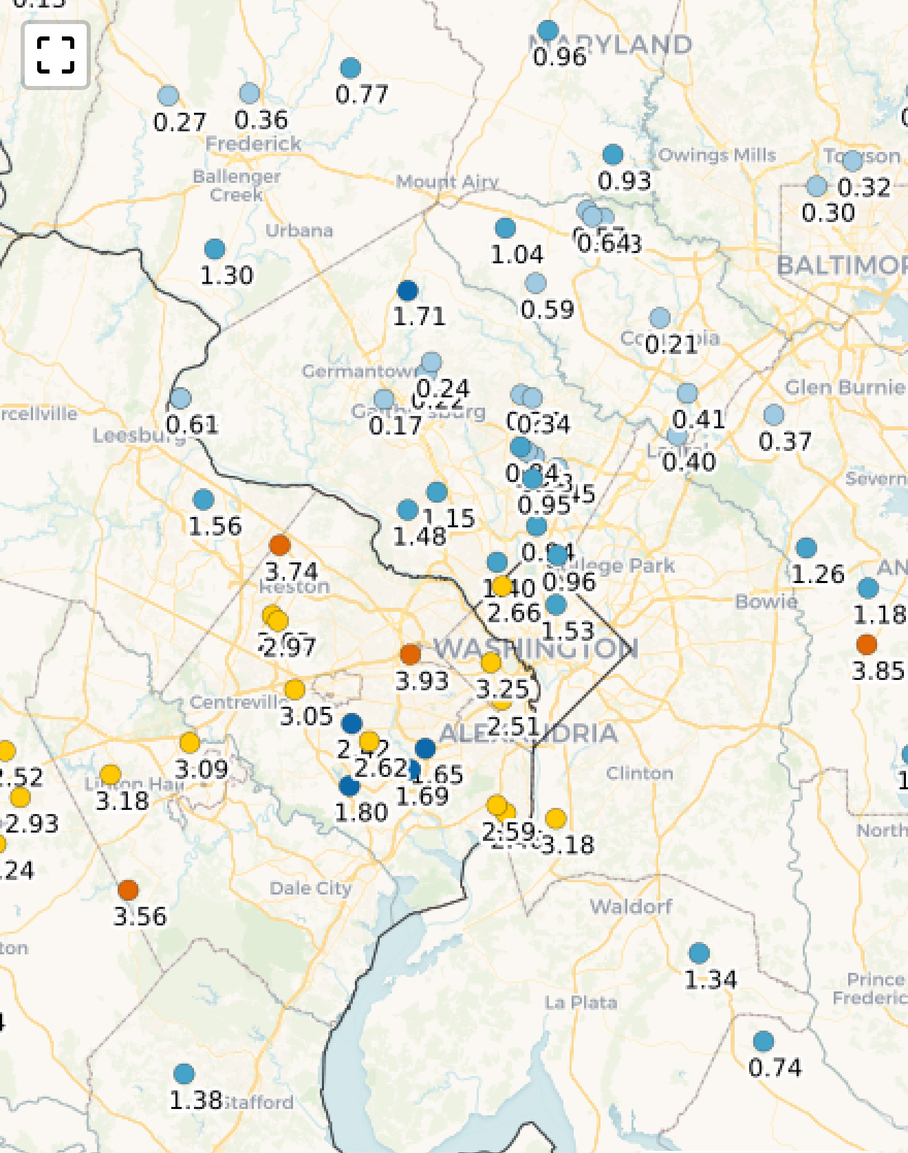
Third consecutive 1”+ CoCoRaHS report. That’s a rarity. Just shy of 4” total. Will be interesting to see the ground truth totals from Burke to Ft Belvior.
-
Not a lot of midnight highs in summer, but got one today.
-
00z Euro has 3000+ CAPE Thursday mid-afternoon and then storms roll though.
- 1,378 replies
-
- 3
-

-

-
- severe
- thunderstorms
- (and 2 more)
-
2.75” across Fri/Sat.
-
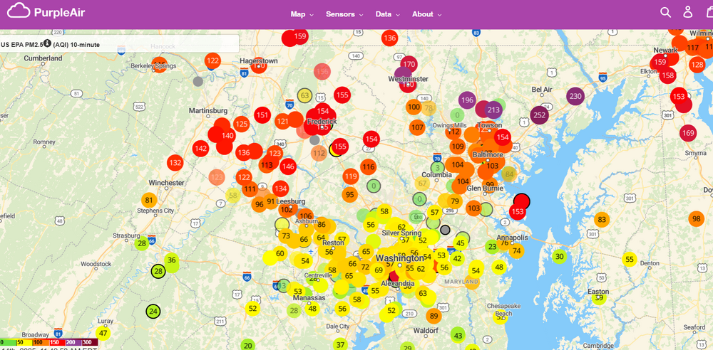
The smoke made it. Gross.
-
Yikes, you all aren't kidding. Nothing noticeable down here.
-
1.3”. Fully successful
-
I haven’t had jack in June until the past 30 minutes. Gotta go to Stephens City for the good stuff.
-
Flash flood warning up for DC and adjacent FFx and MoCo
-
Rain and thunder. Very good.
-
89.4. My first 90 will wait.
-
0.25” in the last week. Not like it is dry or anything, but I’d still rather keep padding the stats.
-
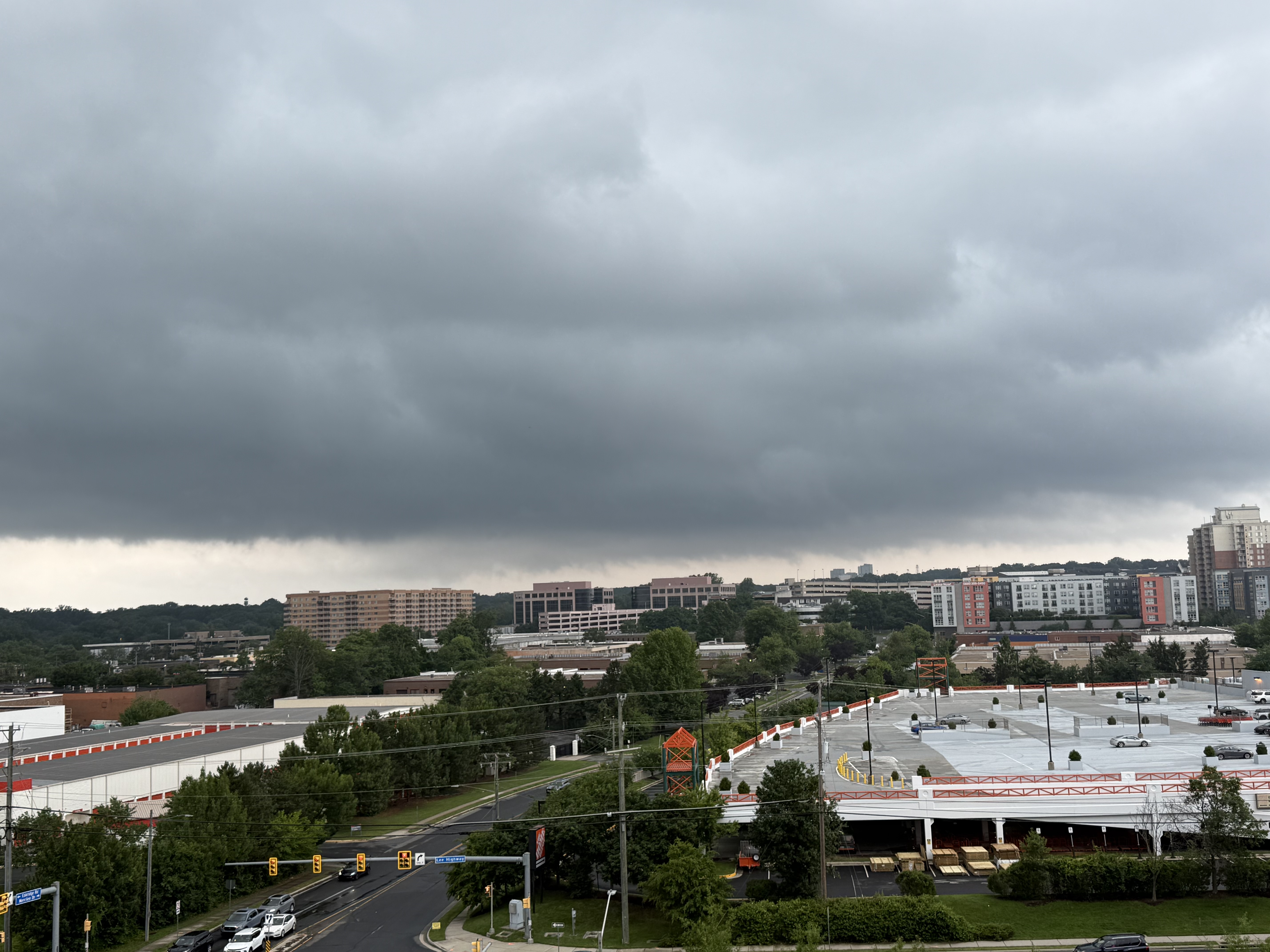
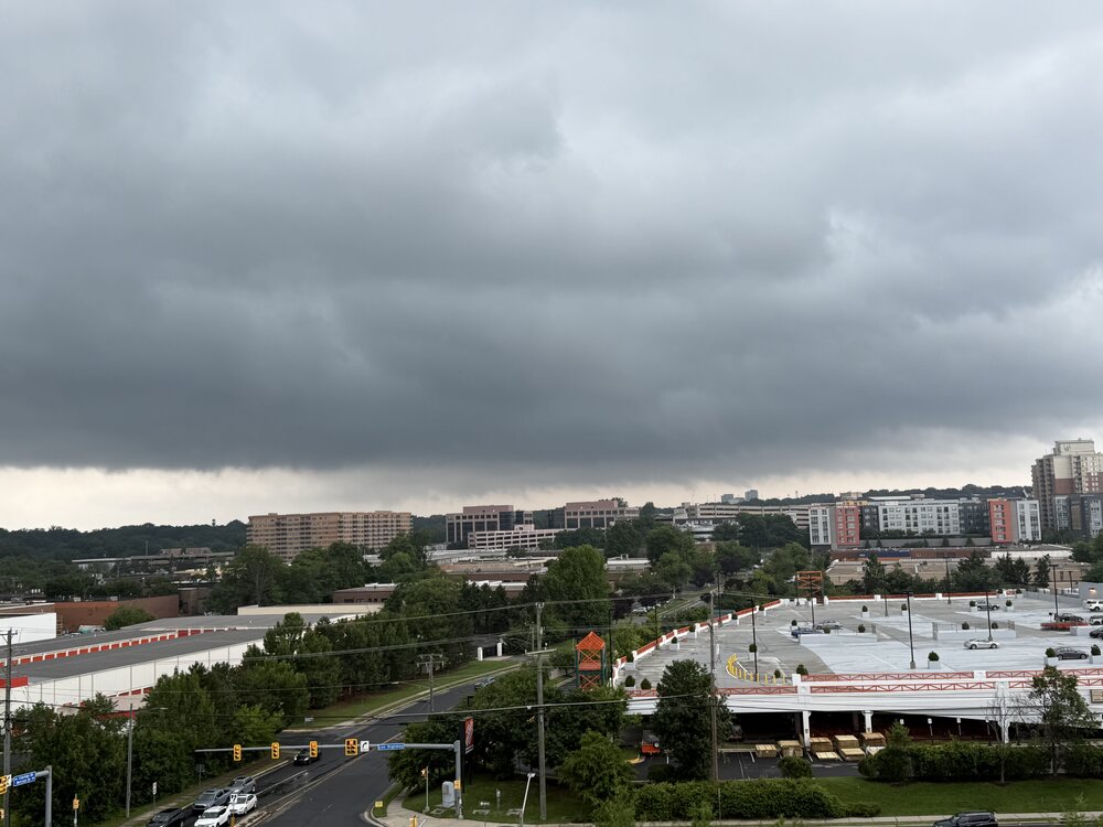
Was out running errands and thought that I’d see if that cell sliding by Tysons would deliver. Never tightened up. Pic from Mosaic overlooking the picturesque Merrifield Home Depot.
- 1,378 replies
-
- 8
-
-
- severe
- thunderstorms
- (and 2 more)
-
Decent is subjective, but there is rotation
- 1,378 replies
-
- 1
-
-
- severe
- thunderstorms
- (and 2 more)
-
We are firmly in splotchy season now.
-
0.10" from this morning. Looks like up to an inch in some of the favored areas of that line as it came through.
-
Tor warning NW of Winchester
-
Models were pretty insistent that the atmosphere 95 and east was not conducive to storms, and that is coming true so far.
-
Funny thing is that I thought it was worse 2-3 years ago and then wasn’t as bad last year during the dry heat season.
-
It is a popular landfall location now.
-
Yeah, that cell blew up perfectly. Probably even better a mile to the south. Only got 0.06” of precip because these are small and fast. Some thunder rumbling now.
-
Hail. Not big, but came down good for a minute or two.
-
DCA gusted to 49mph overnight. 0.66” here takes me to 8.40” on the month. Just a shade behind 2014 and 2018.