Eskimo Joe
-
Posts
24,703 -
Joined
-
Last visited
Content Type
Profiles
Blogs
Forums
American Weather
Media Demo
Store
Gallery
Everything posted by Eskimo Joe
-

Thursday 1/20/22 Stat Padder Discussion and Observations
Eskimo Joe replied to stormtracker's topic in Mid Atlantic
Yes. -
Thursday 1/20/22 Stat Padder Discussion and Observations
Eskimo Joe replied to stormtracker's topic in Mid Atlantic
Put a 1/2" flash freeze snow on all the roads. Let the chaos ensue. Then we feast on cold powder on Saturday. -
It was consistently too far east until we got within 24 hours, then it go in line with the OP.
-
No
-
The 12z Euro had a really nice pass at 500 with the main feature sliding by to the south of DC. That's exactly what you want to see for a solid, cold smoke snowstorm. Given the cold 850 temps and antecedent air mass, 10:1 or even 12:1 snow ratios would be possible. As @stormtrackersaid, this is what we want other models to trend towards. Would easily be the biggest snowfall in the past couple of winter and would put all 3 terminals at or above yearly snowfall.
-
Amazing how once we got cooperation from the Pacific our luck changed. Seems like we really need Pacific cooperation anymore to get food patterns to last.
-
One thing this winter is that everything seems to jump NW last minute and the GFS op has lead the way. Really impressed with it's handling on NS systems, and how NOAA/NWS has been using more recon flights to get better data into NWP for better lead times.
-
Same
-
Keep talkin' dirty.
-
It's fun. Beats weeks of zonal Pacific Puke.
-
It shows snow.
-
Sign me up.
-
Yup, 31 with a few flurries. Not as terrible of a winter as I expected.
-
Good morning from Reisterstown

-
We call that game day.
-
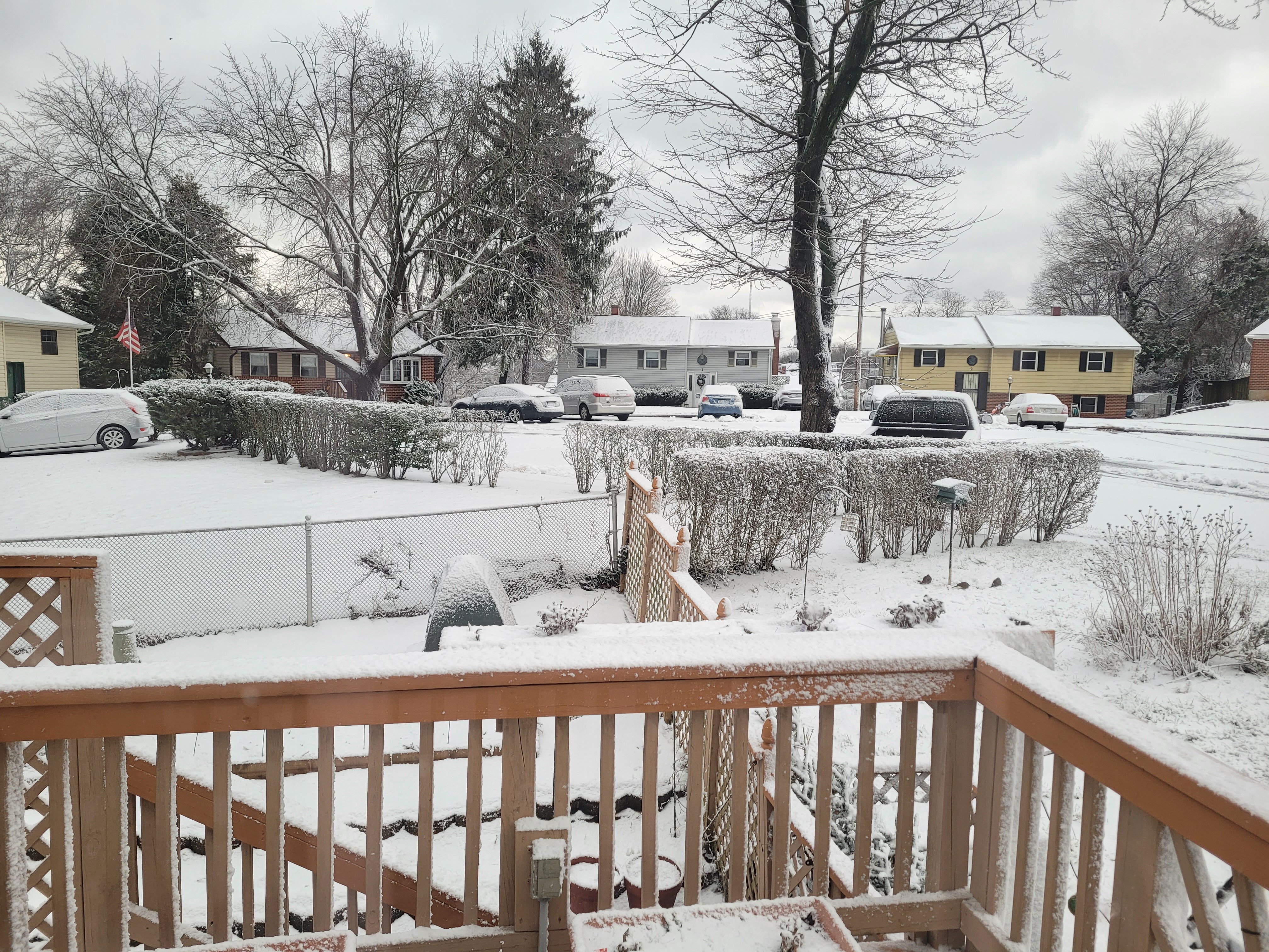
Pounding in Reisterstown and still all snow.
-
This time last year it was lights out in the snow department. Today, we have snow. I love winter.
-
-
Definitely helps to have good cold prior to a storm. We might scrape 4" in Reisterstown. It's pounding.
-
Meso'd
-
Just filling in at the fire department today for their funeral.
-
-
Getting that pre snow smell in Union Bridge.
-
Based off what's happening to our SW, maybe we get a better front end thump?