Daniel Boone
-
Posts
3,542 -
Joined
-
Last visited
Content Type
Profiles
Blogs
Forums
American Weather
Media Demo
Store
Gallery
Everything posted by Daniel Boone
-

January Medium-Long Range Discussion
Daniel Boone replied to Holston_River_Rambler's topic in Tennessee Valley
That's more like it. -
Yeah, a bit more moisture than usual got entrained in the flow.
- 372 replies
-
- 1
-

-
- cold
- arctic blast
- (and 1 more)
-
January Medium-Long Range Discussion
Daniel Boone replied to Holston_River_Rambler's topic in Tennessee Valley
I agree. Yeah, many are gloom and doom for next Winter but if La nina is weak after Nino, should be good. -
January Medium-Long Range Discussion
Daniel Boone replied to Holston_River_Rambler's topic in Tennessee Valley
I'm in hopes that thwarts the MJO mess up. If it can bring back strong blocking that should do the trick. -
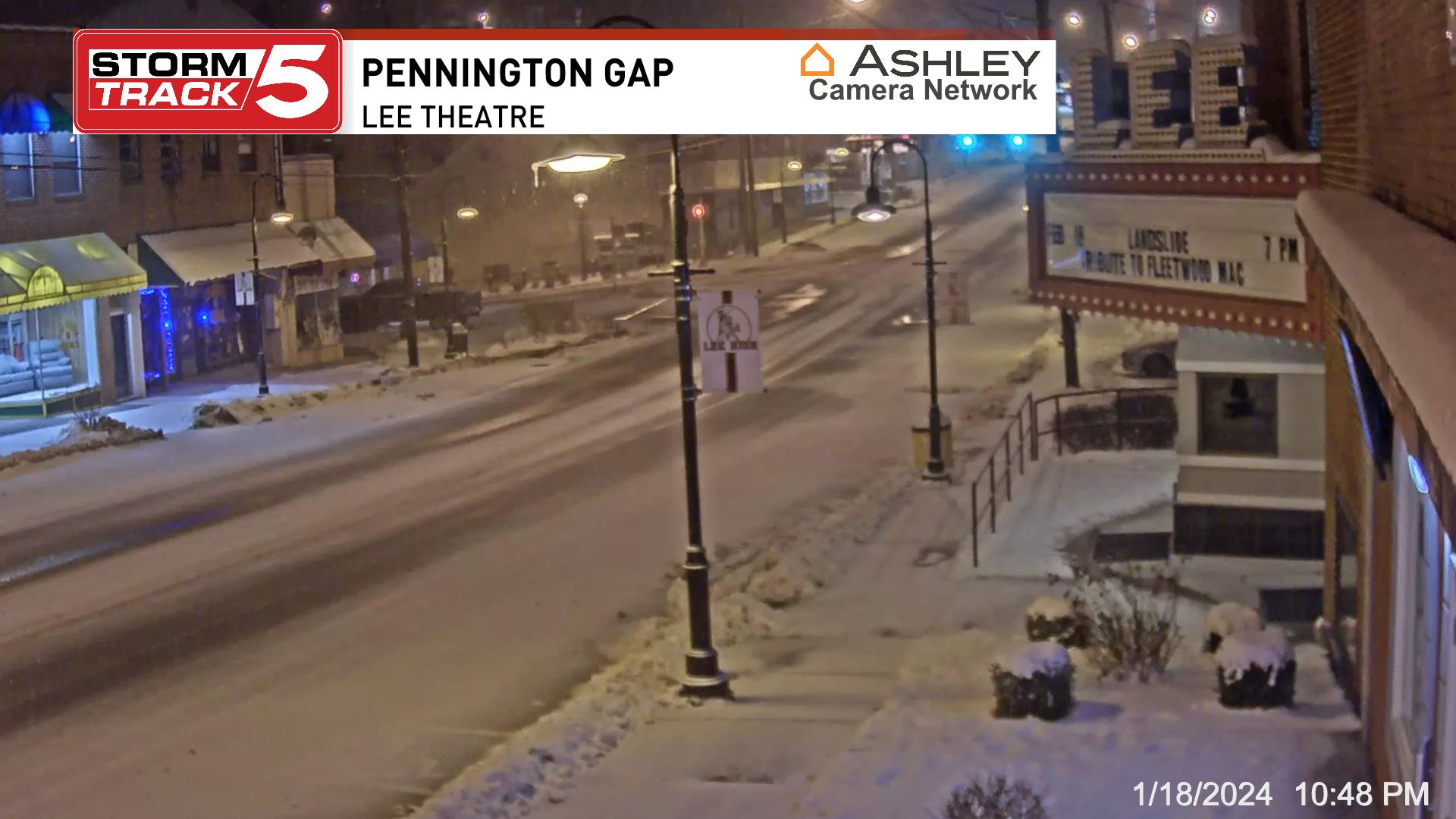
Had a squall go through about 45 minutes ago that dropped an inch . Total for the day of 3" now.
- 372 replies
-
- 3
-
-
- cold
- arctic blast
- (and 1 more)
-
Same here. Another half inch to an inch of fluff on top of the overnight inch so far today.
- 372 replies
-
- 3
-
-
- cold
- arctic blast
- (and 1 more)
-
An inch of new snow here. May be a little more as it's blowing around. Parts of County a couple inches.
- 372 replies
-
- 2
-
-
- cold
- arctic blast
- (and 1 more)
-
Yeah, Hrrr got it partially right. Basically a blend of RGEM and it tonight. Hrrr had all freezing rain for here this evening. The RGEM all snow. We've had both.
- 372 replies
-
- 2
-
-
- cold
- arctic blast
- (and 1 more)
-
It's that warm mid level layer. Heavier rates got through it and cooled that column. Apparently the waa stopped so, that midlayer is cooling with the mixing.
- 372 replies
-
- 1
-
-
- cold
- arctic blast
- (and 1 more)
-
Steady lt to moderate snow here now. Had a pretty good period of freezing rain that iced everything over. Now have a coating of snow on that. Changed back over to snow about 45 minutes ago.
- 372 replies
-
- 1
-
-
- cold
- arctic blast
- (and 1 more)
-
Good news. Hopefully enough cold above 850 and in lower levels that the middle lower mixes and cools enough to turn us all over to snow before long.
- 372 replies
-
- 2
-
-
- cold
- arctic blast
- (and 1 more)
-
The absolute worst scenario for us. Extremely treacherous in every aspect.
- 372 replies
-
- 2
-
-
- cold
- arctic blast
- (and 1 more)
-
Freezing rain sleet here now. Freaking HRRR may score one this time unfortunately.
- 372 replies
-
- 2
-
-
- cold
- arctic blast
- (and 1 more)
-
I assume the further ENE one travels from there the slower snow to sleet changeover or mixing . I expect mainly Snow and sleet here, all Snow Wise on NE.
- 372 replies
-
- 2
-
-
- cold
- arctic blast
- (and 1 more)
-
January Medium-Long Range Discussion
Daniel Boone replied to Holston_River_Rambler's topic in Tennessee Valley
The odd thing that time was the NAO was positive. There was a huge PNA Ridge, -EPO. -
January Medium-Long Range Discussion
Daniel Boone replied to Holston_River_Rambler's topic in Tennessee Valley
That would be akin to what happened in Feb. 2015. -
Yeah, HRRR has had a warm bias for this area as long as I can remember. You'd think that would be corrected by now. Alot has to do with what Stations data has been used and ingested in the Model's. If they're not calibrated well or are from a warmer location then it causes issues.
- 372 replies
-
- 5
-
-
- cold
- arctic blast
- (and 1 more)
-
January Medium-Long Range Discussion
Daniel Boone replied to Holston_River_Rambler's topic in Tennessee Valley
If correct, big dog opportunitIES ! -
January Medium-Long Range Discussion
Daniel Boone replied to Holston_River_Rambler's topic in Tennessee Valley
Yeah, I wonder what a ph 7 during Nino would look like.?.. Apparently, the enhanced STJ somehow throws the typical MJO alignment off kilter. -
Yeah, could be what the more snow output Model's are picking up in. Low Dews.. evaporative cooling. RGEM has this area with 2-4" 10:1 Snow Totals.
- 372 replies
-
- 3
-
-
- cold
- arctic blast
- (and 1 more)