Daniel Boone
-
Posts
3,542 -
Joined
-
Last visited
Content Type
Profiles
Blogs
Forums
American Weather
Media Demo
Store
Gallery
Everything posted by Daniel Boone
-

Late Feb/March Medium/Long Range Discussion
Daniel Boone replied to WinterWxLuvr's topic in Mid Atlantic
May lend to the Earth standing still. Hmm.. The day the Earth stood still. Never watched that Movie. Just carrying on with you man -
What Went Wrong in Winter 23-24/Base State/Will It Ever Snow Again??
Daniel Boone replied to WxUSAF's topic in Mid Atlantic
Good analysis man ! -
February 2024 mid/ long range
Daniel Boone replied to Holston_River_Rambler's topic in Tennessee Valley
Wound up with Snow Shower's here. Couple quick heavy ones that created a lt dusting that melted fast.- 750 replies
-
- 2
-

-
- snow elk
- wooly worm
- (and 1 more)
-
February 2024 mid/ long range
Daniel Boone replied to Holston_River_Rambler's topic in Tennessee Valley
Yeah, I've been thinking along those lines as a possibility.- 750 replies
-
- 1
-
-
- snow elk
- wooly worm
- (and 1 more)
-
2023-2024 Fall/Winter Mountain Thread
Daniel Boone replied to The Alchemist's topic in Southeastern States
Yeah, hopefully that'll be the case. -
2023-2024 Fall/Winter Mountain Thread
Daniel Boone replied to The Alchemist's topic in Southeastern States
Yeah, shifted a bit North with main area. -
February 2024 mid/ long range
Daniel Boone replied to Holston_River_Rambler's topic in Tennessee Valley
Bucowx posted those videos of April 1987 Snow Storm over in the Banter thread in case noone knows.- 750 replies
-
- 3
-
-
- snow elk
- wooly worm
- (and 1 more)
-
Fall/Winter Banter - Football, Basketball, Snowball?
Daniel Boone replied to John1122's topic in Tennessee Valley
Appreciate it man ! Really great to see these from then!!! -
February 2024 mid/ long range
Daniel Boone replied to Holston_River_Rambler's topic in Tennessee Valley
What is your YouTube channel ? -
February 2024 mid/ long range
Daniel Boone replied to Holston_River_Rambler's topic in Tennessee Valley
Yeah, the morning of the day it started it was in the lower 50's here around 10 a.m.. The Front came through with just sprinkles. A rain snow mix began at 1:15 and fairly quickly turned to all Snow. It was all snow at start above 1500 Feet. It ended around the same time, oddly 3 days later. The Temp hung around 28-30 day and night during the period after it initially fell to that. Really unusual in so many ways. The Pisgah Storm was late May of 91 or 92. I'm thinking nearly 5 feer piled up at the Summit .- 750 replies
-
- 2
-
-
- snow elk
- wooly worm
- (and 1 more)
-
February 2024 mid/ long range
Daniel Boone replied to Holston_River_Rambler's topic in Tennessee Valley
Yep. Remember it well. Did have Pics of it. It started on Thursday the 2nd and ended Sunday the 5th. I took Pics each Morning of it. It was constant steady Snow the whole period. It was simply amazing. The LP did as you said and then got cut off from the flow and became a cutoff Low over the Southern Apps. It was raining in Detroit and Buffalo while snowing here. There was no drifting in the Valleys, just straight down Snowfall. I remember it being in the 70's for a couple weeks before that. So ground was warm. I remember sticking my hand through to the ground and it would be wet underneath. I had about 2 feet on ground at deepest near Pennington gap. A Neighbor had a junk car parked on North side of his home and there was 30" on it. WCYB reported a report from High knob near Norton of 54".- 750 replies
-
- 2
-
-
- snow elk
- wooly worm
- (and 1 more)
-
February 2024 mid/ long range
Daniel Boone replied to Holston_River_Rambler's topic in Tennessee Valley
In regards to this area; while January turned out good overall, December and February have not. The Winter was much better than last for obvious reasons. However, looking back at past long term(30 Years) Averages, if we receive no more measurable snow the winter will be another well below Average Winter in the Snowfall Dept.. The Average for the 1950-1980 era for my location was 2 feet( If measurements were taken as are nowadays, would be even more). The next 30 was 20. Now, 18". As of now my Total is 11.2". It'll take 7 " to hit Today's Normal. They used to change the "Normals" every 30 Years. Now, every Year basically. This actually masks the scope of how things have changed over the Year's for many as they don't either remember or look back at past Climate Data. Some Data is now missing of which used to be there. That begs the question where it got to and even why. Alot of Data that is still there is flawed or have missing data within the Set's. I am a retired Antique now, but, have alot of memory and experience under my belt having lived through these Climate Periods. I had my own Records for many Year's, hard copy and then Computer in these latter Year's. Unfortunately some were destroyed in a moving process and some a PC crash. I am thankful my Memory still serves me well. I don't intend on being a Debbie downer or refuting anyone else's thought's/ feeling's irt this Winter but simply presenting facts mainly pertaining to my Area. The Reason Snowfall Averages have steadily declined is debatable. Some say solely AGW. Other's cyclical. I lean mainly SST location Anomalies. Sure, there has been a Global increase in Temps in our Lifetime but, not nearly to the degree some think or are saying. Anyway, would like other's opinions/ thoughts. John, you have some data from your Local that goes a good ways back. Chime in.- 750 replies
-
- 2
-
-
- snow elk
- wooly worm
- (and 1 more)
-
Winter 23-24' Wx Observations Thread
Daniel Boone replied to Carvers Gap's topic in Tennessee Valley
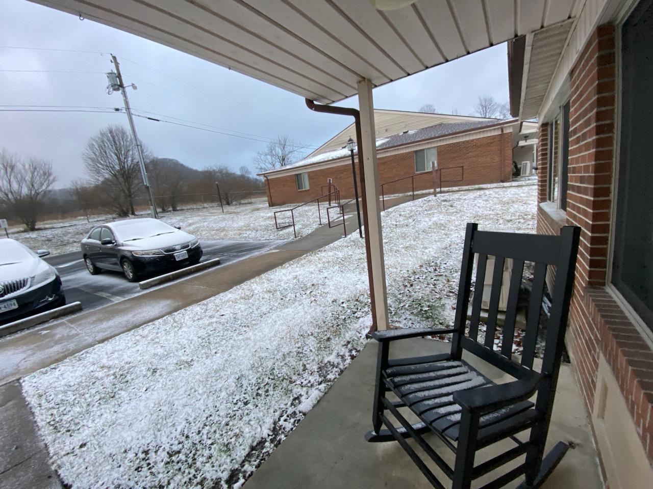
In Norton this morning.
-
February 2024 mid/ long range
Daniel Boone replied to Holston_River_Rambler's topic in Tennessee Valley
Yeah, next Winter is a bit murky as like you said, if the Nina is weak it can be a whole different ballgame.- 750 replies
-
- 1
-
-
- snow elk
- wooly worm
- (and 1 more)
-
Winter 23-24' Wx Observations Thread
Daniel Boone replied to Carvers Gap's topic in Tennessee Valley
Light Dusting here this Morning. -
February 2024 mid/ long range
Daniel Boone replied to Holston_River_Rambler's topic in Tennessee Valley
Light patchy Dusting here as well.
- 750 replies
-
- 2
-
-
- snow elk
- wooly worm
- (and 1 more)
-
February 2024 mid/ long range
Daniel Boone replied to Holston_River_Rambler's topic in Tennessee Valley
I'm with Carvers. Everything I see is pointing toward a hot, dry Summer. Imo, the only caveat may be if we're fortunate enough for TC activity to bring us beneficial Rains. TC development will probably begin early as Holston pointed out Factors arguing for a very active Season and the already very warm SST'S of which would favor that early start.- 750 replies
-
- 1
-
-
- snow elk
- wooly worm
- (and 1 more)
-
February 2024 mid/ long range
Daniel Boone replied to Holston_River_Rambler's topic in Tennessee Valley
Yeah, looking like we need a 50-100 mile further South Track according to most SRM's.- 750 replies
-
- 1
-
-
- snow elk
- wooly worm
- (and 1 more)
-
February 2024 mid/ long range
Daniel Boone replied to Holston_River_Rambler's topic in Tennessee Valley
Yep.- 750 replies
-
- 1
-
-
- snow elk
- wooly worm
- (and 1 more)
-
It'll then move on into Texas, lol
-
February 2024 mid/ long range
Daniel Boone replied to Holston_River_Rambler's topic in Tennessee Valley
18z followed South trend. -
February 2024 mid/ long range
Daniel Boone replied to Holston_River_Rambler's topic in Tennessee Valley
Yeah, usually. Downstream affect.- 750 replies
-
- 2
-
-
- snow elk
- wooly worm
- (and 1 more)
-
The Weekend Rule? Saturday 2/17 - The Icon Storm
Daniel Boone replied to DDweatherman's topic in Mid Atlantic
Short pump scores !!! -
Alien Spacecraft causing them.
-
Mid to Long Range Discussion ~ 2024
Daniel Boone replied to buckeyefan1's topic in Southeastern States
Yep. West PAC and IO SST'S.