-
Posts
3,537 -
Joined
-
Last visited
Content Type
Profiles
Blogs
Forums
American Weather
Media Demo
Store
Gallery
Everything posted by Daniel Boone
-
That was based on last nights Run. I wonder if Today's will change their Tune.
-
Coz is on a Roll !
-
Every one of the 6-10 one's had at least one good snow event just after. Least snowy one was 2017. 2 duds snowfall wise in the 8-14. Both 1995's they Had several very light , dusting to 2" deals and one rain to thundersnow later in early March 95 that produced 4" in Jonesville with much more Northeastward. All in all most of those were great Snowy and Cold periods .
-
Yep. Wouldn't be surprised at all..Was just thinking of that awhile ago and lonand behold a Model shows it. The Great Valley warm Slot. If there's a choice irt to that Depiction, I'd rather the warm slot and rain over the Ice. Hopefully it's wrong and we get a clean pass Snowstorm.
-
Sure looking more likely someone in that Area you noted is good to get Hammered with Snow and Ice. Heavy Snow on Northern Boundary but Sleet and freezing Rain a pretty wide swath likely in the middle probably.
-
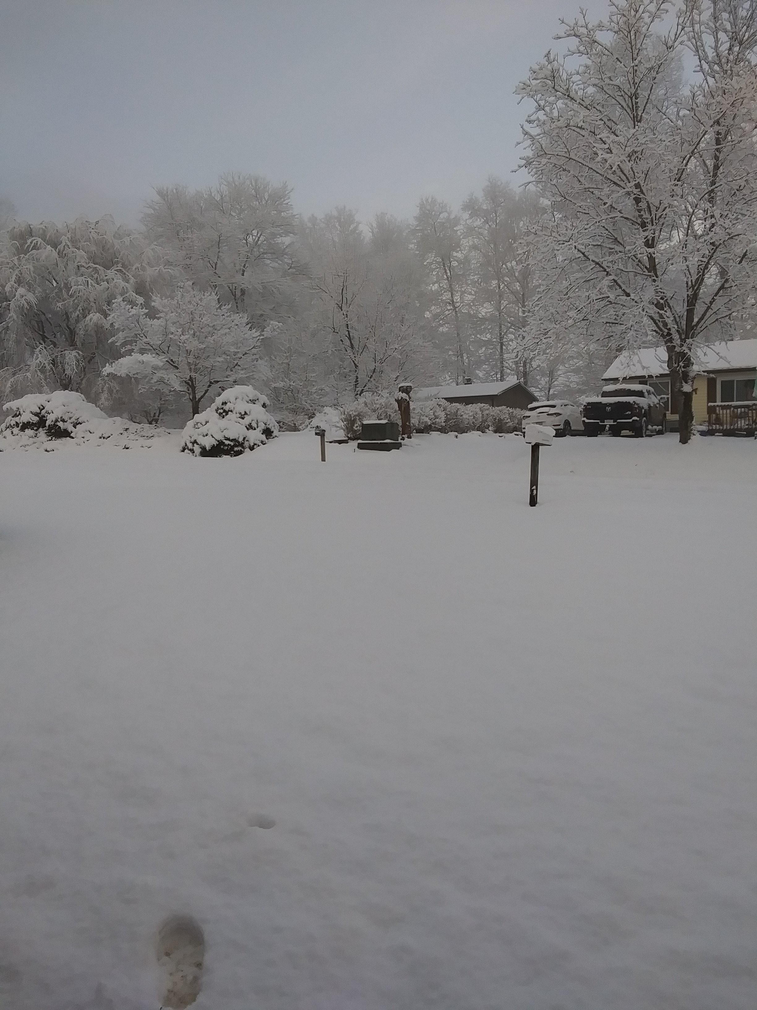
Wound up with an inch here. It was all Snow. I was up throughout duration; couldn't sleep. Jackpot was as GFS( Shocker) showed, Eastern Lee and Scott and Wise Counties. Official report of 2.75" Northern Scott.
-
Wound up with 3/4 to an inch. Depending where it stuck. Temp was above freezing almost the whole duration. It was all Snow here. 1-2 inches Pennington gap to Norton. 2-3" Wise.
-
Started snowing here at 12. Dusting on Vehicle and patches on lawn. Temperature is 37 . Dp 19.
-
Yep, that was where we looked at back in the great Winter's of our Youth. If it was the " Ice box" we were confident as usually that air from that area made a direct shot our way.
-
That particular Event was Feb 21, 2015 the day after the Record Arctic Blast brought a low of -20 in Pennington Gap. Model's all showed precip starting as a brief period of Snow quickly going to Rain(except the Para GFS, it showed 8-9 here ) with less than an inch forecasted . It started here around 1 A.M . With the Temperature in the Teens. Got up around 7 and just over 4 inches had fallen and snowing moderately. I called the NWS and they couldn't believe it as Models were showing Rain. It was raining there. It increased intensity and by 10 over 7" had fallen. I reported that. At this point they were like it should change over soon. It continued heavy until about 4 O'clock. Then started the changeover with Temp in upper 20's. 15" at my place had fallen. 20" just about 2 statute miles north of me near Stone Mountain. There was moderate rain on top of the snow that night that froze within it as the ambient Temperature rose to just above freezing. There were Carports and Porches collapsed from the Weight.
-
2015... We'd only got an inch in January before the February onslaught of which didn't start until the 13th. Totalled about 33" that Month at my place in Jonesville then. Northern Section of Lee County Totalled over 40" . Higher Eles 50" for the Month !
-
Started to post last night irt the WRF being as warm as it was. It seems it's been the warmer outlier Exactly. We need the STJ to become active out of the Pacific and across Mx the SW and Southern Plains. That dryness there helps extend that ever present SW Heat Ridge, if you will, Eastward to the Gulf. That hinders our moisture transport and LP development there as well.
-
Right with you man. Its looking that way.
-
Yeah, noticed that. It just scattered the Shield out after getting past I-75. Could be suggesting a mild tounge of sorts with maybe a mix or some rain . I didn't look at QPF . It would answer to whether that's the Case. A couple other Models are showing the quick drop off as well.
-
Reached an afternoon High of 24 here. Had there been Snow Cover it would of stayed in the Teens. Currently 15.
-
Our NWS uses the NBM. I don't know which Models are weighted heaviest within it.
-
Yes but, that's a solid area in Kentucky. They seem to dodge the Valley like we do Pedestrians crossing the Road.
-
Look at Kentucky ! If things don't change, it's just not the Great Valleys Year. Man.
-
Yeah, been thinking the same thing. You'd think more should get pulled along the Front.
-
Western end of Lee County had measurable Snow. .5-1.0. Northern section on Wise Plateau as well. A very light dusting here in central Lee County.
-
Yeppers. So is the life of a Snow lover in the Tn Valley, lol.
-
Yeah. Would be nice if that weak Low it pops in the NE Gulf develops further West and intensifies so it would run more Northward.
-
Looks like a quick 1-3" in NETN that Run before quickly reforming or shifting to in north cental NC up through Central and Eastern VA.
-
GFS showing similar to NAM 3k Friday Night/Sat Morning. 2-3" here by 12z Sat.
-
Can't win for losing in Tn Valley. This one will nail Kentucky pretty good while the next will go South and East of us.


