Chinook
-
Posts
10,935 -
Joined
-
Last visited
Content Type
Profiles
Blogs
Forums
American Weather
Media Demo
Store
Gallery
Everything posted by Chinook
-
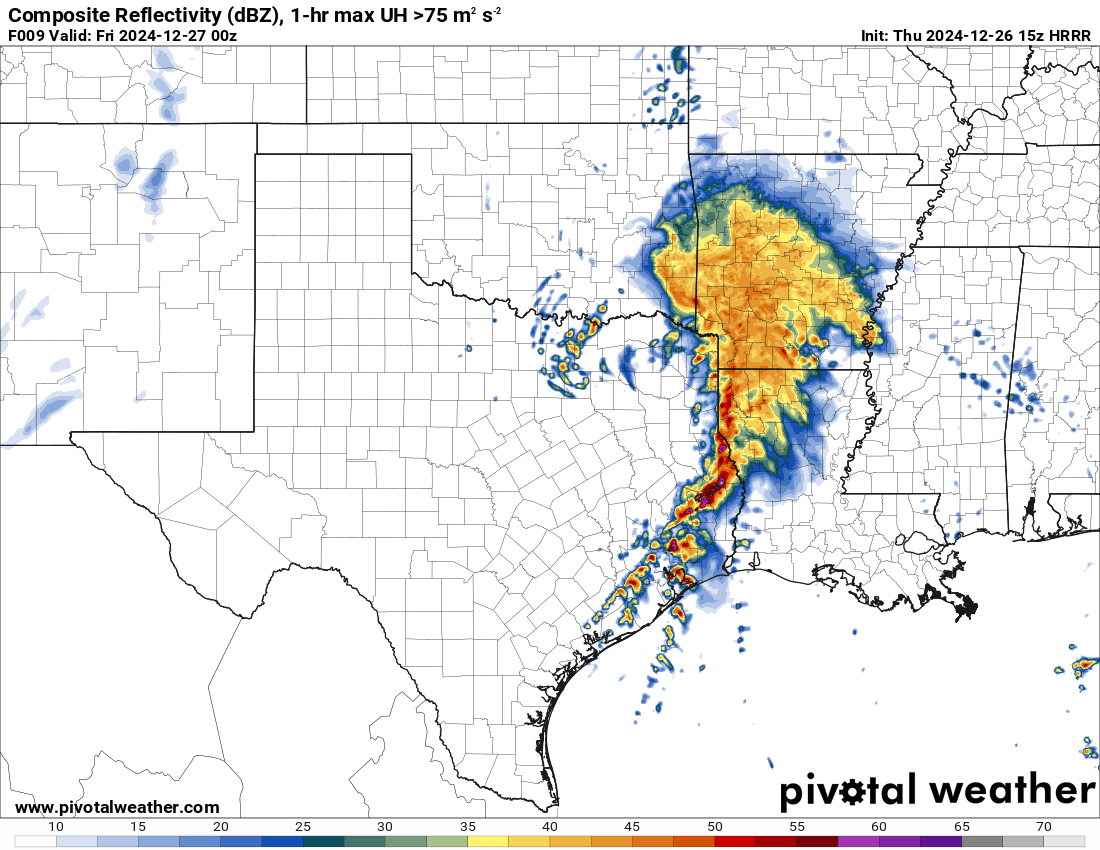
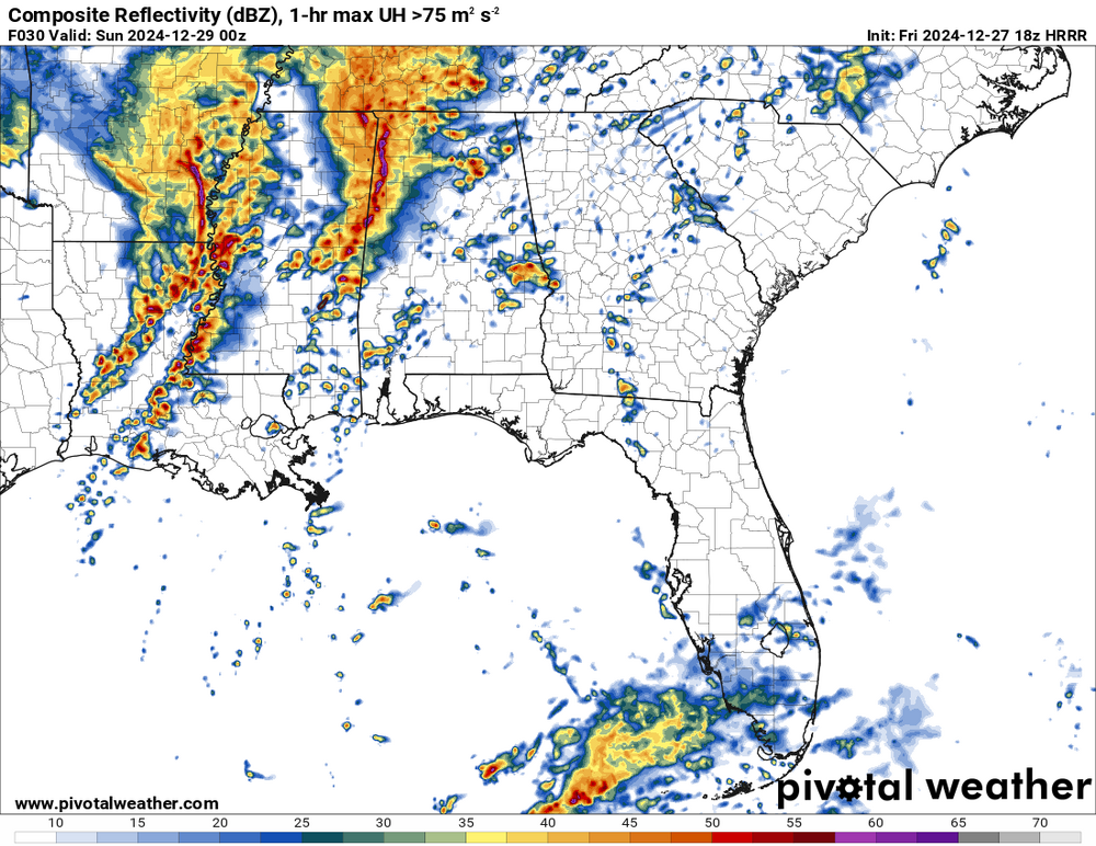
this looks like a lot of discrete storms, possibly with tornadoes
-
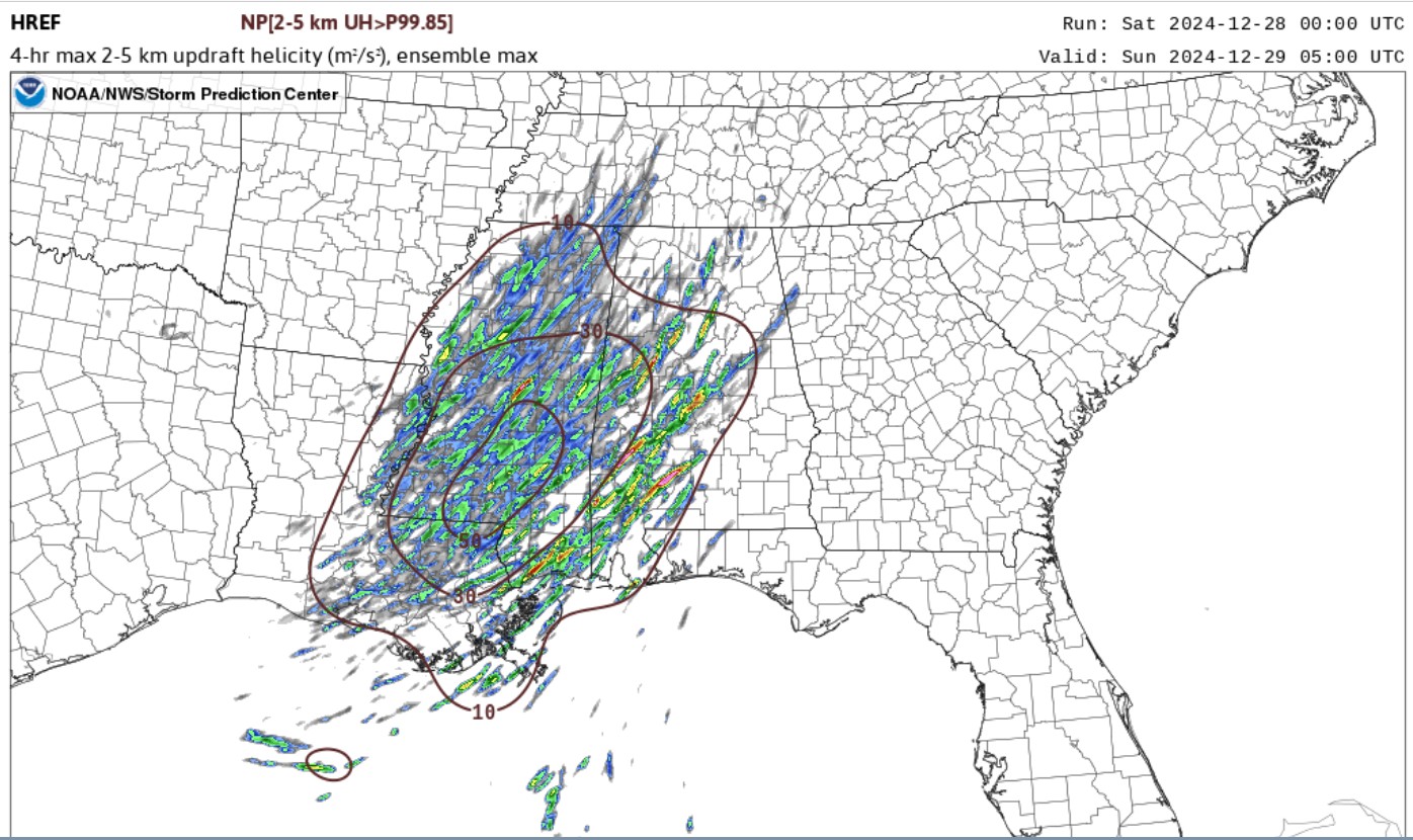
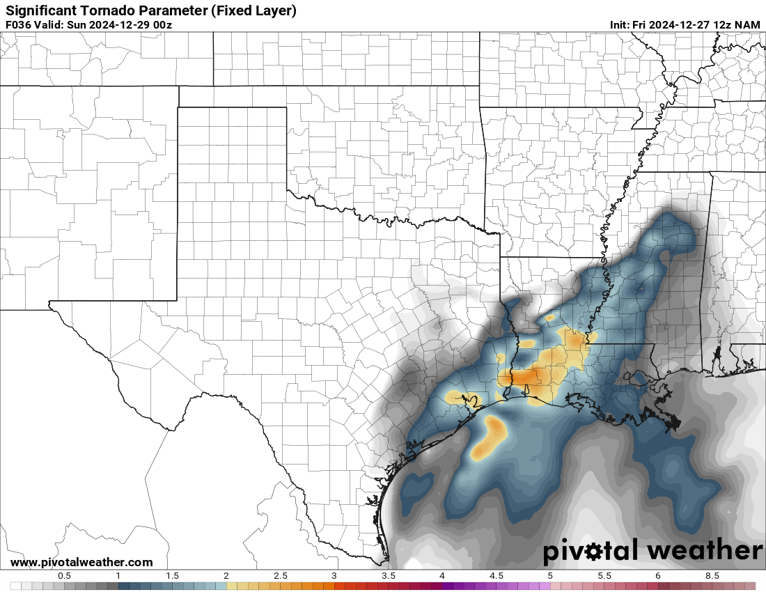
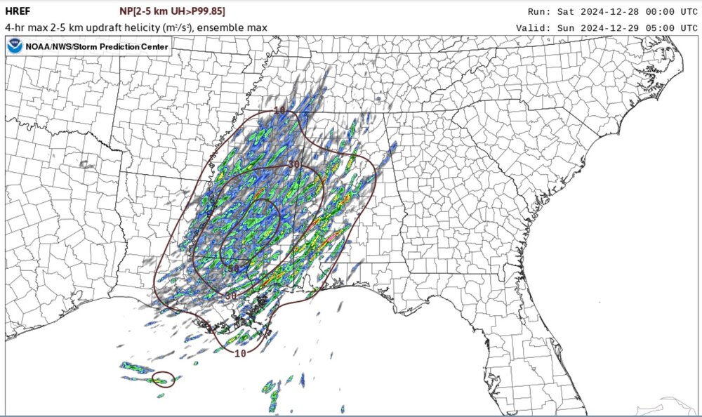
tomorrow should be a bigger tornado risk. The convection allowing models are showing a lot of discrete storms, in some cases.

-
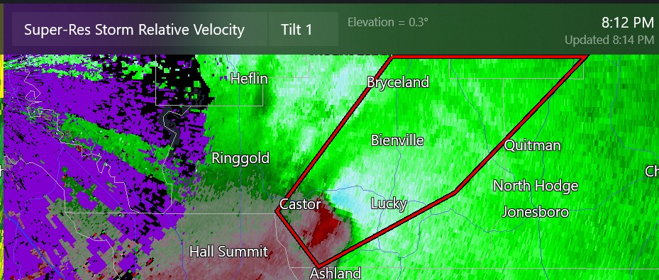
this is about 45 miles from Shreveport
-
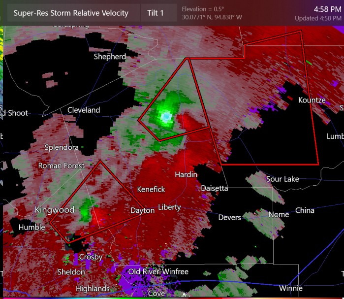
tornado reported near Dayton, TX
-
the north storm near Hardin has a PDS tornado warning
-
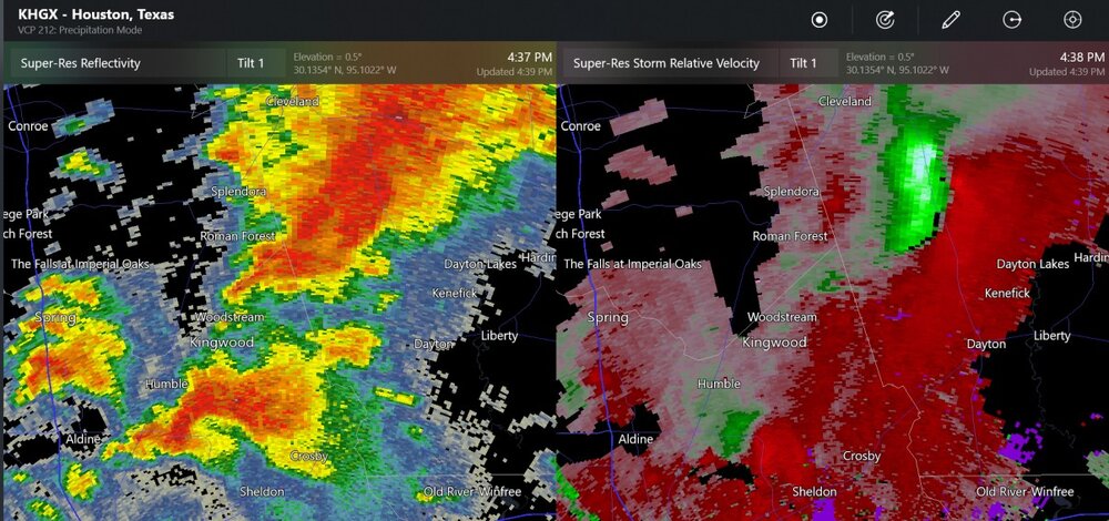
non-warned storms with shear/rotation
-
not a lot happening in TX, but still getting further discussion from SPC
-
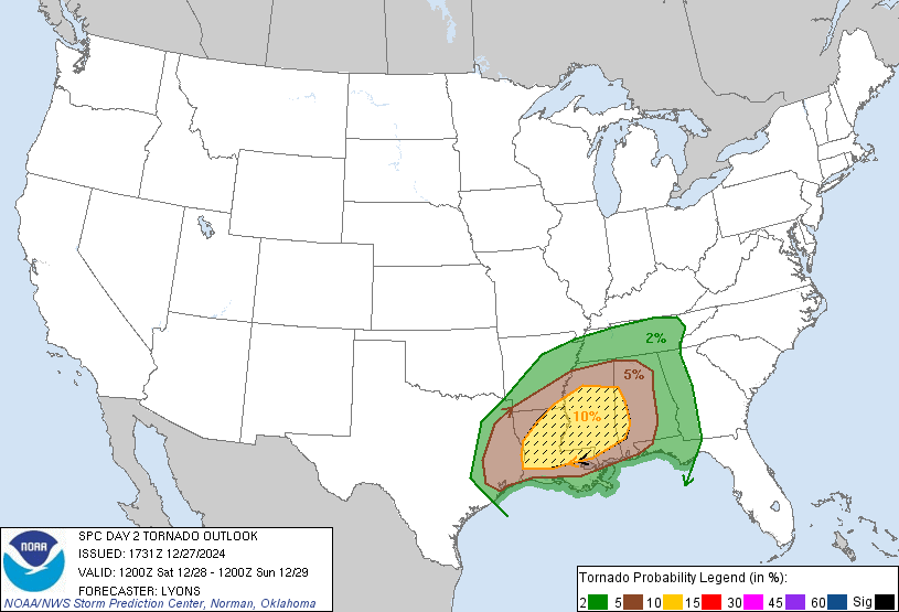
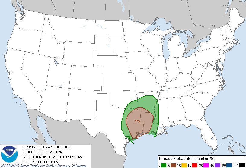
SPC has put up a 10% (enhanced) level of threat for tornadoes north Houston. It is mid-winter, so I don't know if this level of risk will work out.

-
chance for tornadoes tomorrow, including Houston, Shreveport
-
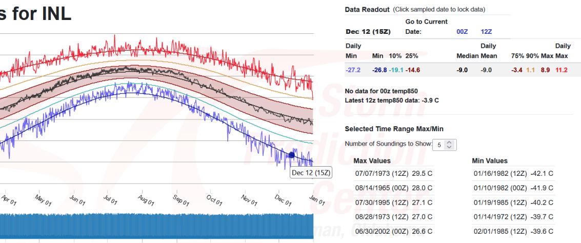
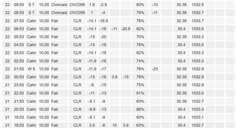
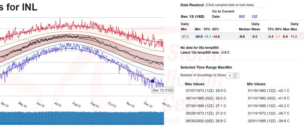
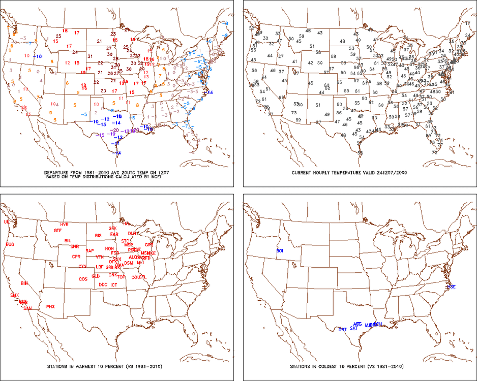
Wow. So hard to break cold records these days. they must have hit -21 at 5:24 AM while the normal hourly values were both -13?
-

Let’s talk winter!! Ohio and surrounding states!! 24'-25'
Chinook replied to buckeye's topic in Lakes/Ohio Valley
all new NWS summary of the 2004 snowstorm, exactly 20 years ago https://storymaps.arcgis.com/stories/ea9219fb012f426caedf479768adc2e2 -
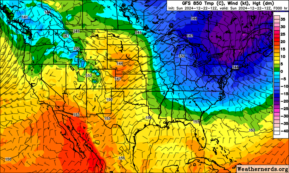
This stuff is always amazing, that is, with the very different air masses in the winter. The 850mb temperture is -22C at Burlington VT and +15C at Goodland KS
-
You guys aren't having wintry weather
-
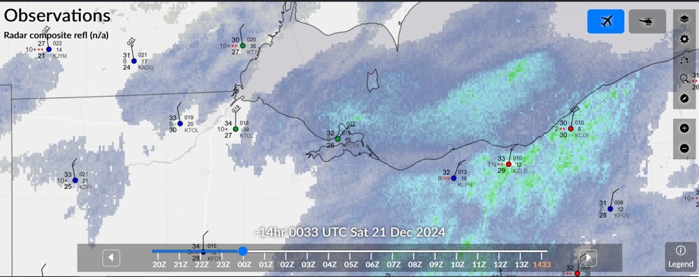
8:56pm radar and 8:33 radar/observations last night. It's just a bit of snow moving north to south. However, I think it makes sense to say some enhancement from Port Clinton eastward. I think the cooler air kicked up the real lake effect bands way after midnight around Cleveland.
-
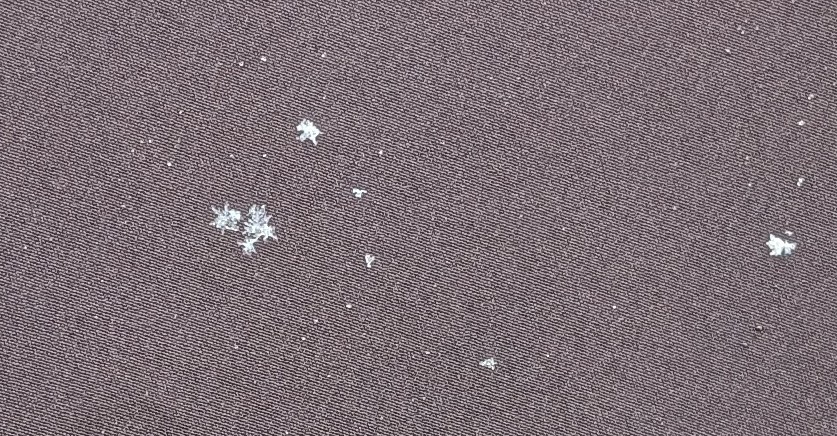
my place doesn't have much, but here's a really nice close up
-
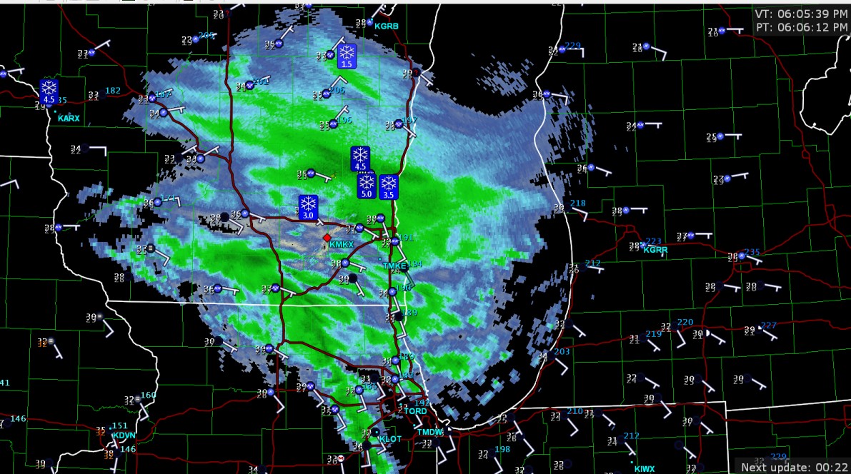
some snow observations in Wisconsin

-
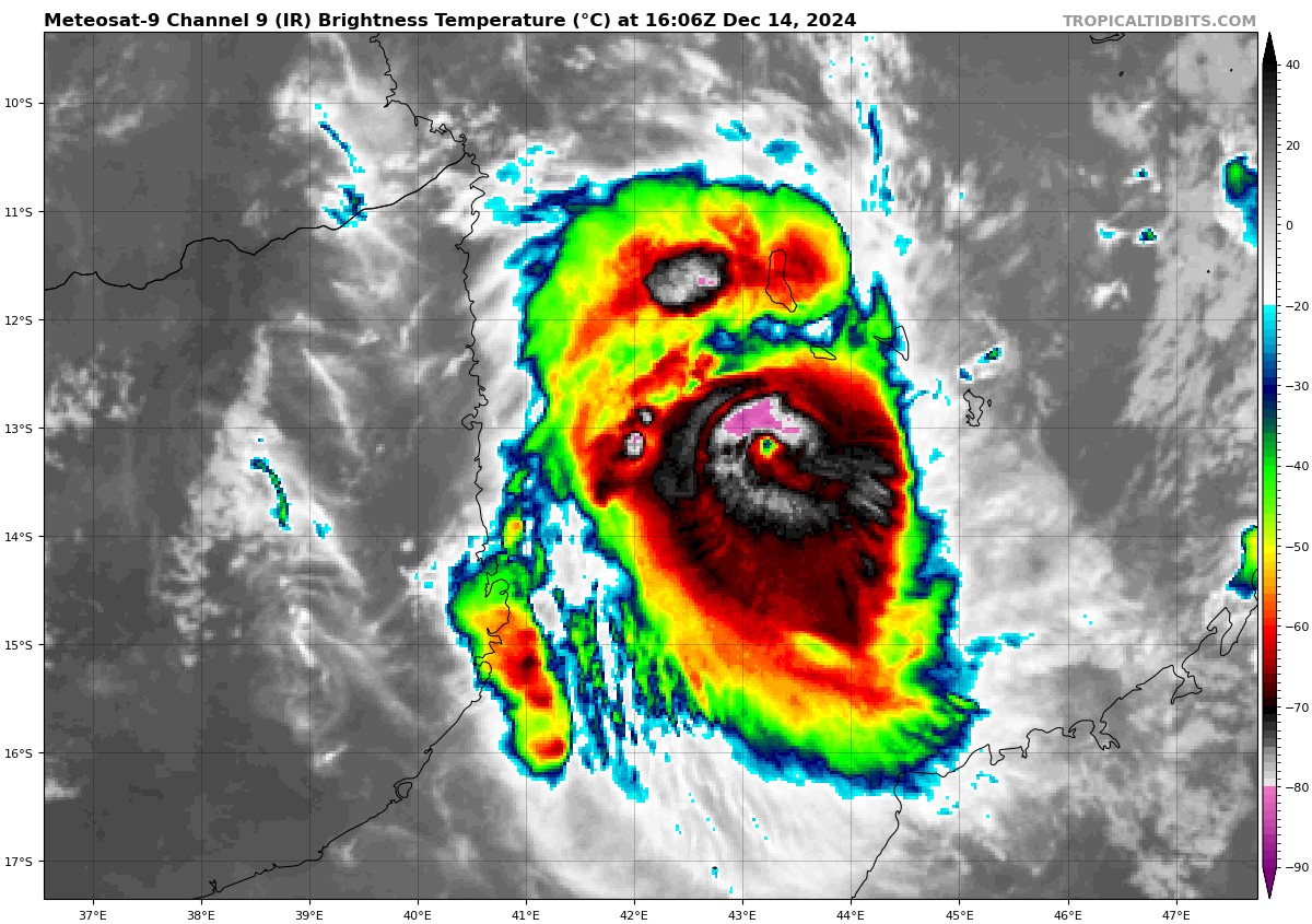
Cyclone Chido close to Mozambique

-
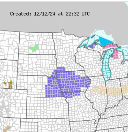
new winter weather advisory for Iowa and nearby areas, for the chance of freezing rain
-
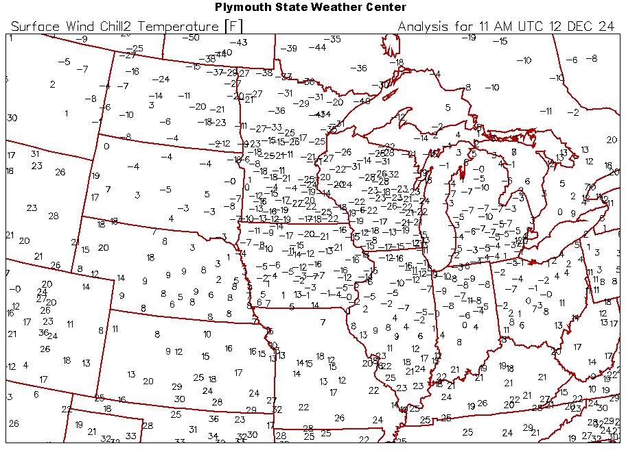
Now my area's wind chill of -4 today looks like nothing compared to -44 in Canada
-
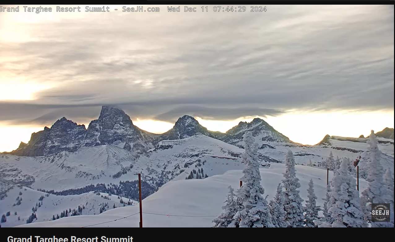
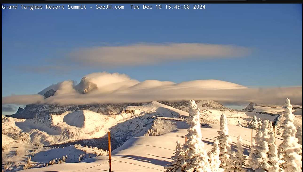
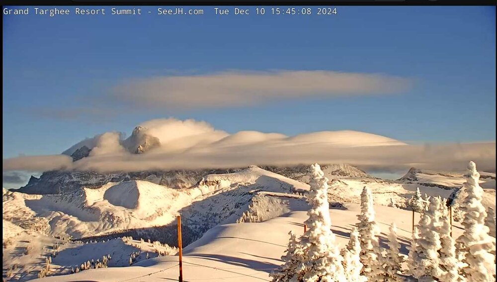
looking east to the Tetons (I think). This stuff is too neat.

-
Winter 2024-25 Medium/Long Range Discussion
Chinook replied to michsnowfreak's topic in Lakes/Ohio Valley
-28 deg C at 850mb could break a daily record for International Falls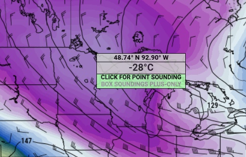
-
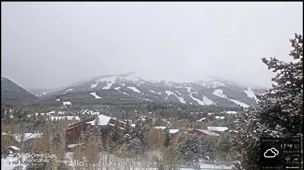
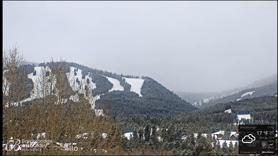
snowing at Breckenridge and Colorado Springs

-
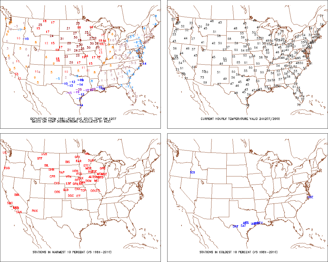
cold weather has now turned to 50's and 60's in the Plains
-
new web page about the huge snow event https://www.weather.gov/cle/event_20241128_1203
-
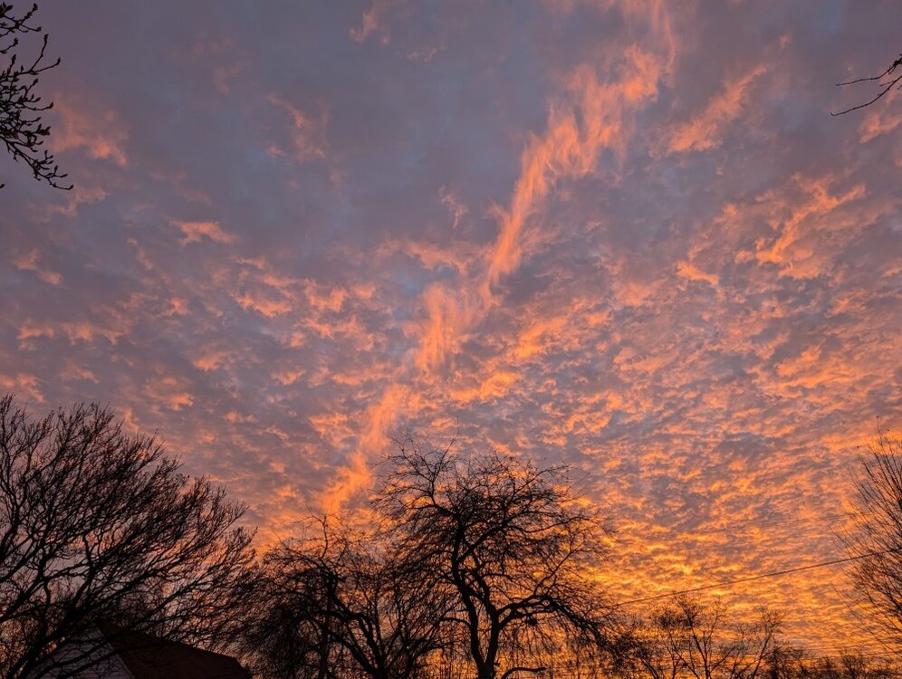
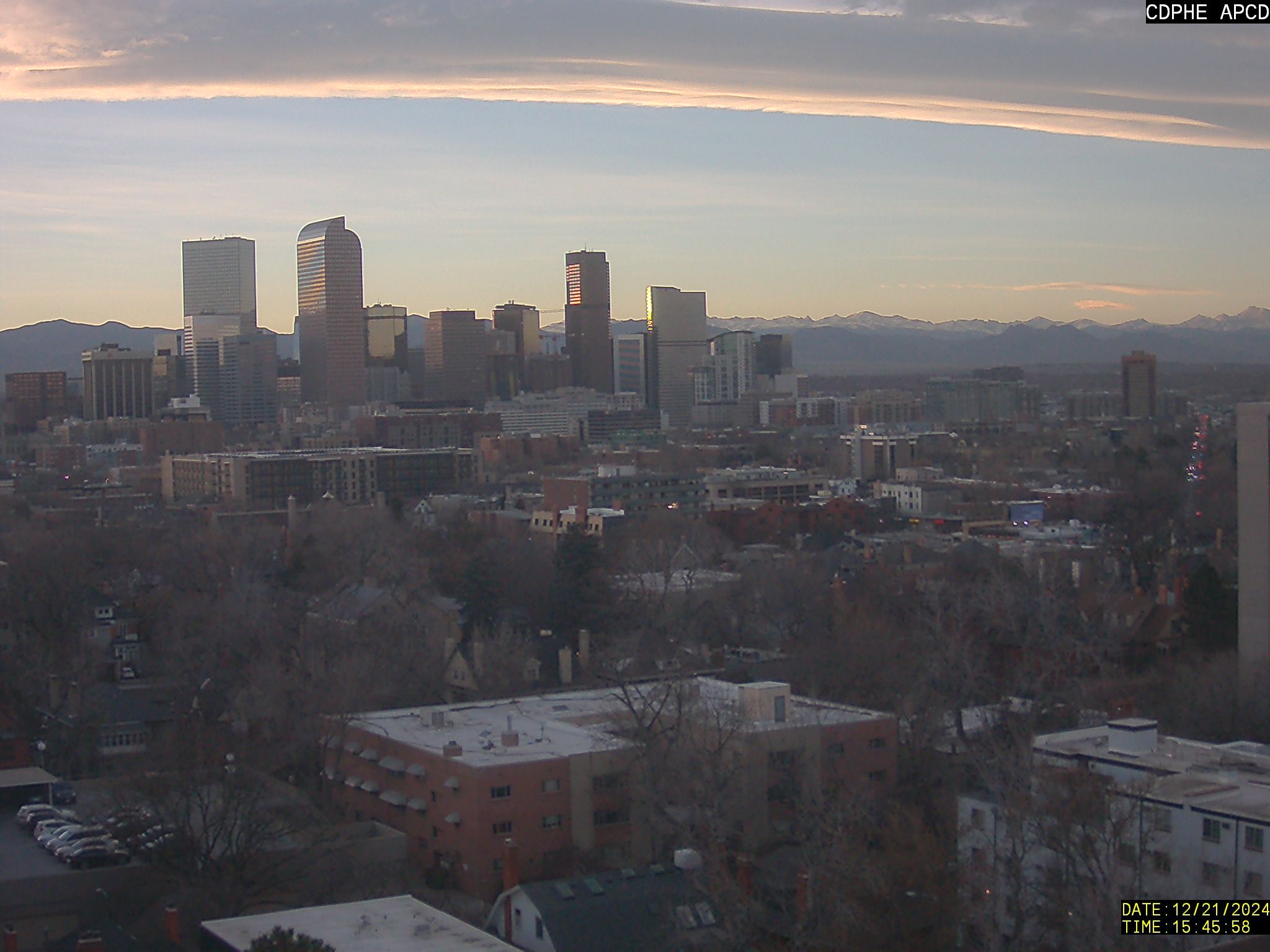
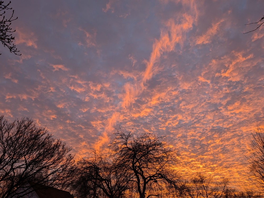
sunset a few minutes ago