BombsAway1288
-
Posts
1,473 -
Joined
-
Last visited
Content Type
Profiles
Blogs
Forums
American Weather
Media Demo
Store
Gallery
Everything posted by BombsAway1288
-
Clearly. Was kind of going with a rhetorical question there. Guess the question or statement should have been more geared towards to how did this just explode so fast in the northern Gulf in late October, just as Greg Postel was referring to in his tweet.
-
Def much stronger winds than I was expecting. Watching those winds in downtown NO on TWC was impressive. Probably the best live coverage I've seen them do for a landfalling hurricane. 24 hrs ago this was a 65mph tropical storm. What happened? lol
-
That might be one of the best transformer blow-up video's I've ever seen! That was awesome! You are asking for trouble though having those power lines run right through a bunch of tree's, ice storm or not.
-
To kind of nitpick, the Leewards and the Bahamas are islands that yes, did experience major hurricanes but they're islands that don't have "inland" areas comparable to the Plains of the US. You're point remains the same though. Big SUSTAINED winds don't really happen inland, anywhere at all.
-
That data get released yet? That was def the most interestingly positioned site for this storm with the track making a center hit on Creole. Creole is east of Cameron so this station would of been in the northwestern-western side of the eyewall which clearly over performed in this storm with the reported winds in Beaumont/Port Arthur which are even more west of the center and west of Cameron.
-
TY. Was the last thing I was thinking
-
Ummm you mean 6 weeks apart and a cat 2 and cat 4?
-
Gonna guess that this will be the highest reported reliable wind measurement we get from Delta. Weakening will only accelerate from here on out. Unless some late reports come in of course
-
You mean a Greek named storm is so bad that it needs to be retired? I think they would retire it and just not replace it. Like I said though, I think....
-
Really? The CMC? Granted, I haven't followed and analyzed the models for verification this year when it comes to tropical systems but just going by how it performed for Laura, I wouldn't exactly say the Canadian is the go-to model. I'm not saying/trying to downplay anything out there like some people on here. Just questioning the model of choice.
-
Honestly, I think I speak for everyone when I say I think it's time for you to stop. You were saying the same exact thing earlier this week about the 2 systems that will impact the SE US next week and were wrong. You're clearly giving your best trolling attempt
-
Correct. NYC Nickeled and dimed their way to an above average season. Think there was some type of storm almost every week that year though. Extremely active. Earliest memories of snow!
-
HAHA, there you go, remember these graphics well from that storm. I'm sure you remember the same stuff on TWC I do from the whole lead up to it. Think the big amounts were still in the forecast for NYC as soon as 12-18 hours out. Ended up with 6" in NE Bergen County and a Monday off from school that wasn't necessary lol
-
That it was. It was driving me nuts. Thank you!
-
That was the classic storm that ended up clobbering Upstate NY- New England. Remember the Weather Channel had Kocin sitting there infront of a map that had all of PA-NJ-NYC-SNE in the dark purple saying "Widespread 2-3 Feet". I think that's when panic ensued and why a lot of people consider it and remember it as a huge bust. The area's that did get those amounts weren't exactly populated. Think ORH pulled a 30"+ spot though. That was the storm that hurt/ruined a lot of on-air mets in the big markets. I think one met (can't remember his name but he worked in NYC at some point in the 2000's) was literally run out of Philadelphia because they ended up with nothing after the 2' predictions
-
Spot on. Remember getting 14" in NE Bergen County when all was said and done on the morning of the 7th. Giants played the Redskins I think it was at the Meadowlands after it got dumped on with like a foot and a half of snow. Remember BIG piles on the sidelines One of the only times I felt like I got the highest amounts as a kid in that area. Got most of it from the EWR mega band. Think they ended up with something like 14" too
-
With all due respect, I hope you're wrong temp wise and the 90's lack this year. I'm sure they won't and you'll be right. We'll see.
-
March 12/13/14 Blizzard/Winter Storm/WWA etc
BombsAway1288 replied to Bostonseminole's topic in New England
Lol once again Pete B mentioned it this time saying "Some controversy regarding the top spot. After speaking to someone who is close to the reporter of the 31 in Wilmington" he then said the same thing about the 6 hour clearing method saying "this is the right way to measure snow" and "the NWS said 'what? 31in is too high' but I think it's good and very close to the 28.3 report Methuen." Lol this is getting hysterical. -
March 12/13/14 Blizzard/Winter Storm/WWA etc
BombsAway1288 replied to Bostonseminole's topic in New England
He didn't meantion him by name and by seeing what you posted just before me answers how he found out about it, but he definitely thinks it legit by his "discounted by some" tone and the fact that he said it on-air -
March 12/13/14 Blizzard/Winter Storm/WWA etc
BombsAway1288 replied to Bostonseminole's topic in New England
Lol yeah he does get a lot of bashing on here but I don't think he is terrible. First winter watching him and have noticed a warm, anti-snow bias but his delivery on TV is one of the best -
March 12/13/14 Blizzard/Winter Storm/WWA etc
BombsAway1288 replied to Bostonseminole's topic in New England
Well there we go. You got to it before me -
March 12/13/14 Blizzard/Winter Storm/WWA etc
BombsAway1288 replied to Bostonseminole's topic in New England
Pete Bouchard on his 5pm broadcast while showing the totals graphic with Methuen as the highest said: "The real jackpot, 31in in Wilmington. Old school measurement of 6 hours of snow, clear the board. 6 hours of snow, clear the board. It was discounted by some." I guess he checks in on this board or contacted Taunton to know about the 6 hour clearing method you used but nice shoutout to Ray anyway. By his tone it sounded like he was buying the 31 -
March 12/13/14 Blizzard/Winter Storm/WWA etc
BombsAway1288 replied to Bostonseminole's topic in New England
Wow that seems very strange as there could be quite the difference in snow totals from Winthrop right on the coast to downtown Boston like yesterday. I thought I got more than 14.5in. I'm sure this has been discussed at nausium in here before regarding Winthrop basically being used for bostons official records -
March 12/13/14 Blizzard/Winter Storm/WWA etc
BombsAway1288 replied to Bostonseminole's topic in New England
Did anyone notice that the Logan reports and Winthrop reports are lock-step the same, even reporting times? Is it always like that? I know they're right next to each other but it seems strange that there wouldn't be at least a tenth of inch of difference. Is it the same person reporting for both locations but only actually possibly reporting from one and sending in two different reports? -
March 12/13/14 Blizzard/Winter Storm/WWA etc
BombsAway1288 replied to Bostonseminole's topic in New England
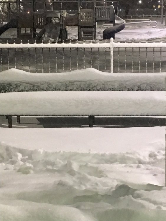
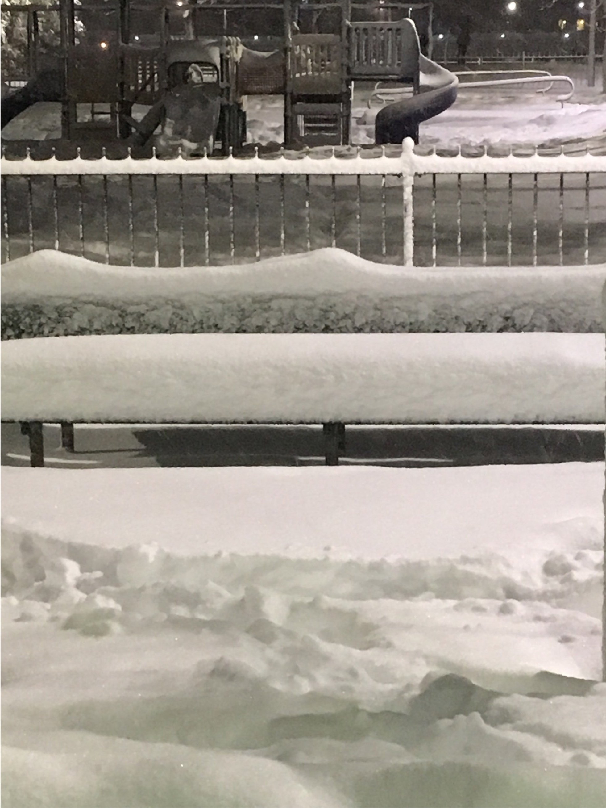
This was taken in a park in Eastie right next to the airport on the west side. Didn't measure. We'll see what Logan reports at 1am. What do you guys think?