CAPE
-
Posts
36,838 -
Joined
-
Last visited
Content Type
Profiles
Blogs
Forums
American Weather
Media Demo
Store
Gallery
Everything posted by CAPE
-
Need a turning of the worm here
-
The latest, issued today. https://www.cpc.ncep.noaa.gov/products/analysis_monitoring/enso_advisory/ensodisc.shtml
-
And only east if you are north or south This looks very familiar.
-
Adley is likely going elsewhere. Maybe this season if they are smart. His contract is up next year and they invested big money in Basallo. Come on dude. Holliday is unproven. Gunnar has been bad this season but Boras is his agent. He is gone. Dodger or Yankee guaranteed.
-
That, and more. You think all these "core" players are gonna be here in 2-3 years? Basallo? probably. They made the investment. I wouldn't put my money on the rest, for multiple reasons. You don't want to accept it, but a rebuild is needed.
-
There are only 3 teams with a worse record in the shitty ass AL. Still a chance tho, so lets be buyers at the deadline! NFL preseason football just a few weeks away. Lets go Ravens! (Please find a center)
-
If it weren't for pitchers making awful mistakes, Mayo wouldn't be cranking the occasional long HRs. His swing has more holes than a goddamn golf course.
-
Remember, Mayo was one of Elias' coveted prospects. An untouchable who was off limits when it came to trade talks. Dismantle this fucking team from top to bottom.
-
Yet another pathetic Orioles effort. Mayo is gonna hit .179 with 20 HRs and 50 RBI lol. Gunnar cant buy a hit. God this team is awful.
-
I'll believe it when I see it
-
Alonso hit a home run and Ben McDonald called it a polar vortex lol
-
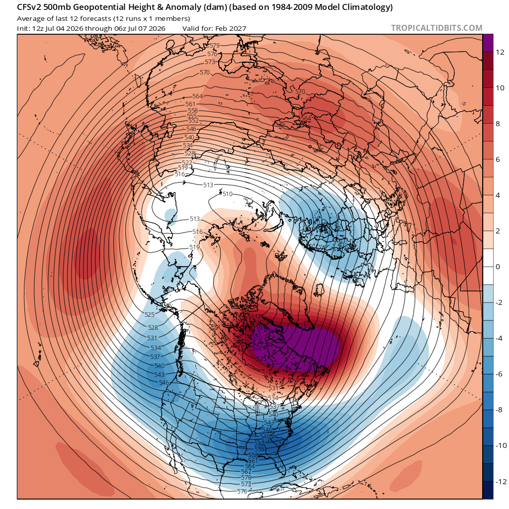
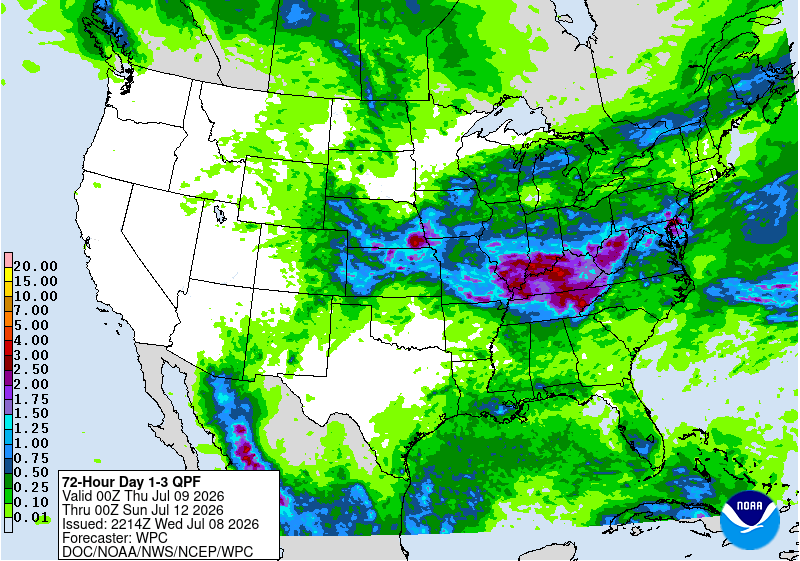
Up to 2" here through tomorrow night. They are always bullish on rainfall lately, only to back off as the event nears. Given the scattered nature of storms this time of year, it generally doesnt work out very well to go with widespread heavy amounts across the area. Hasn't worked out here at all.
-
This too
-
You mean my profile photo? lol yeah its Clint(Blondie) frying in the desert at the hands of Tuco
-
Could be a dirty filter, or having the temp control(thermostat) set to run the fan all the time(On) instead of setting it to Auto.
-
With some of the hardcore warminstas in there, yeah anything positive posted (cold/snow) about the upcoming winter will probably earn you a weenie.
-
https://www.imdb.com/title/tt14688458/
-
Thankfully, NFL training camp is just a few weeks away. Yeah baby!!
-
The 'awesome' core is largely mediocre or gone. This team is awful. Elias has failed. As I have said, fire that fucker and rebuild. The hell with buying at the trade deadline. SELL. That's just Elias trying to save his job. Trade a 'valuable' commodity( to a contending team) like Alonso. Get a few prospects in return. Why the hell would he want to waste the prime years of his career with a loser? He would likely be amicable with a trade to an actual contender.
-
Anyone watching Cape Fear, the series, on Apple TV? Pretty damn good.
-
Congrats NC
-
This definitely looks Giga

-
Well, we got Mega at least
-
Fox weather says MONSTER Nino on the way
-
Have fun!! It will be incredible. Did both those on a trip quite a few years ago now(jeez). Went white water rafting and did the scenic float and plenty of hiking. All great fun. The Grand Prismatic is insane. Took high res shots of that and Yellowstone Falls. Both are framed and hanging on the walls along with shots from Canaan etc.