CAPE
-
Posts
36,838 -
Joined
-
Last visited
Content Type
Profiles
Blogs
Forums
American Weather
Media Demo
Store
Gallery
Everything posted by CAPE
-
CanSIPS likes that idea.
-
Some of those years we had cold air delivery via a -EPO and a well timed/transient -NAO that supported a snowstorm. Jan 2017, 18 and 2022 are examples.
-
We need a -AO and or -EPO to deliver legit cold. Outside of that we rely on a dynamic system(evap/dynamic cooling) with a very favorable track, and probably need a significant, established negative NAO to feed cold enough air southward as a coastal low climbs the coast. That's kind of always been part of the formula, esp in a Nino, but might be a bit more of a challenge today. Thus why I generally don't mind Ninas at all lately given my location, mostly depending on the NE Pac ridge position/orientation.
-
Not the case several times in recent winters- although most of those were Ninas. Jan 2022 is a perfect example(my storm.) We were in shut(shit) the blinds mode with no apparent end in sight and 10 days or so later there was a major snowstorm across much of the area, and it stayed pretty cold and snowed another time or 2.
-
This seems to concur.
-
H5 went from shit to sugar over about 10 days leading up.
-
Yeah most of the activity firing behind this boundary is staying east in DE.
-
I'm sure they will miss my yard lol. 7.3" here for A-M-J and so far in July. Thus the extreme drought.
-
Yeah I mentioned that outflow boundary in the other thread.
- 1,007 replies
-
- 1
-

-
- severe
- thunderstorms
- (and 7 more)
-
Maybe that outflow boundary moving SW from the SNJ storms can trigger something.
-
A quarter inch of rain would be cool. Not asking for much. That would get me to a little over an inch and a half for the month, while continuing the pathetic monthly totals since March.
-
- 1,007 replies
-
- 1
-
-
- severe
- thunderstorms
- (and 7 more)
-
These 15 year olds lol.
-
The norm here. Stopped paying attention to the WPC/local NWS hype for heavy rain. The time will come but it isnt now.
-
I was a young then but I remember it vividly. Lived in Carroll county back then. It was basically just the Feb blizzard after an overall mild winter, but got very cold leading up to it and then rapidly warmed up right after and ended winter. That's the type of deal we could see this coming winter, the way things look right now. Similar to 2016.
-
About to drink a 90 Min IPA
-
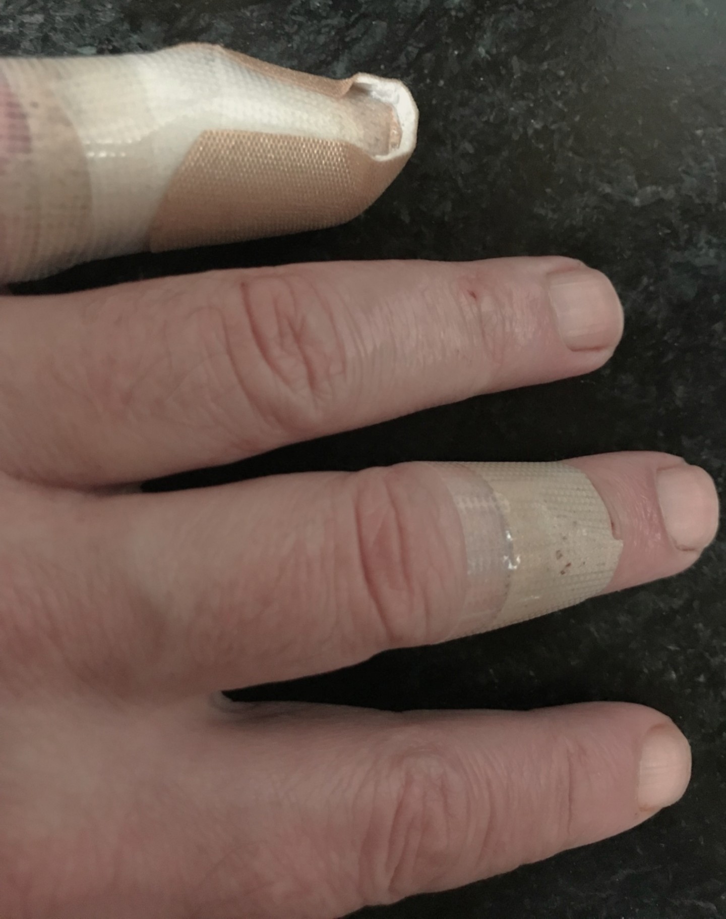
the repair was a combo of crazy glue for skin and stiches
-
Elias.. gaslighting fans
-
The Good, The Bad, and the Ugly. Its an epic Italian spaghetti western. Currently it represents the vibe here in the eastern shore desert.
-
Got some bourbon rn Not feeling too bad

-
Just about sliced my pinky finger off by dropping a bottle of wine that crashed on the door sill getting it out of the car, as the impending "storm" (lol) was about to hit. Tried to grab food and beer too like a dumbass instead of making 2 trips. Bled like a stuck pig and I think there are some glass fragments in there. Cleaned it and wrapped it up with some pressure for now and will go to urgent care tomorrow. Not sitting in ER for four hours tonight. Time to get drunk.
-
0.30 Skinny part of the line as usual lol
-
Lots to do in the area. Cape Henlopen State park is awesome. Dunes are pretty impressive. The town of Lewes is very nice- chill vibe and not overrun with people in Summer like Rehoboth. Breweries nearby and some nice places to eat. https://www.thearmchairexplorer.com/delaware/lewes-byway.php
-
A flood watch is perfectly adequate. Flash floods occur very quickly, and generally happen in specific locales- low lying areas(esp near rivers), densely populated urbanized areas, etc. Given the localized nature of developing storms that may produce flash flooding, and the specific areas that are susceptible to it, it is difficult to put a 'broad' flash flood watch in effect. Thus flash flood warnings are issued in these localized areas when a storm capable of producing such is imminent.