CAPE
-
Posts
36,282 -
Joined
-
Last visited
Content Type
Profiles
Blogs
Forums
American Weather
Media Demo
Store
Gallery
Everything posted by CAPE
-
I think we are ok as long as we have a pattern that brings Arctic or Continental Polar air southward. Too much Maritime polar air that moderates as it moves southward is more iffy. So yeah, we need a -AO and/or a -EPO.
-
Reduced to chasing snowstorms in Florida
-
I teach a course in instrumentation, including temperature measurement(one of my favorite topics)- sensor types, accuracy, tolerance, and calibration. NBS has been around since 1901. Thermometers in the early 1900s were as accurate as a tenth of a degree-plenty good enough for weather purposes. Platinum RTDs are used today in most cases for temperature measurement for industrial applications and weather, but require electrical/electronic circuits to measure the resistance change with temperature. Accuracy varies, and in some cases may be worse than the early thermometers.
-
I'm just over 11. Not sure what climo is anymore lol. Long term mean here is 18.5. But yes, deep winter. Not seen this since the 2013-14 and 14-15 winters. Jan 22 was snowier with the 3 storms totaling almost 20" here, but wasn't quite this cold.
-
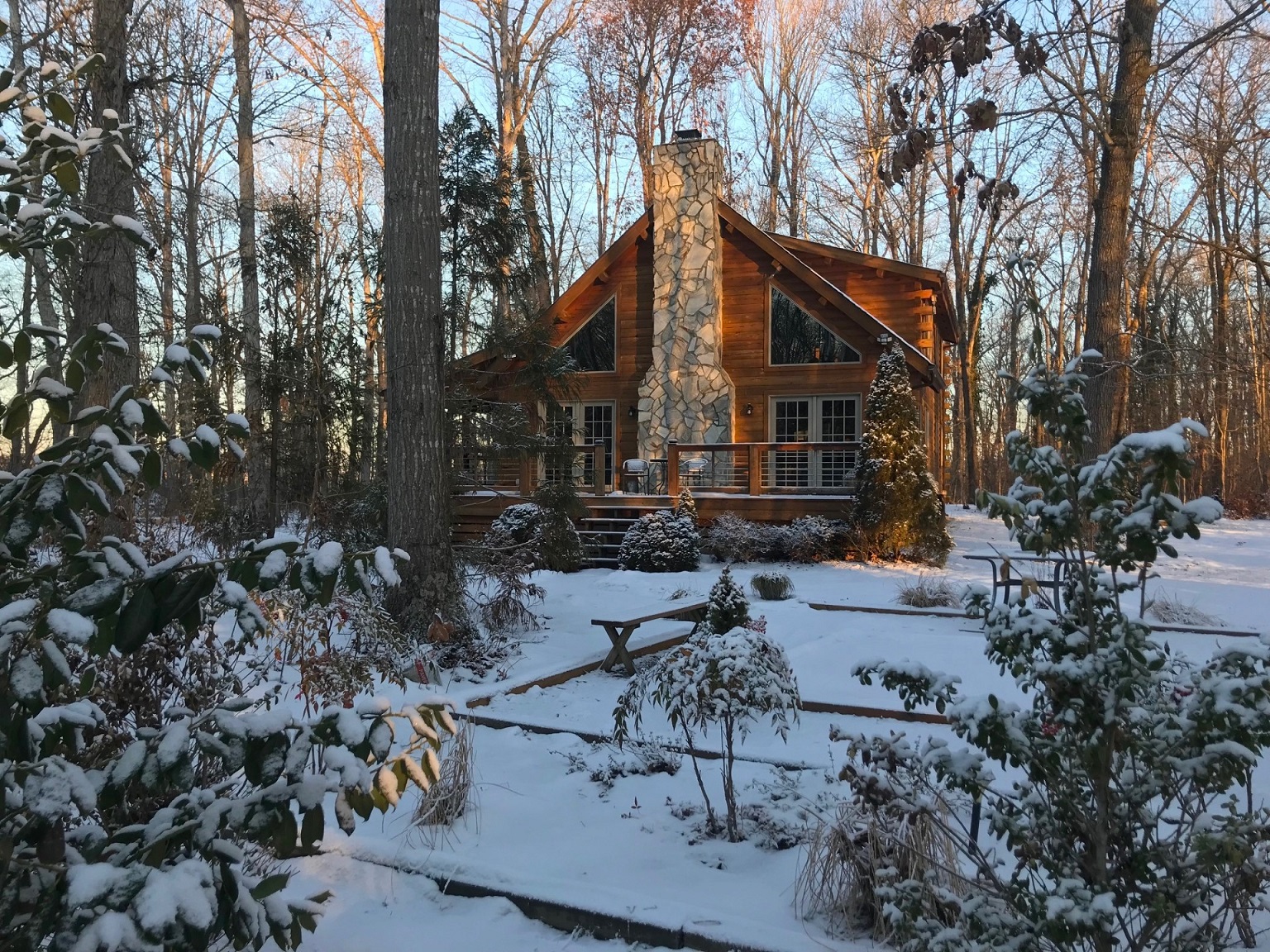
Here ya go. Obligatory cabin in the snow pic.

-
Temp down to 12.5 at 730
-
14 this morning
-
1/19/25: 0.6" Total: 11.1"
-
Its everything together. Lamar needed to eat that ball on the bad snap. Andrews cant fumble on that pass play. He should have caught that pass for the conversion, but they would have been kicking an extra point there to tie the game if Harbaugh was more sensible earlier.
-
Feel so bad for Andrews. Dumb Harbaugh will never learn to go for 2 WHEN YOU NEED TO GO FOR 2
-
Sure would be nice if it was 27-20 right now.
-
How about just kicking the extra point there and making it a one point game?
-
Defense also has to step up. They are getting run on and putting no pressure on Allen. They must get a stop on the opening drive in the third quarter.
-
Defense is soft. Bad turnover by Lamar. After the bad snap just go down there instead of trying to make something happen. Buffalo lost to the Bengals and Chiefs at home in the playoffs the last 2 years. They look determined.
-
When it first flipped there were some large dendrites coming down for a time. That was the yellows. After that as the temp went below freezing the flake size has mostly been medium with moderate intensity. Just too short of a duration to add up to much.
-
Won't get to an inch here. Looks like a half inch or so now with not much left to come through.
-
Other than being dry, this was also a very progressive wave, which was expected given the synoptic setup.
-
Snow otg for 2 weeks now. Been awhile since that last occurred. 29 with steady light snow. Looks like one more moderate band to come through and that's probably it.
-
Moderate snow with the wind picking up. Wish it could last a few more hours but doesnt look that way on radar. Trees are pretty again.
-
Well that won't be happening anytime soon. Congrats.
-
Looks like the drier models get the win with this one. I had 0.03" before it changed to frozen. Might end up with 0.15 total max.
-
32 with big flakes coming down now. Bare spots already whitened.
-
Hoping for an inch at this point. Maybe a couple hours before dry air works in and cuts off the precip. This was always biggest issue being on the south side. Just too dry.
-
Snowing now with temp down to 33.
-
Yep sleeting here now. 34.5