All Activity
- Past hour
-
Starting to snow lightly here, wind picking up out of the east.
-

February 2026 OBS & Discussion
WeatherGeek2025 replied to Stormlover74's topic in New York City Metro
i had Central Park hitting 42 today for a high anyone know the split? -

Late February/Early March 2026 Mid-Long Range
Stormchaserchuck1 replied to WxUSAF's topic in Mid Atlantic
Can you do it with >1std to the index pattern? I know sometimes a good gulf of alaska low pressure pattern will be called +EPO. -
Did not know TS occurred w/ the May 1977 event. I wish these obs were also archived in the original SA format. Also, all remarks were lost for some reason when they converted the SAs to METAR format. Those were the best part! LTG obs and SNOINCRs, among other things.
-
Correct I fixed it, we did have 15 snowstorms with 3 of 4 indexes hostile but none with all 4. Sorry...good catch
-
Edit.... my bad, I had an error that I just fixed. So... there were no warning events with all 4 indexes hostile...HOWEVER...there were 15 warning events with 3/4 of the indexes hostile. That is a significant amount of our snowfall! Additionally, historically the AO/NAO was more important that the pacific. We only had 18 warning snowstorms with a hostile AO/NAO help but we had 35 warning snowstorms with a hostile PNA pattern! This has flipped recently, in the last 10 years the pacific has dominated in a way that is not historically normal, and is very problematic because historically arctic pattersn driven by huge EPO/PNA ridges are NOT the way we get snowy pattersn, they are typically cold/dry patterns. Our snowiest patterns used to be -AO/NAO driven with a flawed pacific...this would direct pacific waves into the west and then would then run into the compressed flow over the east and be forced under us and it would be just cold enough to snow. Think 2010. That's our snow look. Not some huge EPO/PNA ridge where our flow is right off the arctic and its just cold...but dry because there are no pacific waves everything is diving down the backside of the eastern trough...we just saw what that typically looks like the last 3 weeks!
-
Light rain here in Brick
-
Presidents' day Snow potential
WeatherGeek2025 replied to WeatherGeek2025's topic in New York City Metro
definitely could overperform here. 2-4 is attainable if all things go right! -
32.1
-

Early Monday morning 2/16 last minute event OBS/Discussion
nesussxwx1 replied to The Iceman's topic in Philadelphia Region
Seems like the snow is on the other side of the Delaware. Any obs out of Philly? -
.thumb.jpg.6a4895b2a43f87359e4e7d04a6fa0d14.jpg)
Central PA Winter 25/26 Discussion and Obs
Yardstickgozinya replied to MAG5035's topic in Upstate New York/Pennsylvania
You really have completely closed yourself off to unlearning or learning anything. Your confidence has put massive limitations on your ability to absorb our process any kind knowledge or understanding usefully. AI Overview Pollution does not have a harder time forming in winter; in fact, winter and cold conditions often make air pollution worse and more concentrated. Cold, dense air inhibits dispersion, while phenomenon like temperature inversions trap pollutants near the ground, causing them to linger longer than in summer. Key Reasons Pollution is Worse in Winter: Temperature Inversions: Warm air can trap a layer of cold, stagnant air near the ground, acting like a lid that prevents pollutants (from cars, wood burning, and industry) from dispersing. Dense Air: Cold air is denser and slower-moving, which allows pollutants to build up rather than being swept away by wind. Increased Emissions: Cold starts for vehicles and increased, consistent use of home heating (wood stoves, furnaces) release higher amounts of pollution. Reduced Precipitation: Lower rainfall in winter means fewer pollutants are washed out of the air. While some photochemical smog components are higher in summer, the overall concentration of pollutants, especially particulate matter (PM2.5), is generally higher in winter. -

Early Monday morning 2/16 last minute event OBS/Discussion
MattMal88 replied to The Iceman's topic in Philadelphia Region
35f rain/snow mix in NE Philly. More flakes than rain drops. If the rates can pick up we should flip to all snow. Temps gone down 2 degrees since I got home from work at 730. -

Central PA Winter 25/26 Discussion and Obs
anotherman replied to MAG5035's topic in Upstate New York/Pennsylvania
-
There will still be chances. This week should be a net gainer for many.
-
Late February/Early March 2026 Mid-Long Range
Stormchaserchuck1 replied to WxUSAF's topic in Mid Atlantic
^I don't see + - ++. Are you sure you aren't calling the last one +PNA the opposite? -

Presidents' day Snow potential
Stormlover74 replied to WeatherGeek2025's topic in New York City Metro
Some bigger flakes starting to mix in but still light so far..35 -
If the moisture column saturates in time to reach the ground before it's halfway over, and IF rates get heavy enough. Two big IFs, especially northern areas.
-
 .
. -
(002).thumb.png.6e3d9d46bca5fe41aab7a74871dd8af8.png)
Early Monday morning 2/16 last minute event OBS/Discussion
ChescoWx replied to The Iceman's topic in Philadelphia Region
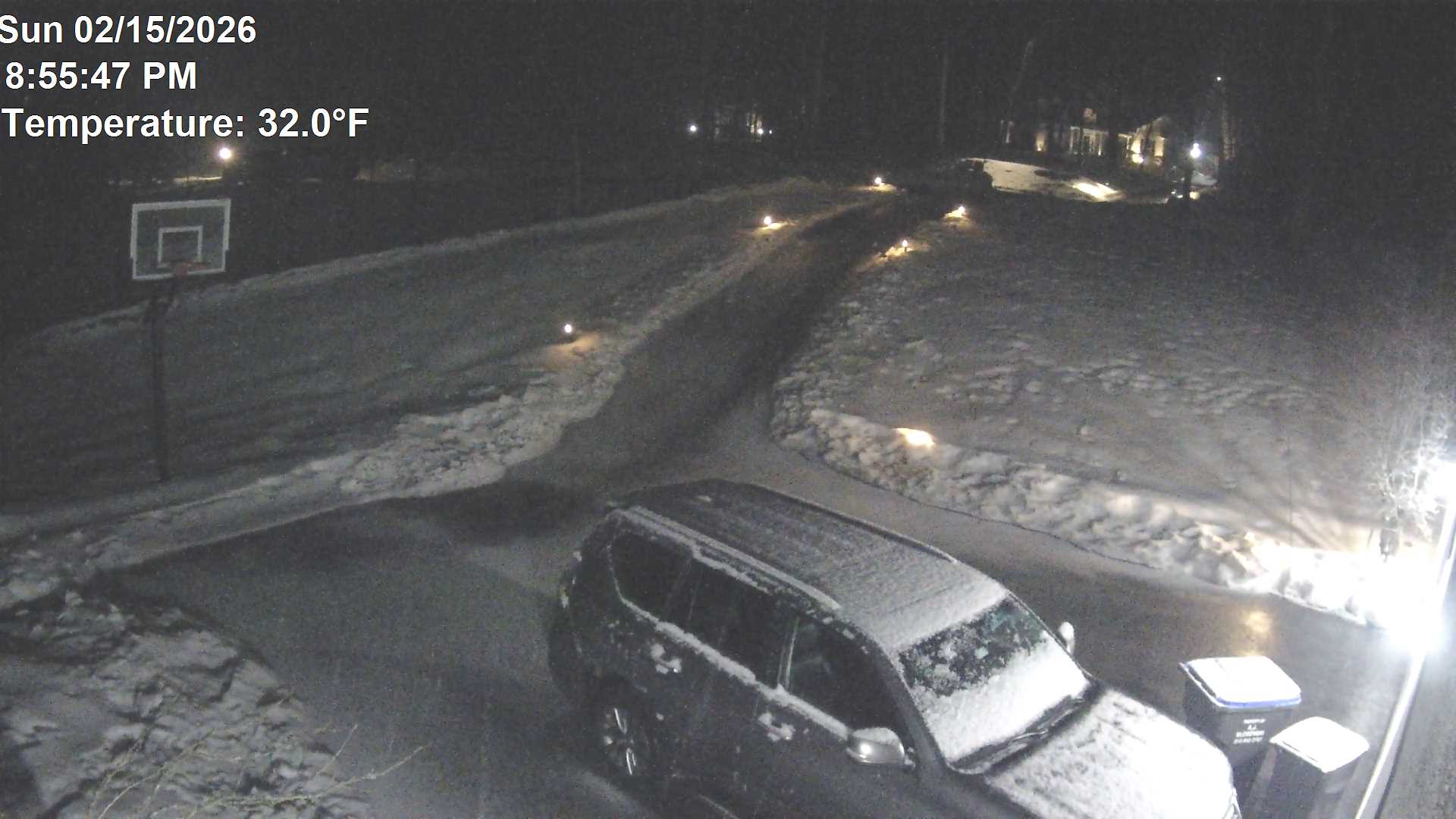
Moderate snow here in NW Chesco temp 32.0 even paved surfaces covered
-
Last NAM "before" the event...
-
Early Monday morning 2/16 last minute event OBS/Discussion
nesussxwx1 replied to The Iceman's topic in Philadelphia Region
Cold, cold rain. 34.9F. -
There were several examples in February, most notably one in mid Feb 1997 that was a 6-8" snowfall across Maryland in what was an otherwise god awful pac puke pattern. There were a couple examples in March also. Actually seems there was a pretty even distribution with one in November and a couple December events...January did have the most with 4. But a lot of those fringe season ones were a LONG time ago so... Here is an amazing stat....15/88 warning snows happened when 3/4 indexes were wrong! Now Chuck is trying to convince us if one of 4 or 2 of 4 factors are bad...its game over, which lately it has been...but he also says we shouldn't think anything has changed. Below is the index breakdown of all of Baltimores warning snowfalls from 1948-2019 and you can see there are quite a few where 1 or even 2 of the indexes are hostile including plenty of hostile EPO/PNA patterns. Obviously there was MORE snow when everything was good...but it wasn't as radically necessary to have a perfect pattern historically as it has been lately where if one or two things go wrong the whole thing goes to hell in a hand basket fast! EPO/PNA/AO/NAO - - - - 16 + + - - 13 - + - - 11 + - - - 10 - - + + 9 + + + + 6 - + + + 3
-

Central PA Winter 25/26 Discussion and Obs
canderson replied to MAG5035's topic in Upstate New York/Pennsylvania
Al rain here. And I finished drinking all the prep at 6 and … nothing. -
Yes lol this was April 18th 2020
-

Presidents' day Snow potential
Freezing Drizzle replied to WeatherGeek2025's topic in New York City Metro
Don't get too excited, I'm under it and it's very light...at least for now.