All Activity
- Past hour
-
That one put down another half an inch here. It was even heavier south of me as it moved through LaFollette and Jacksboro.
-
 It is “mixed“ to 850 and it’s 27 at 850 then the sfc has to be consistent with the adiabatic curve. Time of day doesn’t matter.
 -
 I’d have to look it up… but nothing is sticking out in a memorable way. Looking at the snow depth there was a decent gain in the first half of December that plateaued for a while before a Xmas thaw hit. Snow depth looks pretty normal in Dec 2014.
 -
 Well if the 27 C at 850 does not arrive until 6pm?
 -
What was Dec 2014 like there
-
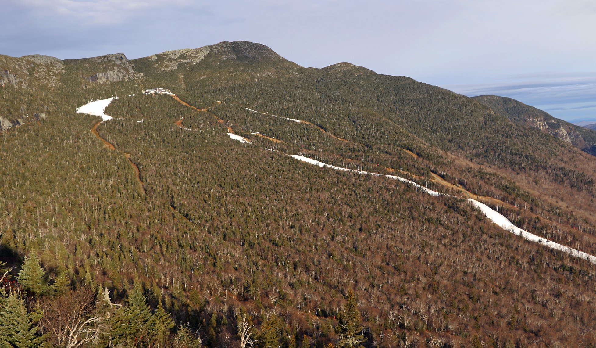
Christmas Day 2015 baby. Only time in 70 years without a trace of snow at the CO-OP stake. Not even ice on the cliffs. Had a couple nights cold enough to blow a white ribbon, ha.
-
 No we want to mix to 850
 -
PTSD from 15-16 there
- Yesterday
-
Was hoping we could stay in 70s but made it to 81.7 today. No additional measurable rainfall though it did rain/drizzle past noon
-
Reached 98 here. Dews fell from the mid 70's to the upper 50's during the hottest part of the day, so it wasn't that bad. Highest reading in the UP was 102 @ Baraga Plains. They're usually one of the top 5 cold spots too. One more day in the mid 90's, then back to more respectable summer weather.
-
.thumb.gif.f92b16c631a1d15d405ed77b33f0710d.gif) always a wintry winter there
always a wintry winter there -
 https://vgrsansordonnance.top/# Viagra vente libre allemagne
 -
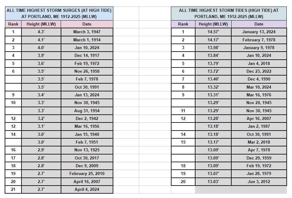
Updated from WFO GYX!
-
Since the WAA is continuous through the day and not in place for the start, the absolute max potential for temp is not realized, much to CoastalWx's dismay. BTW, we don't live at 850.
-
 Unfortunately there’s no avoiding that . 10” or less of snow?
 -
How many people in Waterbury VT are ordering wood chippers for this winter?
-
Another very heavy shower with lots of lightning and thunder is moving across from East to West. It doesn't seem common to get meandering upper level lows in summer but it's definitely a drought killer.
-
We're fortunate those 850s temps peak at night otherwise we would've seen another round of 105+ temps. All time state records would've been on the table.
-
Feels like we do that anyway these days, Nino or not.
-
 Everyone enjoying a outdoor bbq on New Year’s Eve on lawn chairs by the pool.
 -
Temperatures will peak in the lower to middle 80s tomorrow before heat begins to push in from the Plains States. A brief push of heat from an impressive heat dome over the Central and Northern Plains that sent the mercury to all-time records of 109° at Salt Lake City and 110° at Billings, MT could send temperatures into the 90s during Tuesday through Thursday. The potential exists for Newark to approach 100° at the height of the short period of heat. Friday will also be very warm before the temperatures ease for the weekend. The ENSO Region 1+2 anomaly was +3.4°C and the Region 3.4 anomaly was +1.8°C for the week centered around July 1. For the past six weeks, the ENSO Region 1+2 anomaly has averaged +2.80°C and the ENSO Region 3.4 anomaly has averaged +1.52°C. The ongoing strong El Niño will continue to strengthen through the summer. The SOI was -38.53 today. The preliminary Arctic Oscillation (AO) was -0.360 today. Based on sensitivity analysis applied to the latest guidance, there is an implied near 63% probability that New York City will have a warmer than normal July (1991-2020 normal). July will likely finish with a mean temperature near 78.7° (1.2° above normal). Supplemental Information: The projected mean would be 2.2° above the 1981-2010 normal monthly value.
-
 I recall the Mayan calendar hype..well here we are in 2026 lol..
 -
And the hottest winter ever. Let’s keep the heat for the next 12 months.
-
I want 27C at 850 at 18z tomorrow plz.
-
Just wait till that sets up for Xmas week.. Ray's place in methuen