All Activity
- Past hour
-
I’m down in Bedford for the weekend but it was raining in Stowe when we left this morning. Not much rain on the drive, just some mist at times. Looks about right for a Saturday.
-
There’s way too much taking model output and machine numbers verbatim. One look at that ridge and thicknesses from Thursday onward thru end of month shows high dews and steamy . Could be a day after a severe outbreak that dries a bit , but dews right back into 70’s after
-
The EPS is a warm look until very late in the period. It won’t be 95/75 every day, but there could be a few fairly oppressive days. This crap we have is done.
-
I guarantee you we wont get a day as cold as today in September.
-
61 degrees here at low noon =\
-
why are these models showing 70s on the south shore though?
-
Well stein disappeared
-
Yep
-
Moderate rain into CNJ with heavier rain in EPA
-
Take those dews up. Plenty of 70+ coming starting late next week.
-
well now September is becoming hotter than June lol about December, winter really starts after midmonth, early December still feels like fall.
-
With all due respect ... where are you seeing constraining factors on T or DP ? It isn't through conventional means, because from operational trends, to teleconnector/mass field correlations and back , the whole methodology has +2 ST DP and +1.5 SD T at this time, which in sensible terms is 91/73 type stuff ...roughly from D7 to 14 - but these time ranges are obviously negotiable. Course, we are talking still a week+ away. If you are constraining things based on seasonal trend to bone warm pattern and verIfy a low-balled result? okay. LOL
-
Also, can we get a new term for not raining? Stein doesn't work anymore. It's now become it's not pouring.
-
wow this is absolutely amazing, even the Poconos at 2000 ft will hit 95!!
-
Environments like this are notorious for significant heavy rain potential. 99th percentile PWATs for the day
-
I thought the rain was supposed to be over by now? This blows...
-
I don't think it will be as HHH as you would like it to be. It should be moderately above normal temps, but dewpoints are not going above mid 60's at most times in the extended term. Not seeing any sustained heat wave type stuff yet. Does look dry in terms of rainfall.
-
I am actually down closer to Annapolis now, but still in the region!
-
We typically don't start getting sustained warmth until mid late June. We typically don't get sustained cold until mid late December. We typically don't get sustained cooler/crisp weather until late Sept early Oct. We typically don't get sustained warmer days until late March/early April. Snow chances drop dramatically around March 20, 90 degree days are few after Sept 20....
-
Mostly sunny 11 AM on.
-
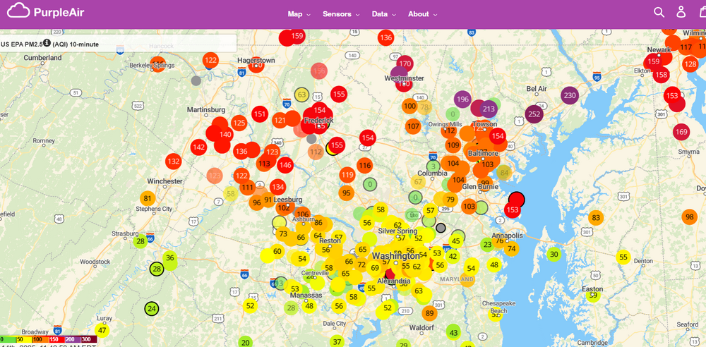
I thought it was fog and/or mist when I woke up until I went to let the dogs out and was hit with the smell.
-
It’s a HHH pattern folks. Deal With It - Cosgrove
-
Yikes, you all aren't kidding. Nothing noticeable down here.
-
The week after could be very warm. The cold BS like we have is done until November.
-
Pretty underwhelming here today, just drizzle, and not much of that.


