All Activity
- Past hour
-
 1989 - One of the most severe convective outbreaks of record came to a climax in southern California after four days. Thunderstorms deluged Benton CA with six inches of rain two days in a row, and the flooding which resulted caused more than a million dollars damage to homes and highways. Thunderstorms around Yellowstone Park WY produced four inches of rain in twenty minutes resulting in fifteen mudslides. Thunderstorms over Long Island NY drenched Suffolk County with 8 to 10 inches of rain. Twenty-three cities in the southeastern U.S. reported record low temperatures for the date. It was, for some cities, the fourth straight morning of record cold temperatures. (The National Weather Summary) (Storm Data) wow what was going on in 1989? we had another huge and terrible nationwide severe wx outbreak in November 1989 (which has been discussed before on here.) 1944 - The temperature at Burlington, VT, soared to an all-time record high of 101 degrees. (The Weather Channel) The Dog Days officially come to an end on this date, having begun the third day in July. Superstition has it that dogs tend to become mad during that time of the year. (The Weather Channel) Look at how hot 1944 was, absolutely amazing !! Highs: EWR: 102 (1949) NYC: 102 (1944) LGA: 99 (1949) JFK: 99 (1949) 1949 too, I would have been pissed off, JFK hit 99 instead of 100 lol. 1933: The shade temperature reached 136.4° at San Luis, Mexico, to unofficially share the world record with Aziziyah, Lybia. (Ref. Wilson Wx. History) 1936: The warmest August temperature ever recorded in both Oklahoma City and Wichita Falls occurred on this date. The morning low in Oklahoma City was a warm 82°, before both cities warmed up to a very hot 113°. The old August record in Oklahoma City was 112, which was set the day before. In Wichita Falls, this record was tied on 8/6/1964. (Ref. Wilson Wx. History) Tony what happened to this 1933 record from Mexico, I don't see it mentioned anywhere? and 1936 endless heat continued....
 -
Why u telling me?
-
I have 93 pool closing degrees.
-
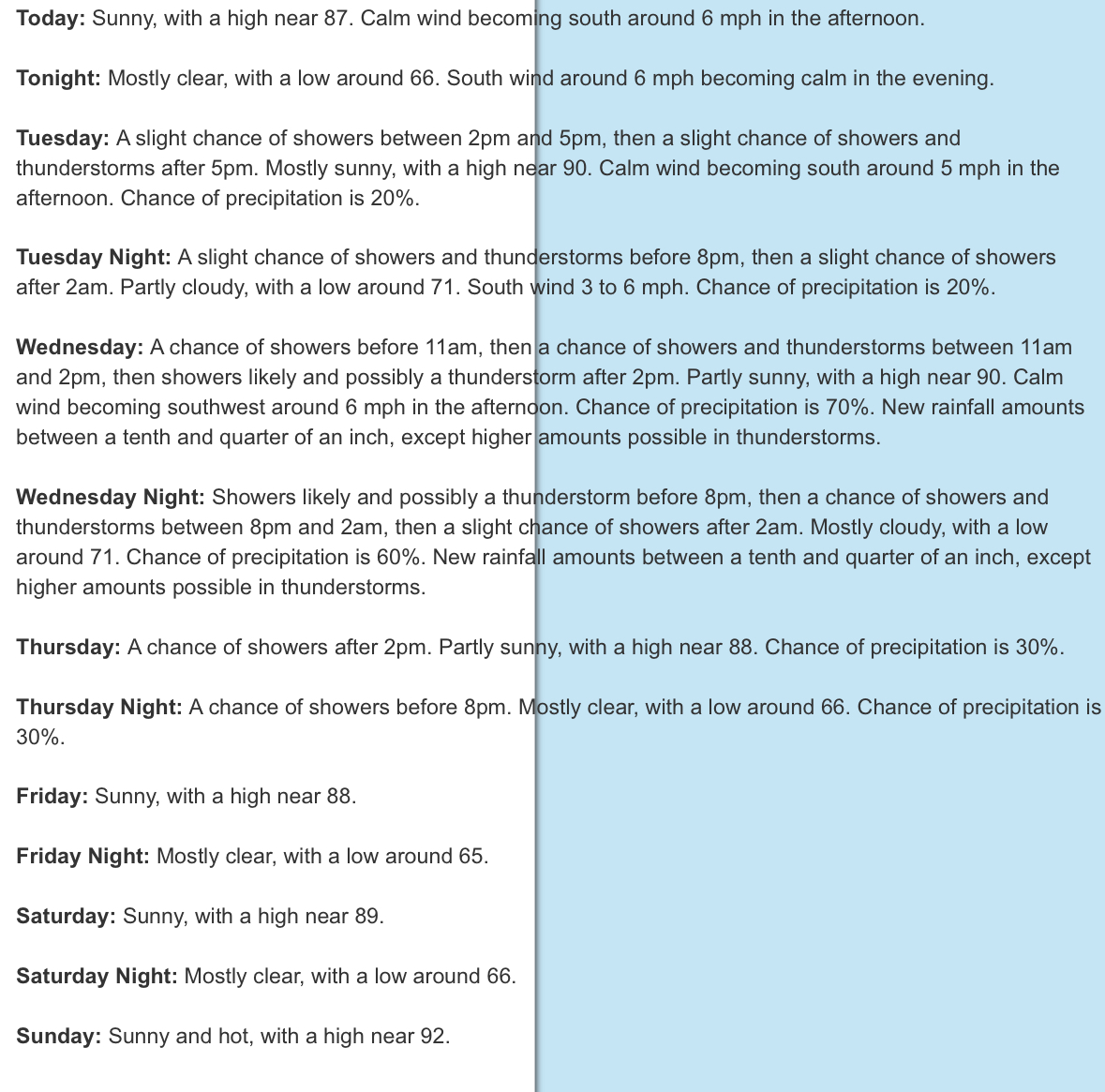
Just feedin the troll Here's his statement from Friday Posted Friday at 09:03 PM It’s getting pretty dry and no significant rain chances at all in the extended forecast. And we probably will have heat advisories later next week. It’s going to be incredibly hot and humid again. Hence my reply from NWS morning disco for CTP stating humidity will be lower later this week. While I can do this all day w/ you, I've got to get back to work. Go back to your home thread and muck it up in there. We don't care.
-
Heat is generally stronger to the north because those places are further away from the moderating effects of the ocean. Manhattan is an island.
-
I suppose we are due for a colder and snowier stretch, but nothing I have seen or heard seems to argue for their call. On the other hand, I don't see massive torching either.
-
Maybe 100 finally
-
But Newark's temperatures are always 3-5 degrees hotter than the rest of the area.
-
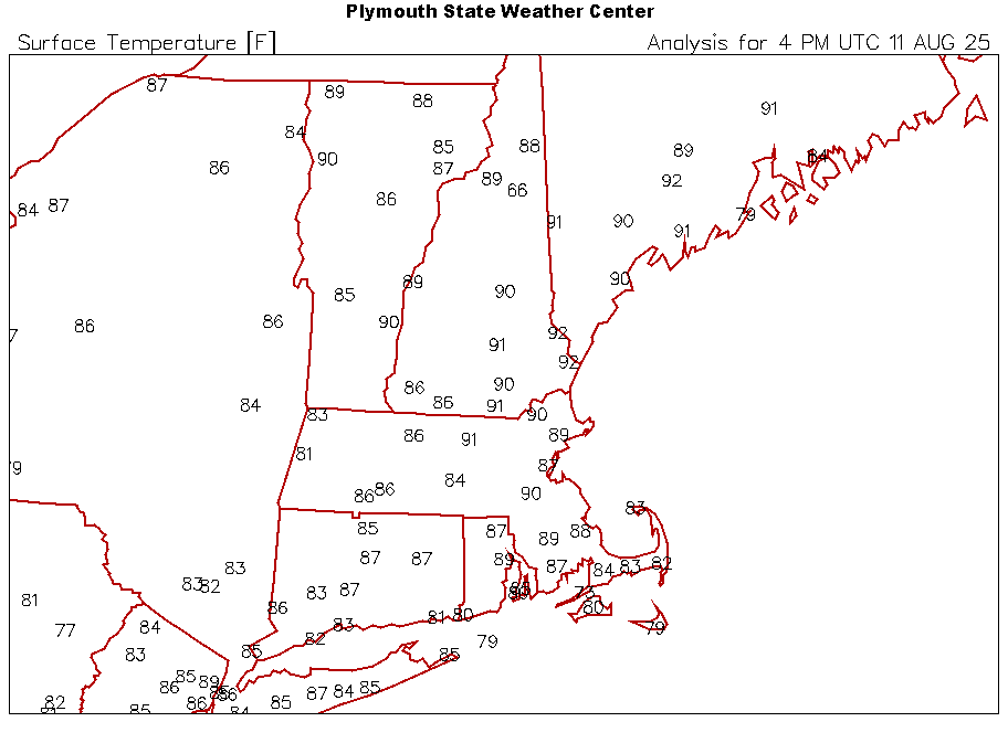
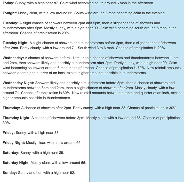
Noon temps for dryslot
-
this all started with ASOS because mets are lazy, we should go back to how it was before things became automated
-
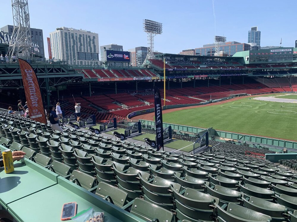
Friend is at Fenway for some golf thing. Must be hot.
-
the history of TC in our area is if they are offshore and recurve, we usually get big heat right after they leave our area
-
Have you looked at the gfs?
-
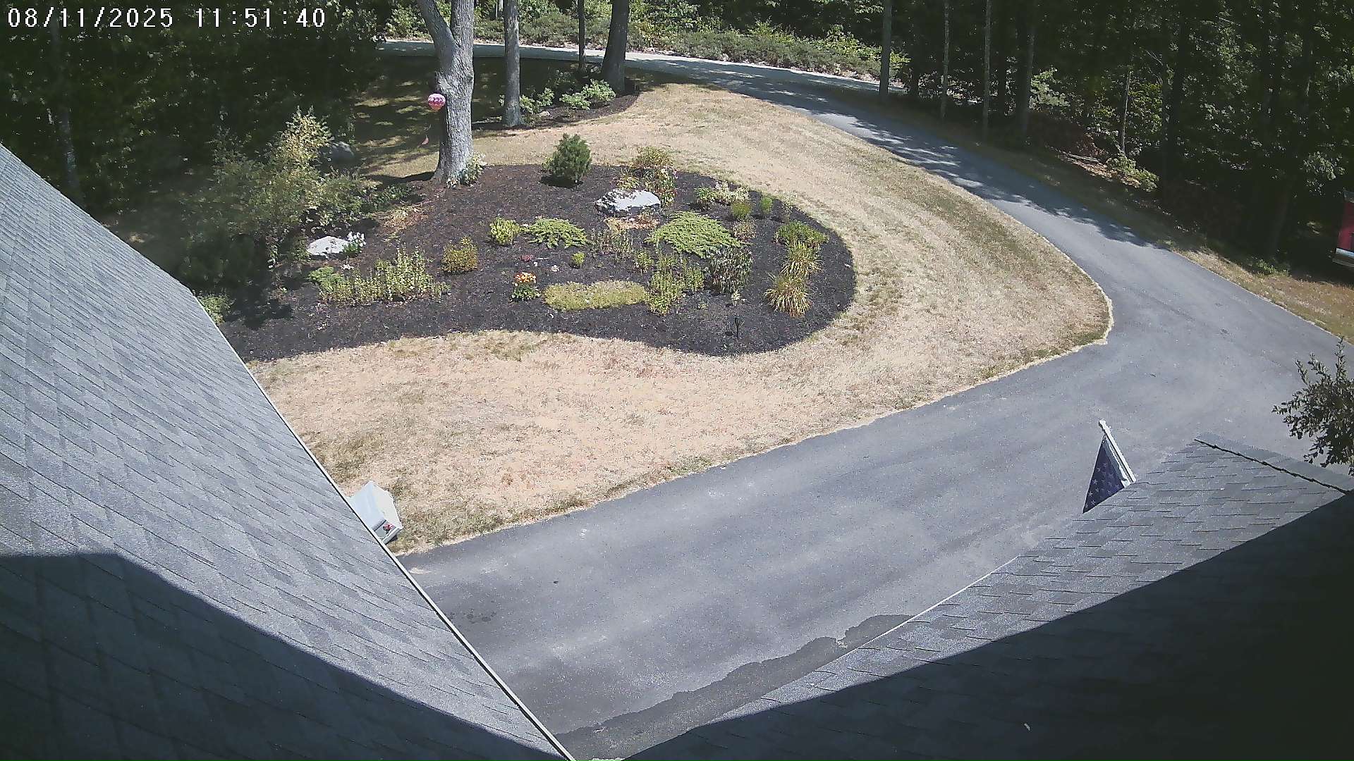
91/69. Lawn be toast.

-
Agree to disagree. Enjoy your “step down” pattern!
-
Meso models seem to have really struggled this summer.
-
Right...because I haven't seen any long range Euro heat waves posted in here.
-
 Always recording variable
 -
I'm at 1.45 now. Couple more heavy cells in Rutherford heading this way
-
I know who he is. He’s a huge Euro / EPS user. All he basis ideas on, Just tread lightly
-
Heat burn.
-
 nyc's wind obs are also garbage
 -
Sometimes I even surprise myself with the level of genius I occasionally display
-
newark is sited properly and knyc isn't. hope this helps