All Activity
- Past hour
-
Yep good call! Frost advisories out for Litchfield county. Spotty frost for Western Mass.
-
It will turn cooler tomorrow before warm air returns to the region ahead of an advancing cold front. The weekend will turn cooler again by Sunday. A wet pattern is likely Sunday through Wednesday. The ENSO Region 1+2 anomaly was -0.3°C and the Region 3.4 anomaly was 0.0°C for the week centered around April 23. For the past six weeks, the ENSO Region 1+2 anomaly has averaged +0.82°C and the ENSO Region 3.4 anomaly has averaged -0.05°C. Neutral ENSO conditions will likely continue through at least early summer. Early indications are that summer 2025 will be warmer than normal in the New York City and Philadelphia areas. The potential exists for a much warmer than normal summer (more than 1° above normal). The SOI was -6.71 today. The preliminary Arctic Oscillation (AO) was +1.619 today.
-

Spring 2025 Medium/Long Range Discussion
Jackstraw replied to Chicago Storm's topic in Lakes/Ohio Valley
Keep those 60 dewpoints south and I'm a happy camper. I know many like it hot but not me. I'll take 70's and 50's for as long as I can get them. Y'all will get your 80-90 degree days soon enough -
High of 74.5 here today. Can not ask for a more perfect day.
-
To my surprise ABC27 is calling for a similar event tomorrow evening, that we just experienced last evening.
-
Maybe slow gain, but slow decline as well get your Coppertone ready!
-
Roughly about 35 minutes remaining on sunrise gains and sunset gains. Slow gain on both between now and about June 21st. To @MJO812and @nycwinter hang in there !
-
looks frosty for the first morning of May here
-
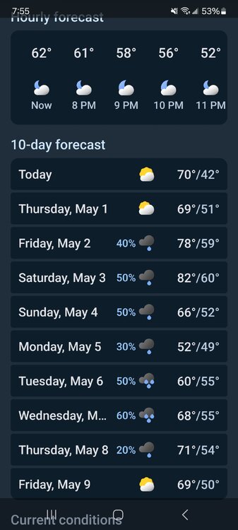
What a shitty weather pattern coming up next week...ugh Sunday A chance of showers. Mostly cloudy, with a high near 63. Chance of precipitation is 40%. Sunday Night A chance of showers. Mostly cloudy, with a low around 45. Chance of precipitation is 40%. Monday A chance of showers. Mostly cloudy, with a high near 61. Chance of precipitation is 30%. Monday Night A chance of showers. Mostly cloudy, with a low around 45. Chance of precipitation is 40%. Tuesday A chance of showers. Mostly cloudy, with a high near 65. Chance of precipitation is 50%. Tuesday Night A chance of showers. Mostly cloudy, with a low around 52. Chance of precipitation is 40%. Wednesday A chance of showers. Mostly cloudy, with a high near 69. Chance of precipitation is 30%.
-
Weather apps?
- Yesterday
-
A couple showers for a week or two. No big deal.
-

2025 Spring/Summer Mountain Thread
Maggie Valley Steve replied to Maggie Valley Steve's topic in Southeastern States
We've had 3 showers with 2 that brought thunder across the Valley. Tomorrow looks even more active! Finished up putting down 90 bags of mulch this afternoon. Still need another 10 to 15 bags to complete that project before shifting to extensive pressure washing of decks. -
Wouldn’t be May without a week ruined by a cutoff.
-
They’ll be in the 60’s . The woodyard will be wet and Dewey
-
dews are fine its the heat dew combo that sucks
-
Today's daylight 13H55M is roughly equivalent to Aug 11th.
-
Just brutal. You tried to tell them.

-
Or August
-
That’s the great thing about Friday thru next week. They want the floods.. that comes with high dews. I expect the few holdouts install tomorrow
-
Meh
-
perfect for Mid May

-
I'll take it as long as we keep the 90s away.. no idea how some like it 90/75 its miserable
-
18z CMC has a fire hose for SNE https://collaboration.cmc.ec.gc.ca/cmc/cmdn/pcpn_type/pcpn_type_gem_reg.html
-
Dews are coming. Gulf of Mexico is AN. Ass sweat here we come.
-
I wish we could lock this run in... if we can hold off the heat and dews until June and July then get lucky enough to have a cooler August that would be great!


