All Activity
- Past hour
-

-
Future radar has nenj right in the crosshairs for the heavy stuff. Just what we needed....more rain LOL
-
Gotta be effin kidding me
-
71 was my low.
-
So much for the supposedly reliable Euro having this rain pass through Northern New England hahahaha What a garbage model
-
-
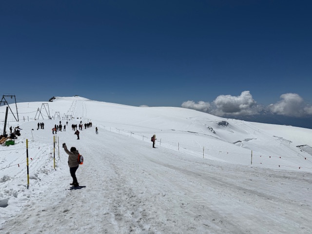
So would love to be skiing… but still cool
-
 Shower-thunderstorm-cloud debris event today has suppressing impact on MAX T here... hoping we can reach 90-92 at 530P. How it plays exactly I dont know. 00z/06z/22 M-W GEFS and NWS BOM numbers a little less than the amped EPS. Can't be sure what happens and for now stay the course...but offer hope that this heat episode might not be quite as dire as headlined but still significant life impact in our area. Urging: Continue preparedness as stated in NWS products. Seems like better chance for the headline 4 day period verifying in Philly--DC areas. They're pretty used to this mid summer but no doubt it's still a vigorous potent early season heat episode. Action packed afternoon-evenings late Wed 6/25 into early July and lawns-gardens will have brief significant dousings etc. In essence... headline confidence slightly lower but will let the numbers decide the next 4 days.
 -

-
good i hope the city does not hit 90 today...
-
weather forecasters have been dropping the ball for awhile now they cant even predict what the weather could be a day in advance..
-
Left for work and was like "why is it so dam dark to my north and northwest". Look at radar and was like ohhhhhhhhhh. 74 and crazy humid at home, 70 and same at work. Bugs, no idea what flying everywhere getting in eyes and mouth just walking to work.
-
We will have to wait and see if the 79F reading holds at Green Bay, that would set a new June monthly high and tie the all-time record high.
-
Holy crap what model had the rain this far west? Did they literally all drop the ball?
-
Looking at vis it is gonna be cloudy well into mid or late afternoon I knew it. Debris clouds ruined the day for heat
-
-
 Great here comes the steam bath. Morning Rain and Humidity.
 -
Looks like we'll bottom out at 80+
-
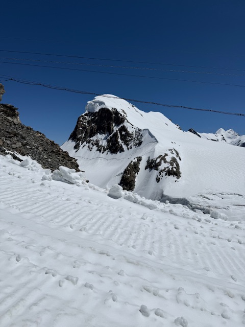
Cooling off in Italy
-
Way less
-
Only 0.11” here. Pretty much done.
-
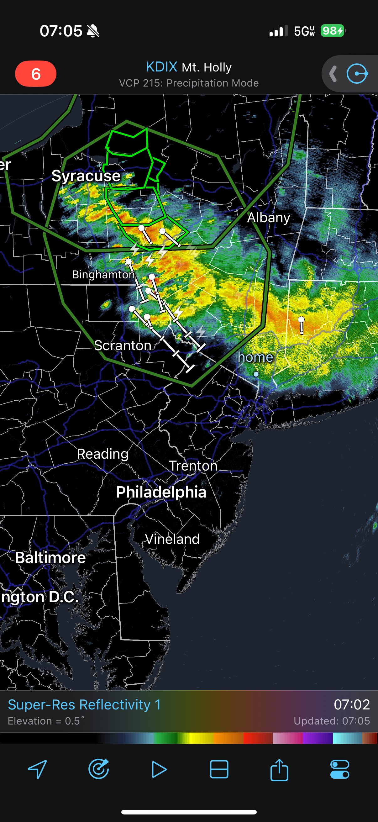
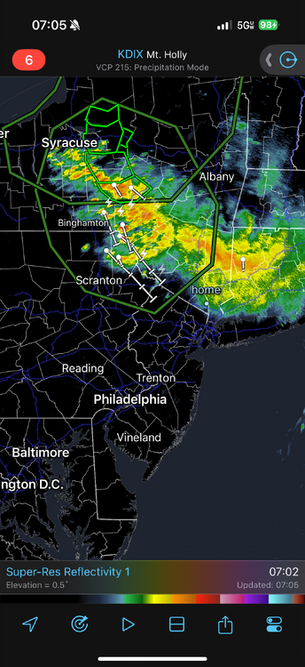
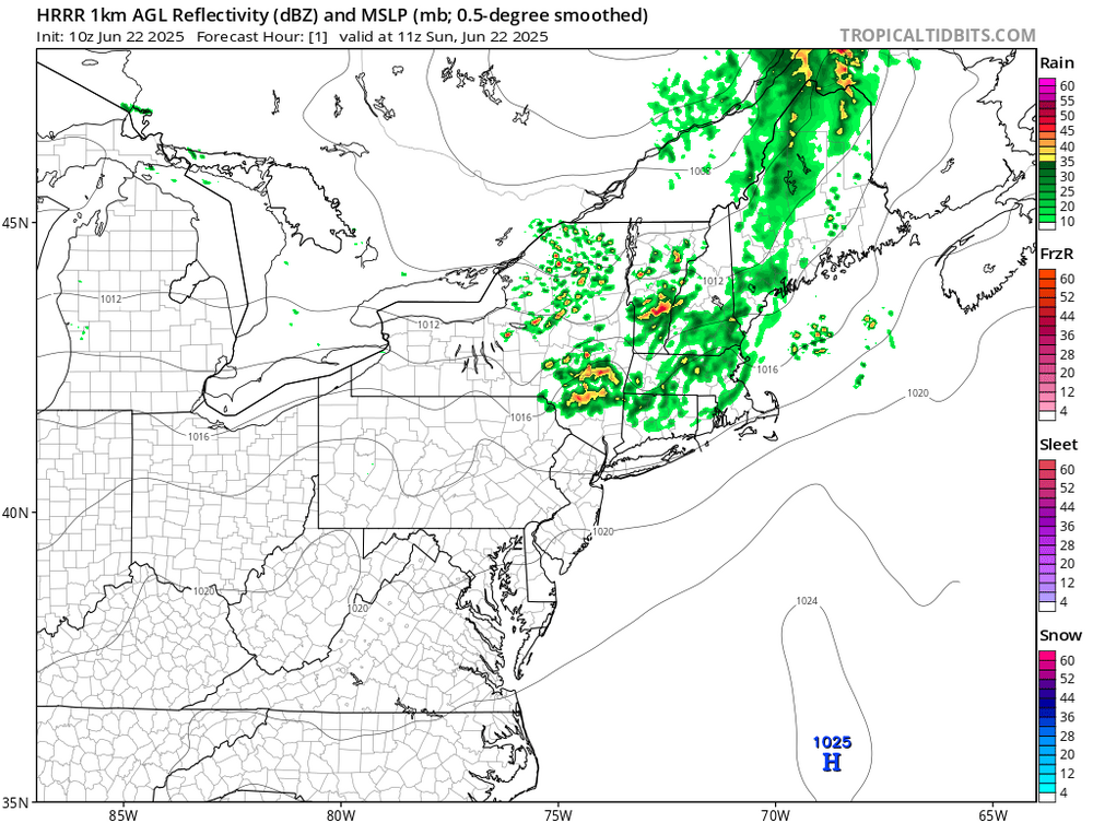
Upton's thoughts A shortwave pushing through southeastern Canada has forced the development of an MCS that is making its way southeastward through Upstate New York. Despiteits progression toward the area this morning, there remains substantial uncertainty in its ability tomaintain itself as it approaches this morning. The MCS is moving into a less favorable environment and while CAMs disagree as to the exact track and continuance of the MCS, the chance exists for showers and thunderstorms to move into the area this morning.
-
64 degrees this morning, but here comes the sun.
-
Canceling tee time. Stupid crap. Was going to play in belchertown. Looks like they might get 3/4 of an inch. With the lightning around it would back the course way the eff up.
-