brooklynwx99
-
Posts
6,233 -
Joined
-
Last visited
Content Type
Profiles
Blogs
Forums
American Weather
Media Demo
Store
Gallery
Everything posted by brooklynwx99
-
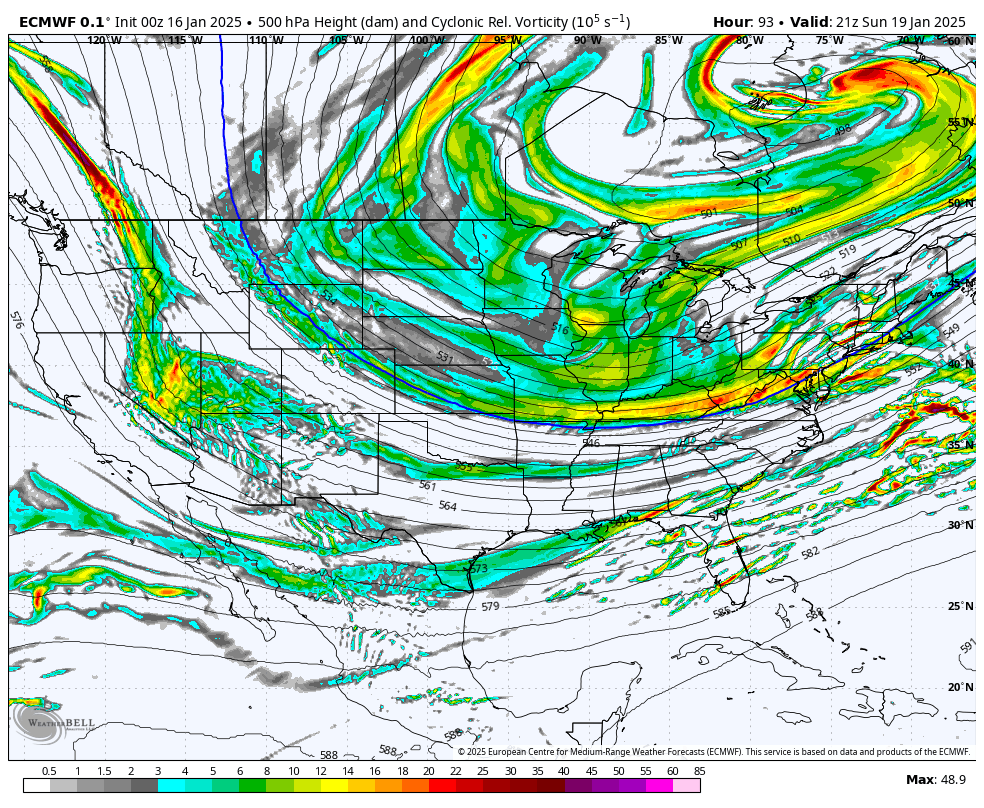
lol. just looking more and more like 2013-14

-
yup. EPS has been consistently pressing it down
-
EPS just beating down the SE ridge
-

January Medium/Long Range: A snowy January ahead?
brooklynwx99 replied to mappy's topic in Mid Atlantic
EPS is just beating down the SE ridge
-
EPS is NW of the OP, similar to 06z
-
yup, definitely continues the NW trend here
-
EPS is going to be NW of the OP. vort actually looks a bit better than it did at 06z
-
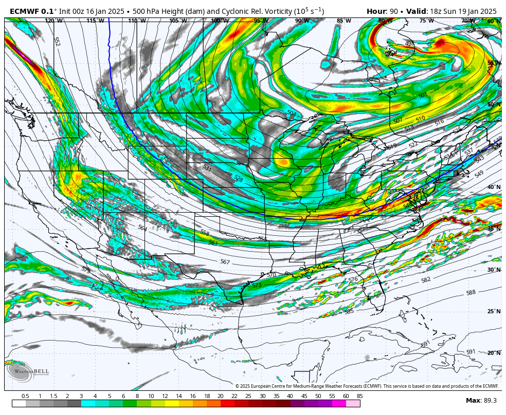
GEPS is wetter and a tick farther SE
-
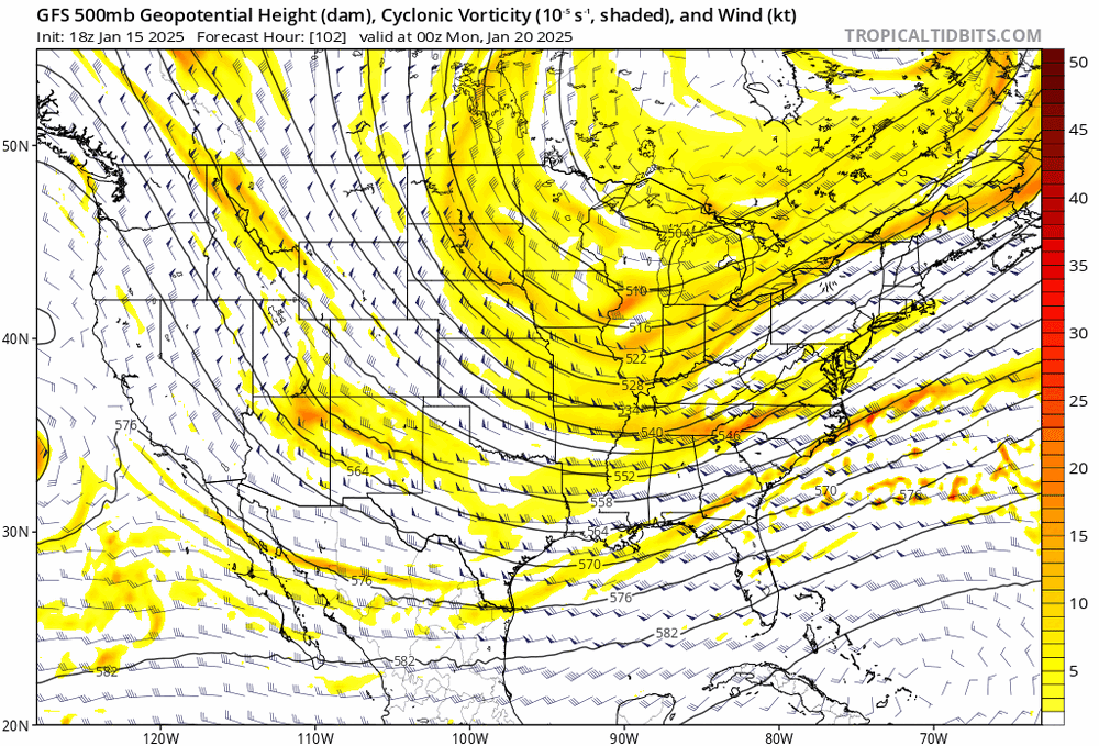
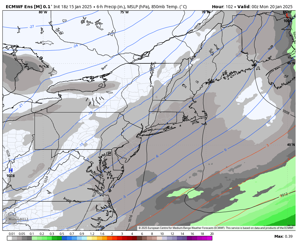
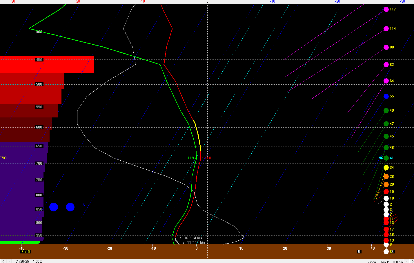
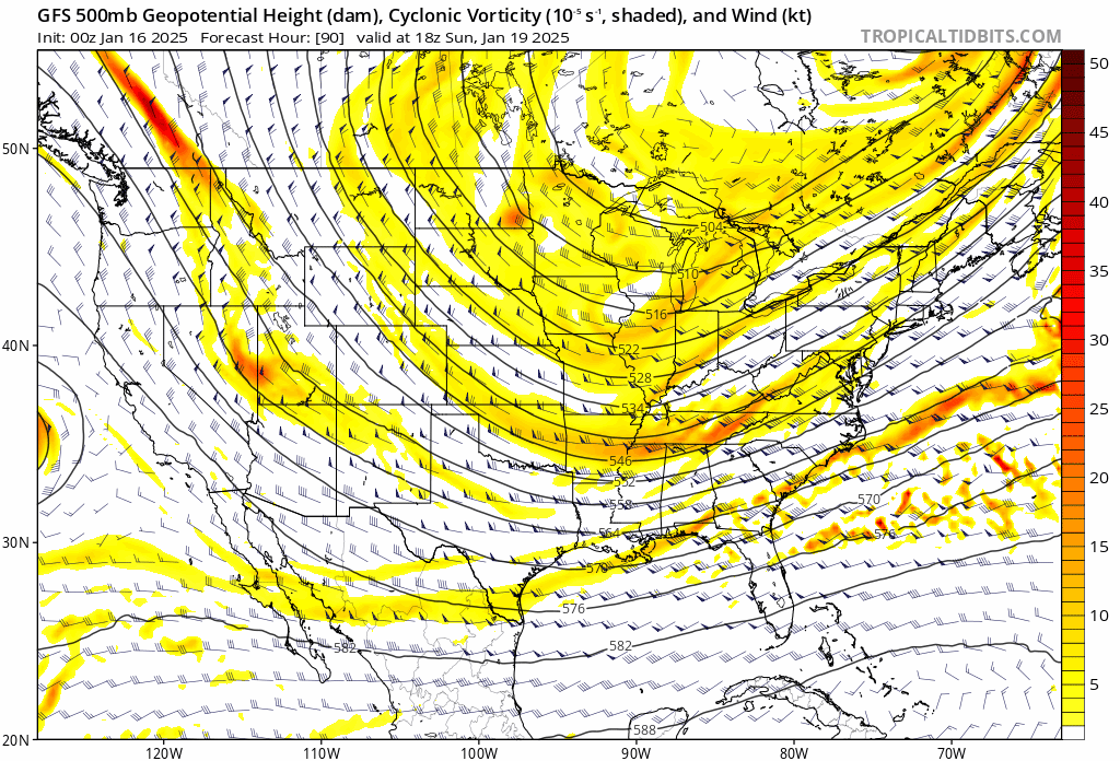
also, soundings for NNJ from the GFS would be more like 15:1 rather than 10:1 given very cold temps and lots of lift in the DGZ. although kinda early to talk about SLR, these kinds of Arctic waves often have pretty good profiles for higher ratios

-
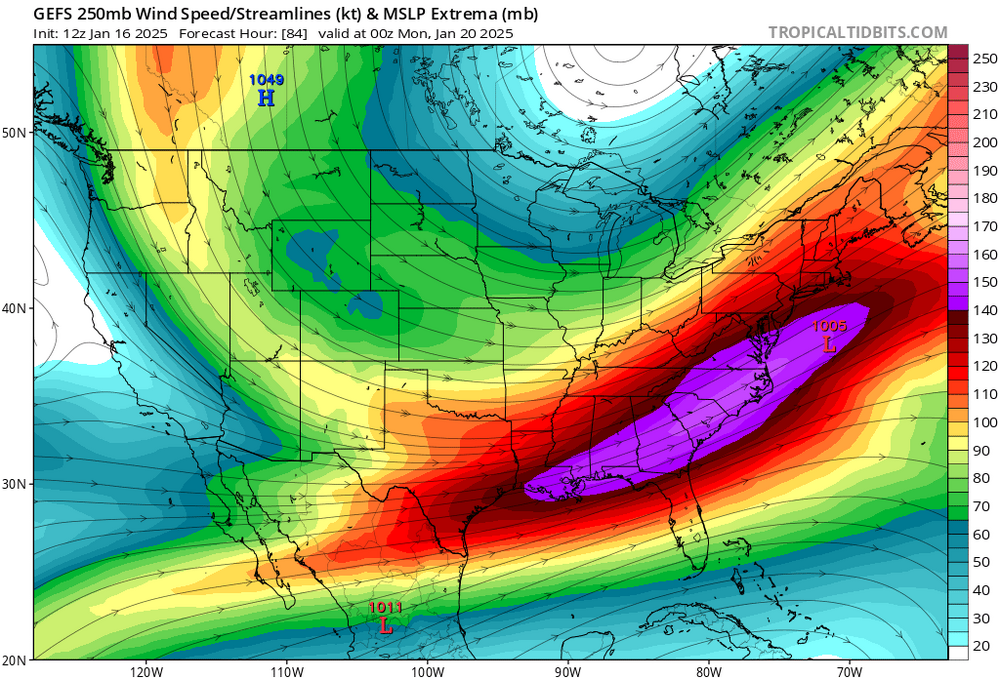
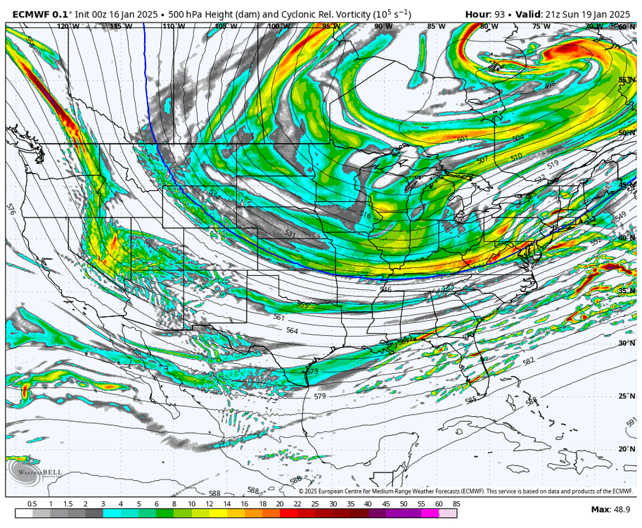
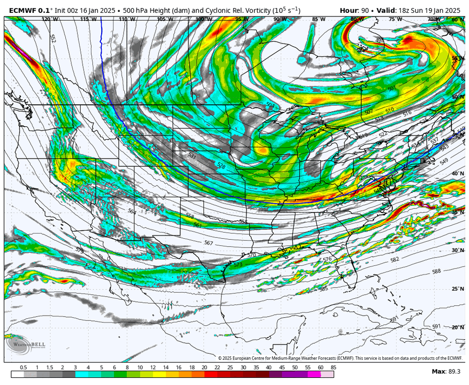
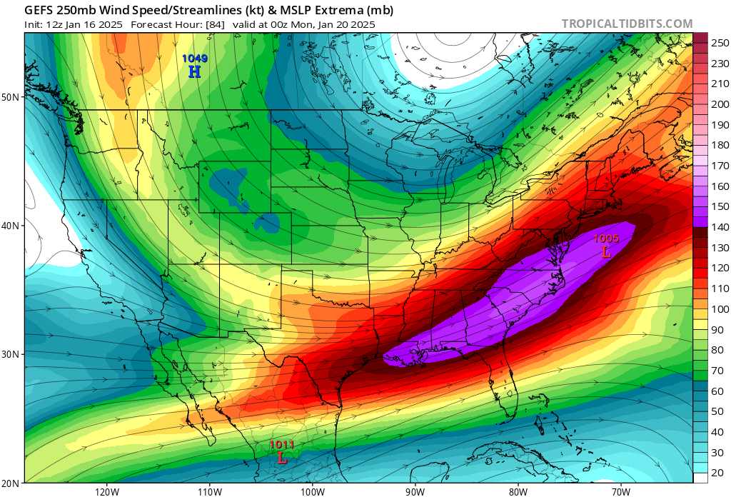
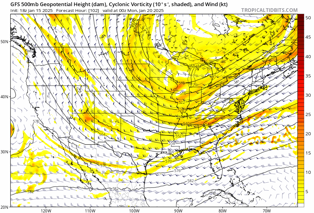
should get a pretty broad precip shield given that we're in the left exit region
-
January Medium/Long Range: A snowy January ahead?
brooklynwx99 replied to mappy's topic in Mid Atlantic
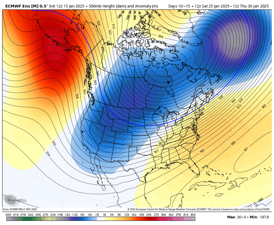
the 22-24th period is a modeling disaster. best to not tie yourself down to any particular solution and let things settle themselves. both the GFS and CMC are equally viable at this point -
my point
-
most predictable NW trend ever
-
yeah, more amped with higher downstream heights
.thumb.gif.8b91247237e1fa510f9dd3aa0834179b.gif)
-
lol
-
just a small shift in the consolidation of the vort leads to big changes on the ECMWF here
-
EPS looks better for the 22nd. more amped members than you’d think

-
also has a decent signal for the 22nd with the trough tightening up more

-
EPS looks good!
-
January Medium/Long Range: A snowy January ahead?
brooklynwx99 replied to mappy's topic in Mid Atlantic
EPS is actually pretty damn solid for the 22nd. lots of hits with the trough swinging a bit more
-
January Medium/Long Range: A snowy January ahead?
brooklynwx99 replied to mappy's topic in Mid Atlantic
the difference between the CMC and ECMWF is quite small. really difficult forecast
-
the difference between the CMC and ECMWF is quite small. really difficult forecast
-
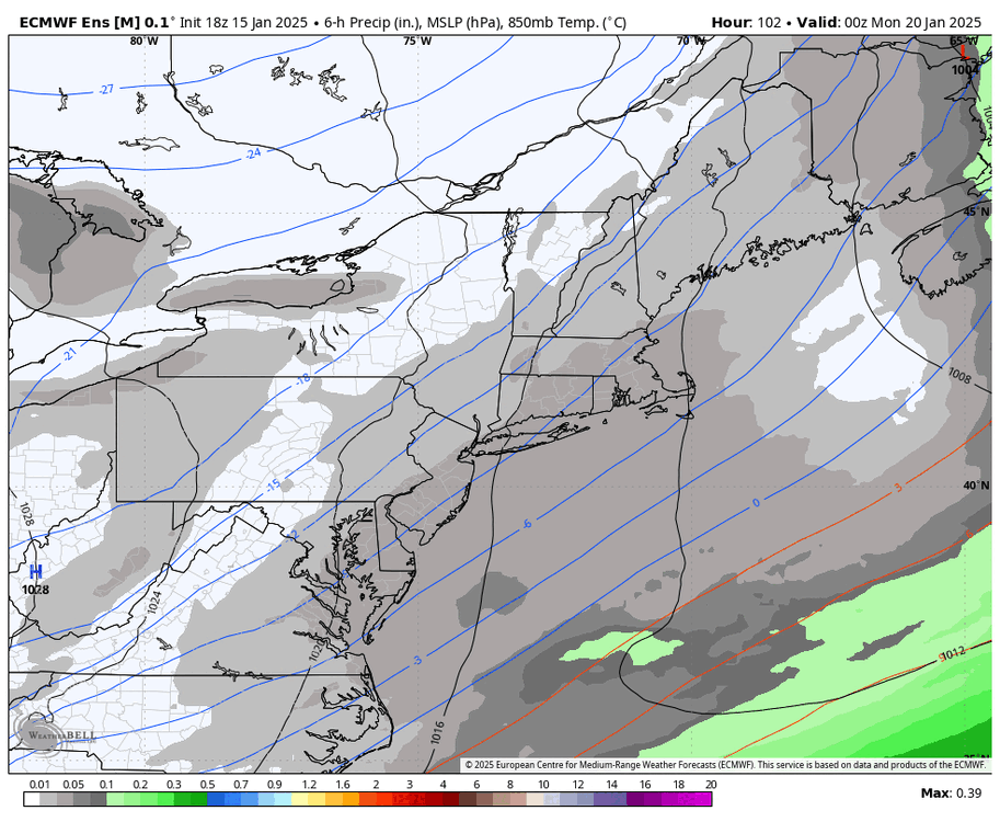
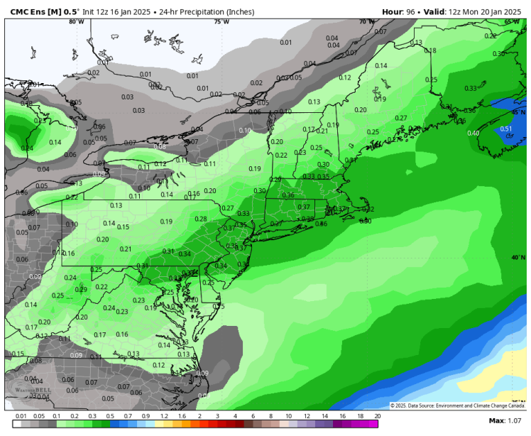
this is the difference between next to nothing on the ECMWF and widespread 3-6" on the CMC. good luck figuring that out

-
GFS is notoriously progressive in these setups
-
CMC likely moves SE given the RGEM deamplifying from 12z


.gif.a14bf727bf1ee348d477176ccfbb3d67.gif)