FXWX
-
Posts
1,377 -
Joined
-
Last visited
Content Type
Profiles
Blogs
Forums
American Weather
Media Demo
Store
Gallery
Everything posted by FXWX
-
With lots of half days already in place, you are probably right?
-
If it were that simple, he would have already made a billion dollars in the energy sector! Lol
-
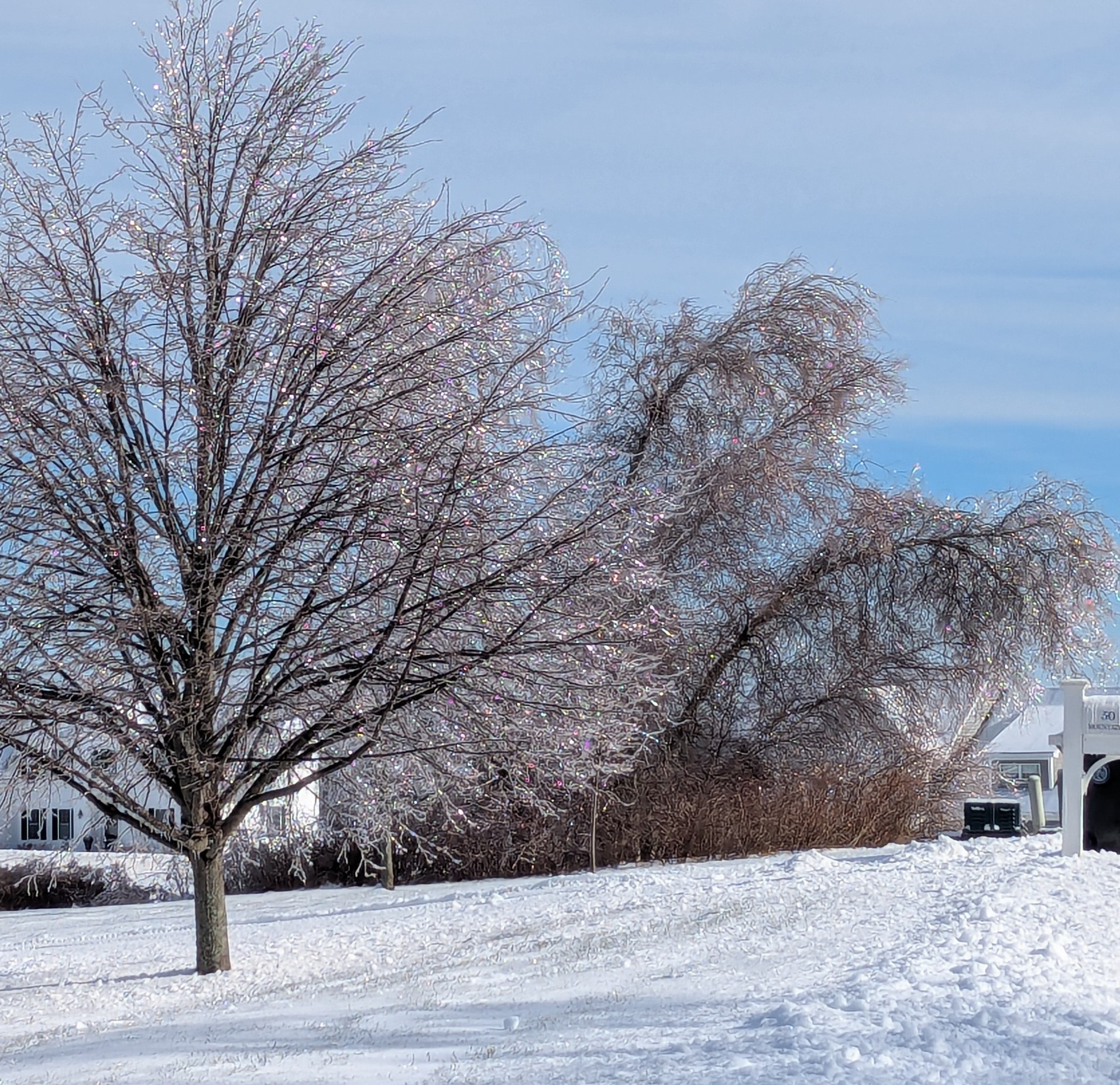
Burlington CTPXL_20251219_184936304.RAW-02.ORIGINAL.dng
-
Fielded lots of calls about that today! The worry about bus routes and tree limbs falling is always a significant concern for many districts. Many districts will be in the middle of their elementary bus runs as this event ramps up. But given the fickle nature of tree damage and strong wind events in general, usually nothing proactive you can do in advance; unless we are dealing with the rare case of a true tropical system coming onshore. Hopefully this event under-performs, like most of our wind events? But it does have chance to be locally nasty.
-
8 to 2 pm
-
Off topic, but not sure where to post the news, that a move is underway to dismantle NCAR! The critical role NCAR plays in vital / critical research associated with climate assessment and all types of hazardous weather is huge.
-
Yes, but it was a hell of a 30 year run!
-
Did "Cold Air Advisory" replace "Wind Chill Advisory"?
-
2.8" my final today...
-
-
Highest!
-
Yes... Right on the Harwinton line. Mountain Top Pass in the Johnnycake Mtn area. Highway building lots in HFD county; lol
-
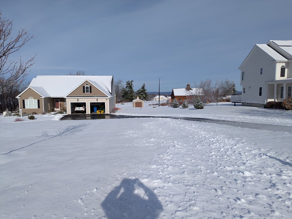
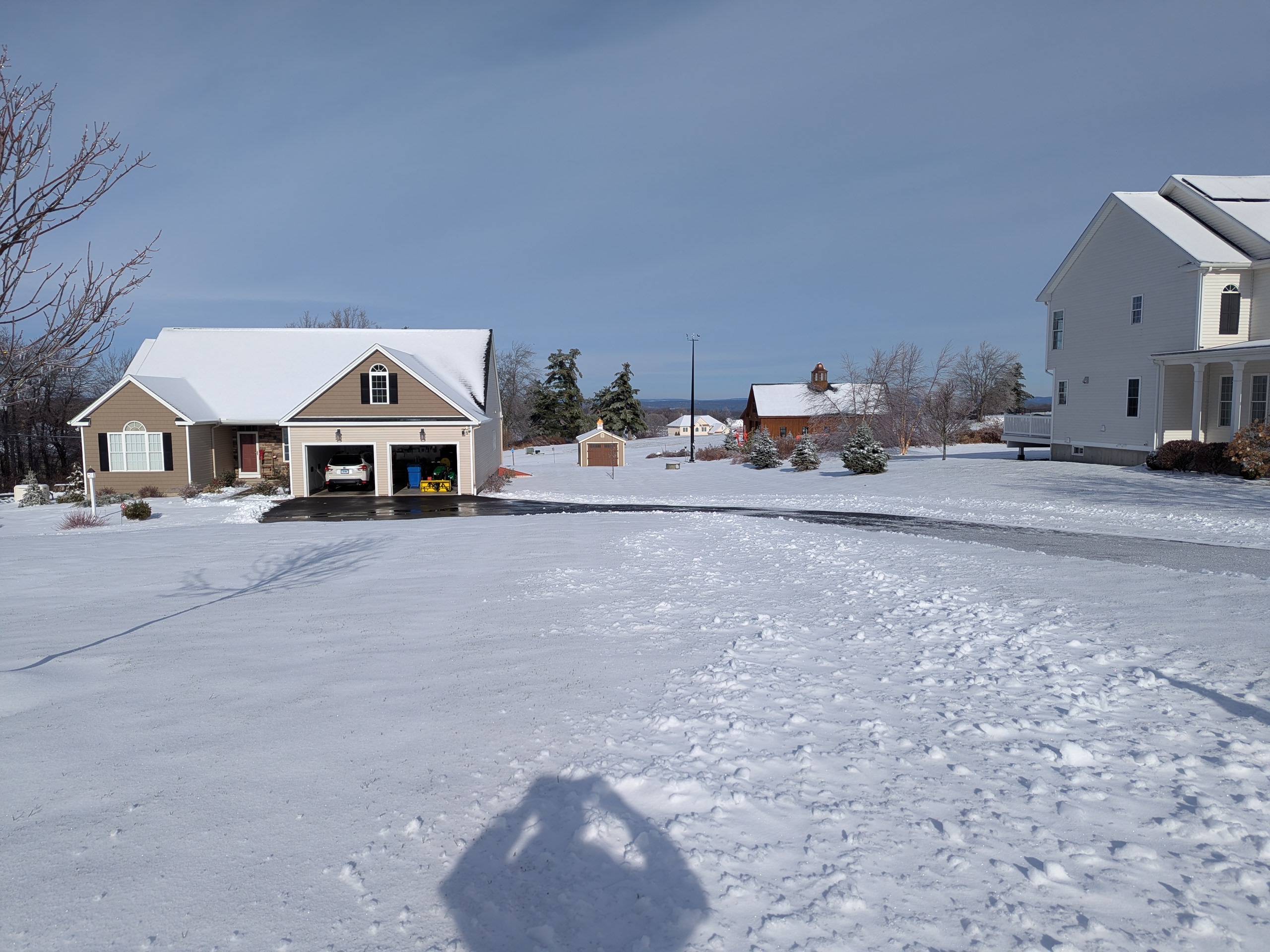
At my location in Burlington (~1200') measured 0.5"
-
Thanks... Fits other obs
-
Wolfie... What are you estimating at your location right now?
-
I am not nearly as conservative you are Wiz, but your concerns are valid... Sometimes we tend to look for more reasons for it to snow and not emphasis any negative aspects... I'm ok with 1 to 2 north of the 84 corridor but have been wary about hitting +2-inch amounts too hard... 2 to 3 southwards into the coastal plain with 4-inch spots. I might be under-playing fluff factor, but need to see fronto zone come northward a bit before I become more bullish across northern third of CT. Slight norward shift would be enough for me to become more bullish...
-
Agree...
-
I remain cautious and quite conservative anywhere along and north of the I-84 corridor; a general 1.5 to 2, with low pop of iso 3"? Cape area looks good; 3 to 5, spot 5+; and a general 2 to 3 with isolated 4's across southern CT; maxing out in New London County...
-
Easy is not a word I've used frequently the last few years... I do like the tight low/mid level thermal gradient, and know if we can force enough convergence into that gradient, it would produce a decent snowfall? But I need to see consistent guidance trending that way. If I do, I'll move from a general 1 to 2 to a call to a 2-to-4-inch forecast, biased east and southeast. I'll be working from the Cape this weekend, so I expect to see snow even if CT underperforms.
-
I see you're using the 40 to 1 ratio rule!
-
Humor...That's all we've got left...
-
Makes perfect sense since they both ended up in the Mid-Atlantic!
-
I think the 18z was ready early this evening Will be interesting to see how quickly Ncep releases it starting on 17th?
-
Probably late to the news but didn't know Polar Wx added new AI-GFS; GraphCast - GFS model, and the NOAA version goes operational Dec. 17th... Its 18z run looks similar to Euro products for Sunday... Link below... https://t.co/ckQkMydRHT
-