SouthCoastMA
-
Posts
8,542 -
Joined
-
Last visited
Content Type
Profiles
Blogs
Forums
American Weather
Media Demo
Store
Gallery
Everything posted by SouthCoastMA
-
Looks like shite after Wed
-
Yeah now a steady light snow. The type that would bring out the Templeton buck tooth snow emojis
-
Flurries around this morning.
-
I have a 9yo golden, turning 10 in April. Starting to groan a lot and getting arthritic. It sucks
-
It's that time of year when my wife or daughter asks me what the temperature will be outside and I'm like "No idea"..becuase I don't have enough interest to check models or forecasts. Yawn.
-
Maybe .1" or .2" if I cared to measure, but nah. The 'flakes' were basically snow pellets..almost like cauliflower rice or those tiny styrofoam packing balls
-
Coated up
-
1.96" - will end up closer to 2.5" at this rate
-
1.65" so far here
-
Those 30's in NE mass say, good luck with that verifying
-
86 years old, it happens
-
Most years, hard to even expect consistent summery weather (70s+) here until Father's day. Kinda expecting a porking this spring anyhow, so those 60s are going to be elusive indefinitely unless we get this pattern outta here
-
@ineedsnowupon hearing powderfreak posted a snowy ICON run for SNE

-
Summit is around 300mb heh
-
Convective inner eyewall snow squalls? Sign me up
-
There will probably be some nuisance colder-profile storm on April 7th or something that drops 1-3" of slop somewhere in elevated SNE. But I'm pretty much done with winter at this point.
-
yea we also had a pole down overnight, at the entrance of the local school. 2 hour delay
-
I've realized that my true passion is snowstorms. I guess I'd also be interested in a tropical system or severe storms if they panned out, but cutters bore me, generally. Need something damaging like Oct 21 to peek my interest, or early March 2018
-
Does look a bit more active and possibly wintery in the last 10 days of March. A few chances starting to appear at least, with cold enough air in place
-
6z EURO AIFS had a couple chances between 3/21-3/23.
-
You can tell how exciting the current pattern is with the number of people browsing this thread
-
Who knows, maybe some overrunning/SWFE potential in the last week of March..but nothing really to get excited about. Could easily turn into another cutter or two.
-
weathergeek, can you polish this turd for me with AI

-
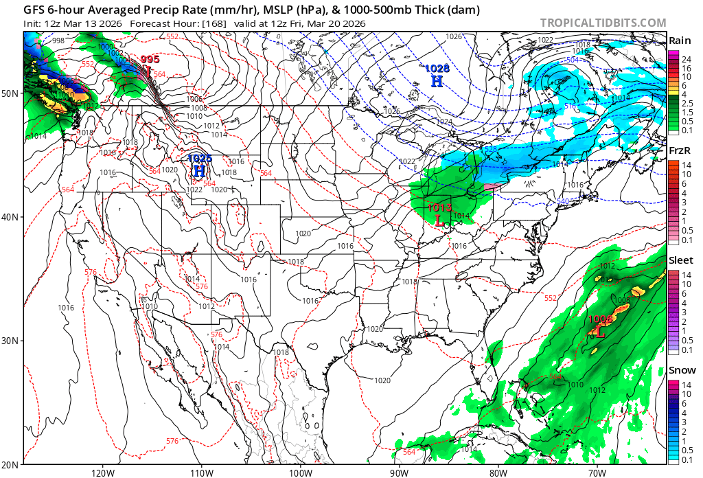
the 6z GFS OP is painful to look at..useless cold and no warmth in sight aside from the cutter on Monday
-
I don't think one ensemble member or op run is interesting for that timeframe. I'd rather not. That has been locked in like Monday's cutter.