

SouthCoastMA
-
Posts
8,542 -
Joined
-
Last visited
Content Type
Profiles
Blogs
Forums
American Weather
Media Demo
Store
Gallery
Everything posted by SouthCoastMA
-
light coating so far. doubt we get much more than a quarter inch
-
Sounds like sleet. Could probaby pull off a coating later
-
Pretty amazing that all models locked in on Monday's upcoming cutter by 3/6 and never waivered. Nailed it 10 days out
-
Almost as if snow rates dgaf
-
Lot of west coast ridging and east coast troughing, but the devil is probably in the details/magnitude.
-
58/55 now after a semi-chilly day in the mid 40s.
-
Busting aside, luckily New England can also have snowy winters if departures are >1.0°.
-
Yikes, Greta about ready to grab Wolfie by the balls til he's howling at the moon
-
44° here and 65-68° in Falmouth. low level NE flow ftl
-
Thought we'd see mid 50s down here, but struggling to get past 45 still. Well see
-
Ya that was a beast..clipped the Cape..but warning for outer Cape iirc Would be nice to get something akin to that to end the month/Winter
-
3/20 was another missed opportunity. Have a decent shortwave coming out of the gulf and the ridge just gets pushed east/trough lifts out beforehand.
-
Should get well into the 50s today
-
Tolland now Jersey climo?
-
Would be cool to get a potent shortwave like the Euro shows around 3/21-3/22, but traversing SE across NJ instead of Maine, lol.
-
Its an A maxed ~30-32" depth on 2/23
-
It's basically close the shades for the next week, then hopefully something starts appearing on models for the last 1/3 of March. Not ruling it out, but pretty boring for the foreseeable future.
-
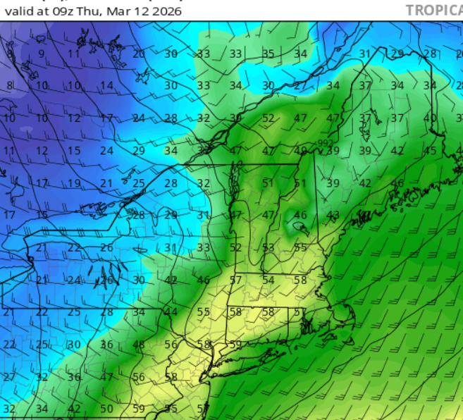
It should be nearly or completely vanquished by Thursday morning. dews in the low-mid 50's overnight tomorrow: If you can survive that, then you might be able to retain it for a while afterwards.
-
Just patchy at this point, and some coverage remaining across shielded areas. not sure it counts as 'snow cover'. I'll call the streak at 43 days
-
When was the last snowy March, regionally? Seems like ages
-
I haven't really followed the Winter 26/27 talk, but are we talking about a Super Nino? So we'll get a more active subtropical jet with more storm chances, with above normal temps. Kinda roll the dice with the storm tracks and lack of artic outbreaks..but could be worse I think. Eh, I'm think i'm mixing that up with Strong El Nino..in which case we might be fooked
-
I'd safely say we can punt the next week for any meaningful snow in SNE. If it's not going to snow, just give me warmth
-
Actually 12z was decent too in longer range but it started to cave on 3/16 then
-
I think yesterdays 6z Euro AI was the last favorable run
-
Dude's ego is off the charts. Just massive delusions of grandeur and self-importance. wowzers


