IWXwx
-
Posts
6,630 -
Joined
-
Last visited
Content Type
Profiles
Blogs
Forums
American Weather
Media Demo
Store
Gallery
Everything posted by IWXwx
-
Just picked up 1.62". My garden said thanks.
-


-
-
-
IWX obviously isn't bailing due to the south trend, mainly because of their thought that we are still in the game south of 30 with the warm front, as you alluded to earlier. From discussions, I got the idea that they aren't very happy with SPC's demoting us to slight, but of course they won't come out and say it, hence their post.
-
Wake low?
-
Got dumped on with .77" in less than half an hour earlier this afternoon. The same line went severe in Ohio.
-
It's gonna rain.
-
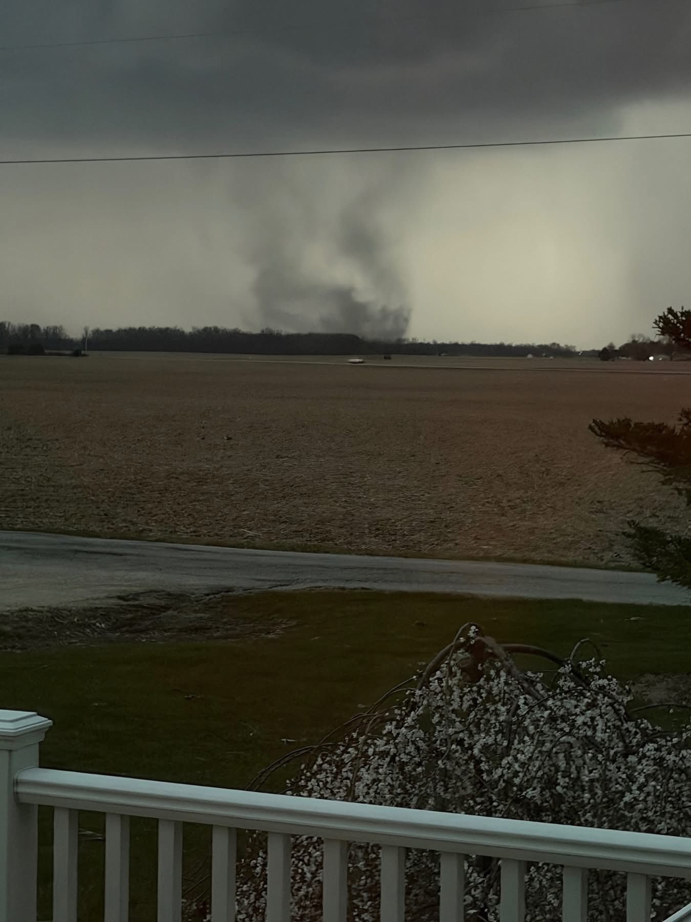
It's frustrating that I had three tornadoes within a few miles of my house and I couldn't see any of them. All three were embedded in the line that was producing widespread 65-70 MPH straight-line gusts. June 13, 2026 National Weather Service Confirms Three EF1 Tornadoes in Huntington County HUNTINGTON COUNTY, IN — The National Weather Service Northern Indiana has completed official storm damage surveys following the severe weather event that impacted Huntington County on June 11, 2026. Survey teams confirmed three EF1 tornadoes occurred across portions of Huntington County with estimated peak winds of 95 mph. No fatalities or injuries were reported. Andrews, IN Tornado Rating: EF1 Estimated Peak Wind: 95 mph Path Length: 5.83 miles Maximum Width: 75 yards Fatalities: 0 Injuries: 0 Start Date: June 11, 2026 Start Time: 10:33 PM EDT Start Location: 3 SSW Andrews / Huntington County / IN Start Lat/Lon: 40.8146 / -85.6399 End Date: June 11, 2026 End Time: 10:41 PM EDT End Location: 2 ENE Andrews / Huntington County / IN End Lat/Lon: 40.8708 / -85.5574 Survey Summary: A tornado developed southwest of Andrews, racing northeast toward Huntington. At least two properties on W Division Rd were impacted, as indicated by a loss of shingles, siding, and roof panels. Numerous trees were damaged as well, including trees snapped. Near the intersection of W 100 N and N 800 W, additional tree damage was observed and an outbuilding lost several roof panels. Along W 200 N, a number of trees were damaged at one property. Across the street, a mobile home lost its roof. The tornado appears to have lifted prior to reaching the Yake Subdivision, just south of the Wabash River. In the subdivision, isolated tree branches were down. Warren, IN – 4 Miles Northwest Tornado Rating: EF1 Estimated Peak Wind: 95 mph Path Length: 7.90 miles Maximum Width: 50 yards Fatalities: 0 Injuries: 0 Start Date: June 11, 2026 Start Time: 10:39 PM EDT Start Location: Pleasant Plain / Huntington County / IN Start Lat/Lon: 40.6993 / -85.5487 End Date: June 11, 2026 End Time: 10:48 PM EDT End Location: 1 WSW Plum Tree / Huntington County / IN End Lat/Lon: 40.7377 / -85.4080 Survey Summary: A tornado touched down north of Pleasant Plain, at a residence on S 500 W. Here, nearly two dozen trees were damaged, including multiple trees snapped at least halfway up their trunks. Tree damage appeared to continue into a tree line off to the northeast. Throughout its nearly 8-mile-long path to the northeast, sporadic instances of tree damage occurred until it approached State Route 5, just northwest of I-69. Here, the tornado caused almost total destruction to a newly built barndominium. Only the eastern wall was left standing with debris lofted at least 100 yards into adjacent fields. Tree damage continued east-northeast of here where at least two tree trunks were snapped. The tornado lifted just east of I-69, along S 200 E. Huntington, IN – 2.5 Miles Northeast Tornado Rating: EF1 Estimated Peak Wind: 95 mph Path Length: 0.65 miles Maximum Width: 25 yards Fatalities: 0 Injuries: 0 Start Date: June 11, 2026 Start Time: 10:44 PM EDT Start Location: 2 NW Bowerstown / Huntington County / IN Start Lat/Lon: 40.9122 / -85.4743 End Date: June 11, 2026 End Time: 10:45 PM EDT End Location: 2 NW Bowerstown / Huntington County / IN End Lat/Lon: 40.9178 / -85.4644 Survey Summary: In an open area north of US 24 and east of State Route 9, an incredibly brief tornado appears to have touched down and impacted a single residence. Here, a two-story home completely lost its roof and debris was deposited into adjacent fields. Hardly any rafters remain and no roof decking is present. Intense dirt and insulation splatter was noted on the east and north side of the home. Additionally, a detached garage to the south-southeast of the home was demolished by the tornado. A property less than 500 yards to the northeast was not impacted, suggesting the tornado quickly lifted beyond 600 N.
-
That dude was embedded within the line with 70-75 MPH straight line winds around it. Substantial damage caused by falling trees in Huntington, as well as the towns of Andrews, Roanoke, and Wabash, which are all located along US 24, basically the path that the radar indicated tornado took, from the town of Wabash to Ft. Wayne. I couldn't see anything from my house and wasn't going chase blind, but from radio traffic last night, if there was one on the ground, it went just north of town. NWS will be here this afternoon.
-
Wow! Easy chase lol. Nice grab
-
You catch smallies from the bank?
-
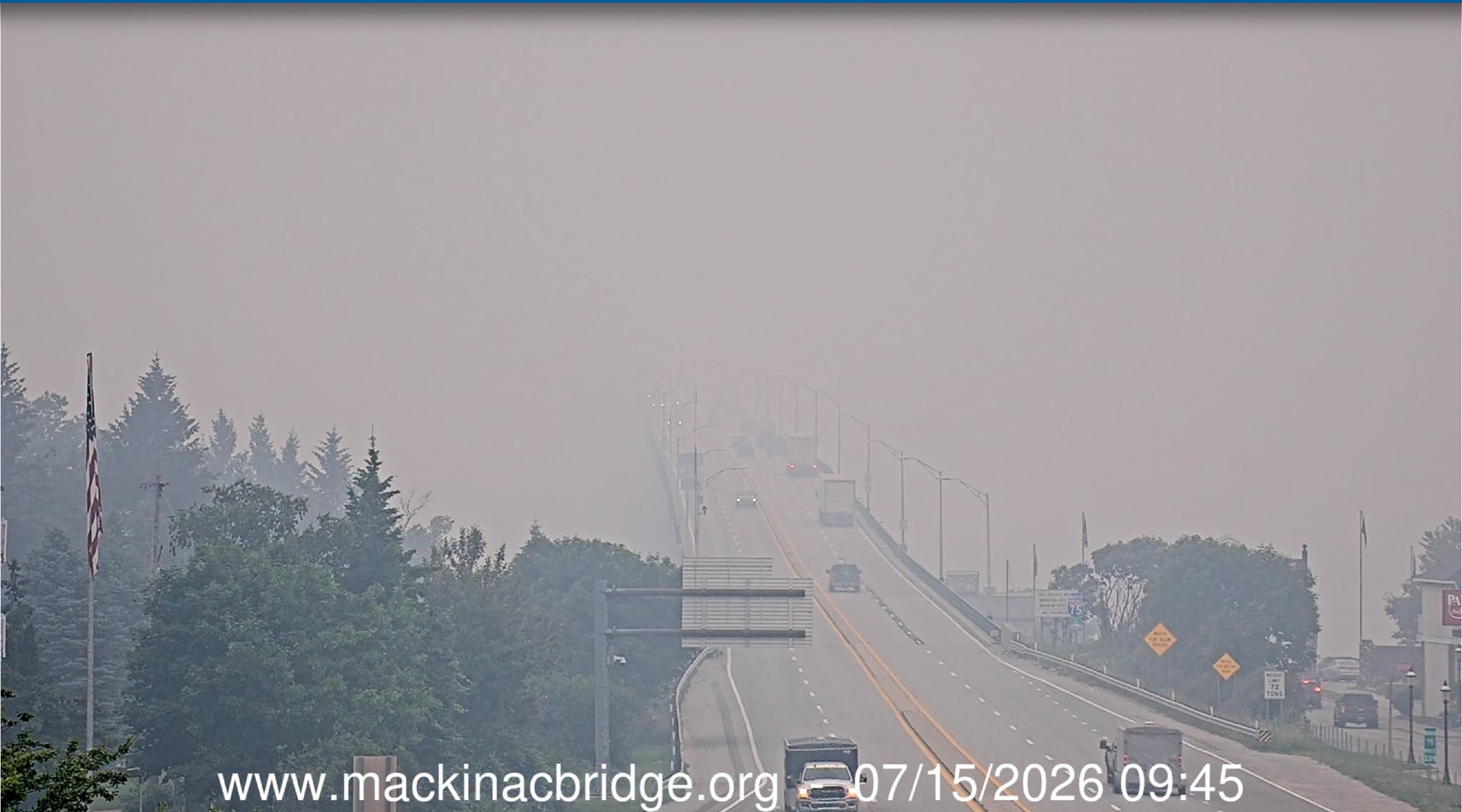
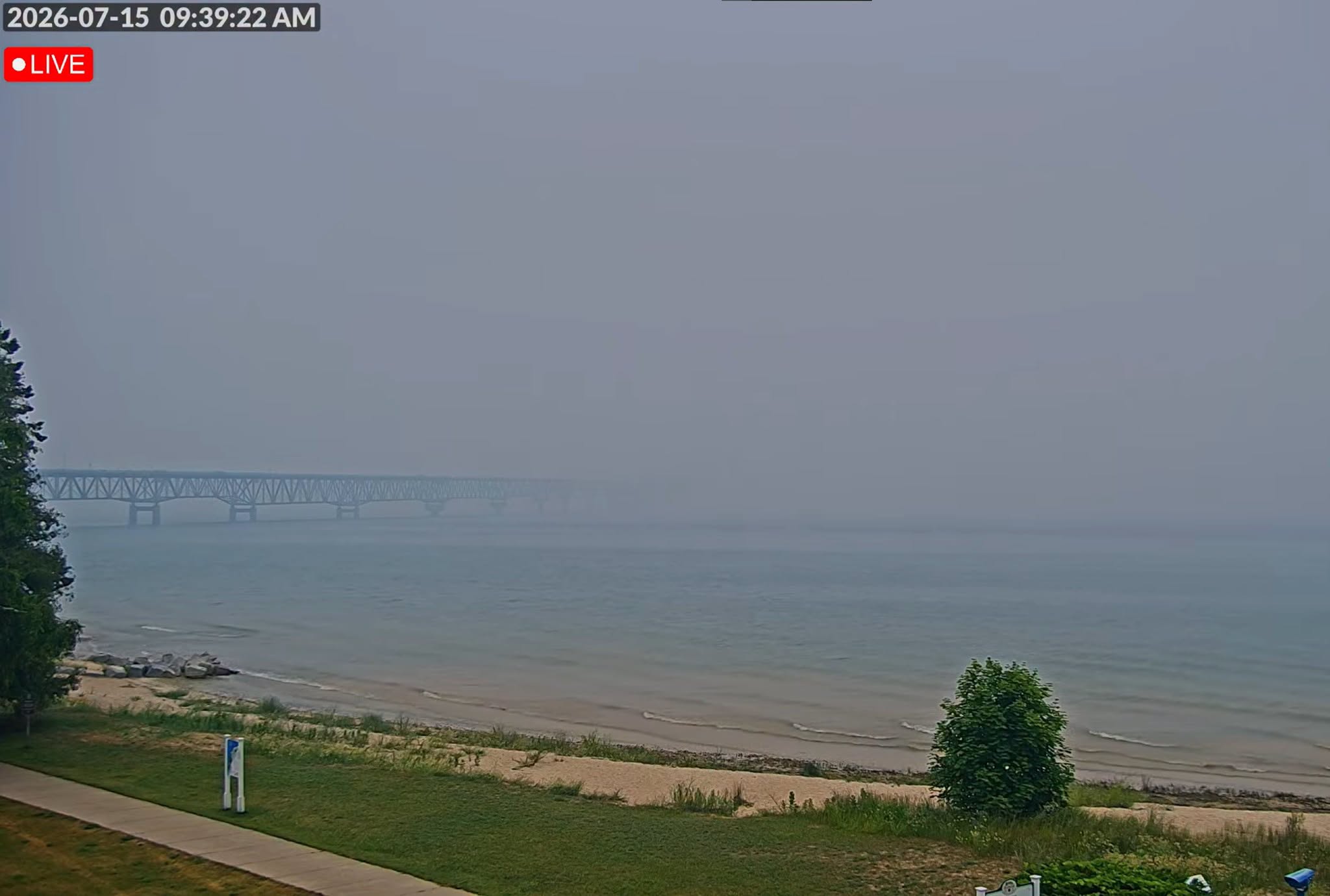
Don't worry. We have some Saharan dust heading our way. That may tide you over.
-
You're gonna miss IWX.
-
Sirens for Severe t-Storms warnings create siren fatigue and people begin to ignore them. Highly unrecommended. From a former EMA Director.
-
I thought that you got hammered a few weeks ago, while I was suffering one miss after another. In the meantime, we've had 5.66" in the past 30 days, completely wiping out our extreme drought. Amazing how different it can be in only 50 miles.
-
Turned ours on about 4 hours ago. After the clouds from the morning rain cleared, we shot up to 83 (predicted 77). We've hit the low 80's a couple of times, but without the dews.
-
It looks like we did have a quick spinup yesterday evening in the extreme southern part of the county and adjoining county (Huntington and Wabash), from radar appeared to be a cell merger. I was one my way back from Ft. Wayne, so didn't have time to get that far south with the speed of the storm movement. I mentioned to the local Skywarn group that it should have been T-warned, but never was. One of the spotters got down there to collect some large hail off of the ground as it sped away. The Director who took my job after I retired is meeting the NWS survey team down there this morning. That was one part of the job that I miss is doing storm surveys.


-
I'm just biding my time right now. I will be in Ft. Wayne until 6-ish for my maintenance chemo. Will be keeping a close eye on radar so maybe I can get out of Dodge before the storms get here for a back yard chase, but will try to stay out from under any stones. Will have the wife with me who hates to chase, but she will be recruited if need be. lol
-
Although this month isn’t getting the notoriety of 2012, it’s been pretty warm around here, dating back to mid Feb. In fact, I was surprised by this Facebook post by IND: ”Indianapolis has so far exceeded 70 degrees on 8 days this year, starting with 71°F on 2/18, and led by 79°F on 3/6 and 78°F on 3/20. This tally is the 2nd-greatest on record through March 20th, behind 2012's record 9 days. The normal 71°F+ tally by 3/20 is only 2 days.” With a predicted high of 78 today, 81 tomorrow, and 74 on Thursday, 2026 will set a standard in Indiana for late winter/early spring warmth.
-
Wow!!! that's some amazing stuff right there. Good to hear from you. I was concerned, since you've been AWOL here all winter.
-
86 mph gust at KMIE. Multiple semis blown over on I 69 south of FWA.
-
I wondered why you haven't mentioned chasing when you've had several opportunities to fairly close by recently. I'm like you about the hordes of chasers. I remember when I could go on a chase in Indiana and be the only car out there. Jackstraw is seriously right about the other chasers being more dangerous than the storm itself. I will still do it if it's within an hour's drive though.